Thaurer Zunterkopf - the little neighbour of the Bettelwurf


Retkitiedot
13,56km
632
- 1.910m
1.224hm
1.218hm
05:00h

- Lyhyt kuvaus
-
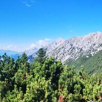
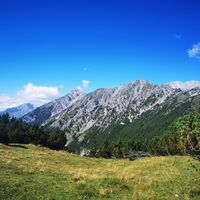
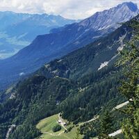
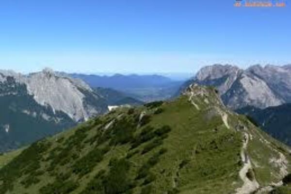
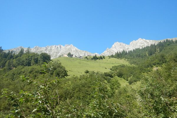
Easy hike to the panoramic mountain Thauer Zunterkopf with a wonderful stop for refreshments at the Thaurer Alm
- Vaikeus
-
tapa
- Arviointi
-
- Reitti
-
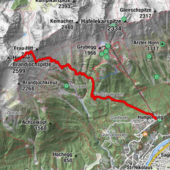
Totenkapelle0,0 kmPfarrkirche Thaur0,0 kmThaur (633 m)0,1 kmStollenquelle0,9 km101,0 kmSchlosskirche St. Romedius1,5 kmRomediwirt1,5 kmPartscheil3,3 kmSchihütte WSV Thaur4,5 kmThaurer Alm4,5 kmThaurer Zunterkopf (1.918 m)6,7 kmSchlung8,0 kmPartscheil10,2 kmRomediwirt12,0 kmSchlosskirche St. Romedius12,0 km1012,4 kmStollenquelle12,6 kmThaur (633 m)13,5 kmPfarrkirche Thaur13,5 kmTotenkapelle13,5 km
- Paras kausi
-
tammihelmimaalishuhtitoukokesäheinäelosyyslokamarrasjoulu
- Korkein kohta
- 1.910 m
- Kohde
-
Thaur
- Korkeusprofiili
-
-

-
KirjoittajaKiertue Thaurer Zunterkopf - the little neighbour of the Bettelwurf käyttää outdooractive.com toimitettu.
GPS Downloads
Yleistä tietoa
Virvokepysäkki
Sisäpiirin vinkki
Lupaava
Lisää retkiä alueilla


