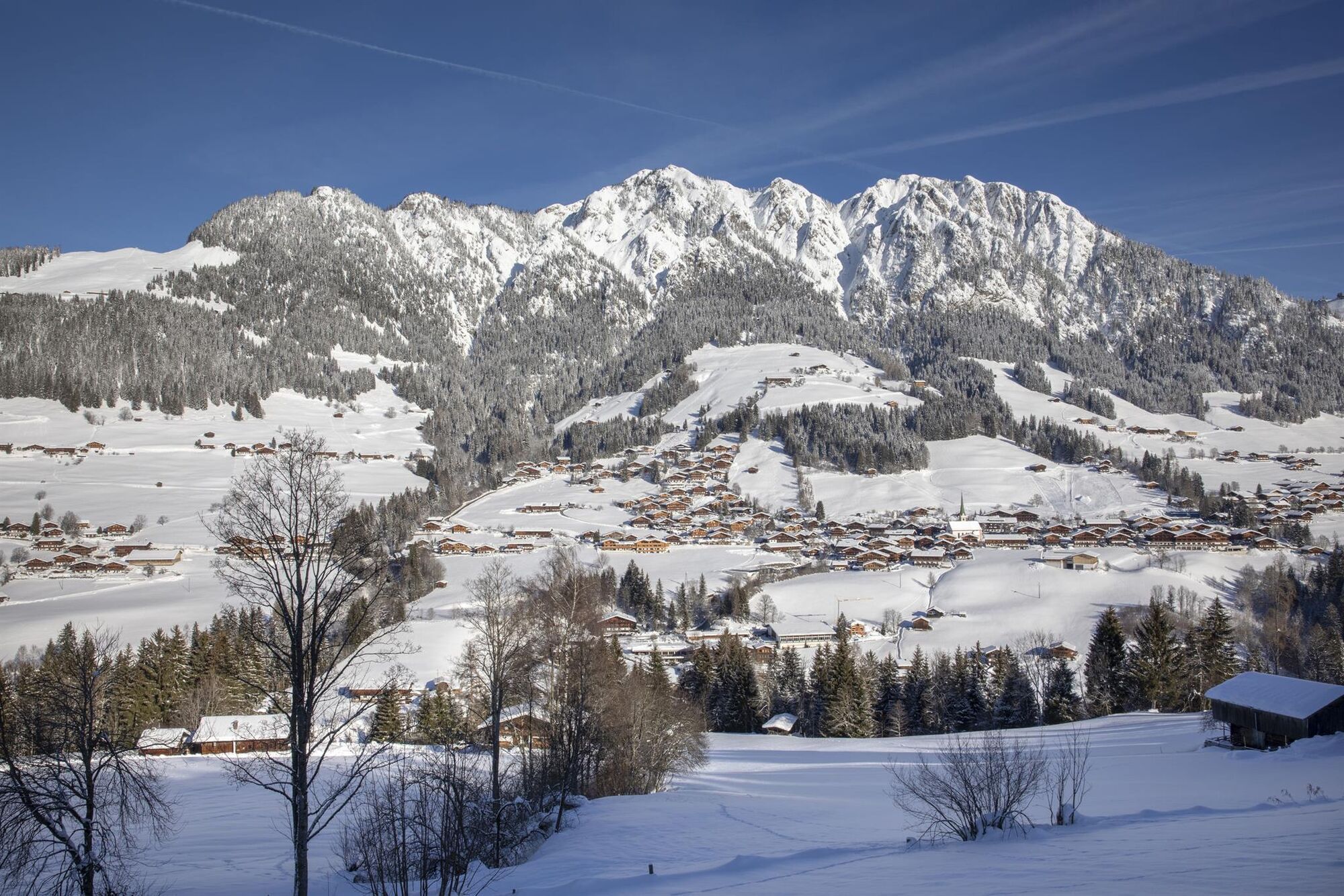
© Alpbachtal Tourismus / Matthias Sedlak
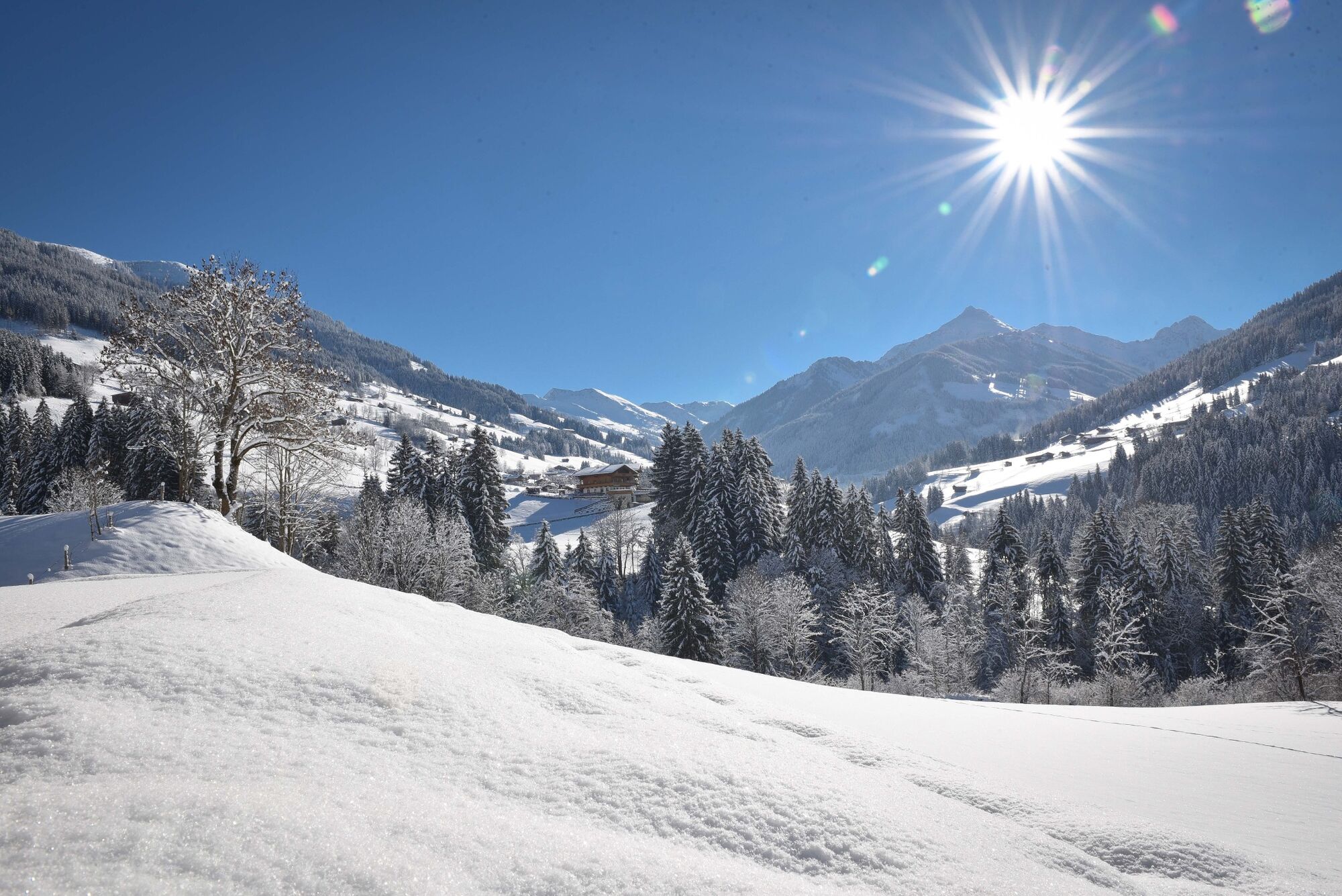
© Alpbachtal Tourismus - Gabriele Grießenböck
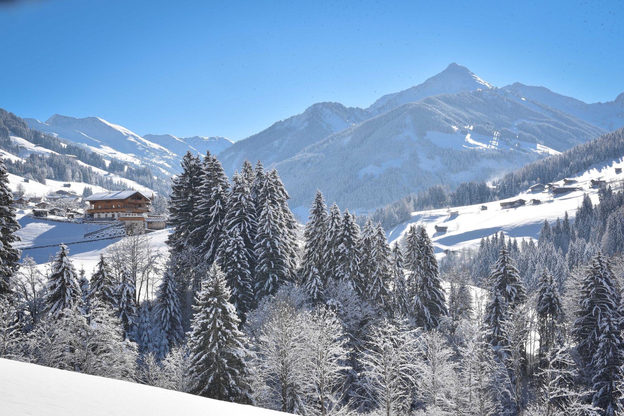
© Alpbachtal Tourismus - Gabriele Grießenböck

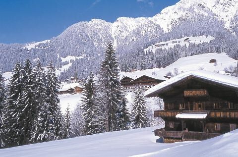
© Konrad Margreiter


© Alpbachtal Tourismus


- Lyhyt kuvaus
-
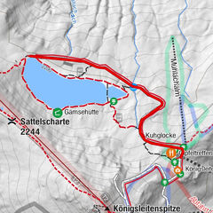
Circular trail - via the "sunny side" of the valley to Inneralpach and "Neader = shady side" back to the starting point. You also take a bus back from Inneralpbach to Alpbach.
- Vaikeus
-
tapa
- Arviointi
-
- Reitti
-
Alpbach (975 m)0,0 kmHeiligenkasten0,1 kmPfarrkirche Alpbach0,1 kmInneralpbach3,8 kmSchulmeisterkapelle4,0 kmAlpbach (975 m)10,5 kmHeiligenkasten10,6 kmPfarrkirche Alpbach10,6 km
- Paras kausi
-
elosyyslokamarrasjoulutammihelmimaalishuhtitoukokesäheinä
- Korkein kohta
- 1.076 m
- Kohde
-
Alpbach
- Korkeusprofiili
-


- Kirjoittaja
-
Kiertue Mittlerer Höhenweg - Alpbach käyttää outdooractive.com toimitettu.
GPS Downloads


Yleistä tietoa
Virvokepysäkki
Lisää retkiä alueilla
-
Alpbachtal
93
-
Alpbach
36