© TVB Wilder Kaiser - TVB Wilder Kaiser/Martin Exenberger

© TVB Wilder Kaiser - TVB Wilder Kaiser/Thomas Hennerbichler

© TVB Wilder Kaiser - TVB Wilder Kaiser/Lotte Moons

© TVB Wilder Kaiser - TVB Wilder Kaiser/von Felbert_Reiter

- Lyhyt kuvaus
-
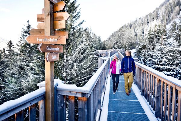
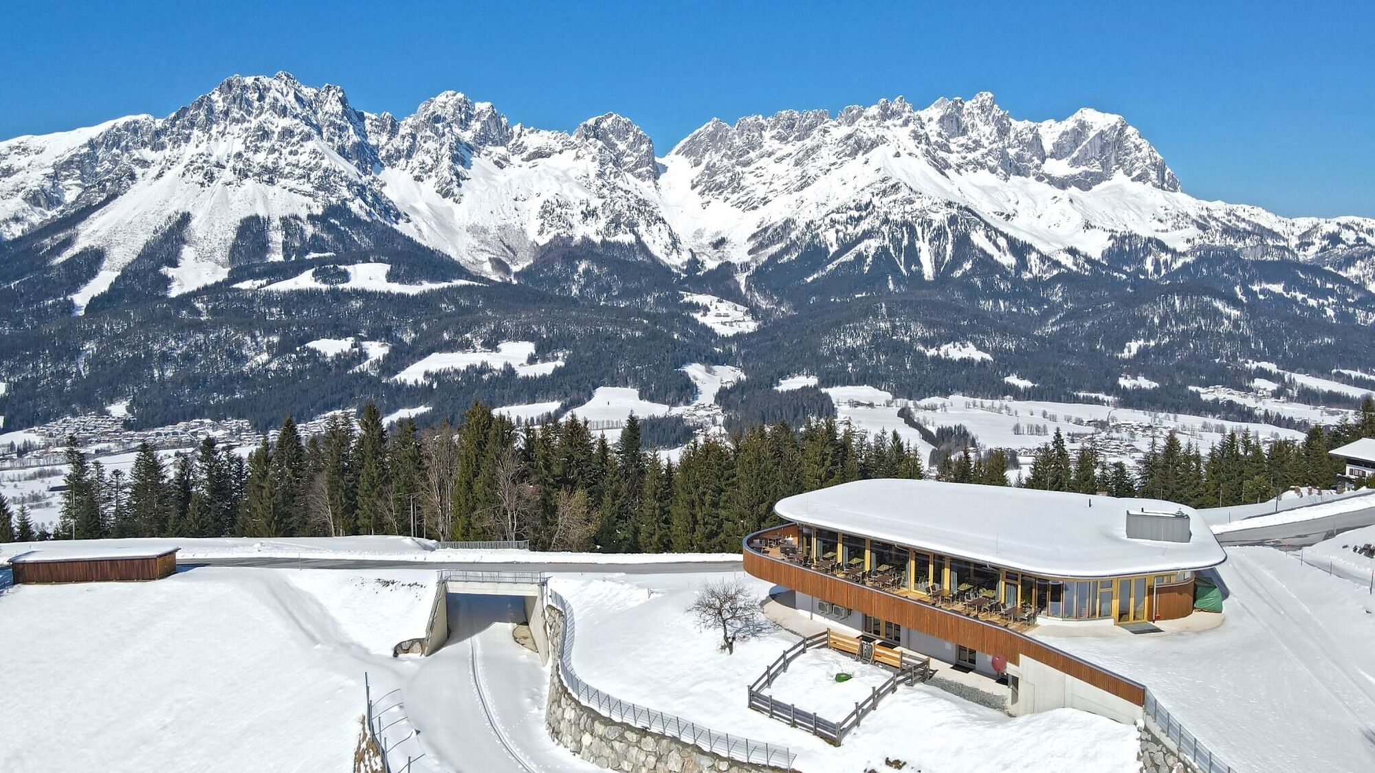
An ascent that is rewarded with refreshments.
Back to the valley with the toboggan, the lift or on foot. - Vaikeus
-
helppo
- Arviointi
-
- Reitti
-
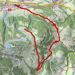
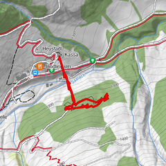
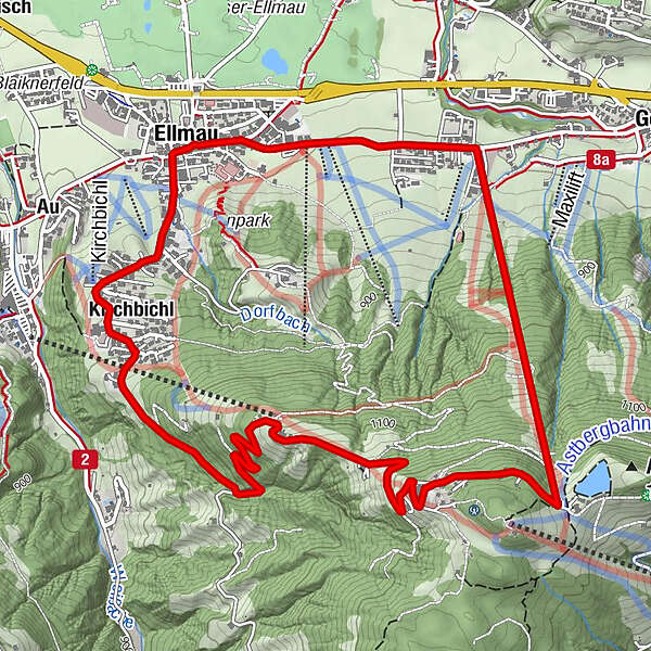
Ellmau0,1 kmPfarrkirche0,2 kmKirchbichl (894 m)0,9 kmTreichlhof (1.156 m)3,3 kmJEZZ - ehem. Brenner Alm (1.250 m)4,1 kmAstberg4,7 kmAstberg6,1 kmEllmau7,3 km
- Paras kausi
-
elosyyslokamarrasjoulutammihelmimaalishuhtitoukokesäheinä
- Korkein kohta
- 1.253 m
- Kohde
-
Astbergbahn, Going (804 m)
- Korkeusprofiili
-


- Kirjoittaja
-
Kiertue Hausberg käyttää outdooractive.com toimitettu.
GPS Downloads
Lisää retkiä alueilla
-
Wilder Kaiser
190
-
Ellmau
87