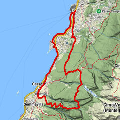
Garda Trek - Top Loop 1: from Riva del Garda to Rifugio Pernici


© Garda Trentino - G.P. Calzà ©APT Garda Trentino

© Garda Trentino - G.P. Calzà ©APT Garda Trentino

© Garda Trentino - Archivio APT Garda Trentino (ph. Calzà)

© Garda Trentino - G.P. Calzà ©APT Garda Trentino

© Garda Trentino - Alice Russolo

© Garda Trentino - N. Pellegrini

- Lyhyt kuvaus
-
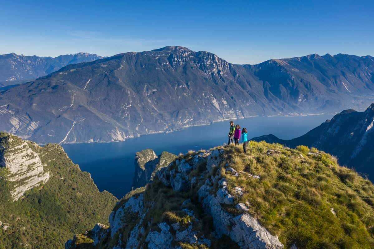
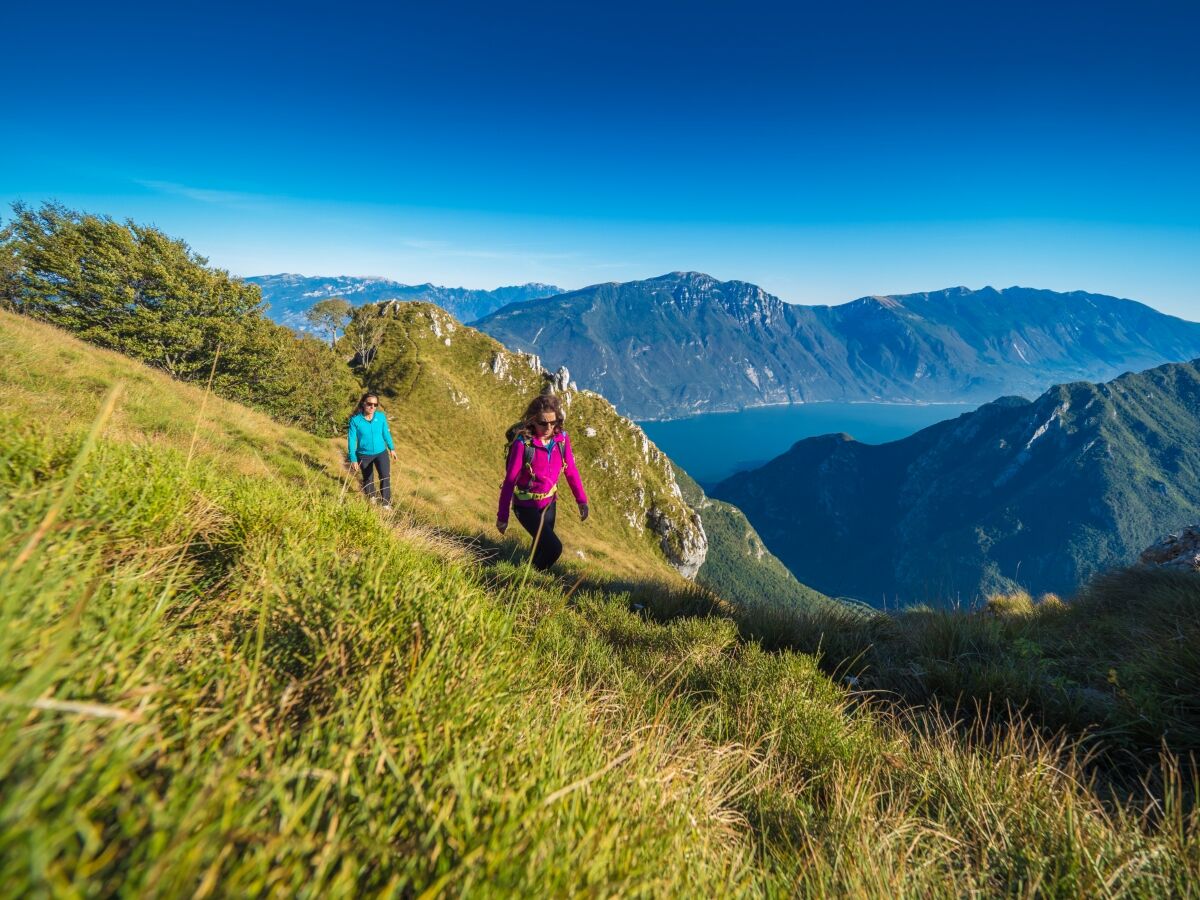
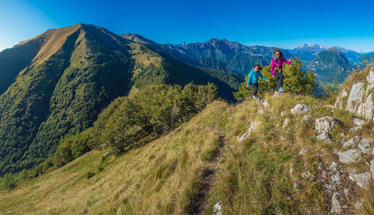
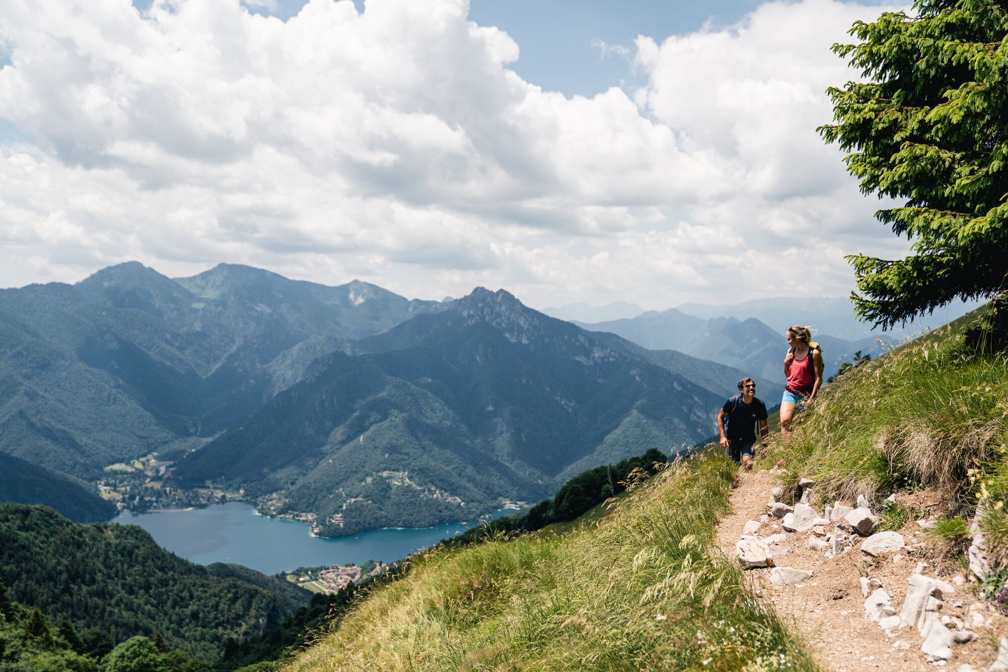
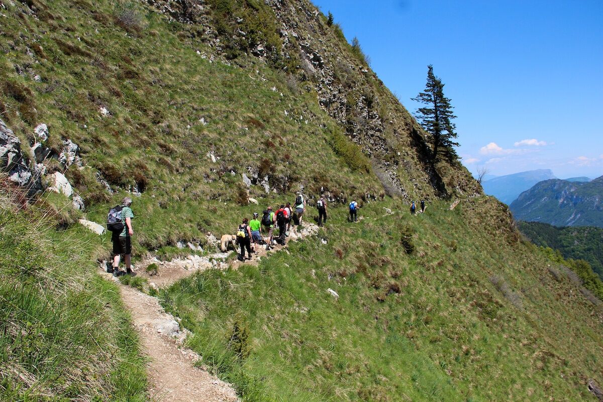
This stage counts nearly 1600 metres of elevation gain, from the mediterranean shores of Lake Garda to the alpine peaks between Garda Trentino and Valle di Ledro.
- Vaikeus
-
vaikea
- Arviointi
-
- Reitti
-
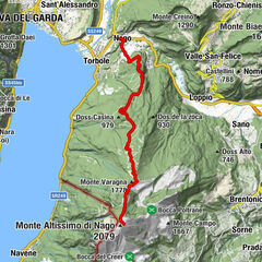
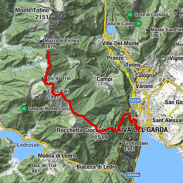
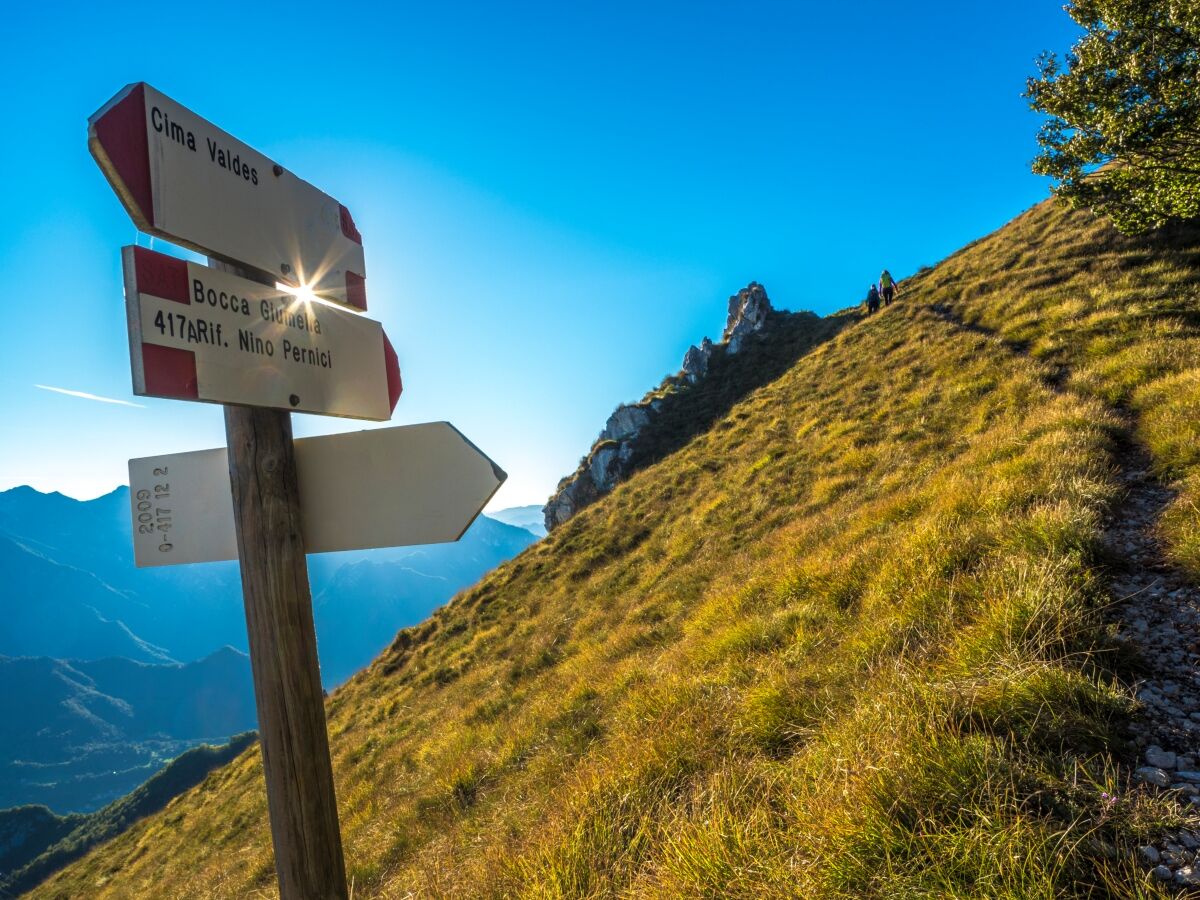
Riva del Garda0,1 kmSanta Maria Maddalena1,2 kmCrazidei3,3 kmCima Sat (1.245 m)4,6 kmBaita Mirella11,7 km
- Paras kausi
-
tammihelmimaalishuhtitoukokesäheinäelosyyslokamarrasjoulu
- Korkein kohta
- 1.787 m
- Kohde
-
Mountain hut Nino Pernici - Bocca di Trat
- Korkeusprofiili
-
 © outdooractive.com
-
-
KirjoittajaKiertue Garda Trek - Top Loop 1: from Riva del Garda to Rifugio Pernici käyttää outdooractive.com toimitettu.
GPS Downloads


Yleistä tietoa
Lupaava
Lisää retkiä alueilla
-
Valle di Ledro
567
-
Molina di Ledro
276