© APT - Valsugana e Lagorai - Cristina Facen

© APT - Valsugana e Lagorai - APT Valsugana

© APT - Valsugana e Lagorai - APT Valsugana

© APT - Valsugana e Lagorai - APT Valsugana

© APT - Valsugana e Lagorai - APT Valsugana

© APT - Valsugana e Lagorai - Omar Ropelato

© APT - Valsugana e Lagorai - Angela Ventin

© APT - Valsugana e Lagorai - Omar Ropelato


- Lyhyt kuvaus
-
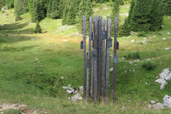
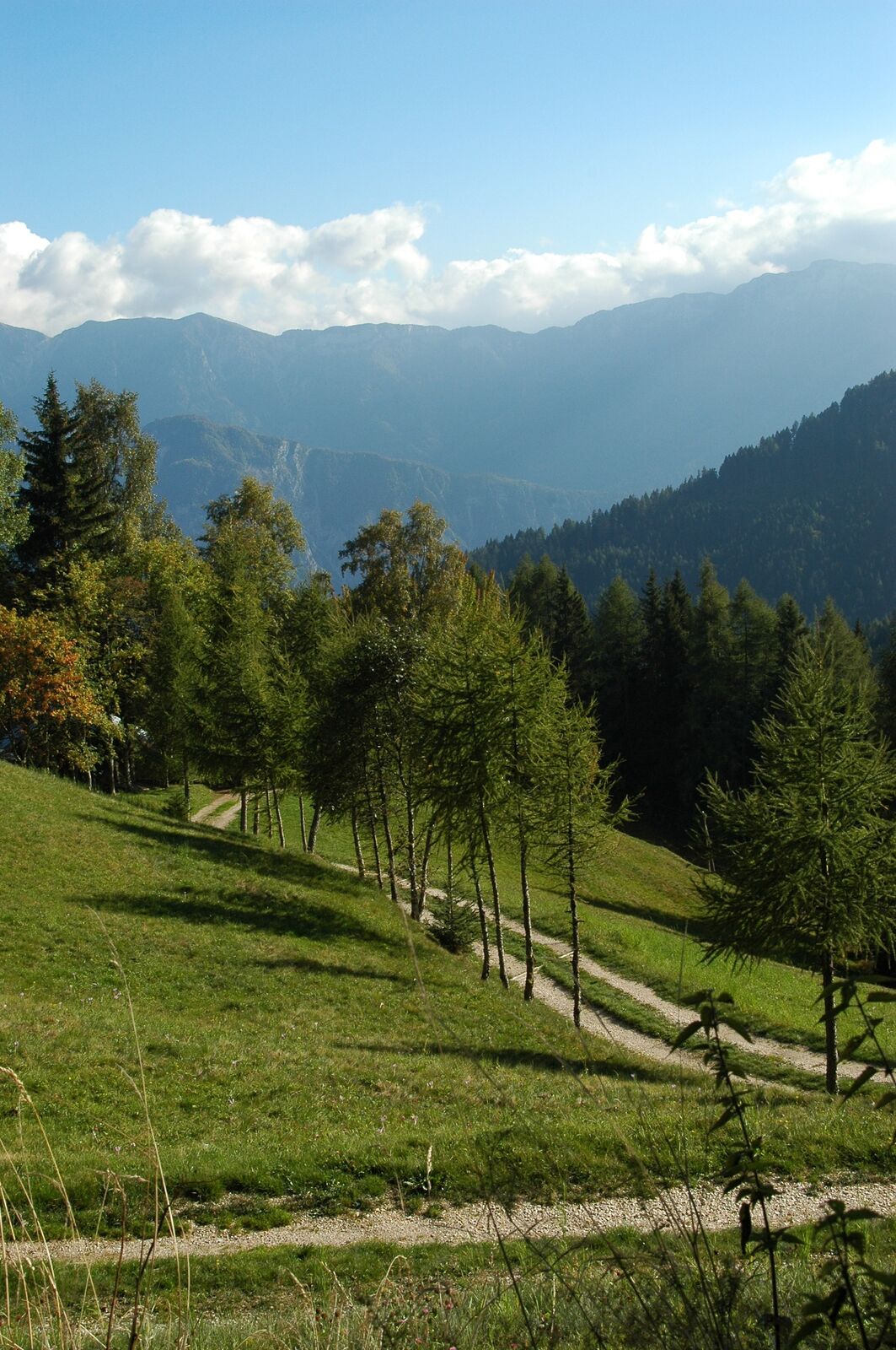
The landscape and scents of the alpine pastures are guaranteed. In fact, there are many mountain huts that you can meet by taking this route that we highly recommend.
- Vaikeus
-
tapa
- Arviointi
-
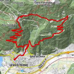
- Reitti
-
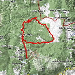
Roncegno TermeSanti Pietro e Paolo0,2 kmCadenzi0,6 kmScalvin0,7 kmCasa Nervo2,6 kmPen4,9 kmRifugio Erterle8,8 kmPozze11,6 kmSerot13,6 kmRifugio Serot (1.566 m)13,7 kmTrenca14,8 kmAgriturismo Paradiso15,9 kmDesene di Sopra17,6 kmDesene di Sotto18,2 kmMeusi20,0 kmLa Bessa21,7 kmGanarini22,3 kmZurli22,7 kmDosso23,5 kmCaumi (900 m)23,8 kmMoneghetti24,2 kmCanai (830 m)24,3 kmTrozzo24,7 kmRonchi Valsugana24,9 kmMarchi25,0 kmBosco (797 m)25,3 kmStanghelini25,4 kmSasso (808 m)25,7 kmPicco26,5 kmPìnzeri26,9 kmMaso Rincheri27,0 kmStralleri di Sotto27,5 kmGionzeri27,7 kmRoncegno Terme28,6 km
- Paras kausi
-
tammihelmimaalishuhtitoukokesäheinäelosyyslokamarrasjoulu
- Korkein kohta
- 1.685 m
- Kohde
-
Roncegno Terme
- Korkeusprofiili
-
 © outdooractive.com


- Kirjoittaja
-
Kiertue eBike - on the Mountain of Roncegno Terme käyttää outdooractive.com toimitettu.
GPS Downloads

Yleistä tietoa
Virvokepysäkki
Kulttuuri/Historiallinen
Sisäpiirin vinkki
Lupaava
Lisää retkiä alueilla