© Dolomiti di Brenta e Paganella - ph. Frizzera

© Dolomiti di Brenta e Paganella - ph. Modica

© Dolomiti di Brenta e Paganella - ph. Frizzera

© Dolomiti di Brenta e Paganella - ph. Frizzera

© Dolomiti di Brenta e Paganella - ph. Frizzera

- Lyhyt kuvaus
-
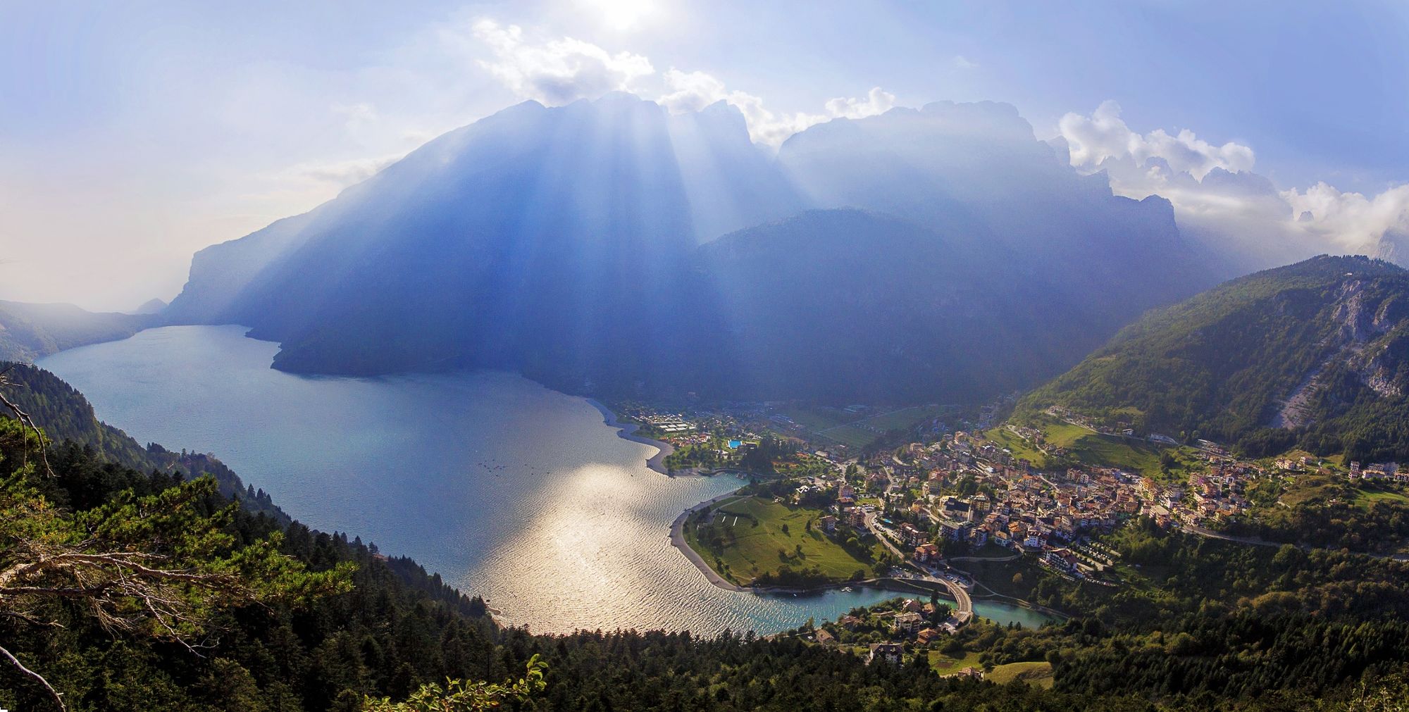
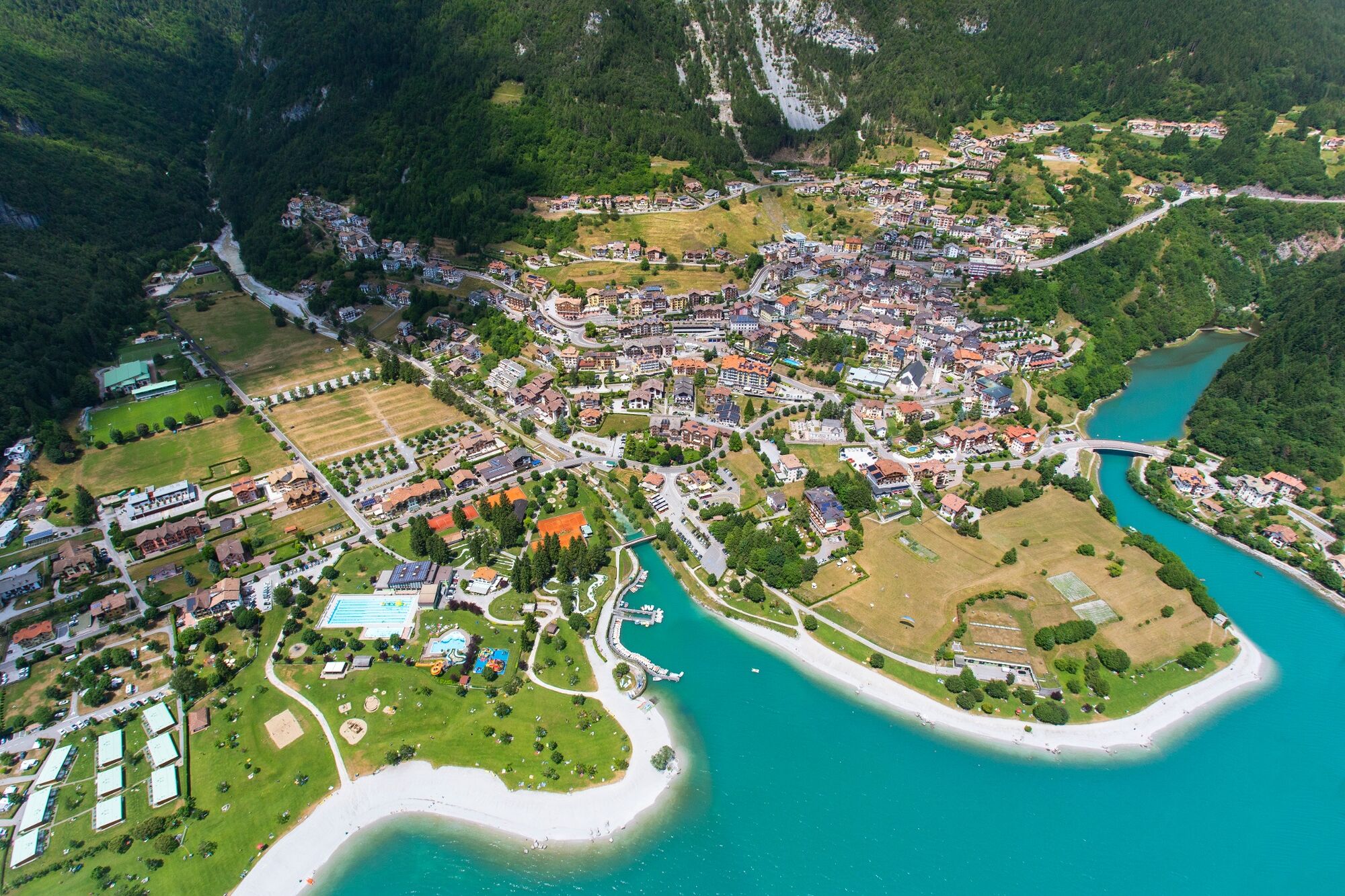
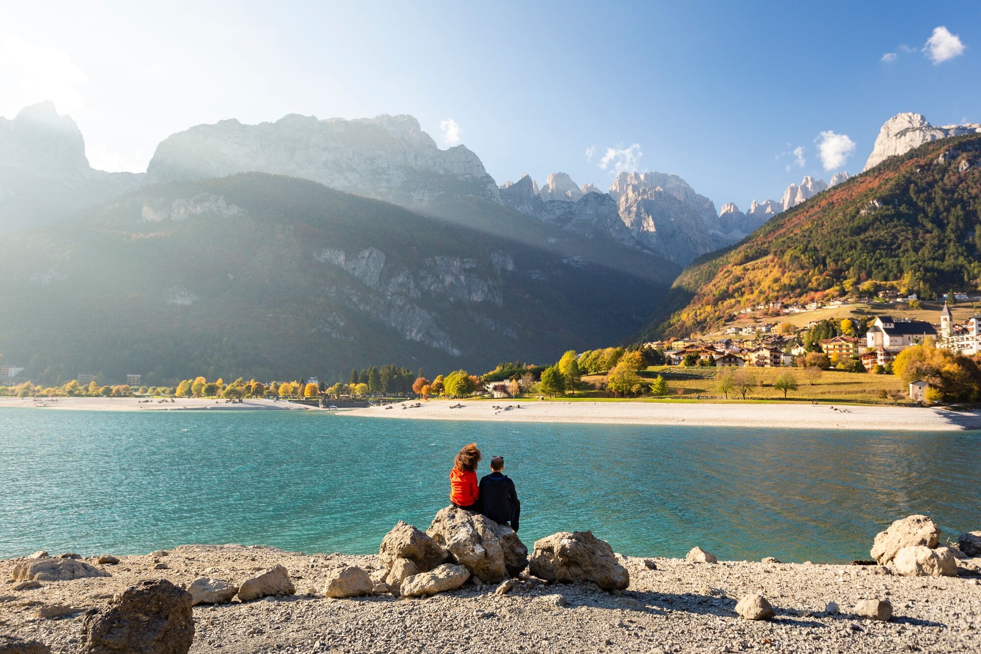
Two steps in front of the blue water
- Vaikeus
-
helppo
- Arviointi
-
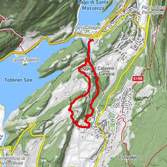
- Reitti
-
Cascata sul lago di Bior0,4 kmParco giochi1,5 kmMolveno1,6 km
- Paras kausi
-
tammihelmimaalishuhtitoukokesäheinäelosyyslokamarrasjoulu
- Korkein kohta
- 866 m
- Kohde
-
Molveno - Biorsee
- Korkeusprofiili
-
 © outdooractive.com


-

-
KirjoittajaKiertue On the banks of Molveno lake and Bior lake käyttää outdooractive.com toimitettu.
GPS Downloads


Yleistä tietoa
Virvokepysäkki
Parantava ilmasto
Lupaava
Lisää retkiä alueilla