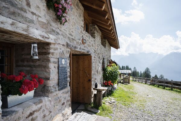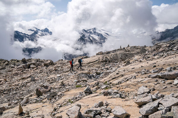
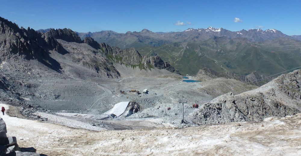
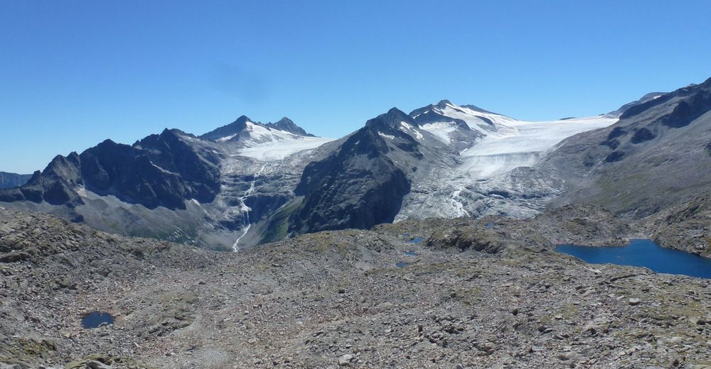
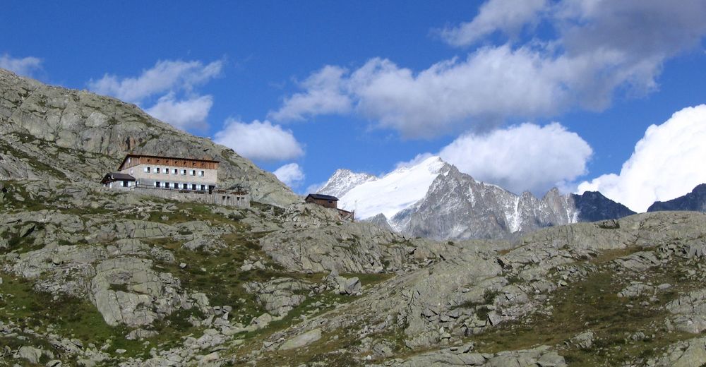
© APT - Valli di Sole, Peio e Rabbi - Ph Guide Alpine Val di Sole
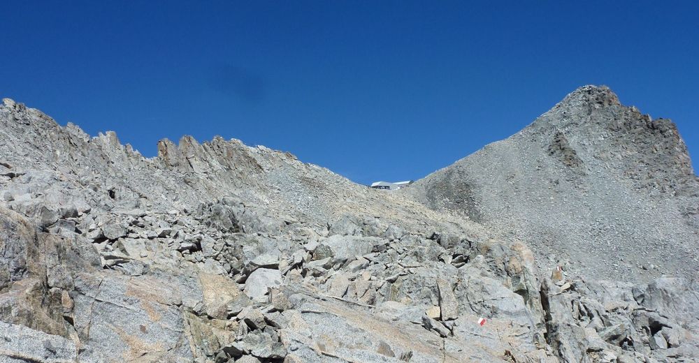
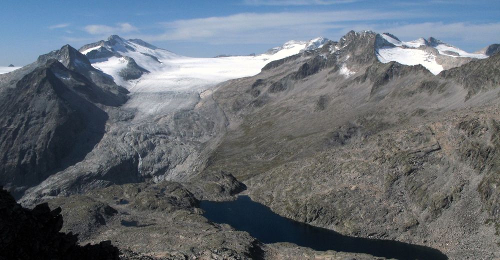
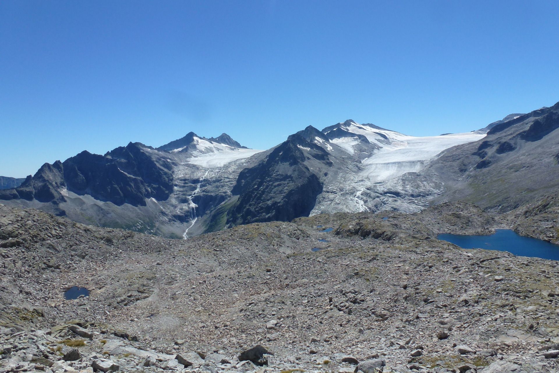
© APT - Valli di Sole, Peio e Rabbi - Ph Guide Alpine Val di Sole
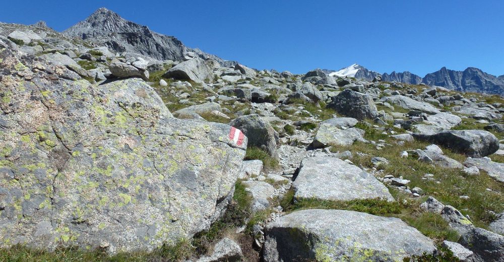
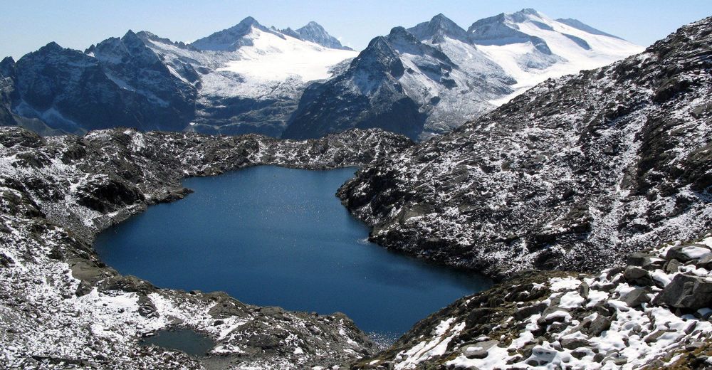
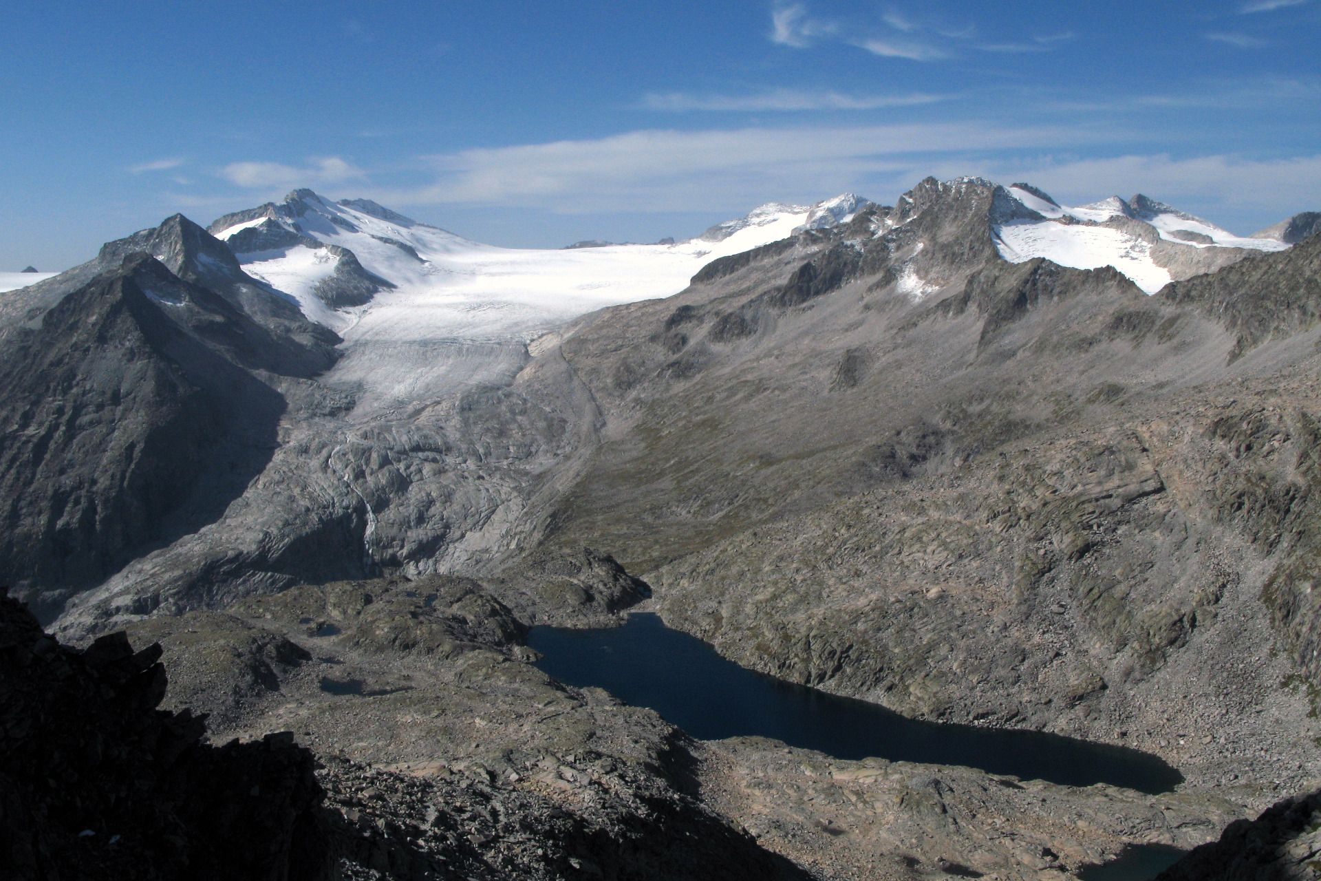
© APT - Valli di Sole, Peio e Rabbi - Ph Guide Alpine Val di Sole
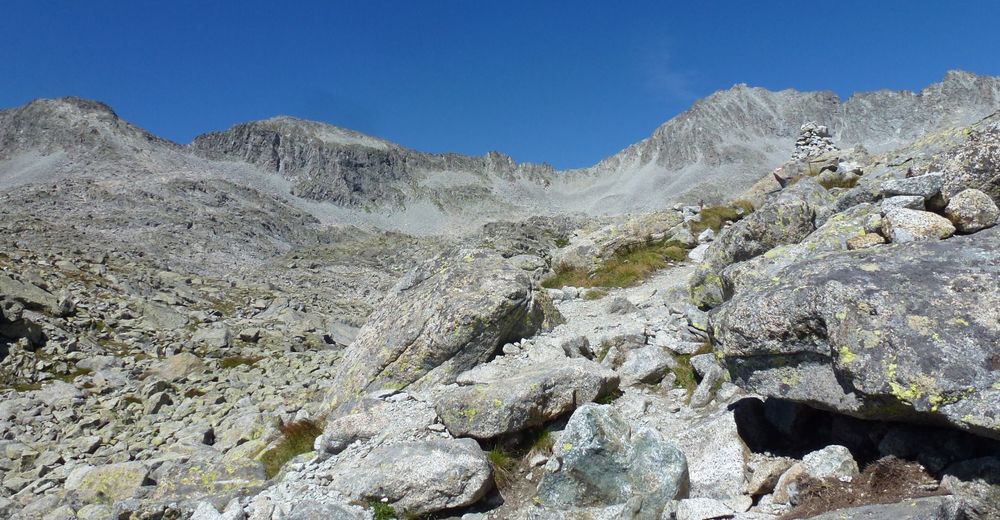
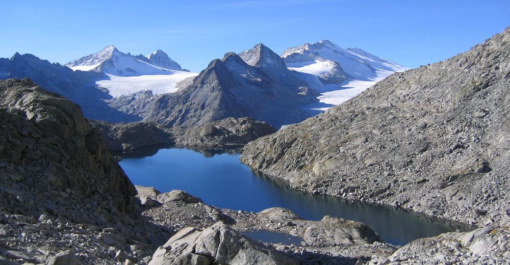
© APT - Valli di Sole, Peio e Rabbi - Ph Guide Alpine Val di Sole
© APT - Valli di Sole, Peio e Rabbi - Ph Guide Alpine Val di Sole
© APT - Valli di Sole, Peio e Rabbi - Ph Guide Alpine Val di Sole
© APT - Valli di Sole, Peio e Rabbi - Ph Guide Alpine Val di Sole
© APT - Valli di Sole, Peio e Rabbi - Ph Guide Alpine Val di Sole
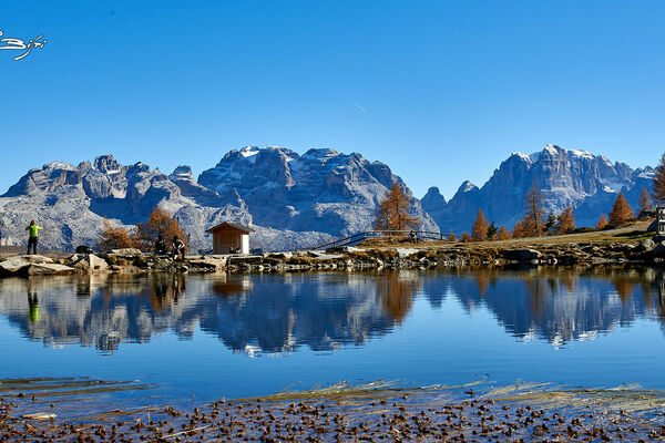
© APT - Valli di Sole, Peio e Rabbi - Ph Paola Bezzi
© APT - Valli di Sole, Peio e Rabbi - Ph Paola Bezzi


- Lyhyt kuvaus
-
A pleasant itinerary in the Adamello-Brenta Park. Base point for the «Rifugio dei Caduti dell’Adamello» (The fallen from Adamello) and other tours in this glacial area.
- Vaikeus
-
tapa
- Arviointi
-
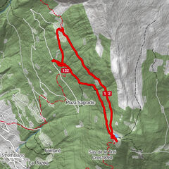
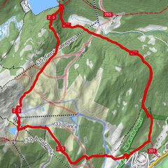
- Reitti
-
Rifugio Mandrone3,1 km
- Paras kausi
-
tammihelmimaalishuhtitoukokesäheinäelosyyslokamarrasjoulu
- Korkein kohta
- 2.978 m
- Kohde
-
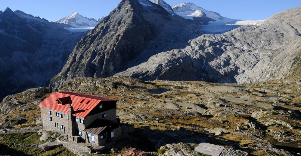
Rifugio Mandron «Città di Trento» alpine hut
- Korkeusprofiili
-
 © outdooractive.com


- Kirjoittaja
-
Kiertue Rifugio Mandron «Città di Trento» alpine hut käyttää outdooractive.com toimitettu.
GPS Downloads


Yleistä tietoa
Virvokepysäkki
Kulttuuri/Historiallinen
Lupaava
Lisää retkiä alueilla