© Rete di Riserve Val di Cembra Avisio - Patrick Odorizzi

© Rete di Riserve Val di Cembra Avisio - Patrick Odorizzi

© Rete di Riserve Val di Cembra Avisio - Paolo Piffer

© Rete di Riserve Val di Cembra Avisio - Paolo Piffer

© Rete di Riserve Val di Cembra Avisio - Paolo Piffer

© Rete di Riserve Val di Cembra Avisio - Alessandro Cristofoletti

© Rete di Riserve Val di Cembra Avisio - Alessandro Cristofoletti

- Lyhyt kuvaus
-
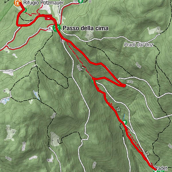
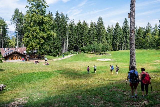
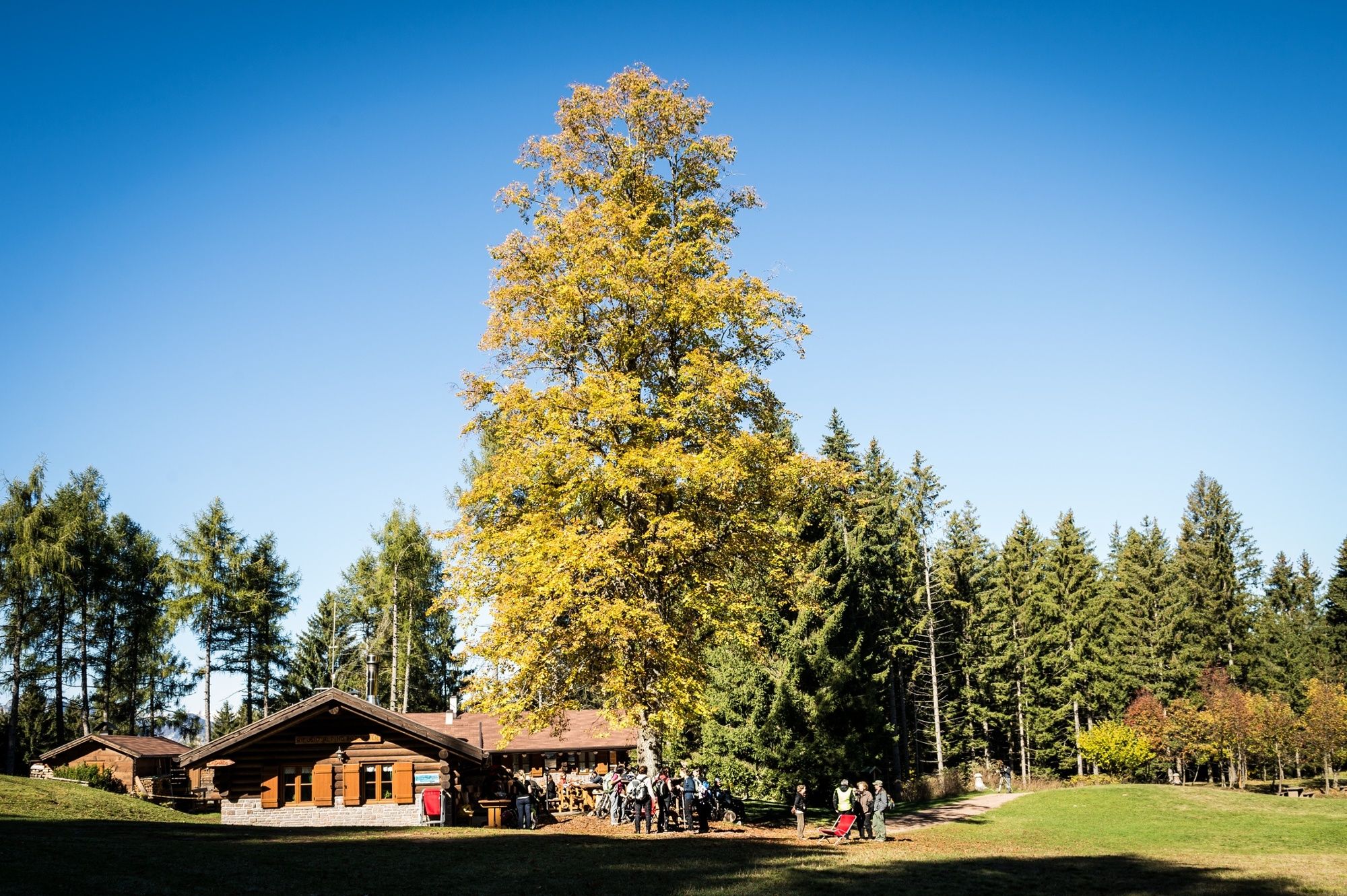
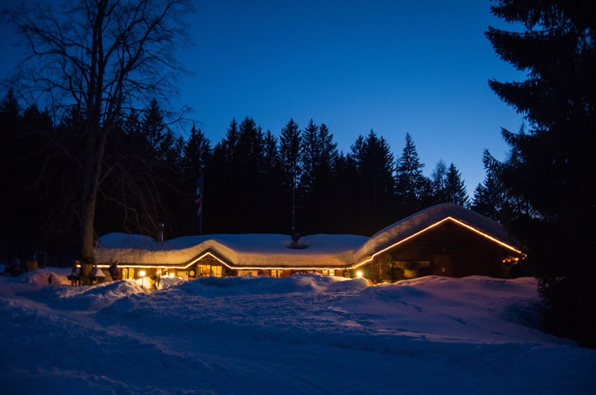
Trail from the farms Masi di Grumes to the mountain hut Potzmauer, the hut into the woods.
- Vaikeus
-
helppo
- Arviointi
-
- Reitti
-
PradetRifugio Potzmauer2,4 kmPradet4,9 km
- Paras kausi
-
tammihelmimaalishuhtitoukokesäheinäelosyyslokamarrasjoulu
- Korkein kohta
- 1.351 m
- Kohde
-
Rifugio Potzmauer (mountain hut)
- Korkeusprofiili
-
 © outdooractive.com
-

-
KirjoittajaKiertue Hike to the mountain hut Potzmauer. käyttää outdooractive.com toimitettu.
GPS Downloads


Yleistä tietoa
Virvokepysäkki
Lisää retkiä alueilla