© La via delle PREALPI - Editor - la Via delle PREALPI

© La via delle PREALPI - Editor - la Via delle PREALPI

© La via delle PREALPI - Editor - la Via delle PREALPI

© La via delle PREALPI - Editor - la Via delle PREALPI

- Lyhyt kuvaus
-
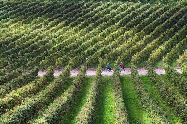
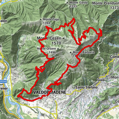
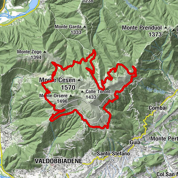
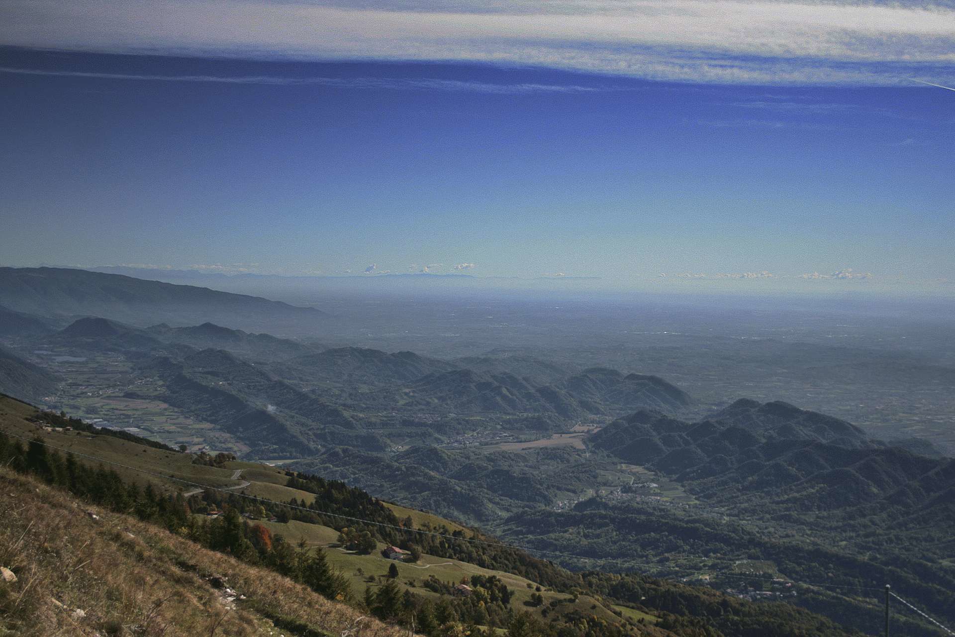
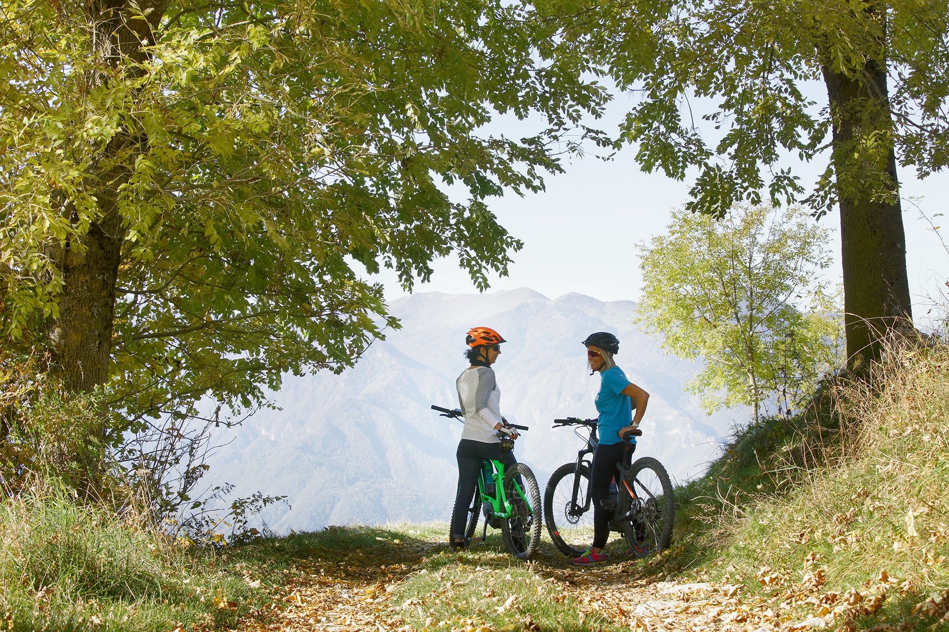
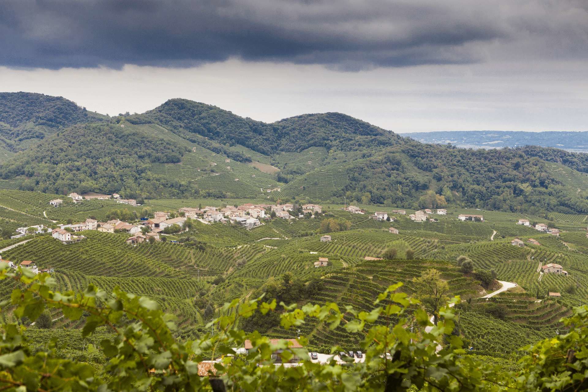
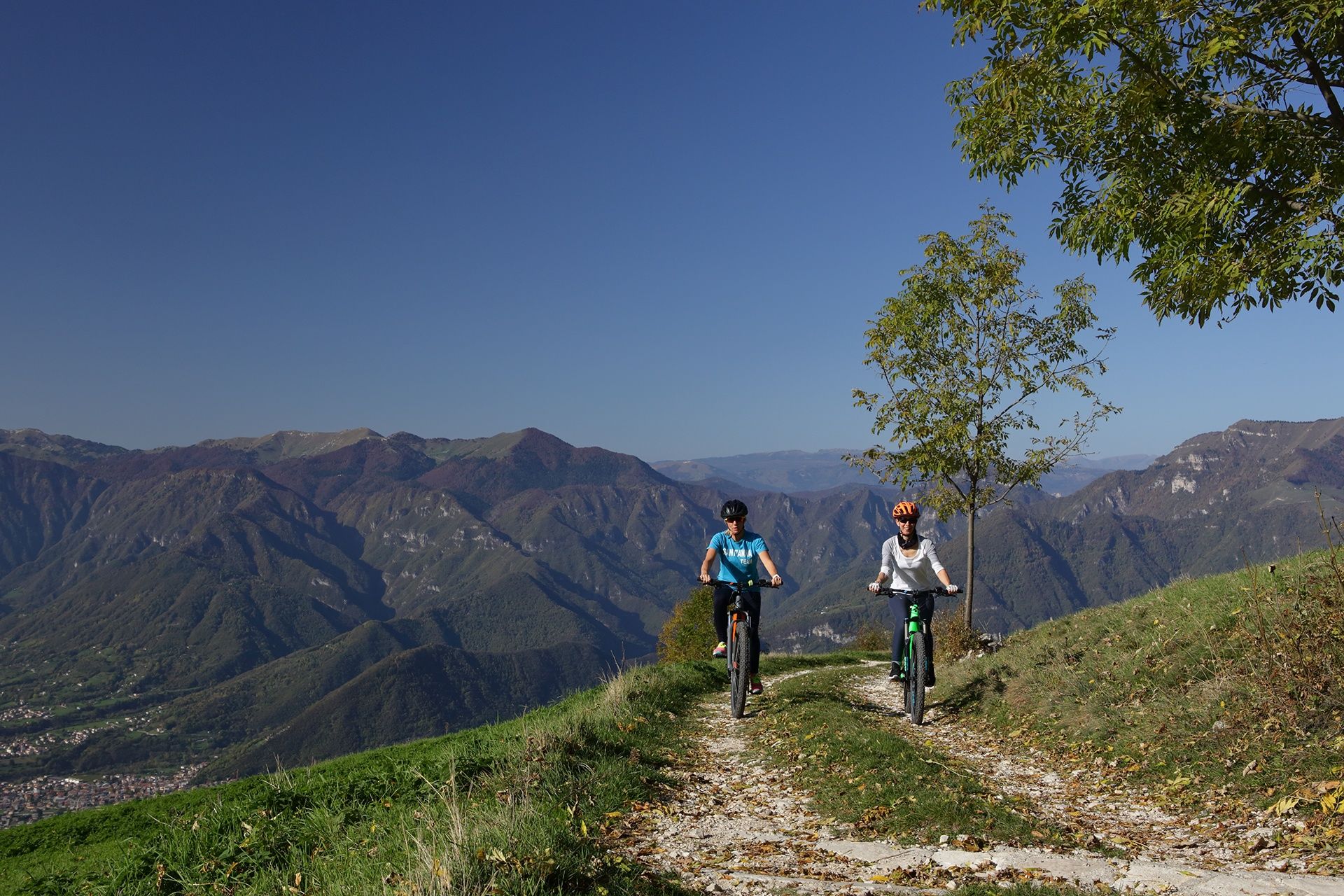
This itinerary develops around the Cesen massif and can be followed clockwise or counter-clockwise as it only involves dirt roads and wide paths offering suggestive views over the Piave valley. You will enjoy beautiful views which extend as far as the Lagoon of Venice, the Prosecco Hills, the Lakes in Revine, which reflect the valley and the peaks of Feltre, which stand out on the horizon.
- Vaikeus
-
tapa
- Arviointi
-
- Reitti
-
Pianezze di Valdobbiadene0,0 kmMalga Molvine Binot6,4 kmCol Miotto7,7 kmforcella di monte Zogo (1.272 m)10,8 kmMalga Mariech (1.501 m)18,2 kmPosa Puner (1.322 m)23,8 kmMaria Regina della Pace23,8 kmMalga Budui (1.218 m)25,3 kmPianezze di Valdobbiadene31,8 km
- Paras kausi
-
tammihelmimaalishuhtitoukokesäheinäelosyyslokamarrasjoulu
- Korkein kohta
- 1.499 m
- Kohde
-
Piazzale Donatori, Pianezze, Valdobbiadene, (TV)
- Korkeusprofiili
-
 © outdooractive.com
- Kirjoittaja
-
Kiertue Monte Cesen loop route on MTB käyttää outdooractive.com toimitettu.
GPS Downloads


Yleistä tietoa
Virvokepysäkki
Sisäpiirin vinkki
Flora
Fauna
Lupaava
Lisää retkiä alueilla
-
Treviso
9
-
Area Feltrino
38
-
Valdobbiadene
10