© Bregenzerwald Tourismus - Elisabeth Schneider

© Bregenzerwald Tourismus - Elisabeth Schneider

© Bregenzerwald Tourismus - Christoph Lingg

© Bregenzerwald Tourismus - Elisabeth Schneider

- Lyhyt kuvaus
-
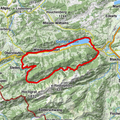
Difference in altitude: 1,330 m
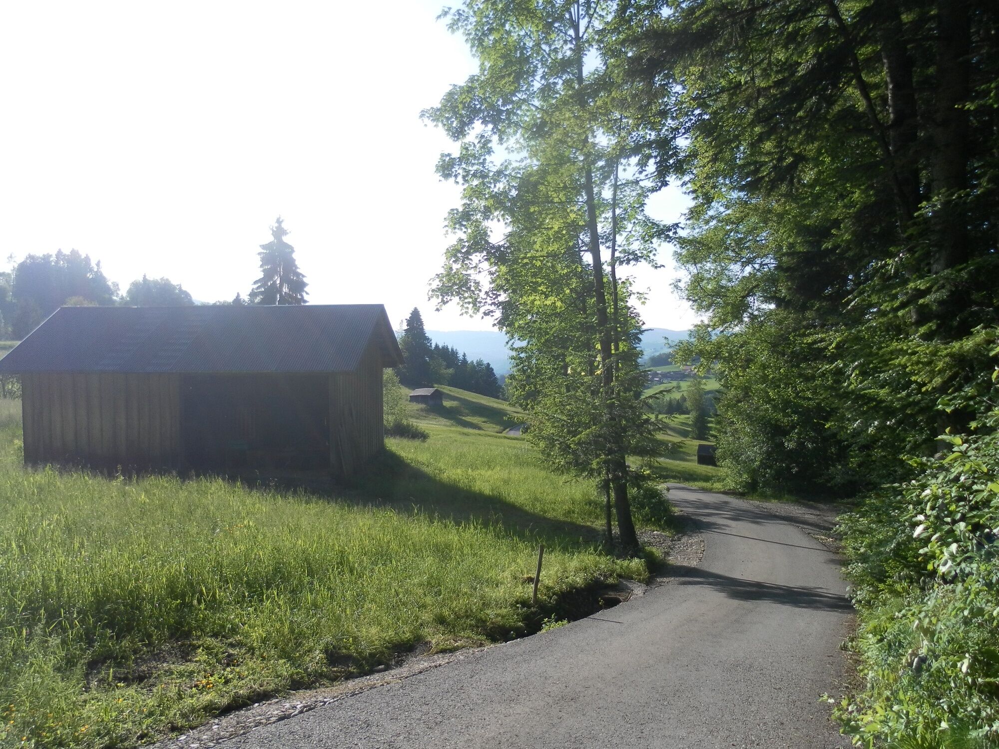
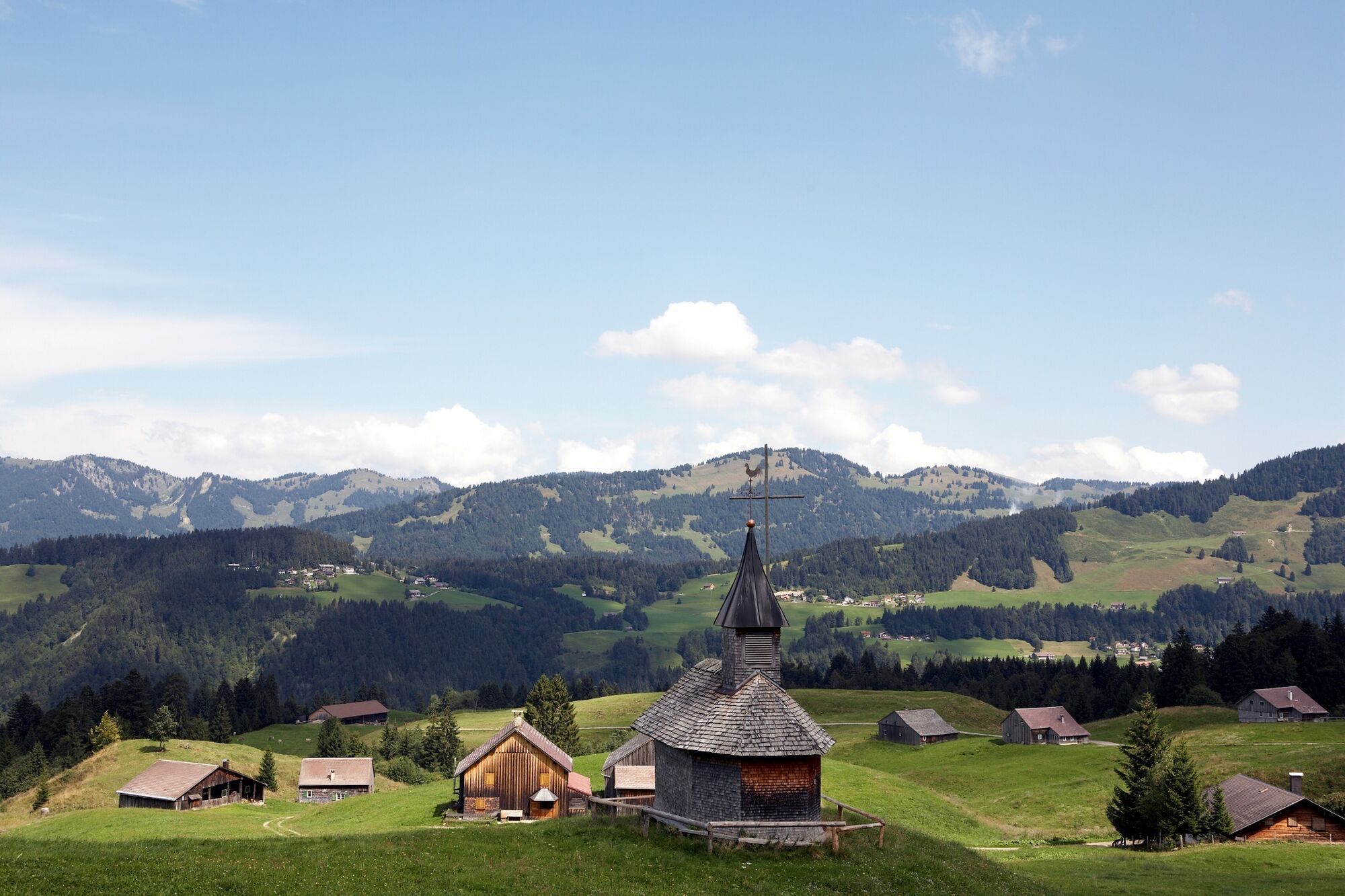
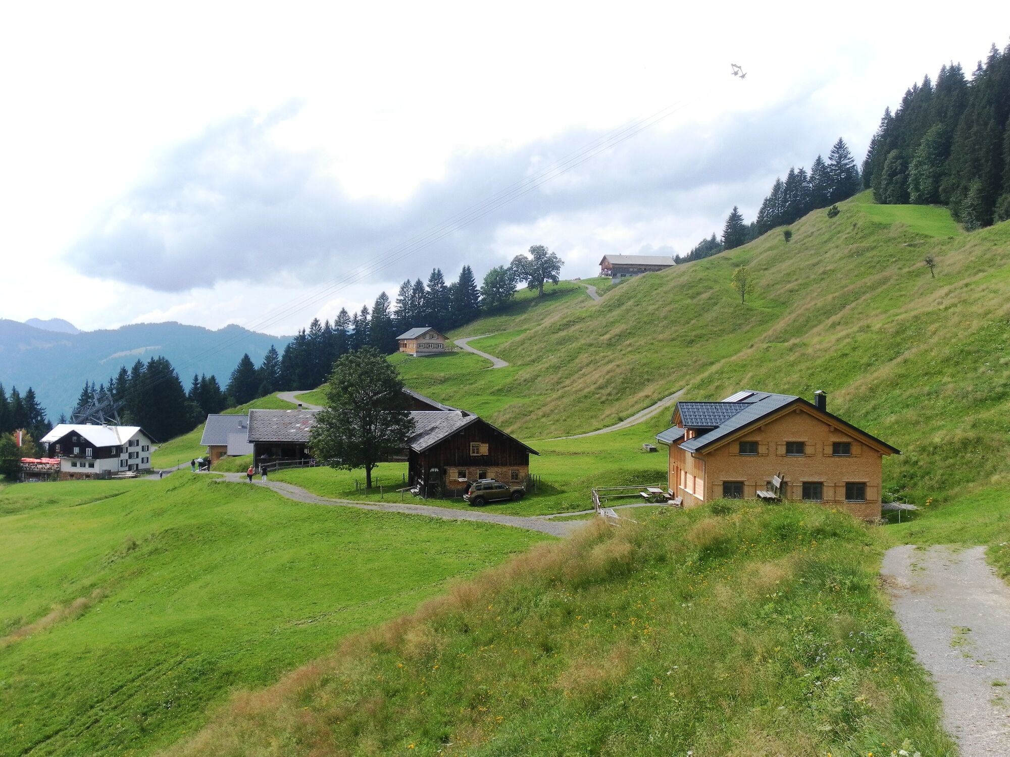
Andelsbuch - bicycle route to Egg-Rain - Ebenwald - Langeneggwald - Schetteregg - Eggatsbergvorsäß - Auenalpe - Helbockstobelalpe - Schreiberesattel - Wildmoosalpe - Sonderdach - Bezau - Bezegg - Andelsbuch
- Vaikeus
-
vaikea
- Arviointi
-
- Reitti
-
AndelsbuchPfarrkirche Andelsbuch0,1 kmWasserfälle Brühlbach1,0 kmEggatsbergvorsäß12,7 kmVorsäß Hammeratsberg13,1 kmVorsäß Rehenberg14,0 kmSchreiberesattel (1.526 m)23,5 kmSonderdach28,8 kmHalde31,8 kmSandriese32,2 kmObere32,2 kmBezau33,2 kmBrau33,6 kmBezegg (780 m)35,0 kmUnterbezegg37,1 kmAndelsbuch38,0 km
- Paras kausi
-
tammihelmimaalishuhtitoukokesäheinäelosyyslokamarrasjoulu
- Korkein kohta
- 1.531 m
- Kohde
-
Andelsbuch centre of town
- Korkeusprofiili
-


- Kirjoittaja
-
Kiertue Andelsbuch | Schetteregg - Schreiberesattel käyttää outdooractive.com toimitettu.
GPS Downloads


Yleistä tietoa
Virvokepysäkki
Kulttuuri/Historiallinen
Lupaava
Lisää retkiä alueilla
-
Bregenzerwald
234
-
Bizau
98