© Damüls - Faschina Tourismus - Matthias Greilach


- Lyhyt kuvaus
-
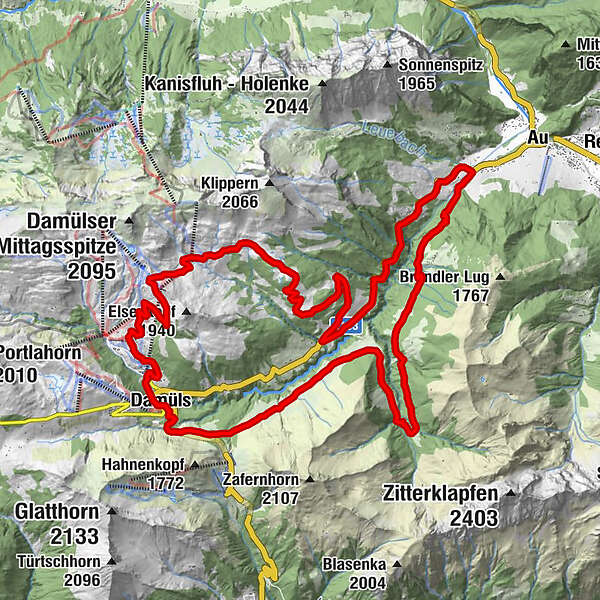
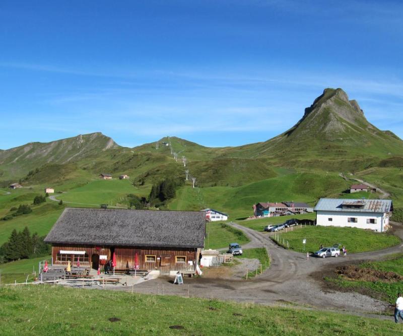
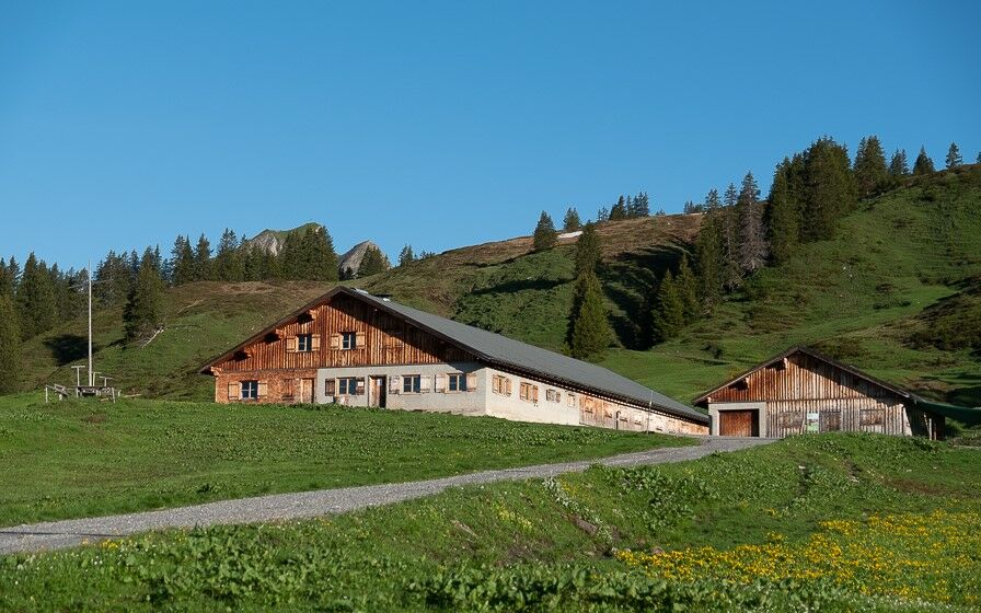
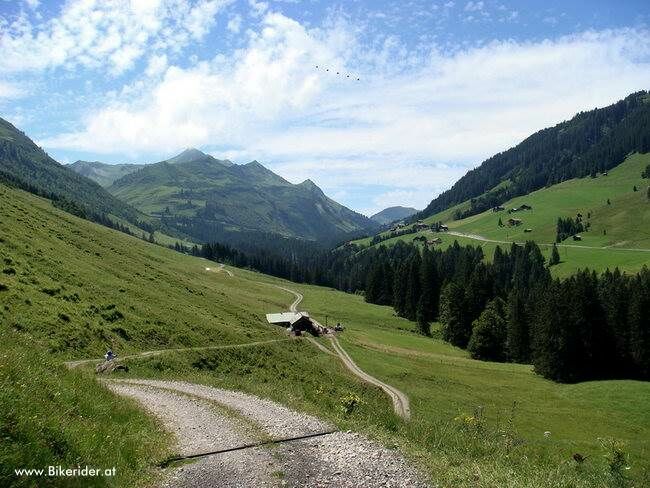
Talstation Uga-Express - Walisgaden - Alpe Uga - Mittelargenalpe - Argenwald - Argenschlucht - Bödmenalpe - Damüls
- Vaikeus
-
vaikea
- Arviointi
-
- Reitti
-
Pizzeria da Ingo0,1 kmVordere Ugaalpe4,1 kmHintere Bödmenalpe26,3 kmDamüls (1.423 m)29,0 km
- Paras kausi
-
tammihelmimaalishuhtitoukokesäheinäelosyyslokamarrasjoulu
- Korkein kohta
- 1.786 m
- Kohde
-
Damüls Uga Parkplatz
- Korkeusprofiili
-

-

-
KirjoittajaKiertue Damüls | Rundtour nach Au käyttää outdooractive.com toimitettu.
GPS Downloads


Yleistä tietoa
Virvokepysäkki
Lupaava
Lisää retkiä alueilla