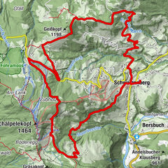
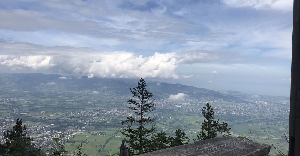
Dornbirn - Gütle-Spätenbachalpe --Schwarzenberg/(Hohenems) toller Blick ins Rheintal danach ins Ebnit und wieder nach Dornbirn retour

Mountainbike
Retkitiedot
47,8km
404
- 1.462m
1.361hm
1.357hm
03:44h

- Lyhyt kuvaus
-
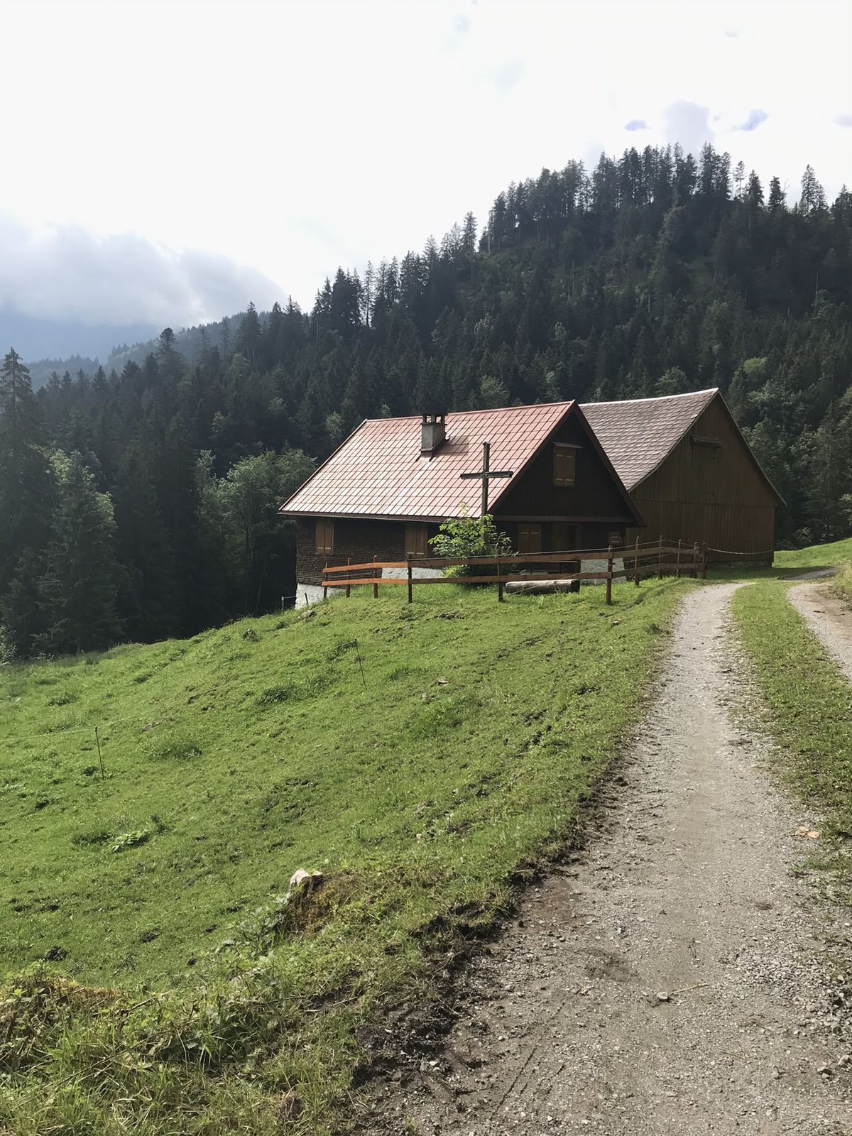
Am Anfang recht steil durchs Spätenbach ab Schutannen wird’s besser
- Vaikeus
-
tapa
- Arviointi
-
- Reitti
-
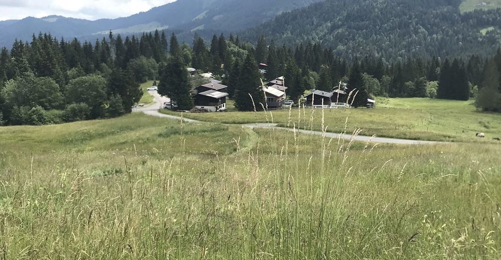
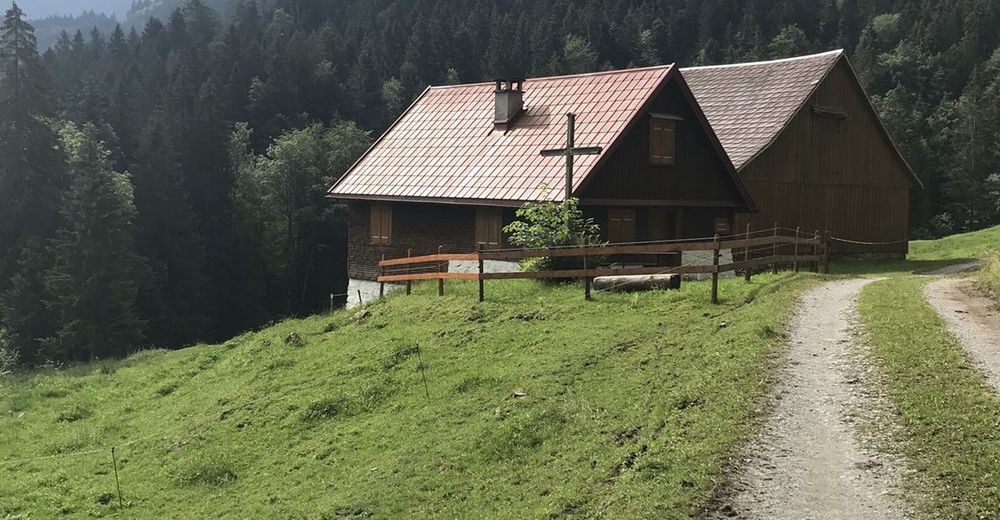
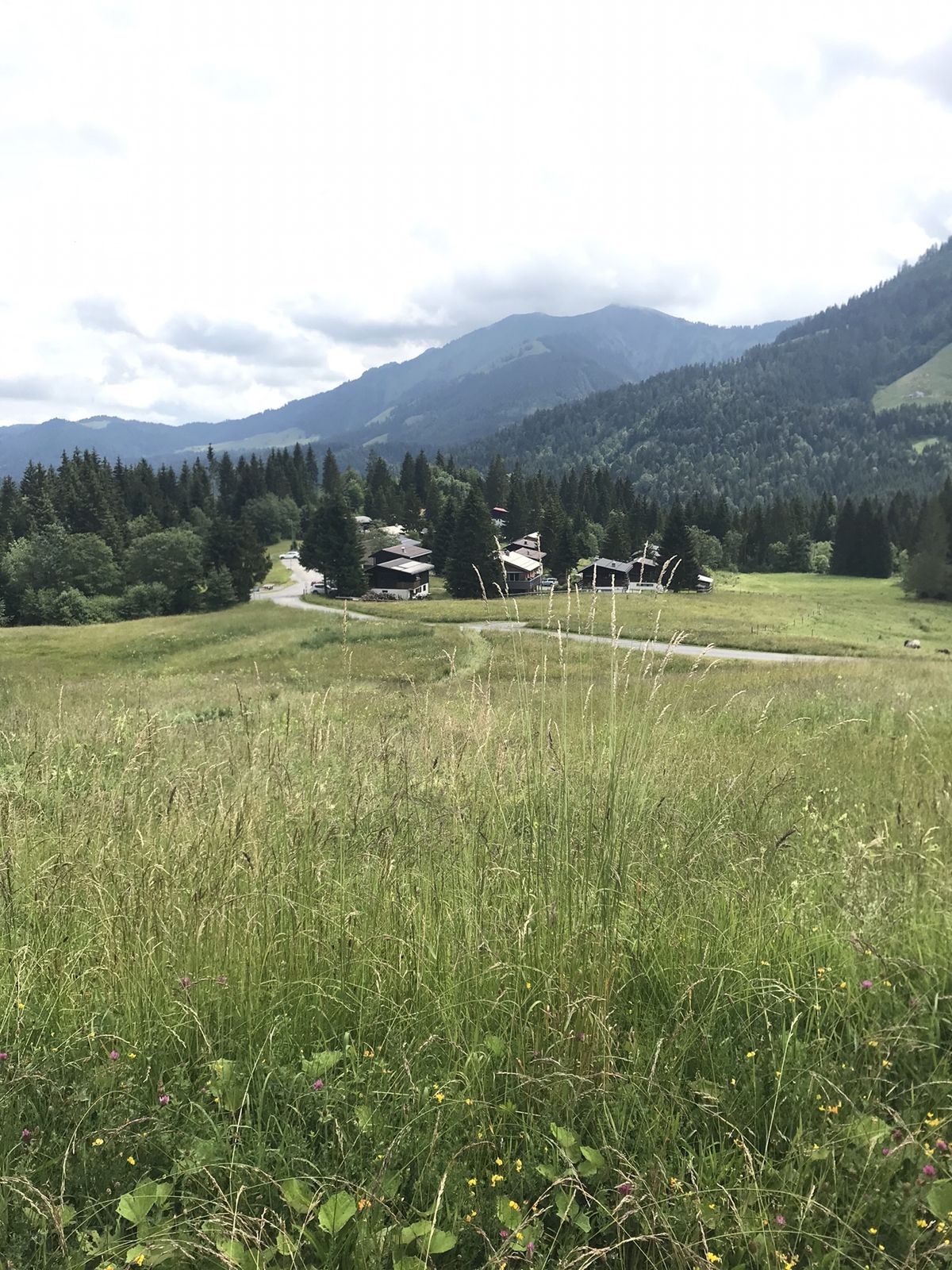
Lustenau (404 m)Schoren4,4 kmDornbirn (437 m)5,2 kmGütle8,7 kmIn der Alp10,3 kmSpätenbachalpe12,0 kmSchuttannen15,3 kmBerggasthaus Schuttannen15,3 kmSchwarzenberg (1.475 m)18,5 kmPfarrers Älpele24,4 kmEbnit (1.075 m)26,9 kmGasthof Gütle39,0 kmGütle39,2 kmDornbirn (437 m)42,7 kmLustenau (404 m)47,6 km
- Paras kausi
-
tammihelmimaalishuhtitoukokesäheinäelosyyslokamarrasjoulu
- Korkein kohta
- 1.462 m


GPS Downloads


Lisää retkiä alueilla
-
St. Gallen - Bodensee
154
-
Bodensee - Vorarlberg
126
-
Dornbirn
43