Retkitiedot
47,21km
397
- 461m
42hm
15hm
03:22h
- Lyhyt kuvaus
-
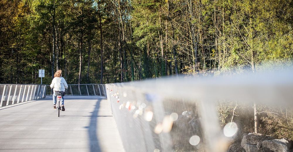
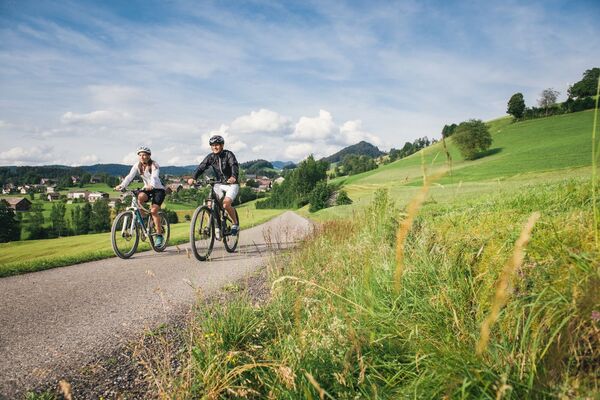
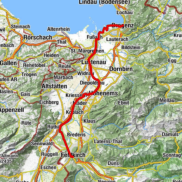
The Rheintal (Rhine Valley) cycle path leads from Bregenz to Feldkirch along the shores of Lake Constance and the River Rhine’s embankment.
- Vaikeus
-
helppo
- Arviointi
-
- Reitti
-
Bregenz (427 m)0,2 kmBregenz0,6 kmHard8,5 kmSt. Sebastian8,5 kmFußach11,5 kmAu (405 m)17,1 kmLustenau (404 m)18,2 kmAm Rohr21,1 kmHohenems (432 m)24,7 kmSB-Restaurant26,5 kmKoblach33,3 kmPicnic tables34,9 kmMatschelser Bergle (445 m)40,1 kmMargarethenkapelle46,2 kmHeilig Kreuz Kapelle46,6 kmLiebfrauenkirche46,9 kmFeldkirch47,1 km
- Paras kausi
-
tammihelmimaalishuhtitoukokesäheinäelosyyslokamarrasjoulu
- Korkein kohta
- 461 m
- Kohde
-
Stadtzentrum Feldkirch
- Korkeusprofiili
-
-

-
KirjoittajaKiertue Rhine valley cycle path käyttää outdooractive.com toimitettu.
GPS Downloads
Lisää retkiä alueilla
-
St. Gallen - Bodensee
289
-
St. Galler Rheintal
100
-
Diepoldsau
29

