© Bregenzerwald Tourismus - Sebastian Siphout

© Bregenzerwald Tourismus - Alex Kaiser

© Bregenzerwald Tourismus - Oostenrijk TV

- Lyhyt kuvaus
-
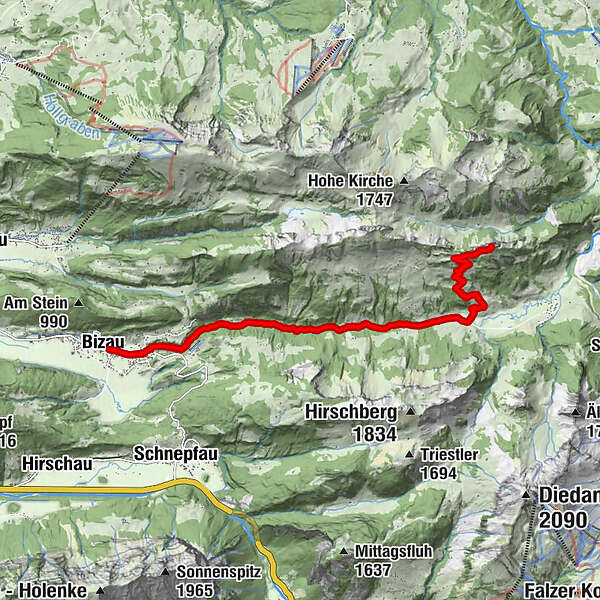
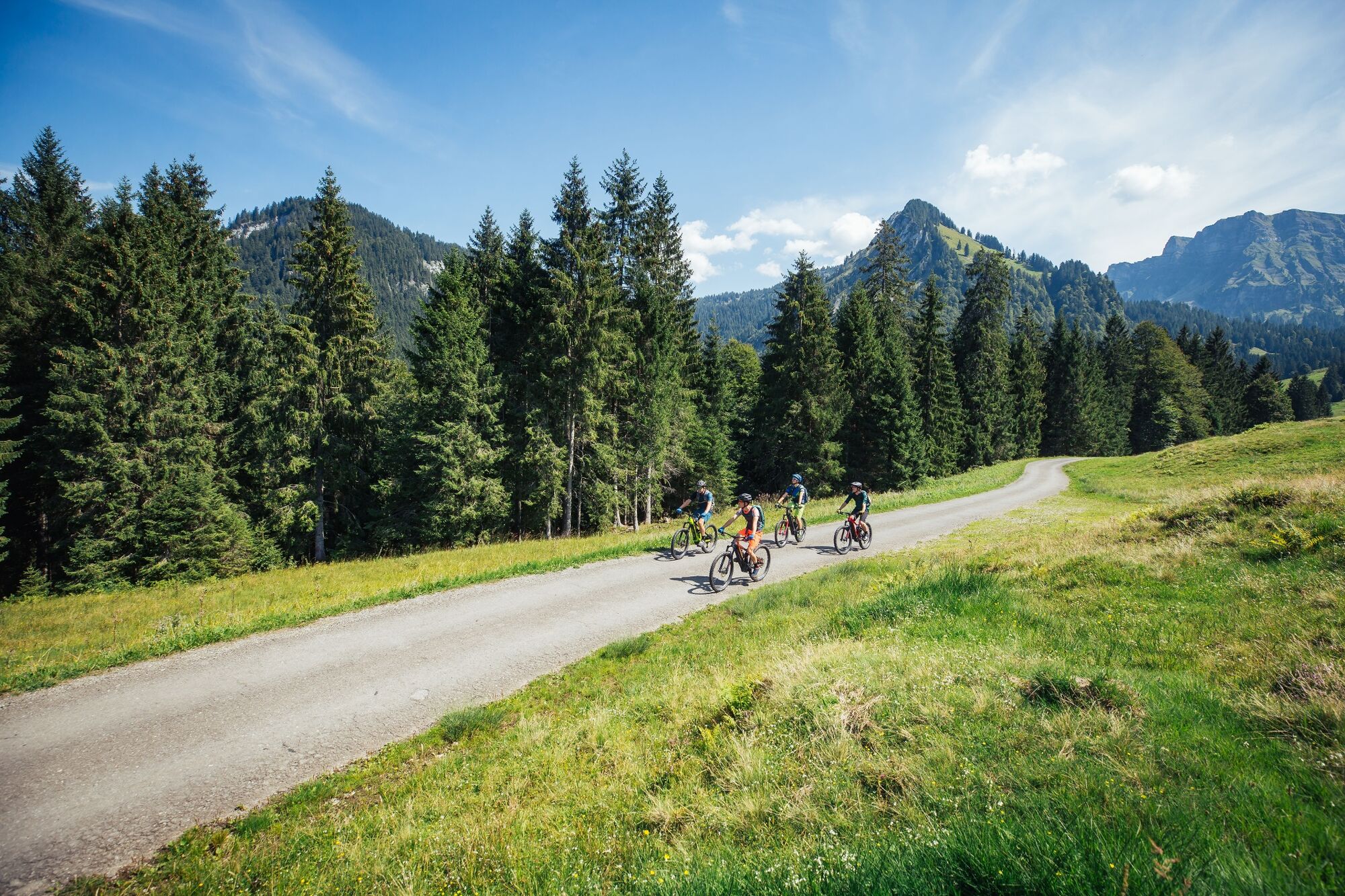
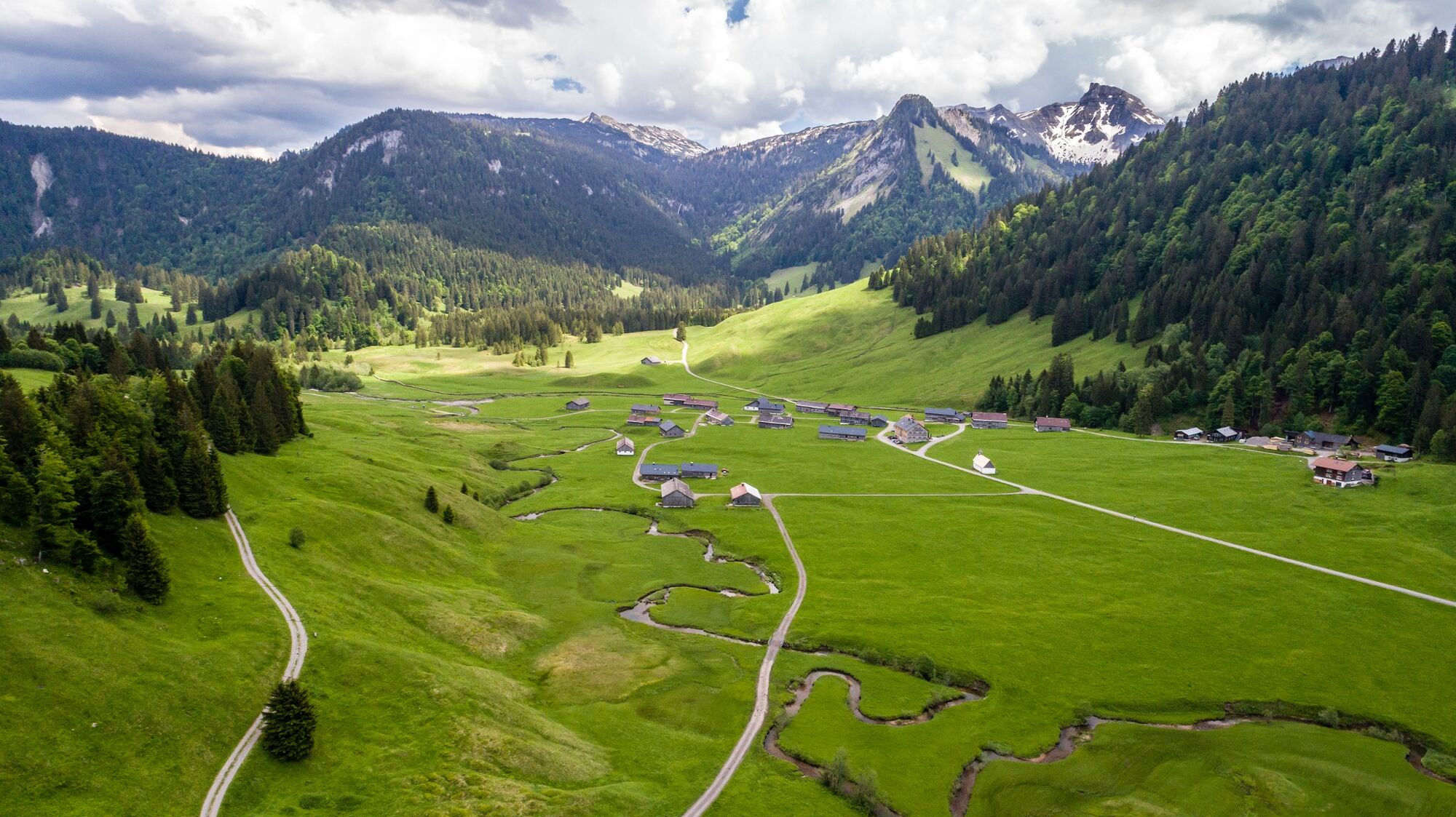
Biketour nach Schönenbach bis nach Hinteregg und von dort zu Fuß auf die Sienspitze.
- Reitti
-
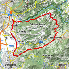
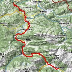
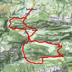
BizauHilkat0,9 kmAlpe Rüschere6,2 kmSienspitze (1.600 m)10,0 kmAlpe Rüschere13,6 kmHilkat18,9 kmBizau19,9 km
- Paras kausi
-
tammihelmimaalishuhtitoukokesäheinäelosyyslokamarrasjoulu
- Korkein kohta
- 1.585 m
- Kohde
-
Bizau Dorfplatz
- Korkeusprofiili
-


- Kirjoittaja
-
Kiertue Bike & Hike | Auf die Sienspitze käyttää outdooractive.com toimitettu.
GPS Downloads


Lisää retkiä alueilla
-
Bregenzerwald
126
-
Schnepfau
34