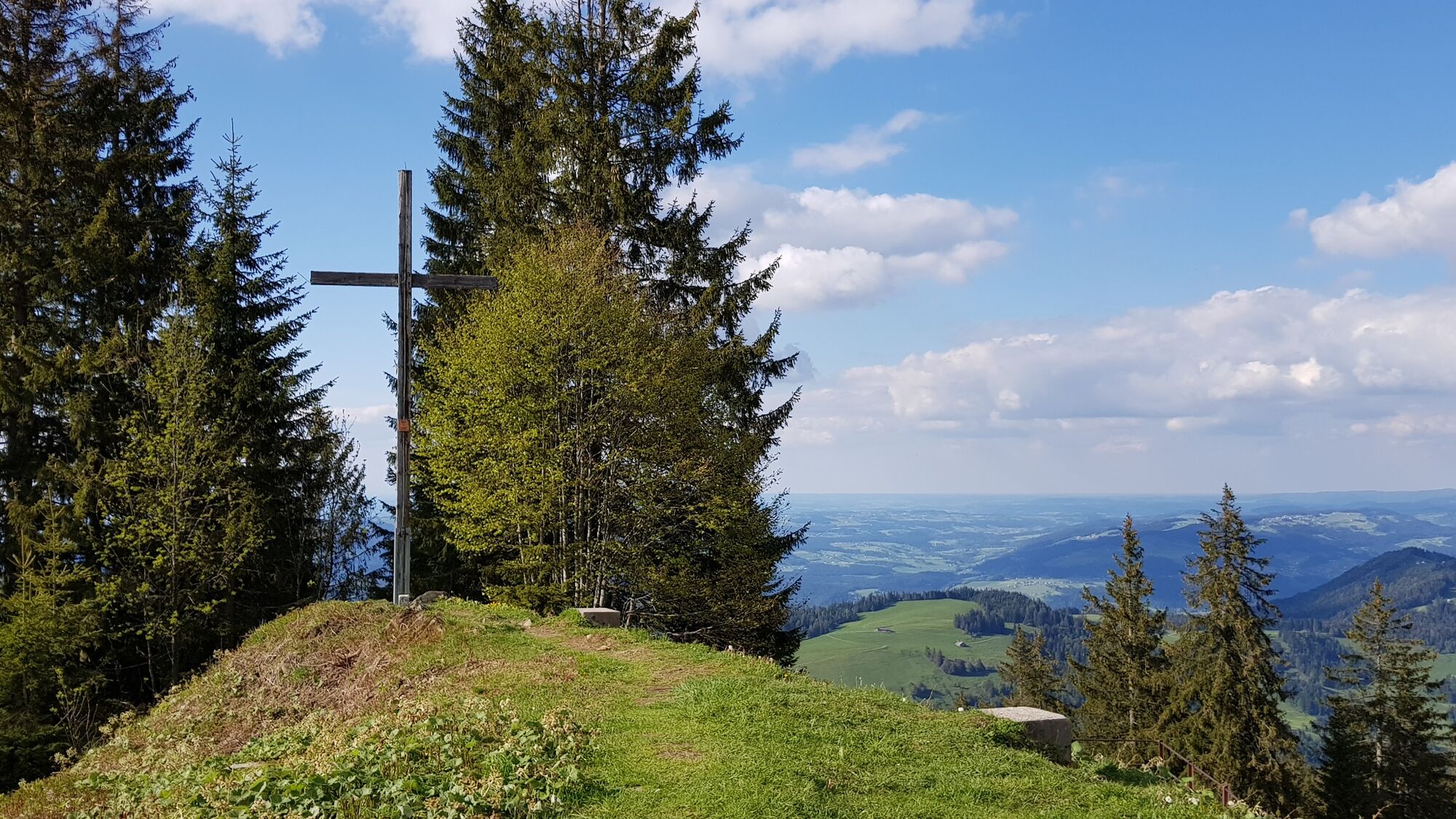
© Schwarzenberg Tourismus - Christine Kleber

© Bregenzerwald Tourismus - Johannes Fink

© Bregenzerwald Tourismus - Elisabeth Schneider

© Bregenzerwald Tourismus - Johannes Fink

- Lyhyt kuvaus
-
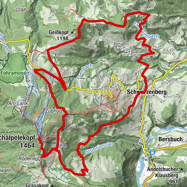
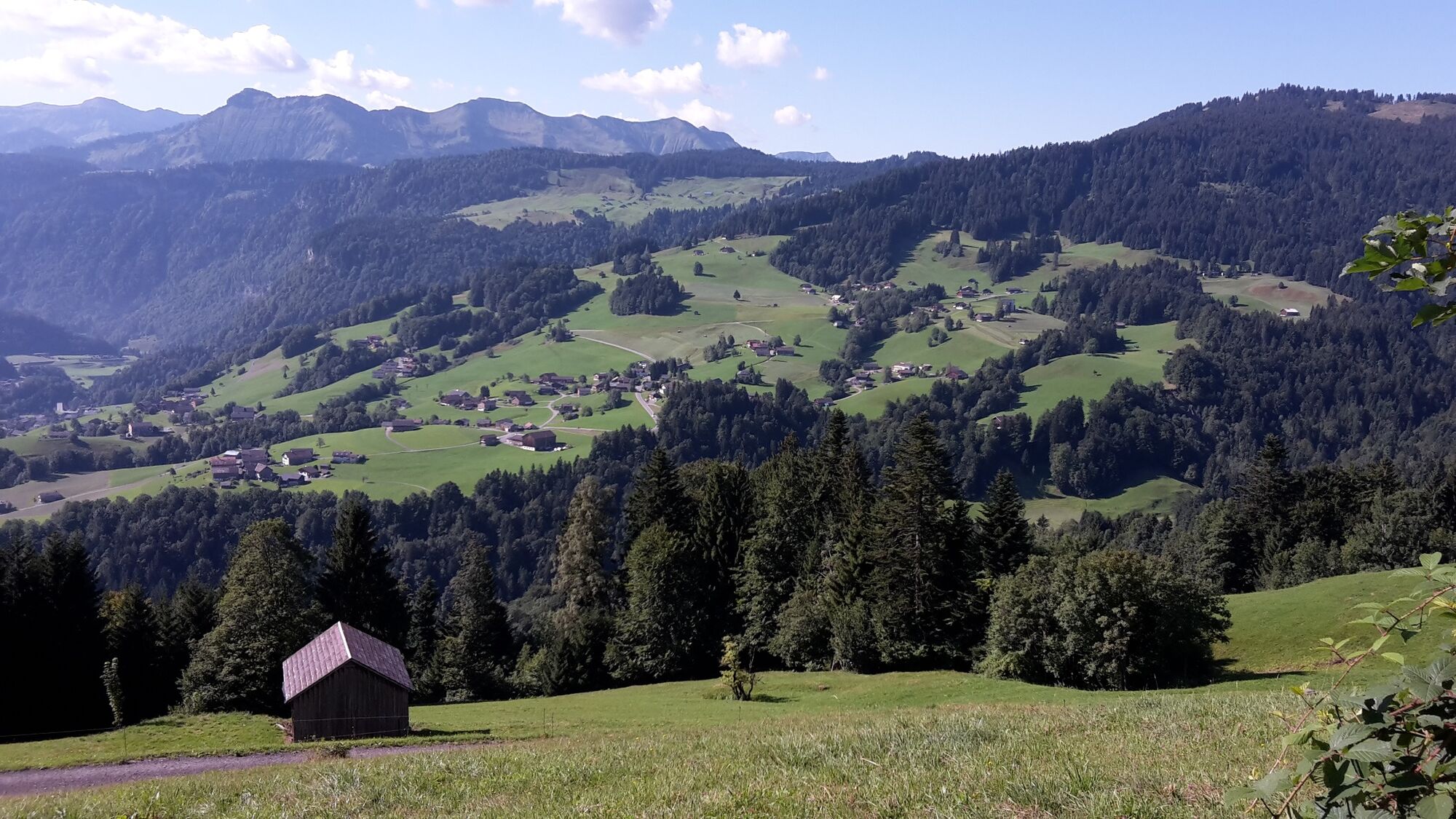
Schöne und aussichtsreiche Tour von Schwarzenberg auf das Bödele.
- Reitti
-
Adler0,0 kmSchwarzenberg (696 m)0,0 kmHotel Gasthof Hirschen Schwarzenberg0,0 kmVorsäß Klausberg3,7 kmLustenauer Hütte4,5 kmÄlpele5,4 kmHochälpelehütte6,6 kmHochälpelekopf (1.464 m)6,6 kmBödele10,8 kmWeißtanne11,4 kmEixer12,4 kmJakob Bader Maurer Kapelle (1657)18,3 kmKapelle Hl. Theresia18,6 kmSchwarzenberg (696 m)20,6 km
- Paras kausi
-
tammihelmimaalishuhtitoukokesäheinäelosyyslokamarrasjoulu
- Korkein kohta
- 1.458 m
- Korkeusprofiili
-

- Kirjoittaja
-
Kiertue Bike & Hike | Auf das Hochälpele Bödele käyttää outdooractive.com toimitettu.
GPS Downloads


Yleistä tietoa
Lupaava
Lisää retkiä alueilla