© Thomas de Boever - Niclas Bösch

© Montafon - Christina Wachter

- Lyhyt kuvaus
-
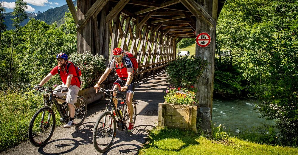
Diese gemütliche E-Bike Tour durch den herbstlichen Mischwald entlang der Ill bietet sich ideal für alle Biker an, die es lieber langsam angehen und nicht so hoch hinaus wollen.
- Vaikeus
-
helppo
- Arviointi
-
- Reitti
-
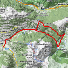
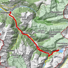
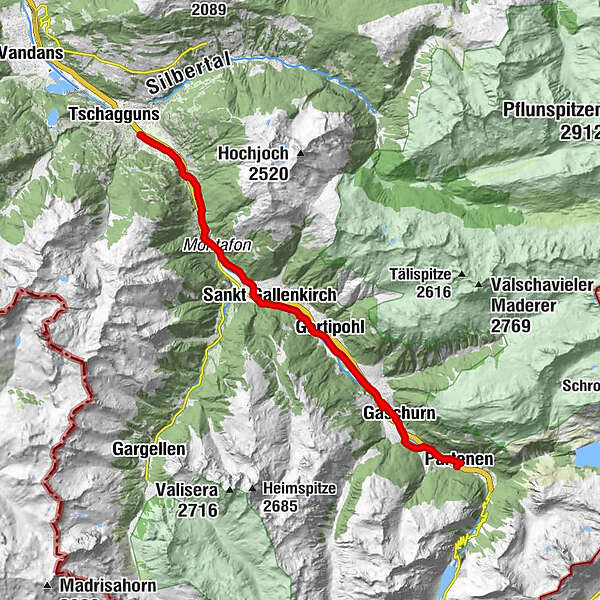
Stiefen2,4 kmHof4,6 kmGortniel5,1 kmBadmunt6,2 kmGalgenul7,3 kmSt. Gallenkirch8,3 kmGarfrescha I (872 m)9,6 kmGortipohl10,7 kmBeacheria12,7 kmPfarrkirche St. Micheal14,3 kmGaschurn14,9 kmPartenen (1.051 m)18,0 kmÖffentlicher Spielplatz18,2 kmGaschurn22,2 kmPfarrkirche St. Micheal22,8 kmBeacheria24,2 kmGortipohl26,3 kmGarfrescha I (872 m)27,5 kmSt. Gallenkirch28,8 kmGalgenul29,6 kmBadmunt30,8 kmGortniel32,0 kmHof32,4 kmStiefen34,5 km
- Paras kausi
-
tammihelmimaalishuhtitoukokesäheinäelosyyslokamarrasjoulu
- Korkein kohta
- 1.044 m
- Kohde
-
Aktivpark Montafon, Schruns-Tschagguns
- Korkeusprofiili
-


-

-
KirjoittajaKiertue Bade Tour - E-Bike käyttää outdooractive.com toimitettu.
GPS Downloads


Yleistä tietoa
Virvokepysäkki
Lisää retkiä alueilla