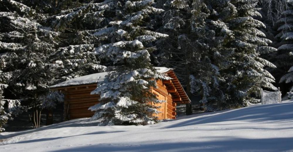
© Jürgen Zudrell vom Panoramagasthof Kristberg - Panoramagasthof Kristberg GmbH & Co KG
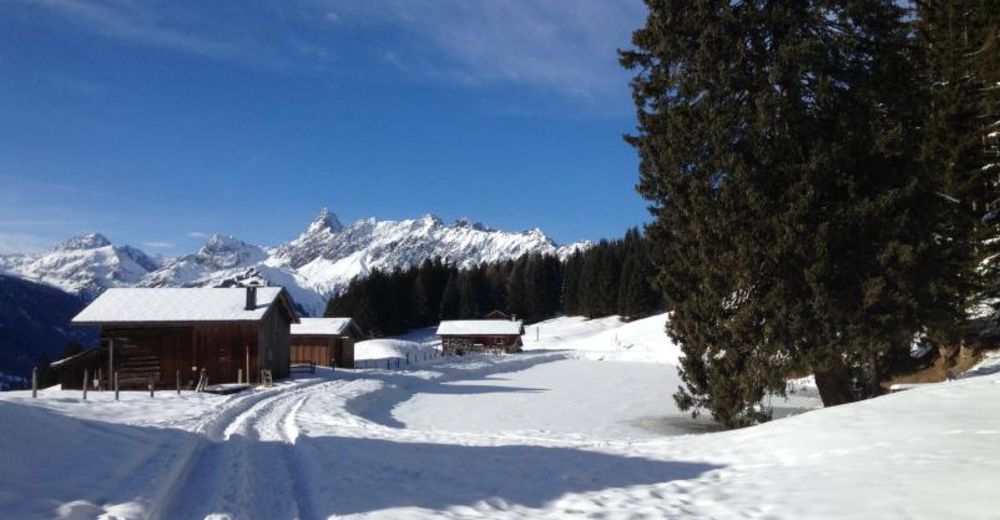
© Jürgen Zudrell vom Panoramagasthof Kristberg - Panoramagasthof Kristberg GmbH & Co KG
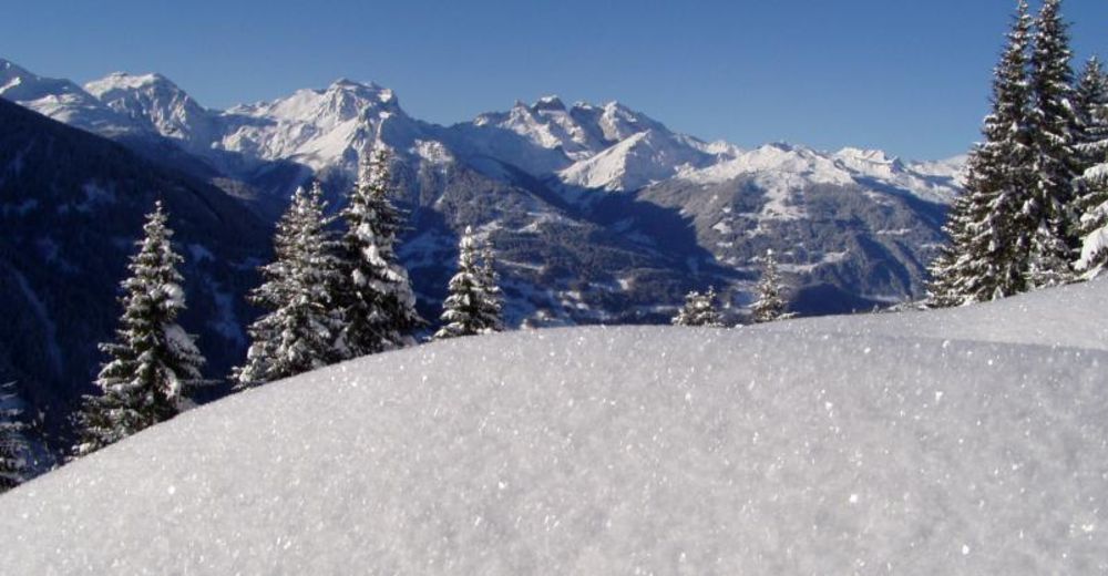
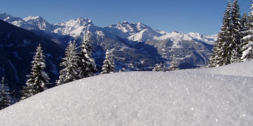
© Julia Mangeng von der Montafon Tourismus GmbH - Panoramagasthof Kristberg GmbH & Co KG
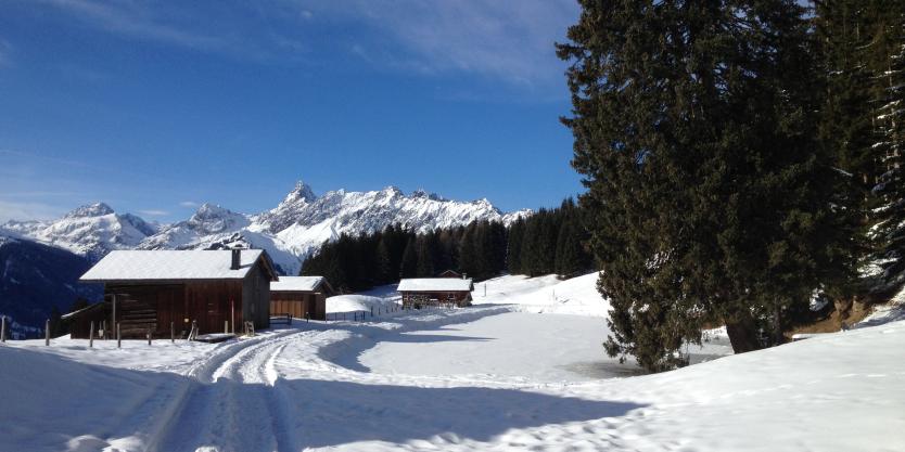
© Julia Mangeng von der Montafon Tourismus GmbH - Panoramagasthof Kristberg GmbH & Co KG
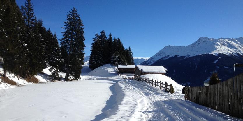
© Montafon Tourismus - Panoramagasthof Kristberg GmbH & Co KG
Retkitiedot
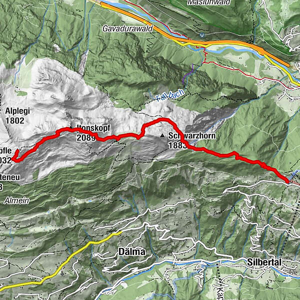
6,48km
1.442
- 2.038m
676hm
129hm
04:00h
- Lyhyt kuvaus
-
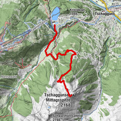
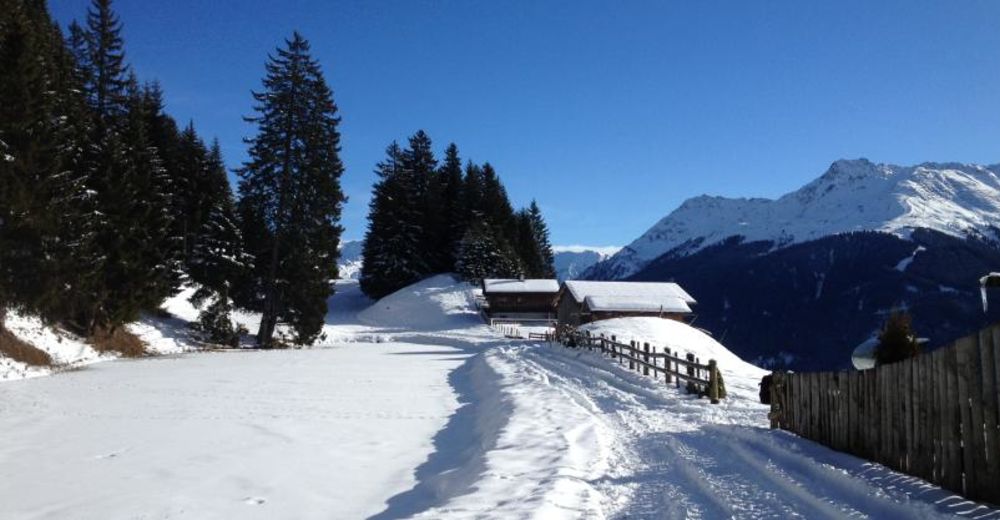
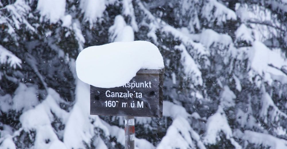
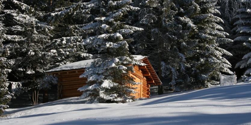
Bergstation der Montafoner Kristbergbahn - Kristbergsattel - Ganzaleita - Falla - Schwarzhorn - Obere Wiese - Itonskopf (Wannaköpfle)
- Vaikeus
-
tapa
- Arviointi
-
- Reitti
-
Panoramagasthof Kristberg (1.443 m)Knappenkirche St. Agatha0,0 kmInnerkristberg0,1 kmFalle (1703m) (1.686 m)2,2 kmItonskopf (2.089 m)5,0 kmWannaköpfle (2.032 m)6,4 km
- Paras kausi
-
elosyyslokamarrasjoulutammihelmimaalishuhtitoukokesäheinä
- Korkein kohta
- 2.038 m
- Kohde
-
Bartholomäberg
- Exposition
- Korkeusprofiili
-


-
-
KirjoittajaKiertue Kristberg - Itonskopf (2.089m) oder Wannaköpfle (2.032m) käyttää outdooractive.com toimitettu.