- Lyhyt kuvaus
-
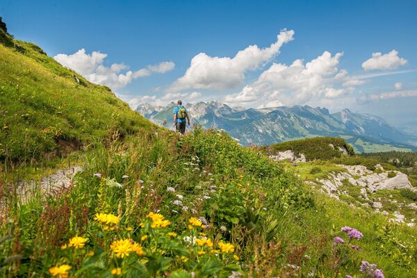
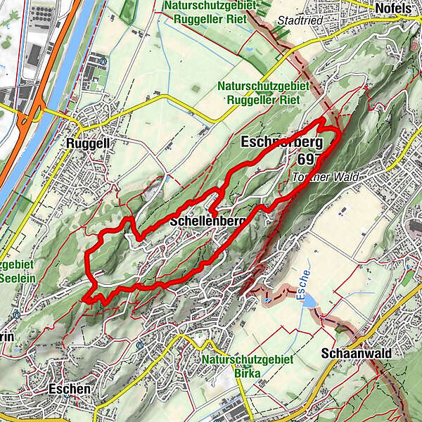
Created between 1972 and 1975, this trail leads walkers along both sides of the mountain ridge in Eschnerberg and past several sites of archaeological and historical interest.
- Vaikeus
-
helppo
- Arviointi
-
- Reitti
-
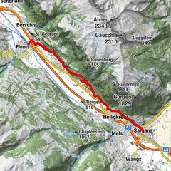
Schellenberg (626 m)Schellenberg (626 m)6,2 kmGasthaus Weinlaube6,9 kmHinterer Gantenstein (695 m)7,8 kmEschnerberg (697 m)8,2 kmFeldkirch8,3 kmWirtschaft zum Löwen8,9 kmHinterschellenberg9,1 kmSankt Georg9,3 kmSchellenberg (626 m)10,7 km
- Paras kausi
-
tammihelmimaalishuhtitoukokesäheinäelosyyslokamarrasjoulu
- Korkein kohta
- 692 m
- Kohde
-
Schellenberg
- Korkeusprofiili
-
 © outdooractive.com


-

-
KirjoittajaKiertue Historical Eschnerberg Trail käyttää outdooractive.com toimitettu.
GPS Downloads


Yleistä tietoa
Kulttuuri/Historiallinen
Lupaava
Lisää retkiä alueilla
-
Appenzellerland
1956
-
Liechtenstein
1289
-
Schellenberg
297