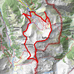
© Alpenregion Bludenz Tourismus GmbH - Melanie Fleisch

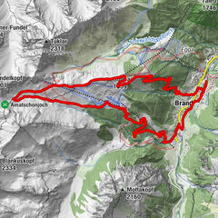
© Alpenregion Bludenz Tourismus GmbH - Melanie Fleisch
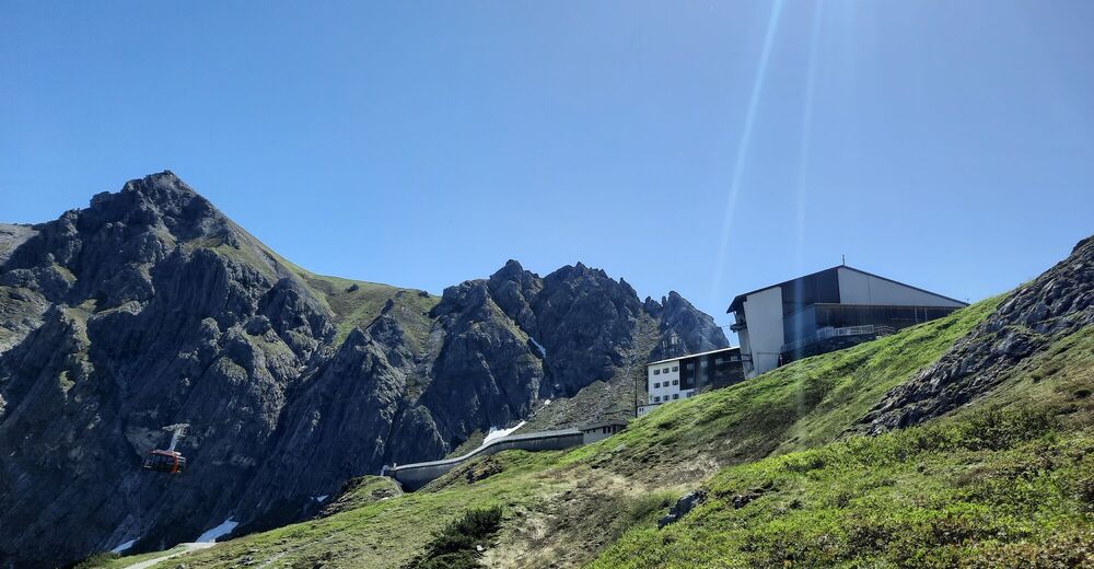
© Alpenregion Bludenz Tourismus GmbH - Melanie Fleisch
- Lyhyt kuvaus
-
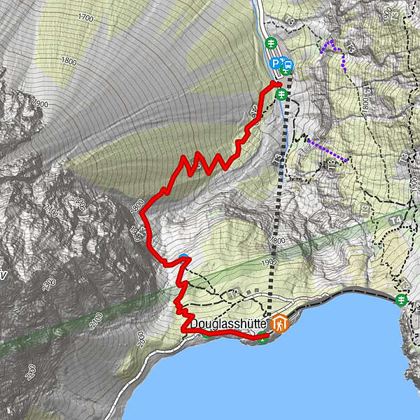
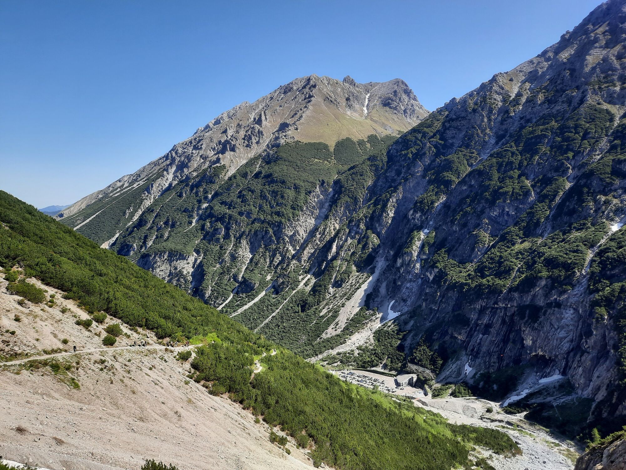
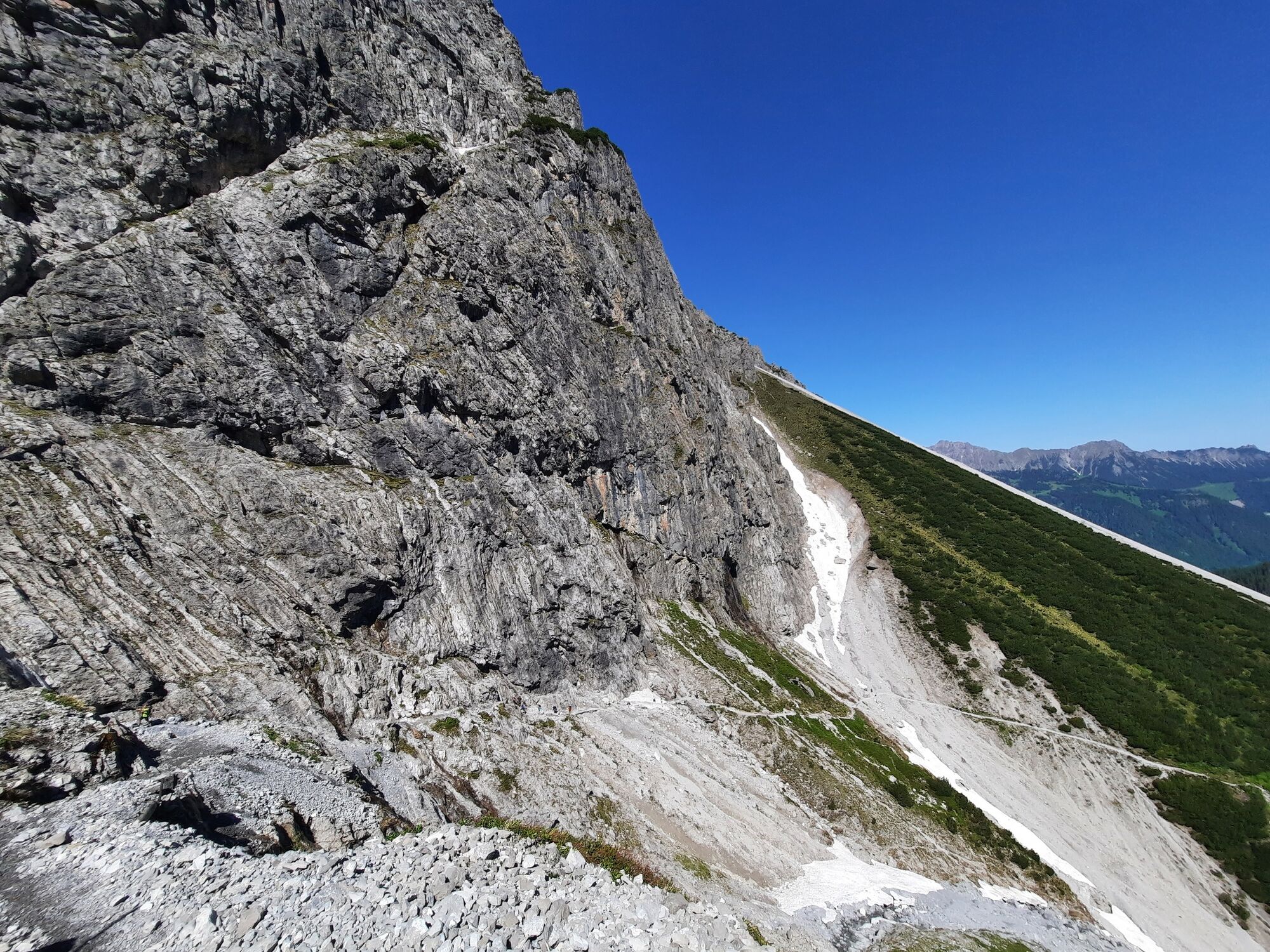
A sure footing is a prerequisite here! A rude awakening for the legs - that's the result after this 400 metre ascent to the Lünersee.
- Vaikeus
-
tapa
- Arviointi
-
- Paras kausi
-
tammihelmimaalishuhtitoukokesäheinäelosyyslokamarrasjoulu
- Korkein kohta
- 1.978 m
- Kohde
-
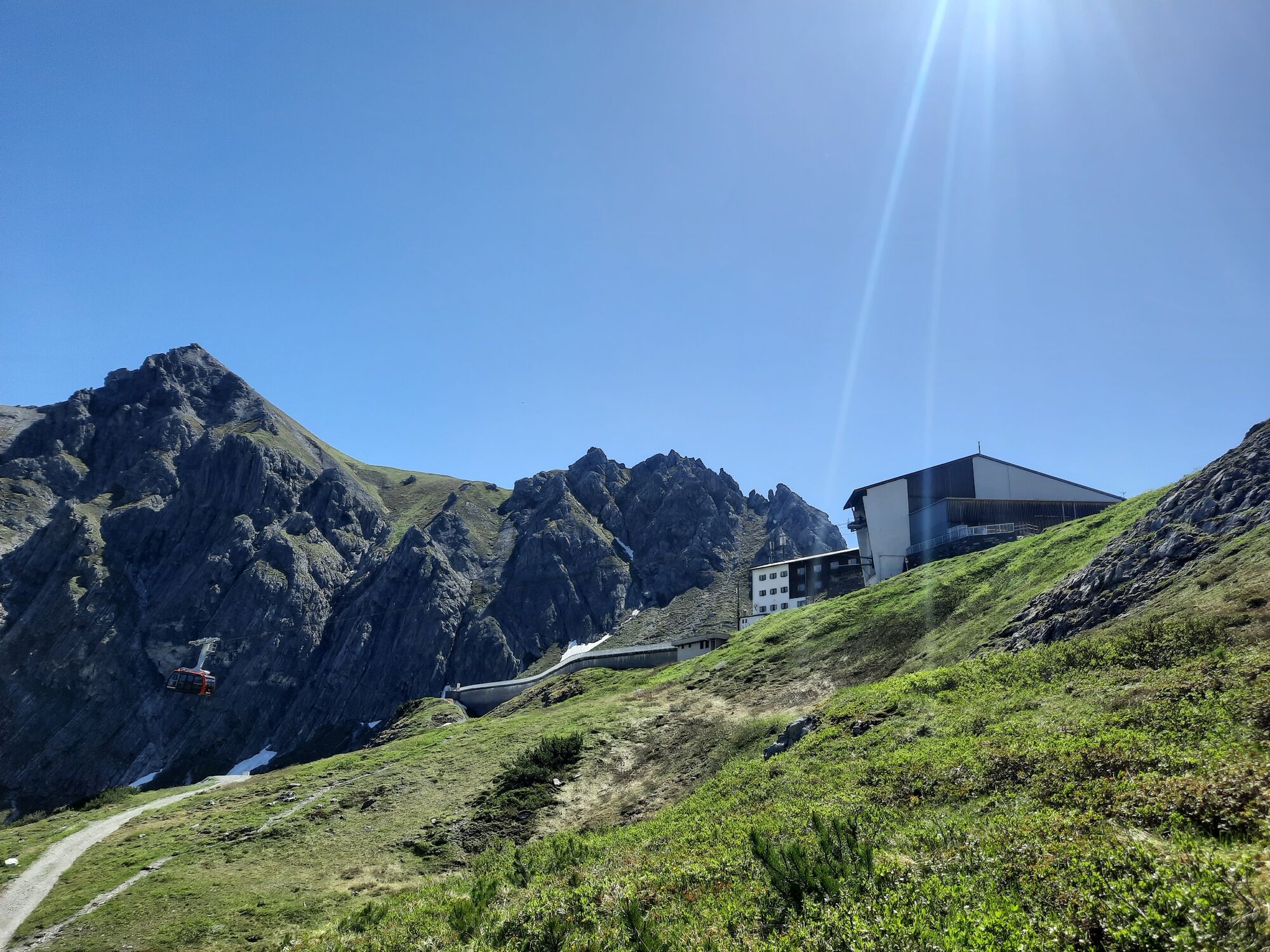
Mountain station of the Lünersee cable car
- Korkeusprofiili
-

- Kirjoittaja
-
Kiertue Böser Tritt Trail Run | Brand käyttää outdooractive.com toimitettu.
GPS Downloads


Lisää retkiä alueilla
-
Heidiland
104
-
Brandnertal
66
-
Brand
25