

© Bregenzerwald Tourismus - Michael Meusburger

© KäseStrasse Bregenzerwald - Ludwig Berchtold

© KäseStrasse Bregenzerwald - Ludwig Berchtold


- Lyhyt kuvaus
-
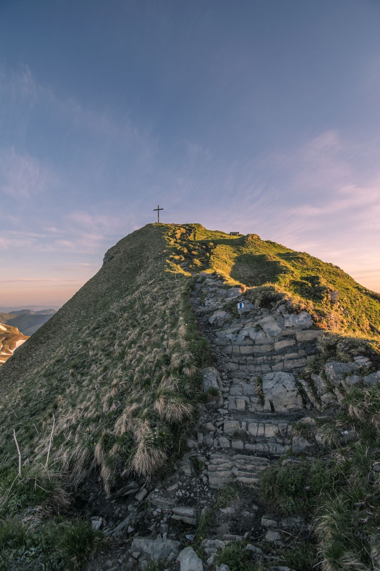
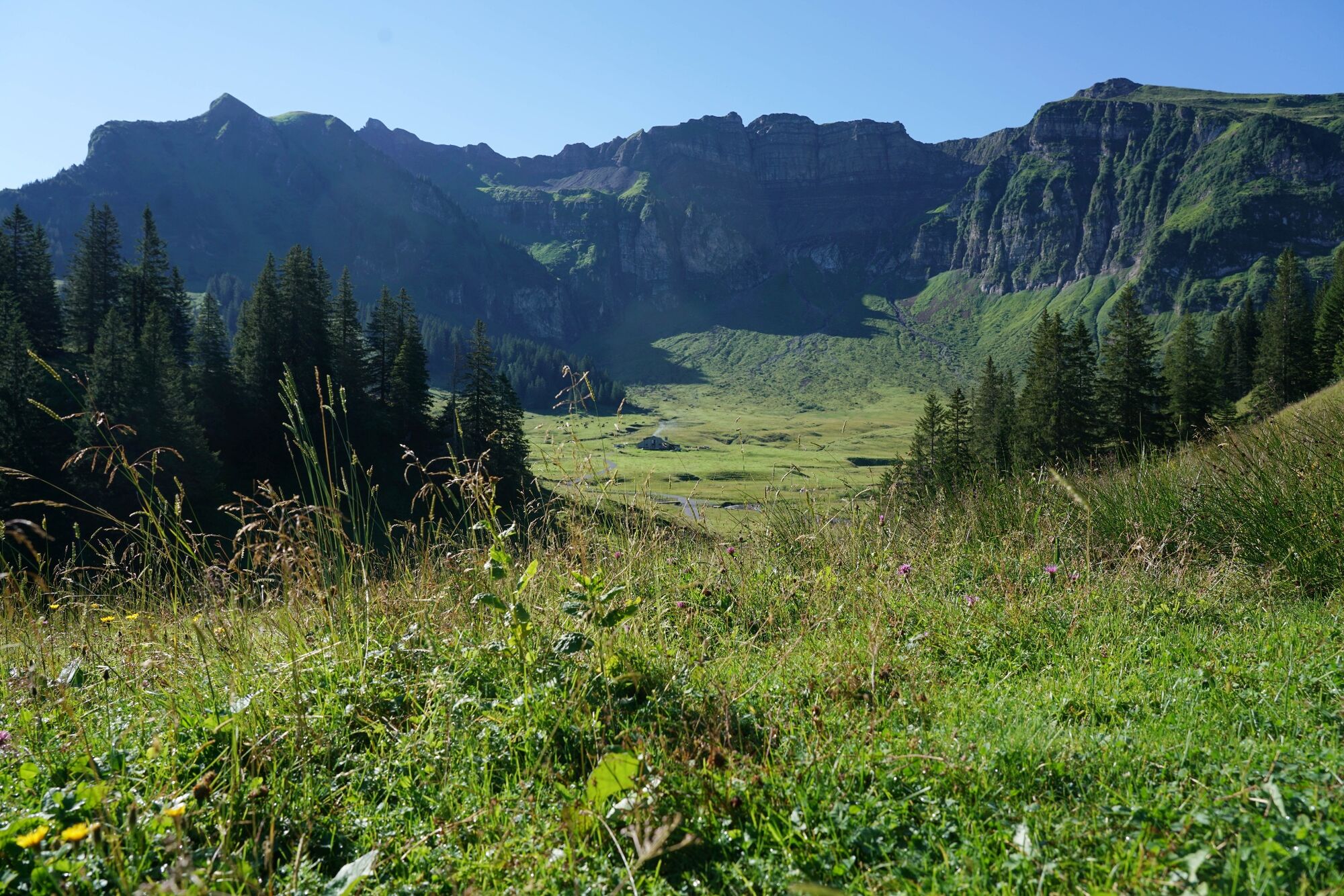
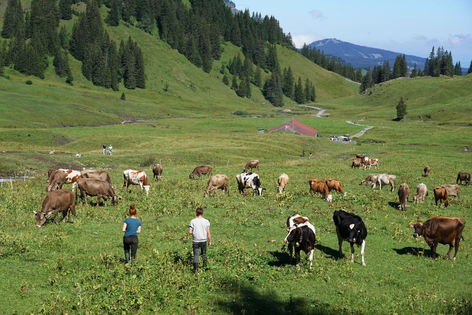
Roßstelle Bergstation – Kanisalpe – Alpe Wannen – Überschreitung der Kammhöhe - Mittagspitze - Alpe Uga - Uga Bahn - Bus Richtung Mellau
- Vaikeus
-
vaikea
- Arviointi
-
- Reitti
-
Jausenstation Kanisalpe1,5 kmAlpe Uga6,8 kmUga Alp6,9 kmVordere Ugaalpe7,1 km
- Paras kausi
-
tammihelmimaalishuhtitoukokesäheinäelosyyslokamarrasjoulu
- Korkein kohta
- 2.021 m
- Kohde
-
Ortszentrum Mellau
- Korkeusprofiili
-

- Kirjoittaja
-
Kiertue Mellau | Damülser Mittagspitze (Abstieg über Alpe Uga) käyttää outdooractive.com toimitettu.
GPS Downloads


Yleistä tietoa
Virvokepysäkki
Lupaava
Lisää retkiä alueilla
-
St. Gallen - Bodensee
2067
-
Biosphärenpark Großes Walsertal
2011
-
Mellau
639


