
© Lech Zürs Tourismus GmbH - Lech Zuers Tourismus GmbH


- Lyhyt kuvaus
-
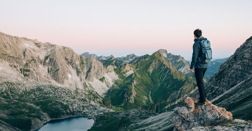
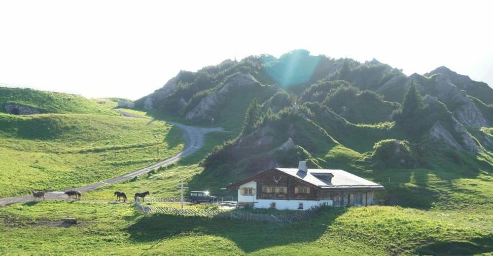
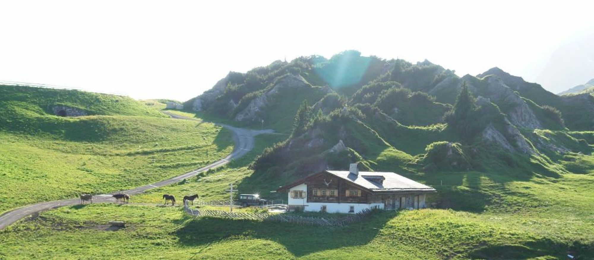
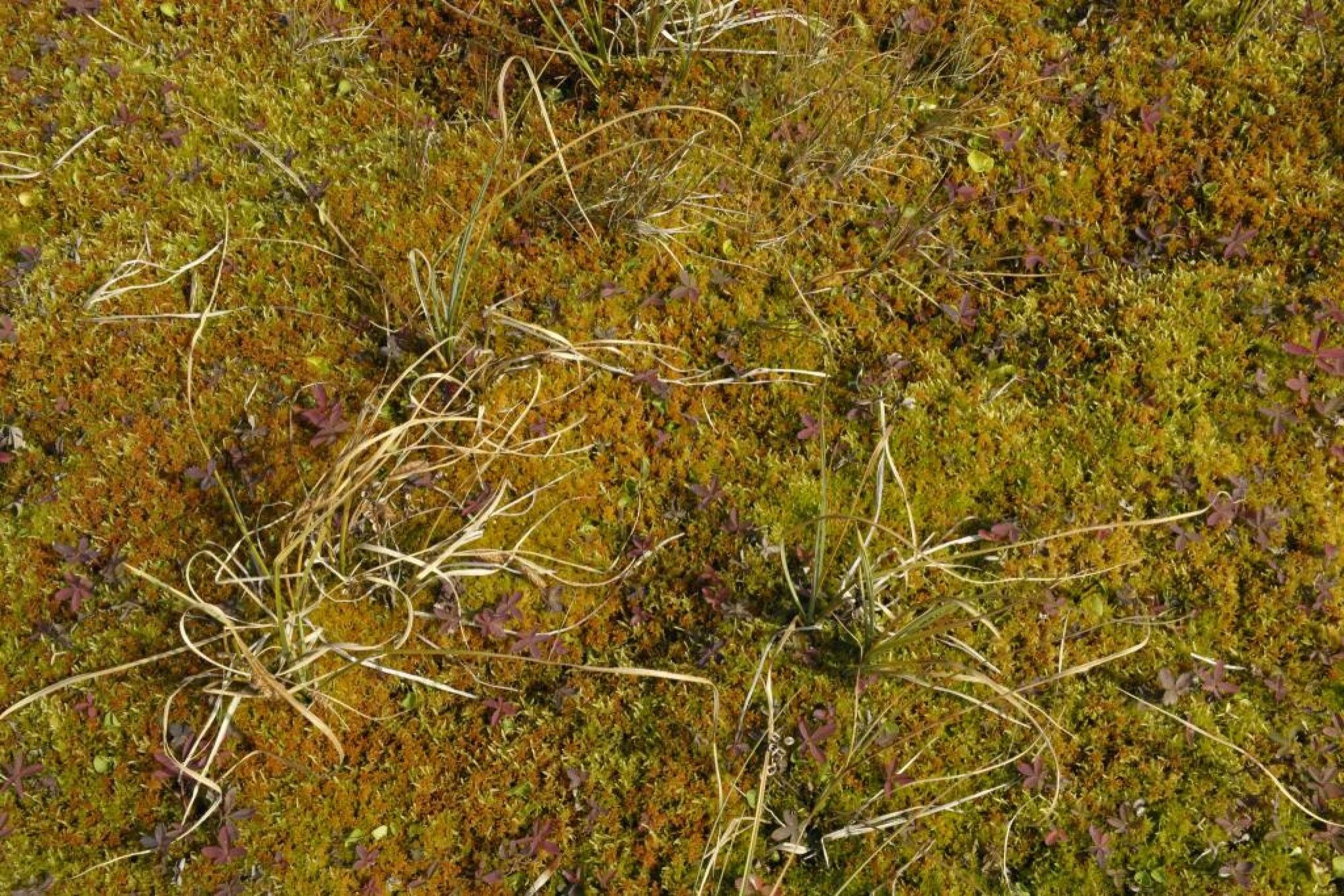
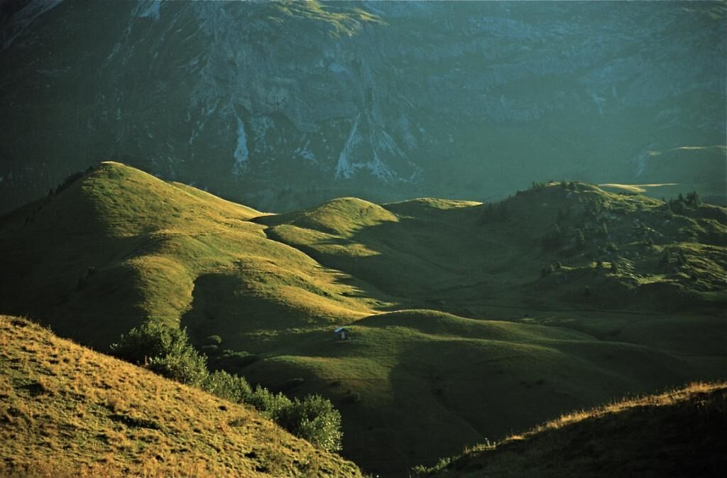
This hike is particularly rewarding when undertaken at sunrise. You can enjoy the first rays of sunlight of the new day across dewy, steaming pastures looking towards the peak.
- Vaikeus
-
vaikea
- Arviointi
-
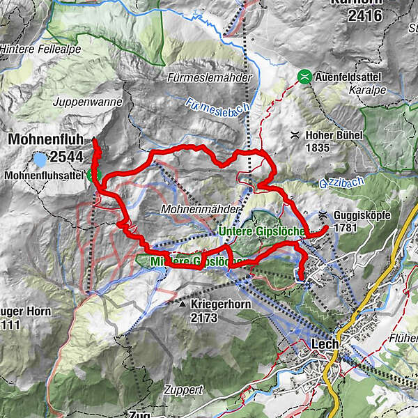
- Reitti
-
Mohnenfluh (2.544 m)5,6 kmKriegeralpe8,4 kmDer Wolf9,1 kmWeibermahdbahn9,2 kmOberlech10,8 kmBergbahn Lech - Oberlech11,0 km
- Paras kausi
-
tammihelmimaalishuhtitoukokesäheinäelosyyslokamarrasjoulu
- Korkein kohta
- 2.525 m
- Kohde
-
Ortsteil Oberlech
- Korkeusprofiili
-

-

-
KirjoittajaKiertue Mohnenfluh käyttää outdooractive.com toimitettu.
GPS Downloads


Yleistä tietoa
Virvokepysäkki
Lupaava
Lisää retkiä alueilla


