
© Bodensee-Vorarlberg Tourismus GmbH - Laterns Tourismus
© Bodensee-Vorarlberg Tourismus GmbH - Laterns Tourismus, Dietmar Breuß
© Bodensee-Vorarlberg Tourismus GmbH - Laterns Tourismus

© Bodensee-Vorarlberg Tourismus GmbH - Laterns Tourismus
© Bodensee-Vorarlberg Tourismus GmbH - Laterns Tourismus

- Lyhyt kuvaus
-
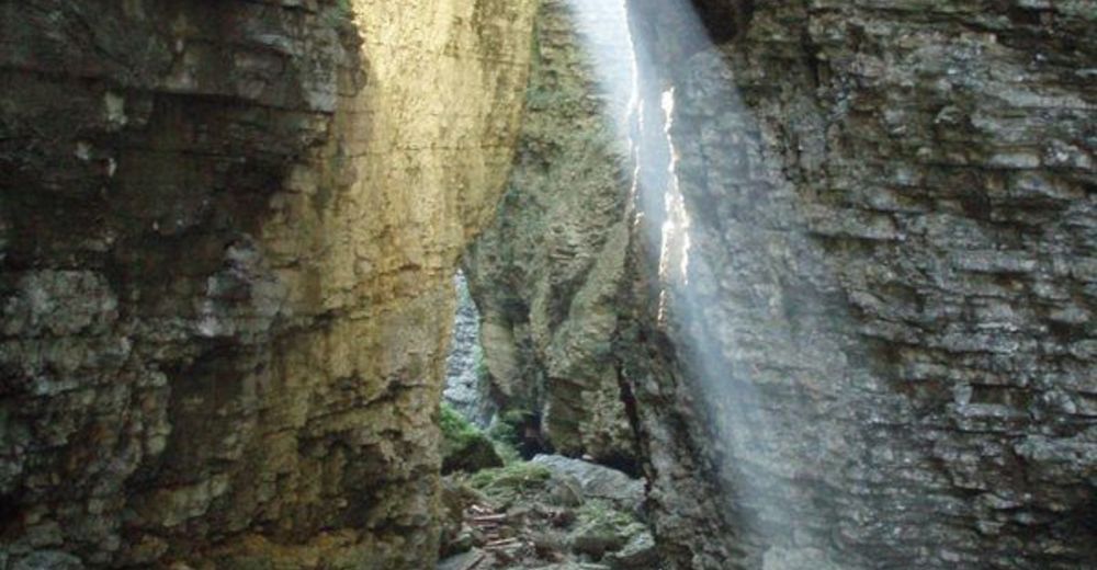
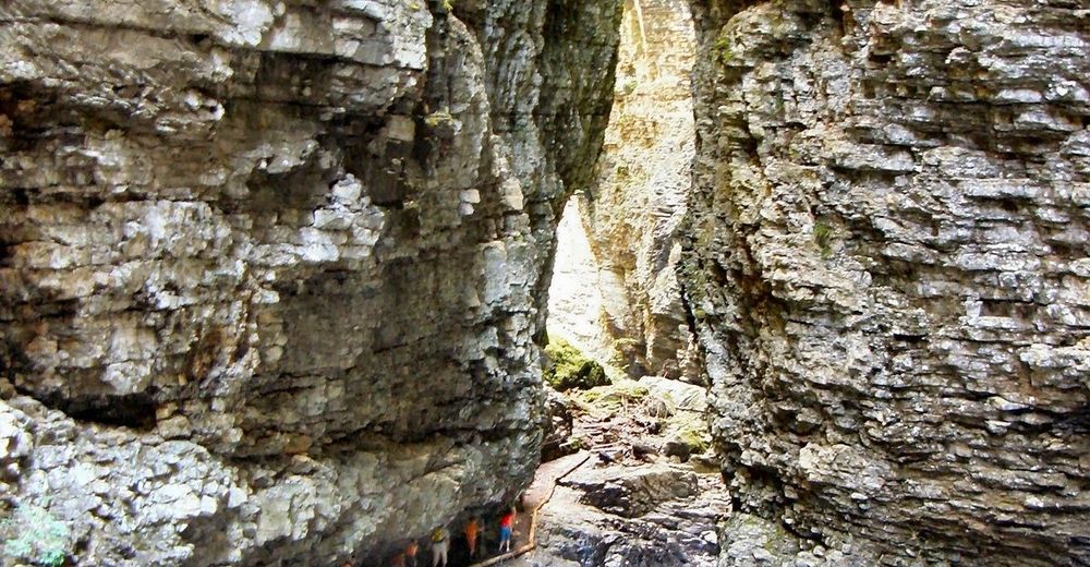
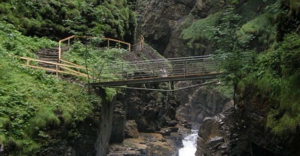
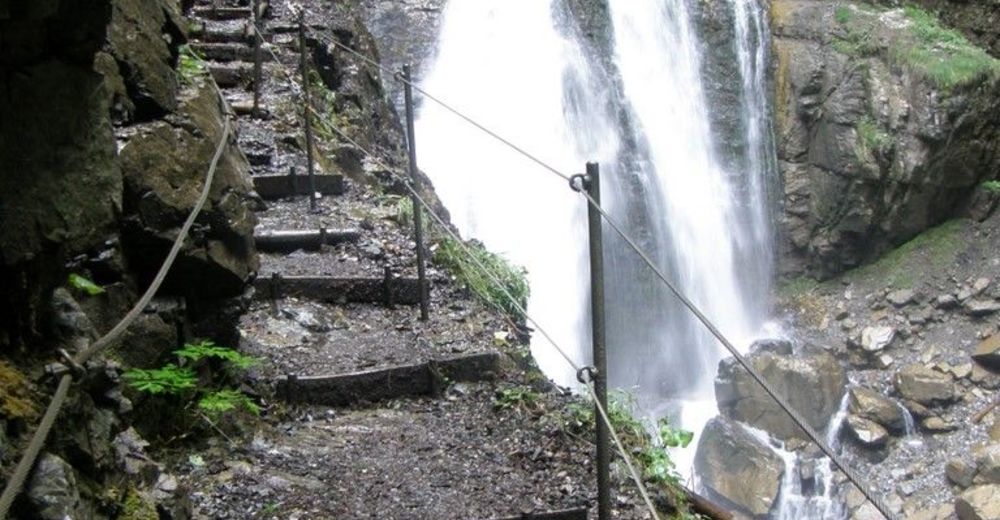
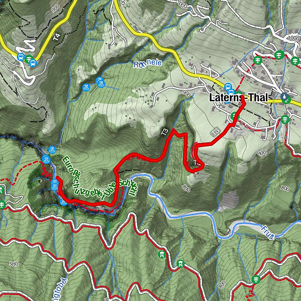
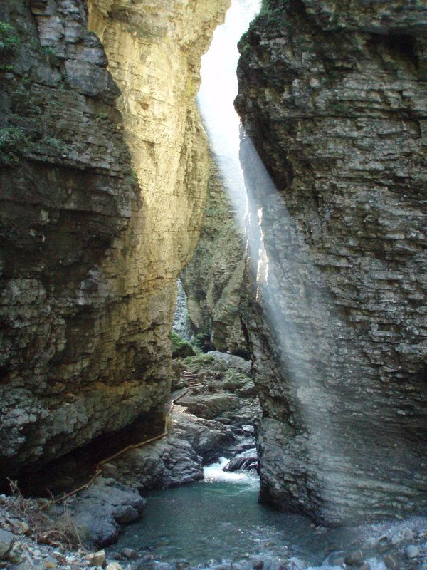
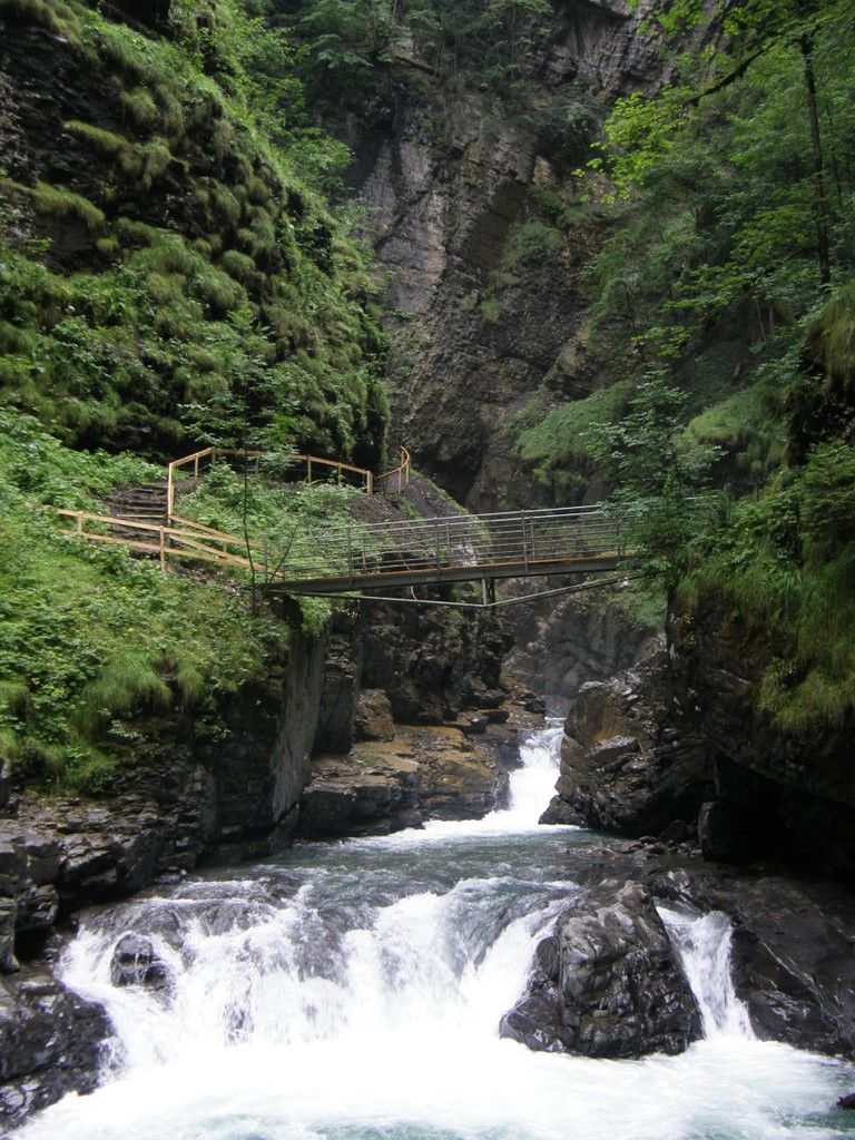
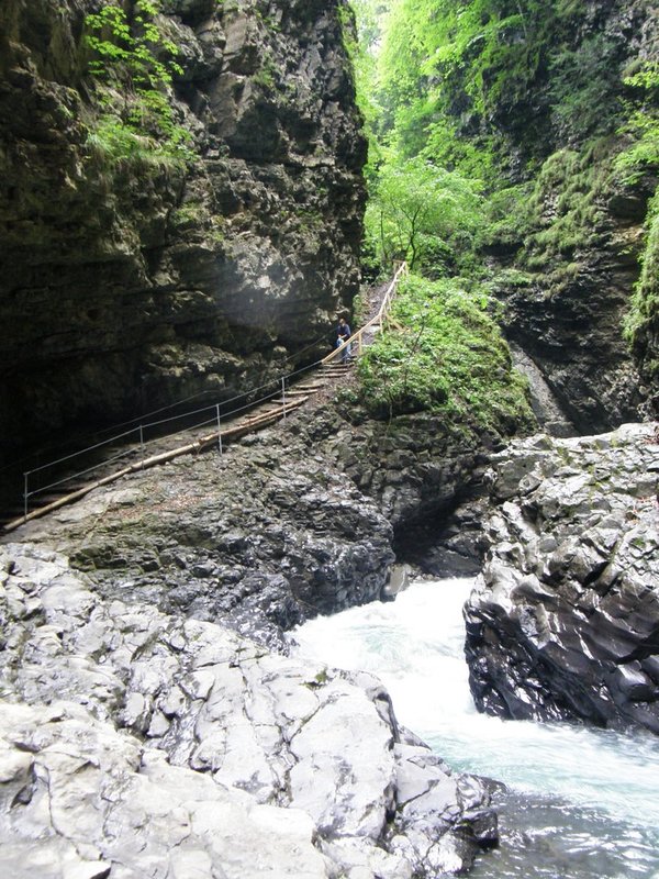
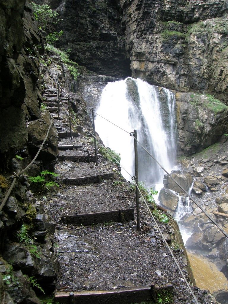
Eine beeindruckende Schluchtwanderung im Flußtal der Frutz.
- Vaikeus
-
tapa
- Arviointi
-
- Reitti
-
Hl. Nikolaus0,0 kmLaterns-Thal0,0 km
- Paras kausi
-
tammihelmimaalishuhtitoukokesäheinäelosyyslokamarrasjoulu
- Korkein kohta
- 922 m
- Kohde
-
Laterns-Thal
- Korkeusprofiili
-


-

-
KirjoittajaKiertue Wanderung durch die Üble Schlucht in Laterns käyttää outdooractive.com toimitettu.
GPS Downloads


Yleistä tietoa
Virvokepysäkki
Lisää retkiä alueilla
-
St. Gallen - Bodensee
2067
-
Alpenregion Vorarlberg
1773
-
Übersaxen
342


