

© Warth-Schröcken Tourismus - Ratko Fotografie und mehr

© Warth-Schröcken Tourismus - Ratko Fotografie und mehr

- Lyhyt kuvaus
-
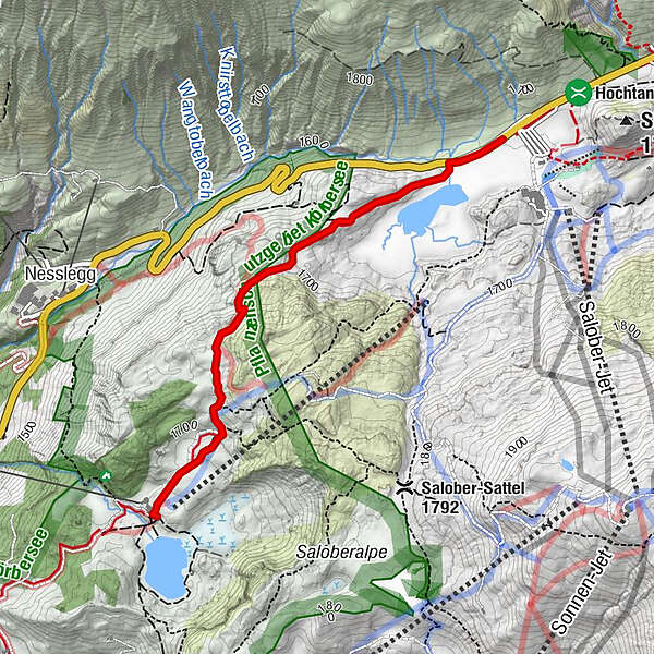
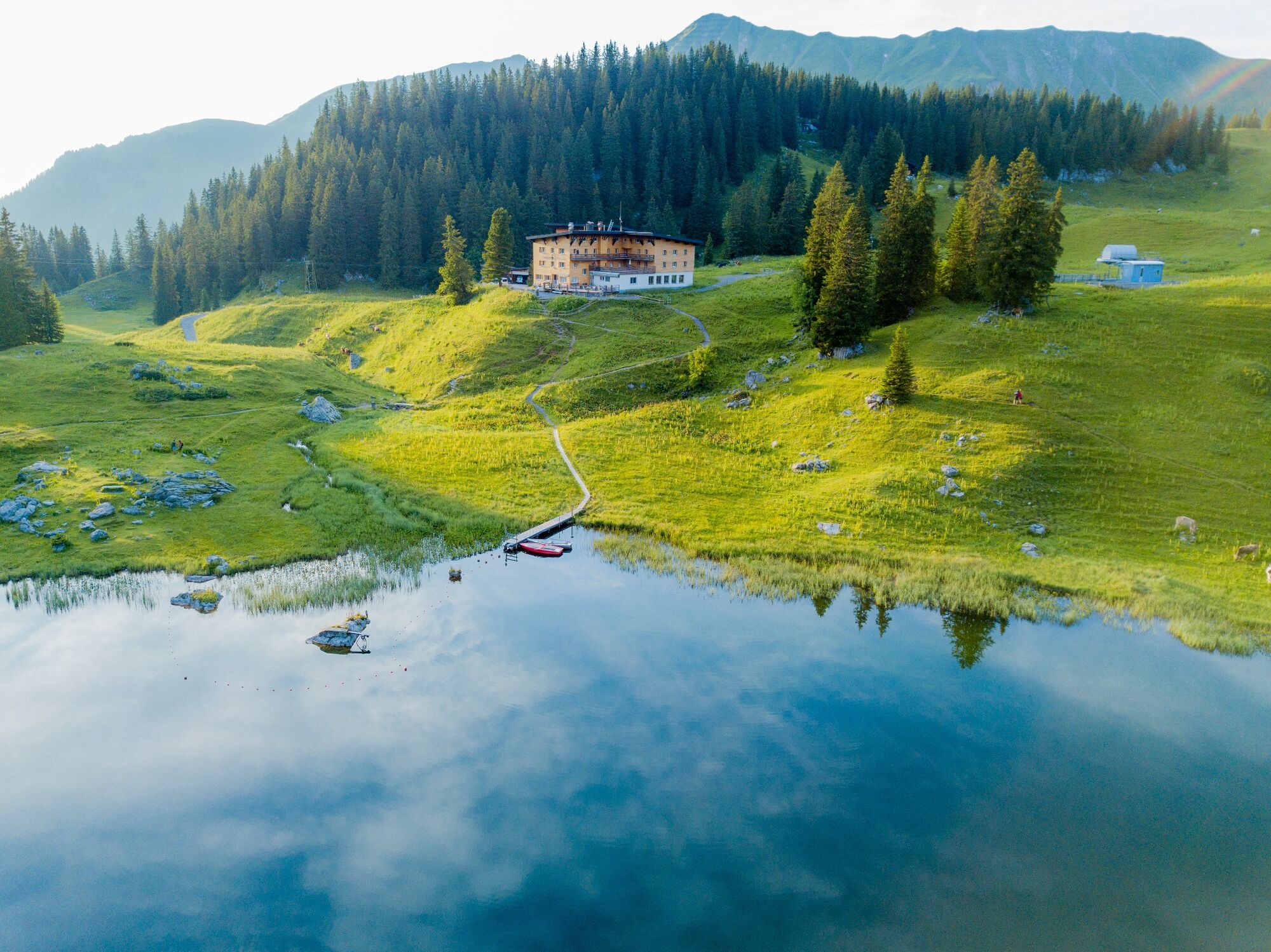
At the Hochtannbergpass the path leads you past Kalbelesee to the picturesque Körbersee. The mountain hotel invites you to take a break before you walk back up the same path.
- Vaikeus
-
helppo
- Arviointi
-
- Paras kausi
-
tammihelmimaalishuhtitoukokesäheinäelosyyslokamarrasjoulu
- Korkein kohta
- 1.741 m
- Kohde
-
Hochtannbergpass
- Korkeusprofiili
-


- Kirjoittaja
-
Kiertue From Kalbelesee to Körbersee and retour käyttää outdooractive.com toimitettu.
GPS Downloads


Yleistä tietoa
Virvokepysäkki
Flora
Fauna
Lupaava
Lisää retkiä alueilla


