

© Alpenregion Bludenz Tourismus GmbH - Melanie Fleisch

© Alpenregion Bludenz Tourismus GmbH - Melanie Fleisch

© Alpenregion Bludenz Tourismus GmbH - Melanie Fleisch

© Alpenregion Bludenz Tourismus GmbH - Melanie Fleisch

© Alpenregion Bludenz Tourismus GmbH - Melanie Fleisch

© Alpenregion Bludenz Tourismus GmbH - Melanie Fleisch

© Alpenregion Bludenz Tourismus GmbH - Melanie Fleisch

© Vorarlberg Tourismus GmbH
- Lyhyt kuvaus
-
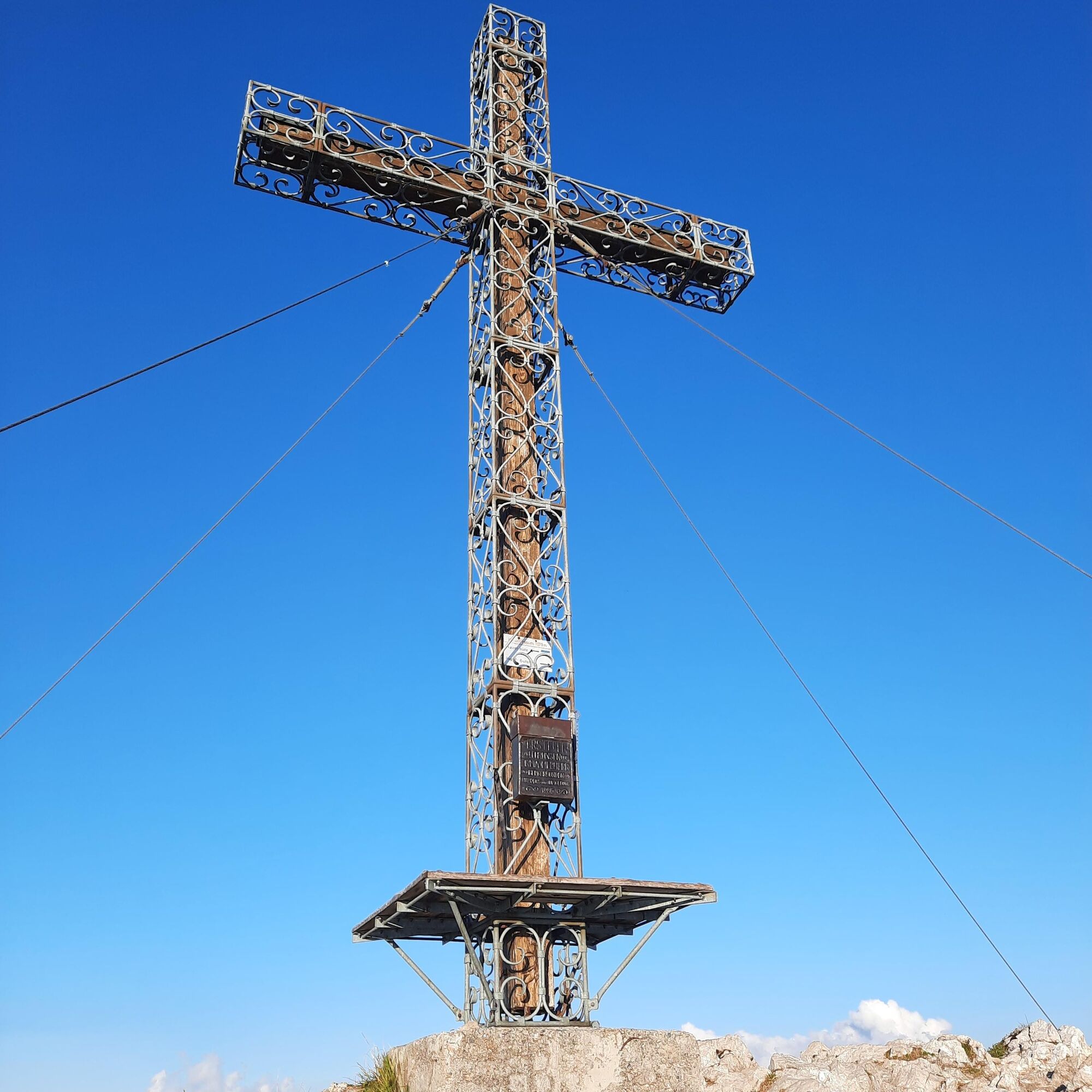
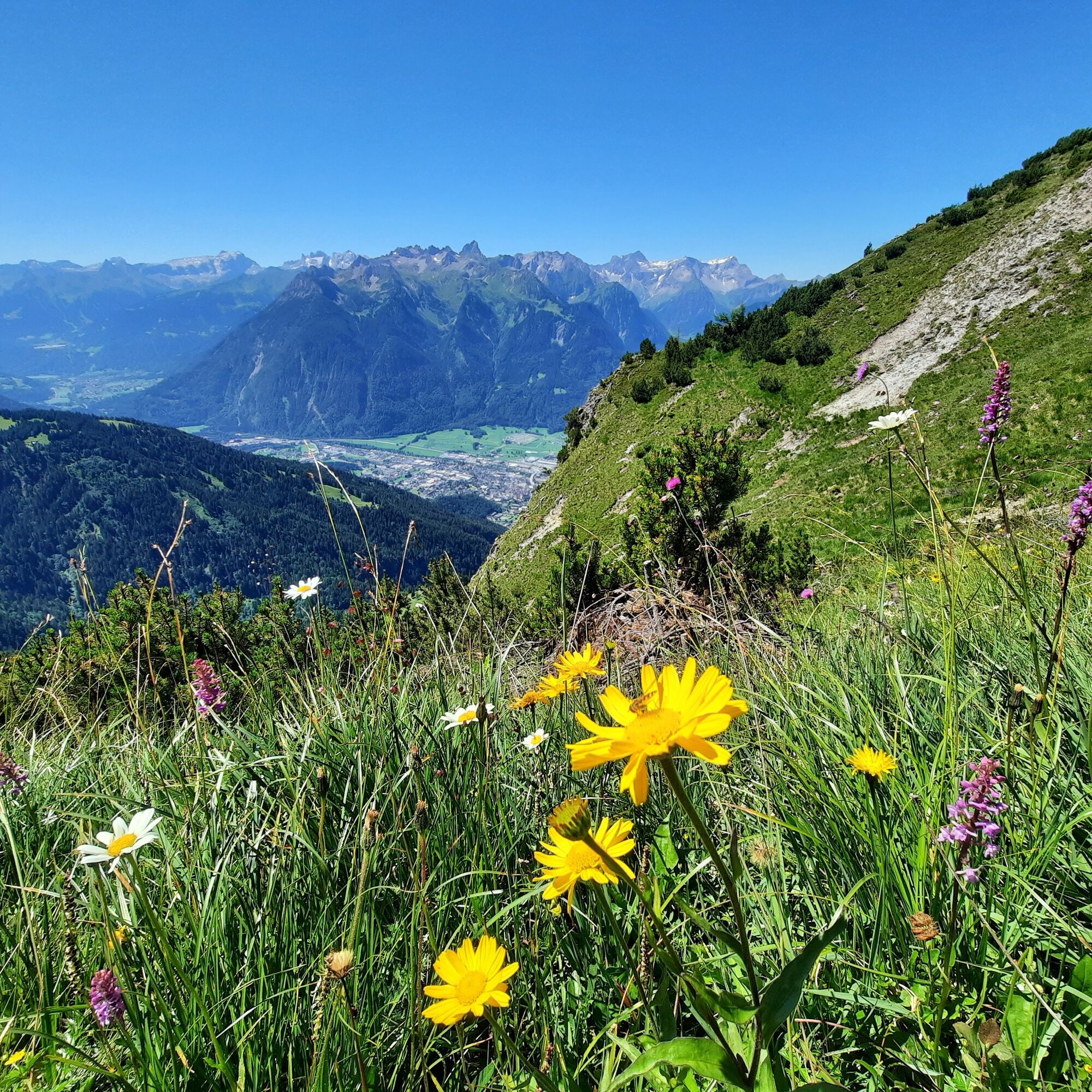
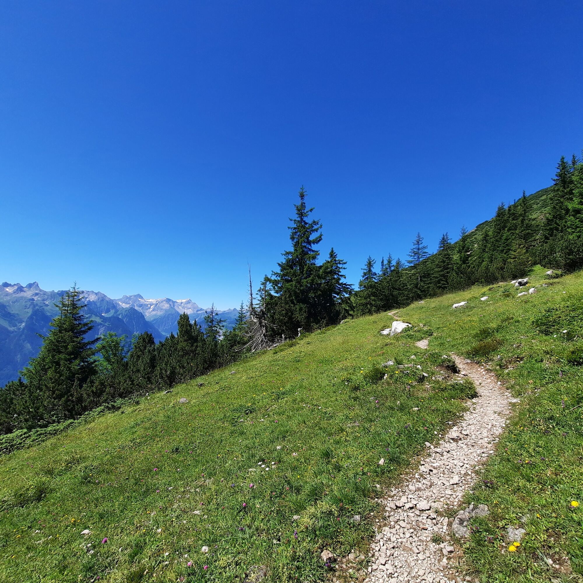
Panoramic mountain with sensational 360° panoramic view. Surrounded by the Ill, the Lutz and the Marulbach, it forms the westernmost corner of the Lechquellen Mountains.
- Vaikeus
-
tapa
- Arviointi
-
- Reitti
-
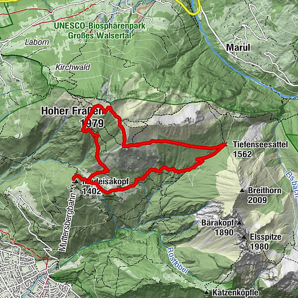
Fraßenhütte2,0 kmHoher Fraßen (1.979 m)2,9 kmTiefenseesattel (1.562 m)5,2 kmMuttersberg8,4 kmMadeisakopf (1.402 m)9,1 km
- Paras kausi
-
tammihelmimaalishuhtitoukokesäheinäelosyyslokamarrasjoulu
- Korkein kohta
- 1.968 m
- Kohde
-
Muttersberg Cable Car mountain station, Bludenz
- Korkeusprofiili
-

- Kirjoittaja
-
Kiertue Hoher Fraßen, 1.979 m | Bludenz-Nüziders käyttää outdooractive.com toimitettu.
GPS Downloads


Yleistä tietoa
Virvokepysäkki
Lupaava
Lisää retkiä alueilla
-
St. Gallen - Bodensee
2067
-
Alpenstadt Bludenz
1850
-
Muttersberg - Bludenz
499


