

© Alpenregion Bludenz Tourismus GmbH - Melanie Fleisch

© Alpenregion Bludenz Tourismus GmbH - Melanie Fleisch

© Alpenregion Bludenz Tourismus GmbH - Melanie Fleisch

© Alpenregion Bludenz Tourismus GmbH - Melanie Fleisch

© Alpenregion Bludenz Tourismus GmbH - Melanie Fleisch

© Alpenregion Bludenz Tourismus GmbH - Melanie Fleisch

© Alpenregion Bludenz Tourismus GmbH - Melanie Fleisch

© Alpenregion Bludenz Tourismus GmbH - Melanie Fleisch

© Alpenregion Bludenz Tourismus GmbH - Melanie Fleisch

© Alpenregion Bludenz Tourismus GmbH - Melanie Fleisch
- Lyhyt kuvaus
-
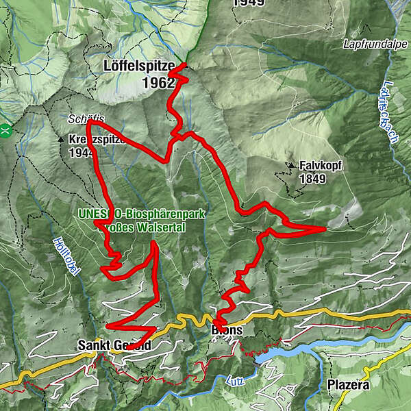
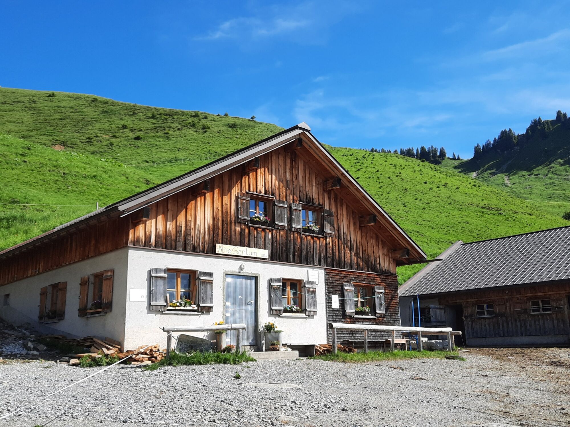
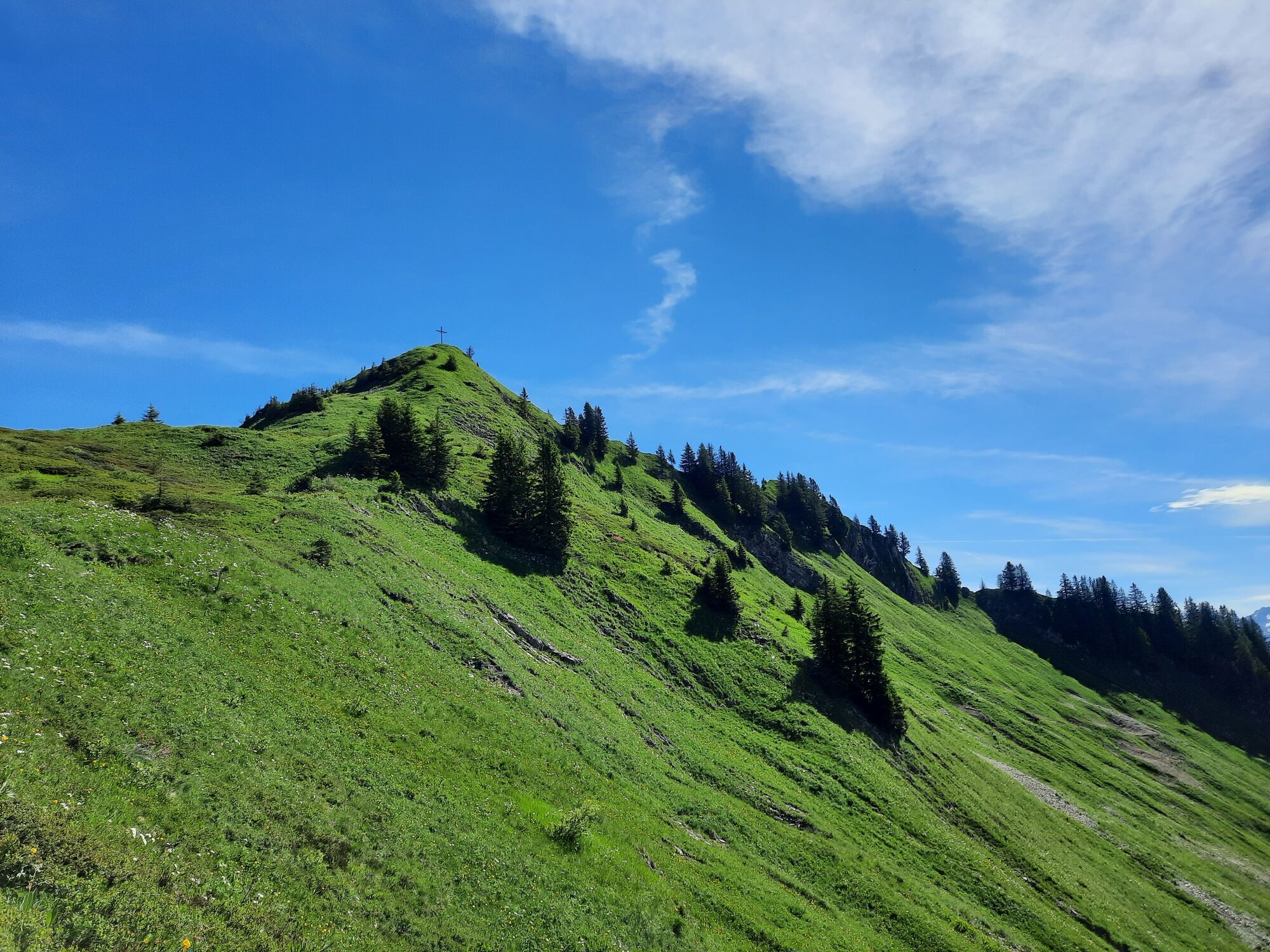
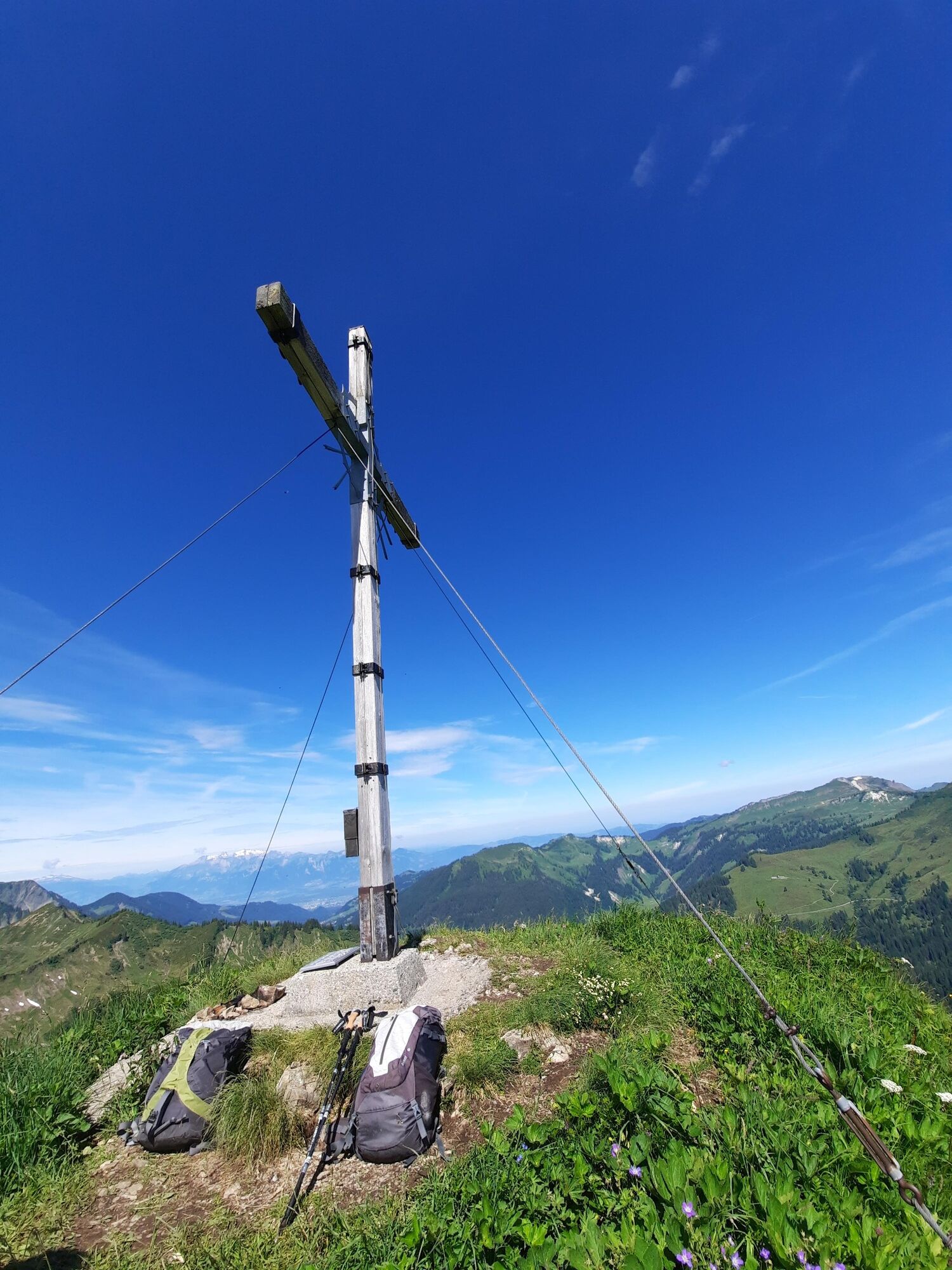
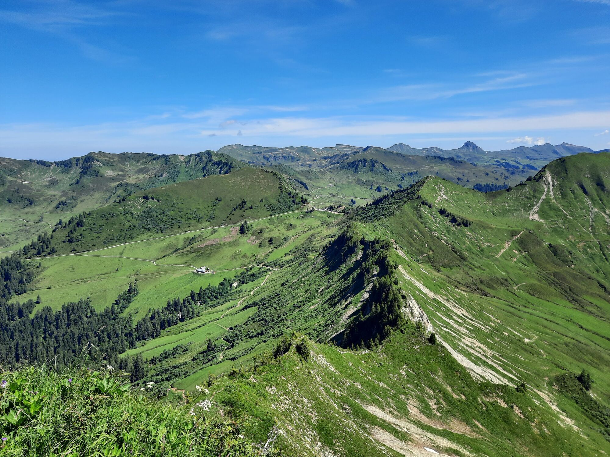
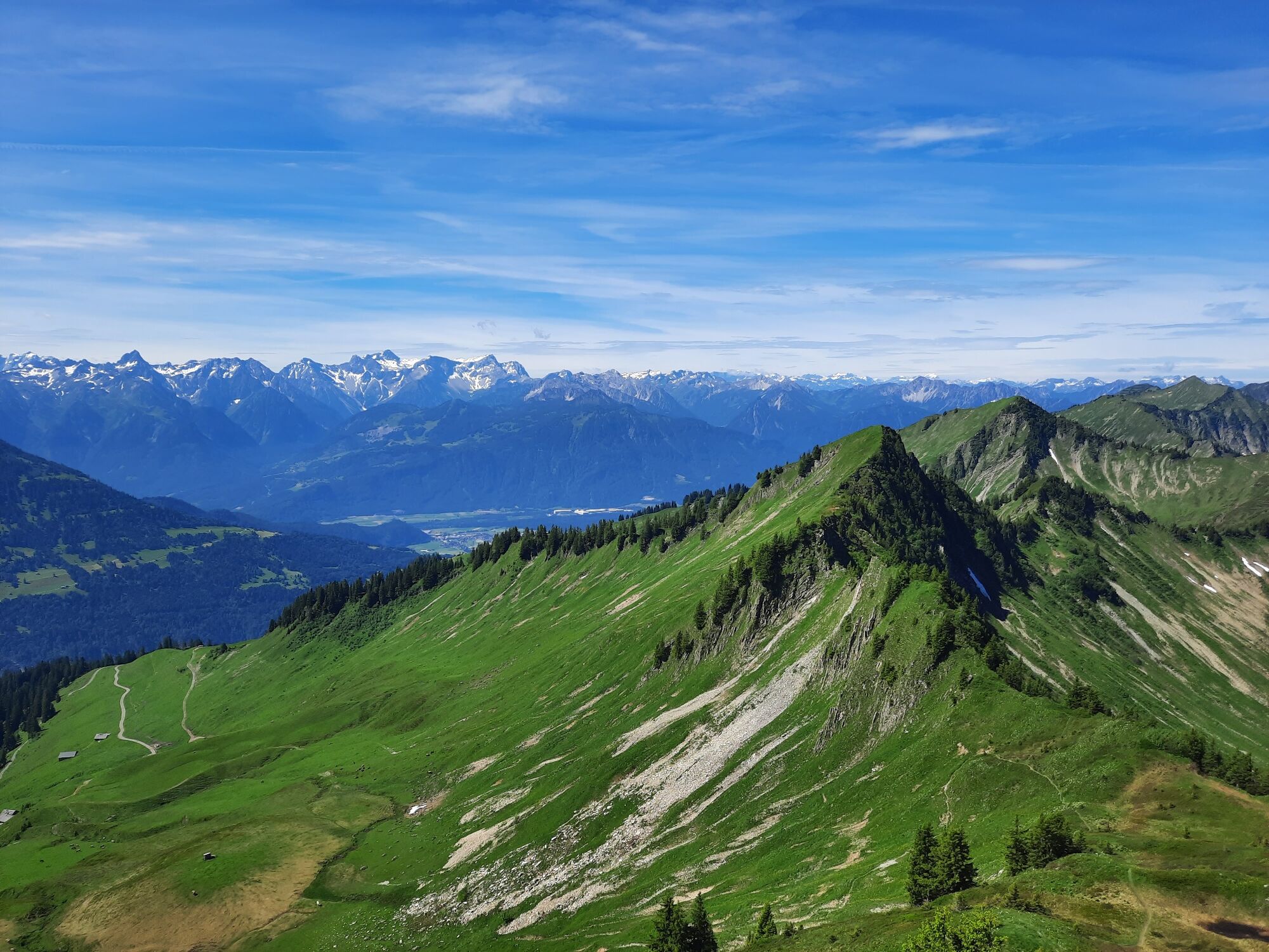
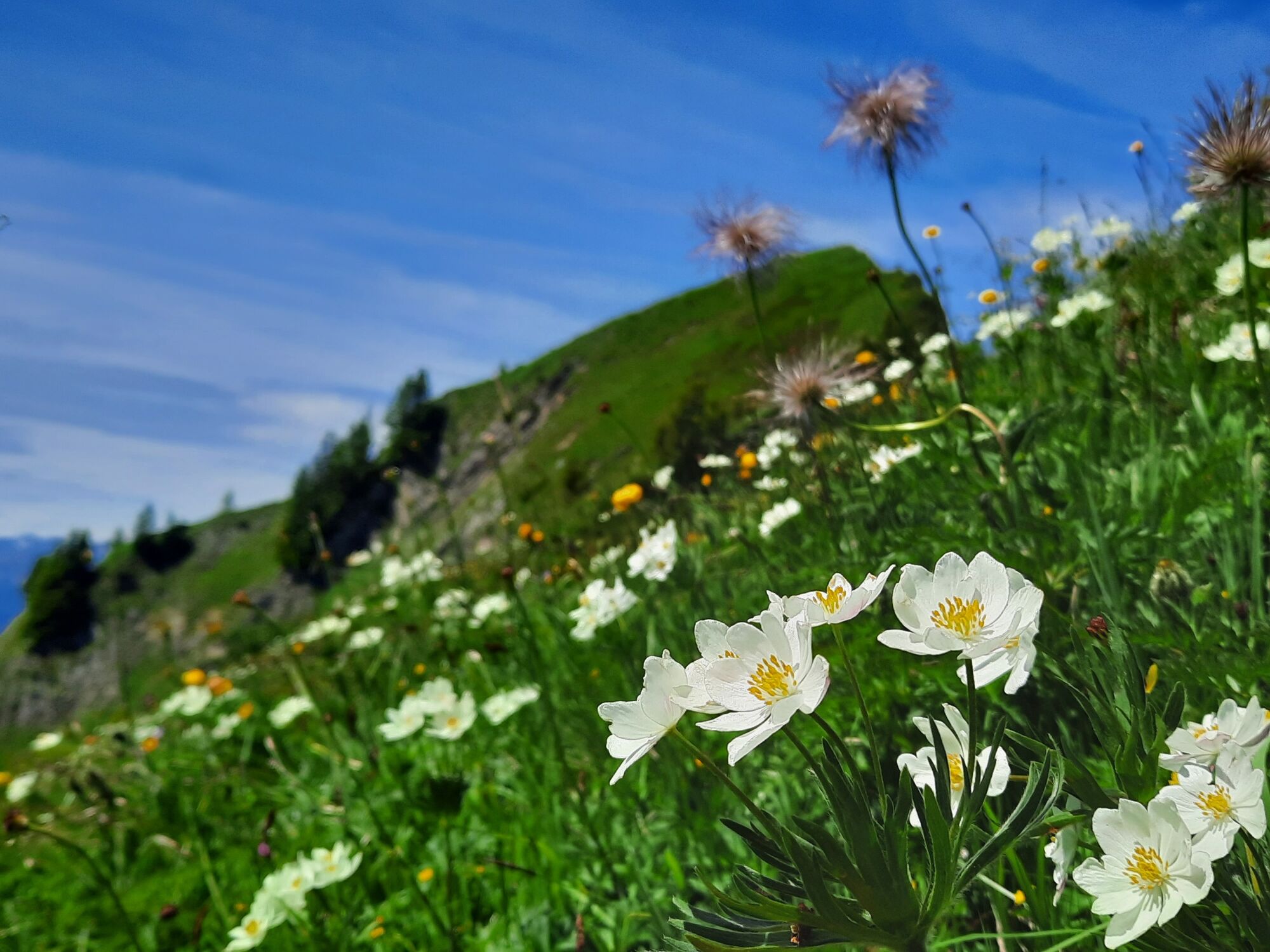
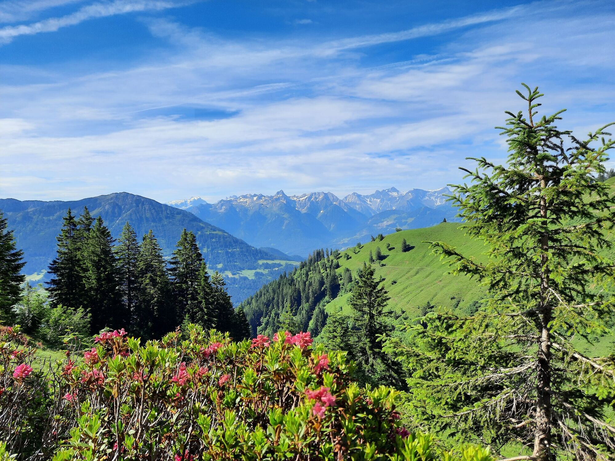
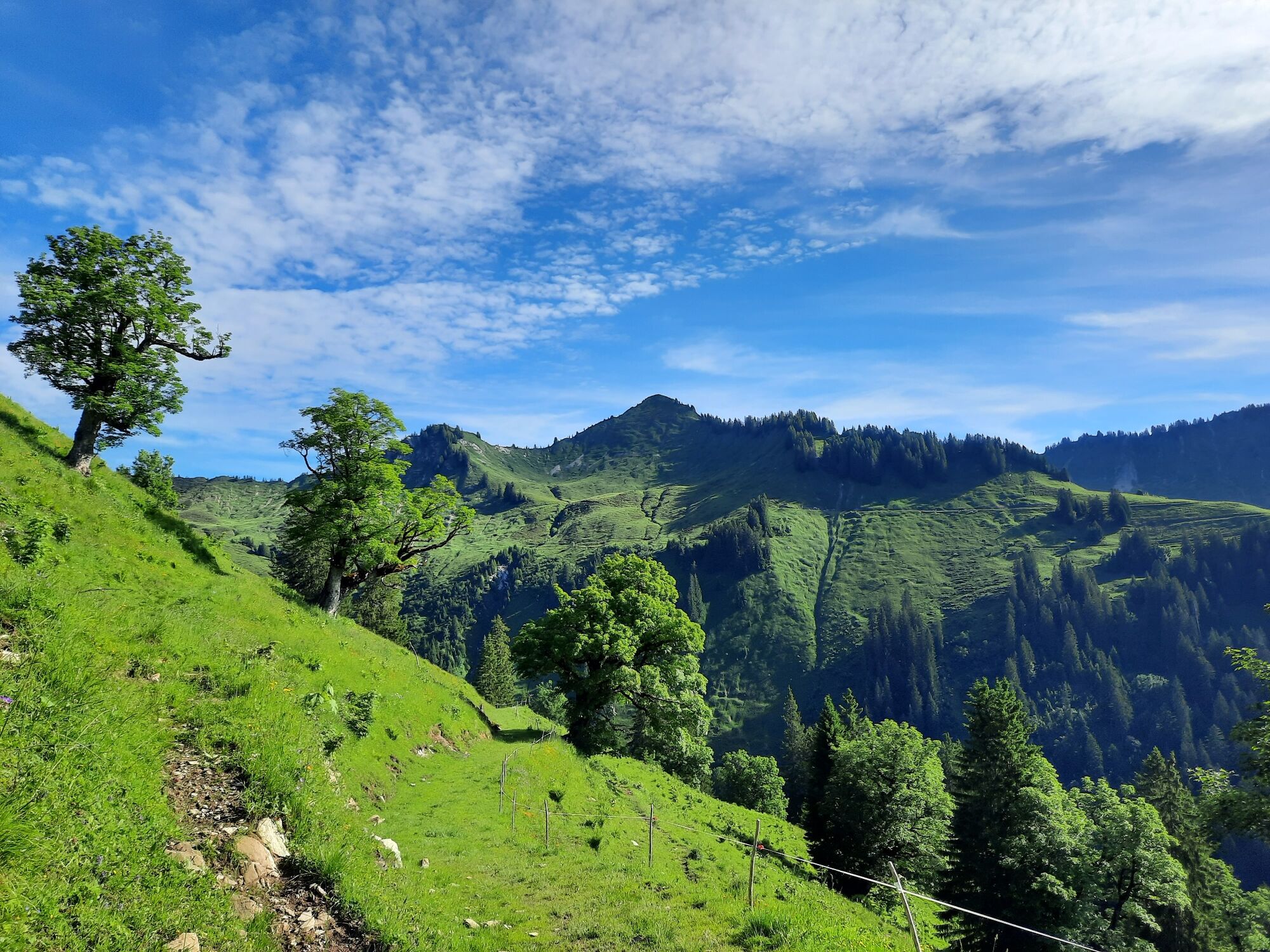
One of the most beautiful mountain tours leads past the Sentum Alpe up to the Löffelspitze at 1,962 m.
- Vaikeus
-
tapa
- Arviointi
-
- Reitti
-
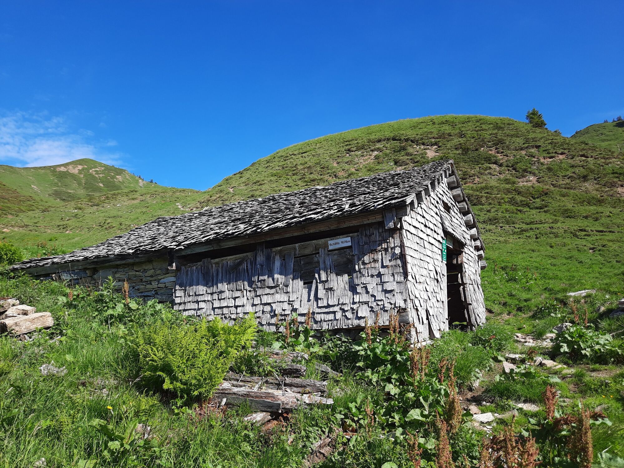
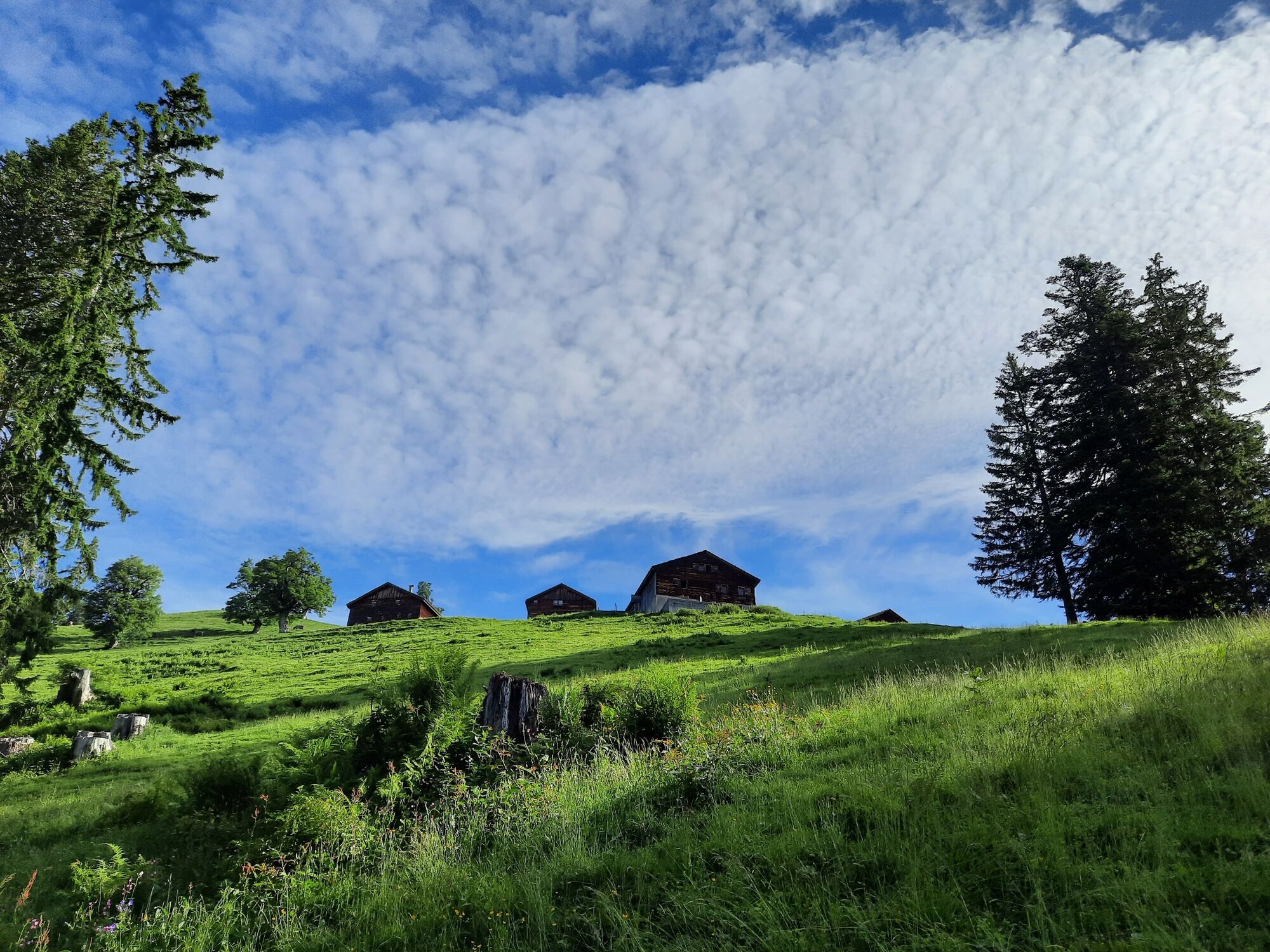
FalvaBlonsPfarrkirche St. Mariä Empfängnis0,0 kmLöffelspitze (1.962 m)11,8 kmSchäfis (verfallen) (1.693 m)15,0 kmPlansottalpe (1.558 m)16,3 kmBündten (1.312 m)17,6 kmPlankenberg19,9 kmSt. Gerold21,3 km
- Paras kausi
-
tammihelmimaalishuhtitoukokesäheinäelosyyslokamarrasjoulu
- Korkein kohta
- 1.944 m
- Kohde
-
St. Gerold
- Korkeusprofiili
-


- Kirjoittaja
-
Kiertue Löffelspitze, 1.962 m | Blons - St. Gerold käyttää outdooractive.com toimitettu.
GPS Downloads


Yleistä tietoa
Lupaava
Lisää retkiä alueilla
-
St. Gallen - Bodensee
2067
-
Biosphärenpark Großes Walsertal
2011
-
Blons
462


