

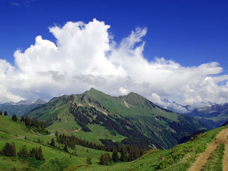
© Damüls - Faschina Tourismus - Matthias Greilach

- Lyhyt kuvaus
-
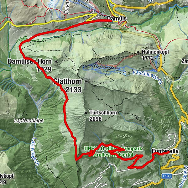
Damüls - Alpe Unterdamüls - Hintertürtschalpe - Türtschalpe - Mittelberg -Fontanella
- Vaikeus
-
tapa
- Arviointi
-
- Reitti
-
Damüls (1.423 m)Alpe Unterdamüls2,7 kmTürtschalpe (1.641 m)6,2 kmMittelberg10,6 kmPfarrkirche Hl. Sebastian12,1 kmFontanella (1.145 m)12,1 km
- Paras kausi
-
tammihelmimaalishuhtitoukokesäheinäelosyyslokamarrasjoulu
- Korkein kohta
- 1.703 m
- Kohde
-
Fontanella
- Korkeusprofiili
-

- Kirjoittaja
-
Kiertue Damüls-Faschina | Rund um's Glatthorn käyttää outdooractive.com toimitettu.
GPS Downloads


Yleistä tietoa
Virvokepysäkki
Lupaava
Lisää retkiä alueilla


