
© Lech Zürs Tourismus GmbH - Lech Zuers Tourismus GmbH
© Lech Zürs Tourismus GmbH - Lech Zuers Tourismus GmbH
© Lech Zürs Tourismus GmbH - Lech Zuers Tourismus GmbH
© Lech Zürs Tourismus GmbH - Lech Zuers Tourismus GmbH
© Lech Zürs Tourismus GmbH - Lech Zuers Tourismus GmbH
© Lech Zürs Tourismus GmbH - Lech Zuers Tourismus GmbH
- Lyhyt kuvaus
-
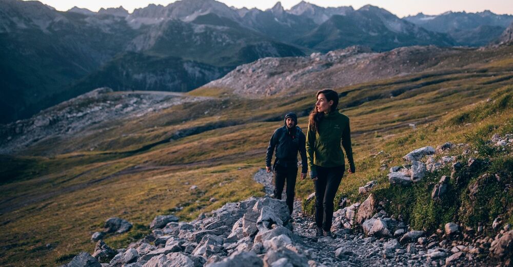
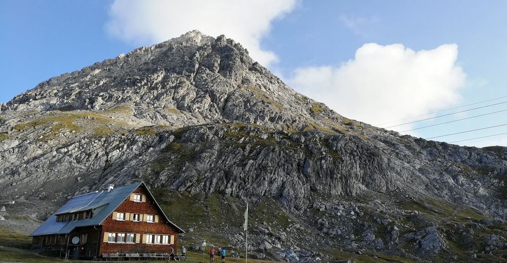
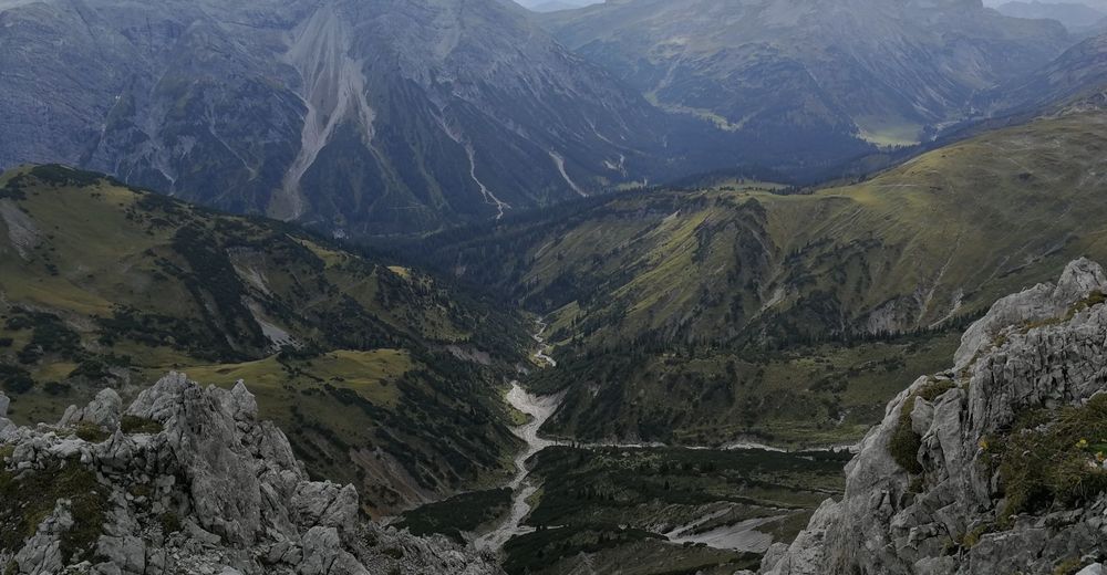
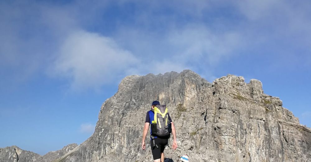
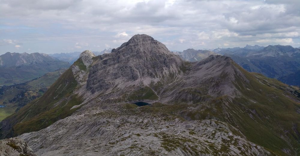
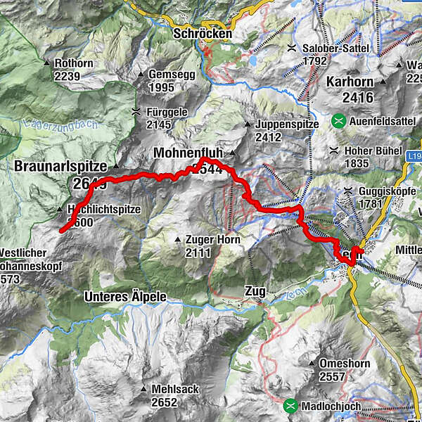
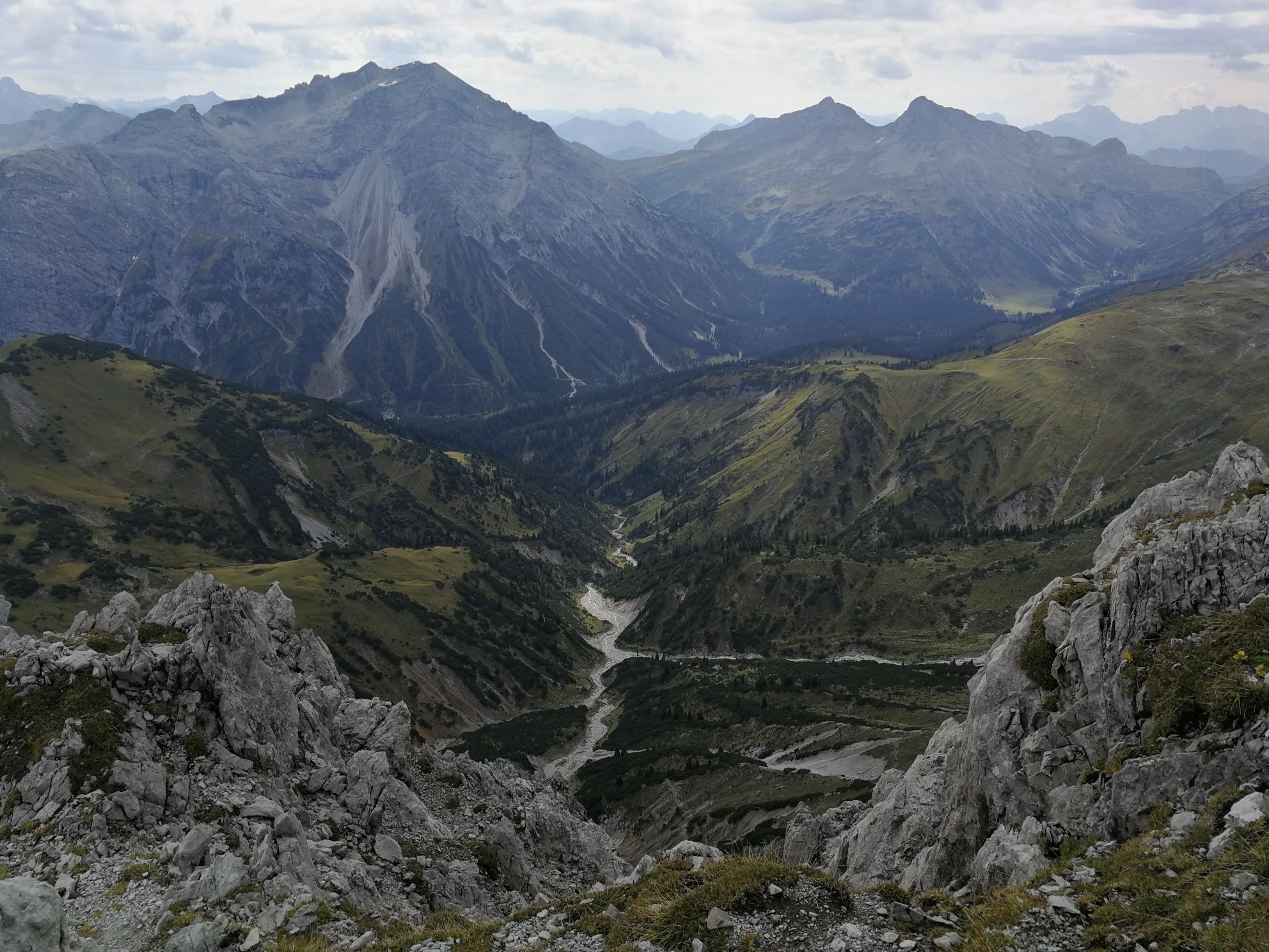
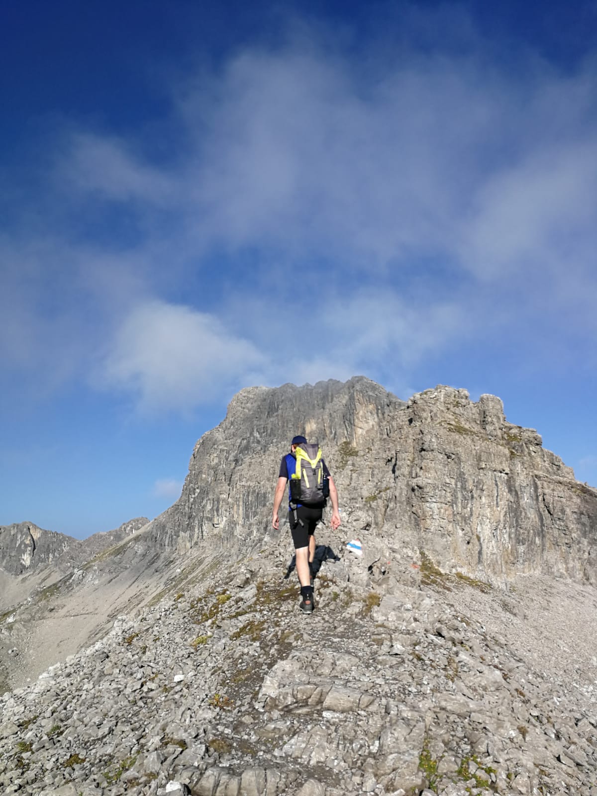
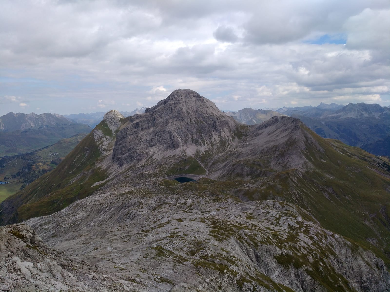
From Lech via Oberlech up to Mohnensattel and Lake Butzensee. Continue along a picturesque high trail to the well-earned hut Göppinger.
- Vaikeus
-
tapa
- Arviointi
-
- Reitti
-
Neue Kirche Lech0,1 kmBergbahn Lech - Oberlech0,2 kmLech (1.444 m)0,8 kmSchlegelkopfbahn II2,8 kmWeibermahdbahn3,5 kmDer Wolf3,6 km
- Paras kausi
-
tammihelmimaalishuhtitoukokesäheinäelosyyslokamarrasjoulu
- Korkein kohta
- 2.430 m
- Kohde
-
Hut Göppinger
- Korkeusprofiili
-


-

-
KirjoittajaKiertue Hut hike Lech-Oberlech-hut Göppinger käyttää outdooractive.com toimitettu.
GPS Downloads


Yleistä tietoa
Virvokepysäkki
Lupaava
Lisää retkiä alueilla


