

© Alpenregion Bludenz Tourismus GmbH - Melanie Fleisch

© Alpenregion Bludenz Tourismus GmbH - Melanie Fleisch

© Alpenregion Bludenz Tourismus GmbH - Melanie Fleisch

© Alpenregion Bludenz Tourismus GmbH - Melanie Fleisch

© Alpenregion Bludenz Tourismus GmbH - Melanie Fleisch

© Vorarlberg Tourismus GmbH
- Lyhyt kuvaus
-
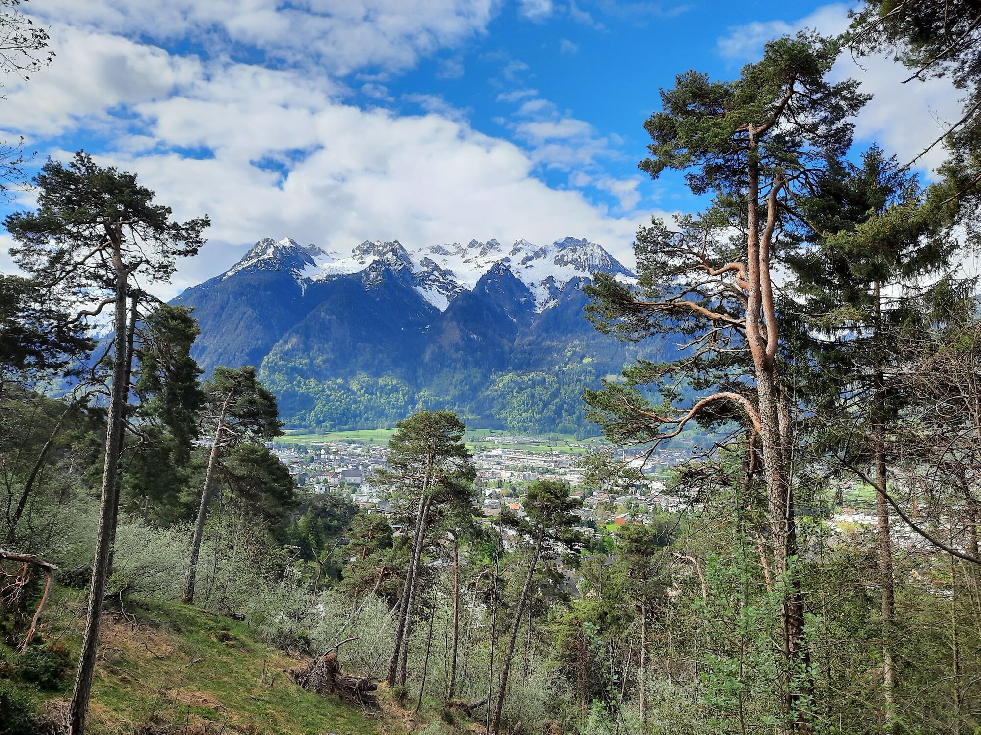
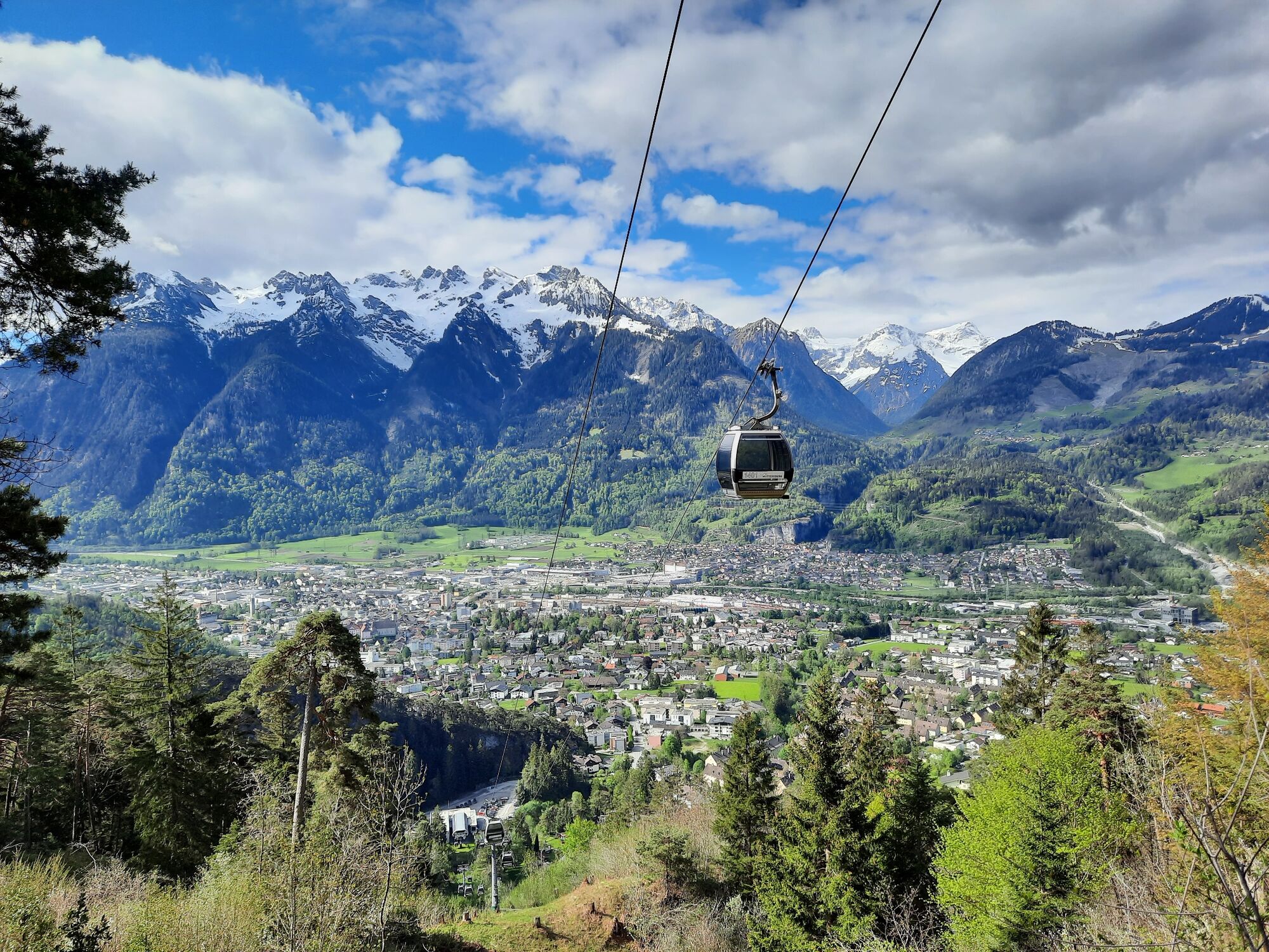
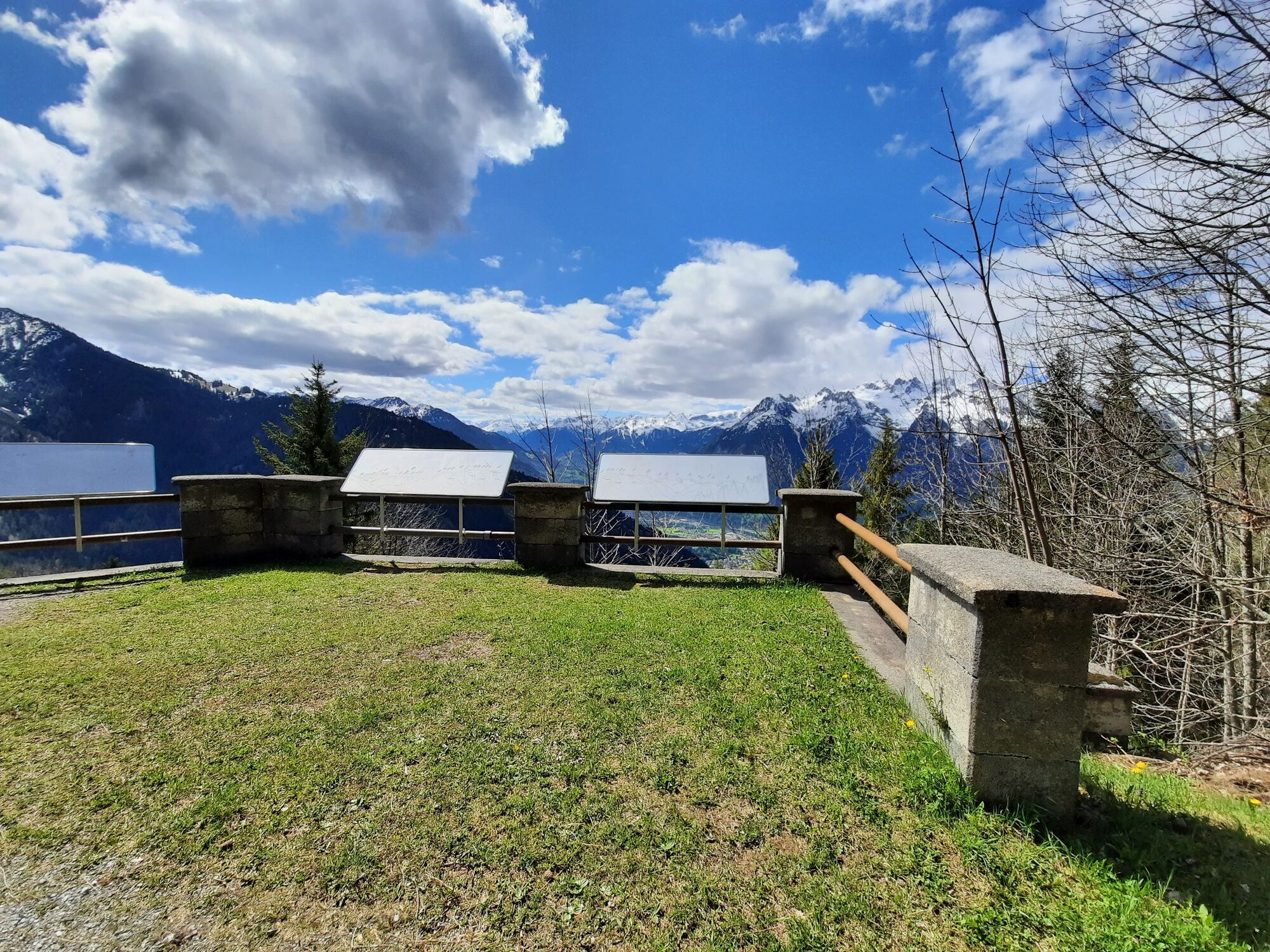
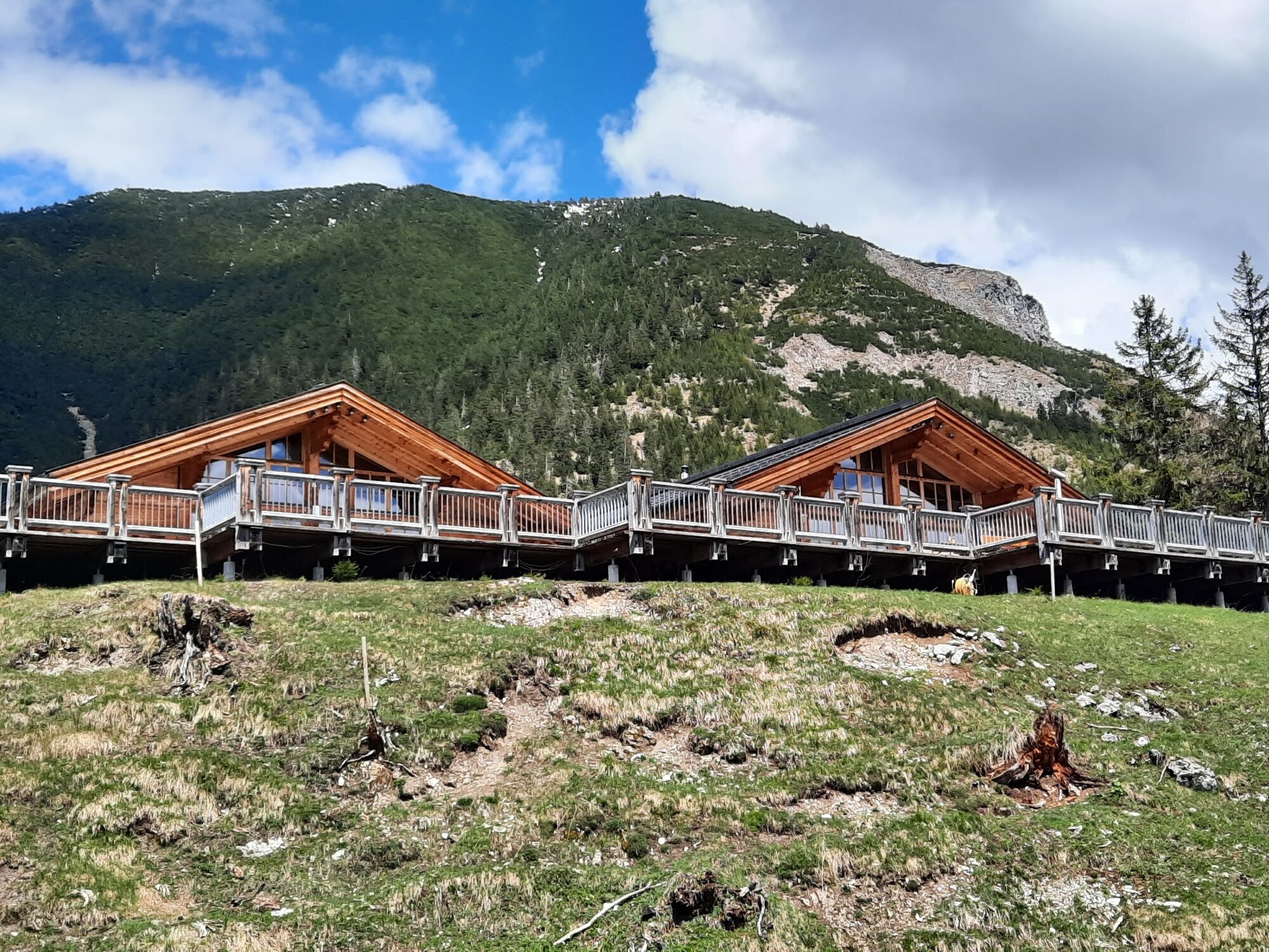
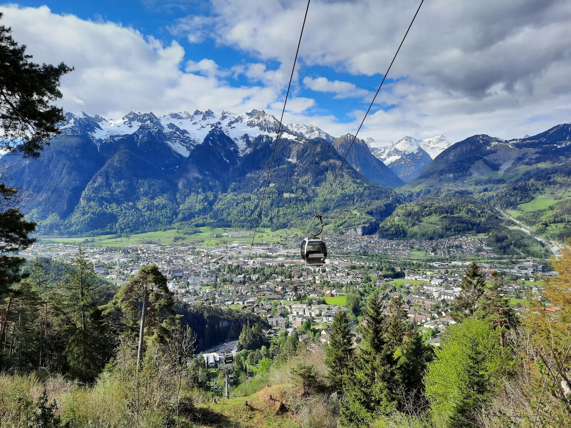
Beautiful hike from Bludenz to the Muttersberg, the local mountain of Bludenz and Nüziders.
- Vaikeus
-
helppo
- Arviointi
-
- Reitti
-
BludenzMariä-Heimsuchung-Kapelle1,7 kmOberes Bild3,7 kmMuttersberg4,9 kmAlpengasthof Muttersberg5,6 kmMadeisakopf (1.402 m)5,6 km
- Paras kausi
-
tammihelmimaalishuhtitoukokesäheinäelosyyslokamarrasjoulu
- Korkein kohta
- 1.391 m
- Kohde
-
Alpengasthof Muttersberg, Bludenz
- Korkeusprofiili
-

- Kirjoittaja
-
Kiertue Up to the Muttersberg | Bludenz-Nüziders käyttää outdooractive.com toimitettu.
GPS Downloads


Yleistä tietoa
Virvokepysäkki
Lupaava
Lisää retkiä alueilla
-
St. Gallen - Bodensee
2066
-
Alpenstadt Bludenz
1848
-
Muttersberg - Bludenz
499


