


- Lyhyt kuvaus
-
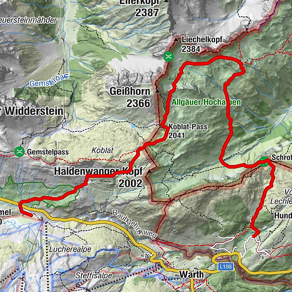
Anstregende Tagestour für geübte Wanderer mit guter Kondition.
Etappen:
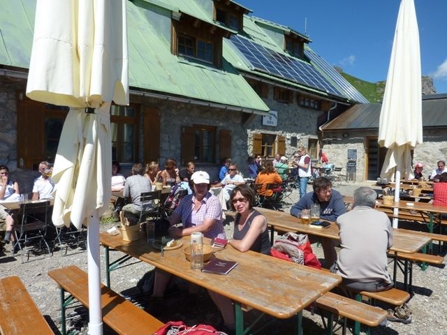
Obere Hirschgehrenalpe - Einstieg Geißhorn - Mindelheimer Hütte - Speicherhütte - Schrofenpass - Lechleiten - Gehren - Hochkrumbach
Schwierigkeiten:
Schrofenpass ausgesetzt mit Seilsicherung und Leitern
- Reitti
-
Hochkrumbach0,1 kmKoblat-Pass (2.041 m)3,9 kmMindelheimer Hütte6,3 km
- Korkein kohta
- 2.176 m
- Korkeusprofiili
-

- Kirjoittaja
-
Kiertue Mindelheimer Hütte käyttää outdooractive.com toimitettu.
GPS Downloads


Lisää retkiä alueilla
-
Kleinwalsertal
2055
-
Mittelberg
601


