

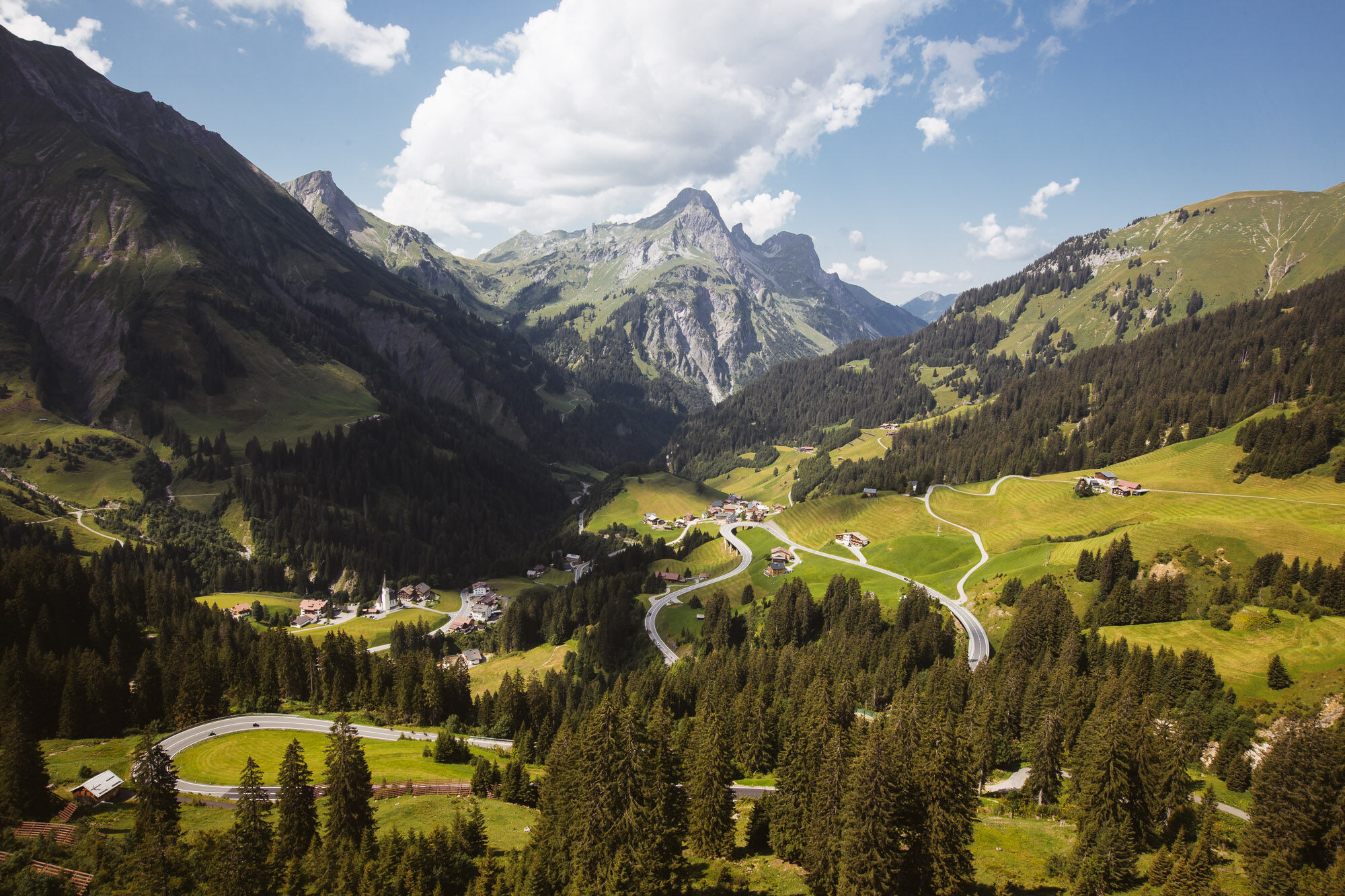
© Warth-Schröcken Tourismus - Sebastian Stiphout

- Lyhyt kuvaus
-
Even in the 4-day version, the Seven Summits do not lose their appeal and claim. Four stages add up to 65 kilometres of hiking trails. A real dream round high up in the Bregenzerwald and Arlberg area with peaks, mountain lakes, hut retreat and spectacular views. Here, too, every day is started and finished in Schröcken.
Stage 1: Mohnenfluh - Juppenspitze (walking time: 9 1⁄2 hours)
Stage 2: Braunarlspitze (walking time: 8 hours)
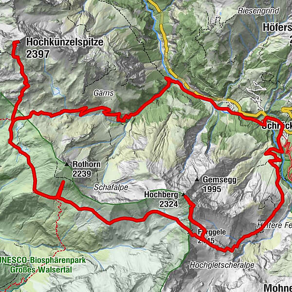
Stage 3: Hochkünzelspitze - Rothorn - Hochberg (walking time: 12 hours)
Stage 4: Höferspitze (walking time: 4 hours)
- Vaikeus
-
vaikea
- Arviointi
-
- Reitti
-
Materialseilbahn Körbersee0,0 kmSchröcken (1.269 m)0,1 kmTannberg0,2 kmIm Heimboden0,5 kmUnterboden1,4 kmLandsteg2,6 kmRothenplatz7,5 kmSchadonapass (1.836 m)7,7 kmHochkünzelspitze (2.397 m)10,0 kmSchadonapass (1.836 m)12,3 kmBiberacher Hütte (1.846 m)12,5 kmRothorn (2.239 m)15,0 kmOberes Seeli17,9 kmFürggele (2.145 m)18,6 kmHochberg (2.324 m)20,1 kmSchröcken (1.269 m)25,7 km
- Paras kausi
-
tammihelmimaalishuhtitoukokesäheinäelosyyslokamarrasjoulu
- Korkein kohta
- 2.374 m
- Kohde
-
Schröcken village square
- Korkeusprofiili
-

- Kirjoittaja
-
Kiertue Seven Summits Week (Stage 3 of 4) käyttää outdooractive.com toimitettu.
GPS Downloads


Yleistä tietoa
Virvokepysäkki
Lupaava
Lisää retkiä alueilla


