

© Warth-Schröcken Tourismus - Ratko Fotografie und mehr

© Warth-Schröcken Tourismus - Ratko Fotografie und mehr

© Warth-Schröcken Tourismus - Ratko Fotografie und mehr

© Warth-Schröcken Tourismus - Ratko Fotografie und mehr

© Warth-Schröcken Tourismus - Sebastian Stiphout

- Lyhyt kuvaus
-
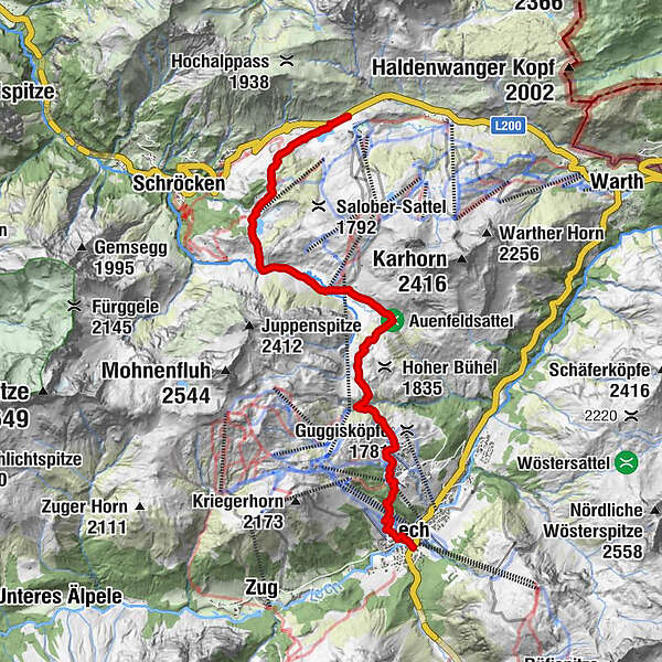
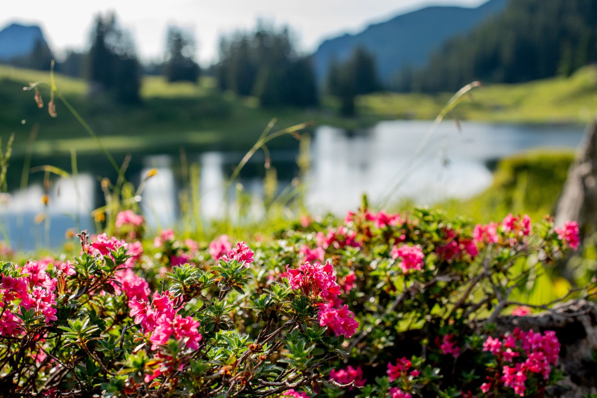
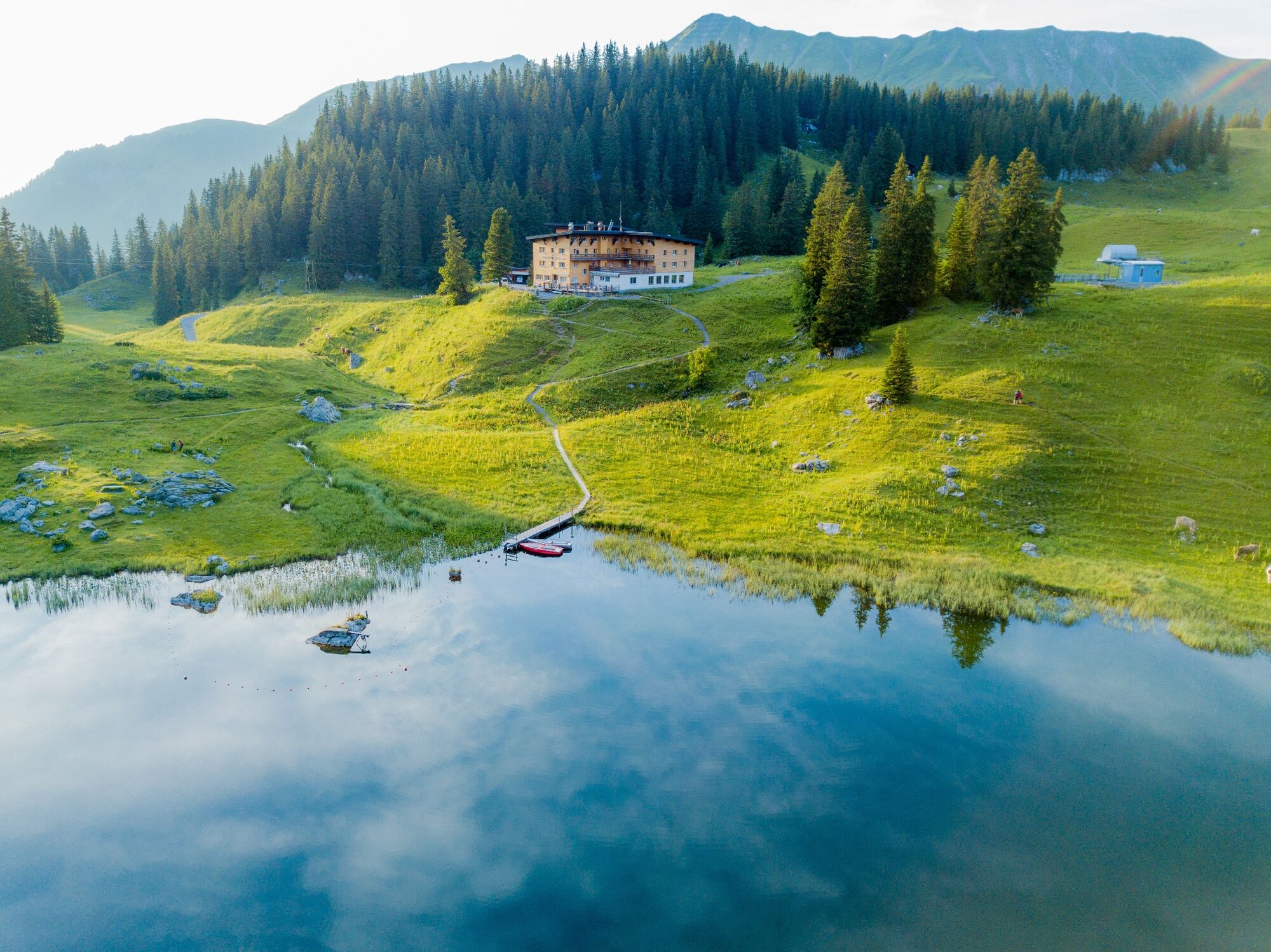
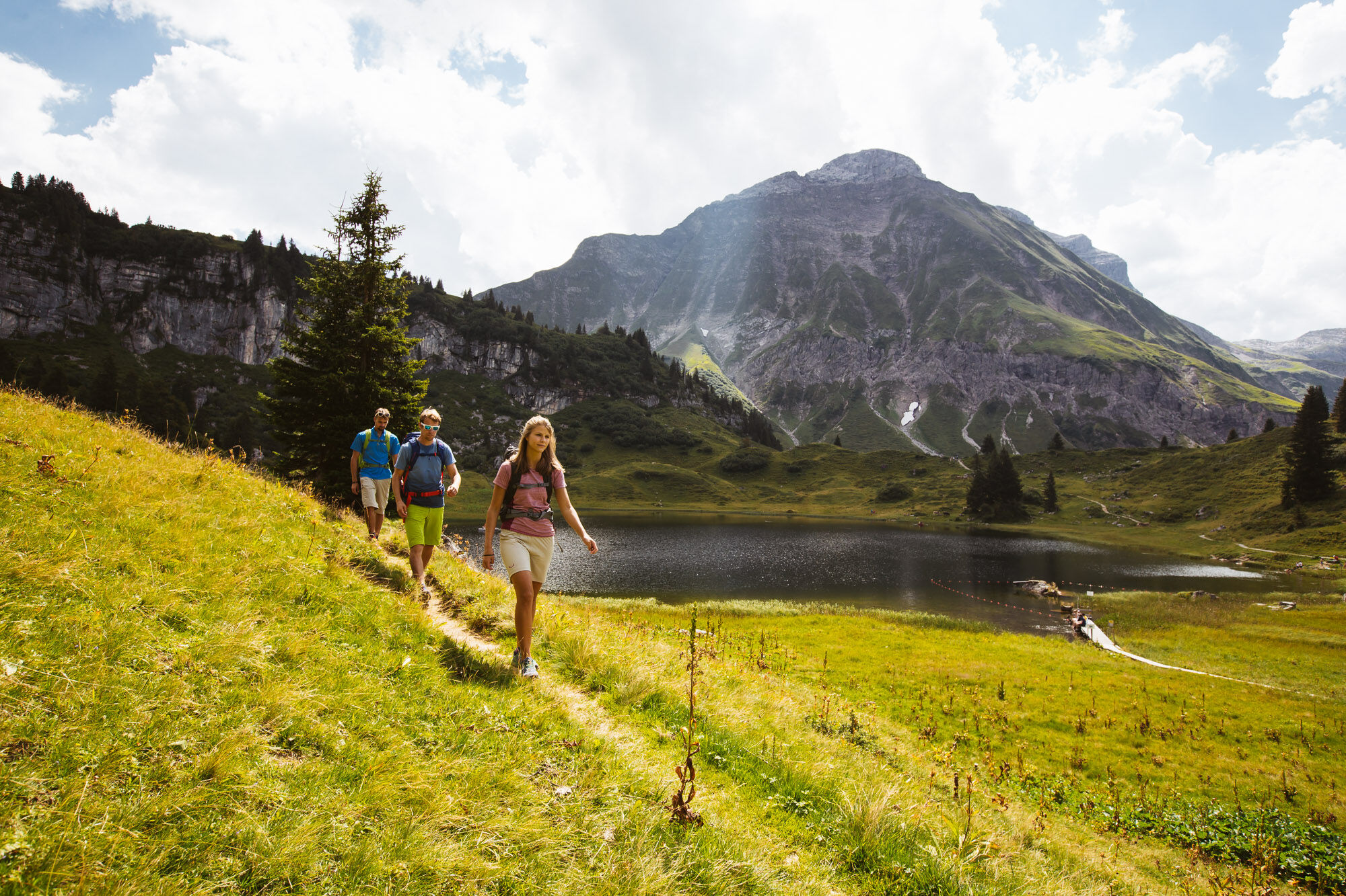
From the Hochtannberg you can hike comfortably to the Lake Körbersee. The pleasant silence at the lake will enchant you, so that you don’t just want to hike past here. Why don’t you stop by the Berghotel Körbersee for a drink? On a narrow footpath, which leads to a wide freight path, you now hike towards Auenfeld. Look at the wonderfully juicy meadows. Going up to the right, the path leads towards Gaisbühlalpe/Oberlech. In Oberlech follow the signs downhill towards Rudalpe/centre Lech.
- Vaikeus
-
tapa
- Arviointi
-
- Reitti
-
Untere Auenfeldalpe4,9 kmÜbungslift Oberlech8,8 kmOberlech9,2 kmBergbahn Lech - Oberlech9,5 kmLech (1.444 m)11,0 km
- Paras kausi
-
tammihelmimaalishuhtitoukokesäheinäelosyyslokamarrasjoulu
- Korkein kohta
- 1.790 m
- Kohde
-
Lech
- Korkeusprofiili
-


- Kirjoittaja
-
Kiertue From the Hochtannbergpass over the Körbersee to Lech käyttää outdooractive.com toimitettu.
GPS Downloads


Yleistä tietoa
Virvokepysäkki
Kulttuuri/Historiallinen
Lupaava
Lisää retkiä alueilla


