
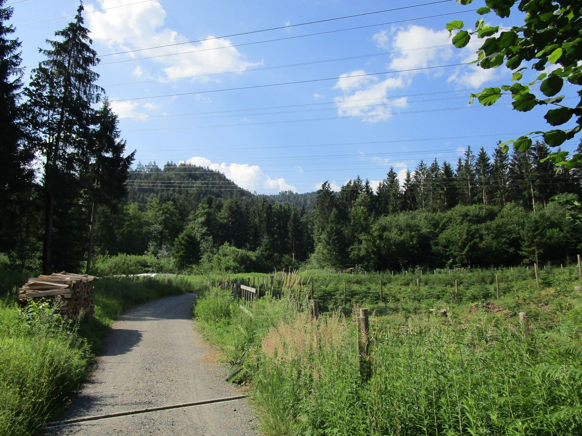
© www.guideservice.at - Erich Zucalli
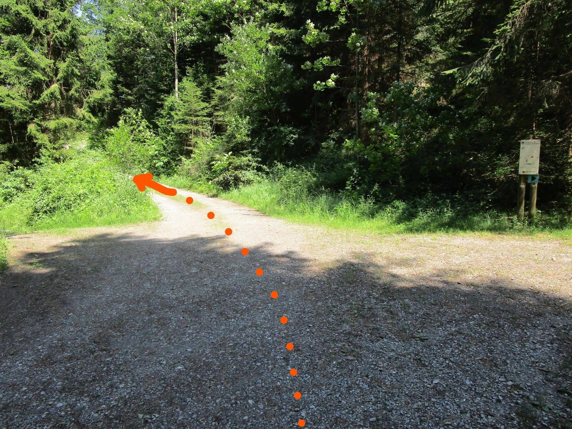
© www.guideservice.at - Erich Zucalli
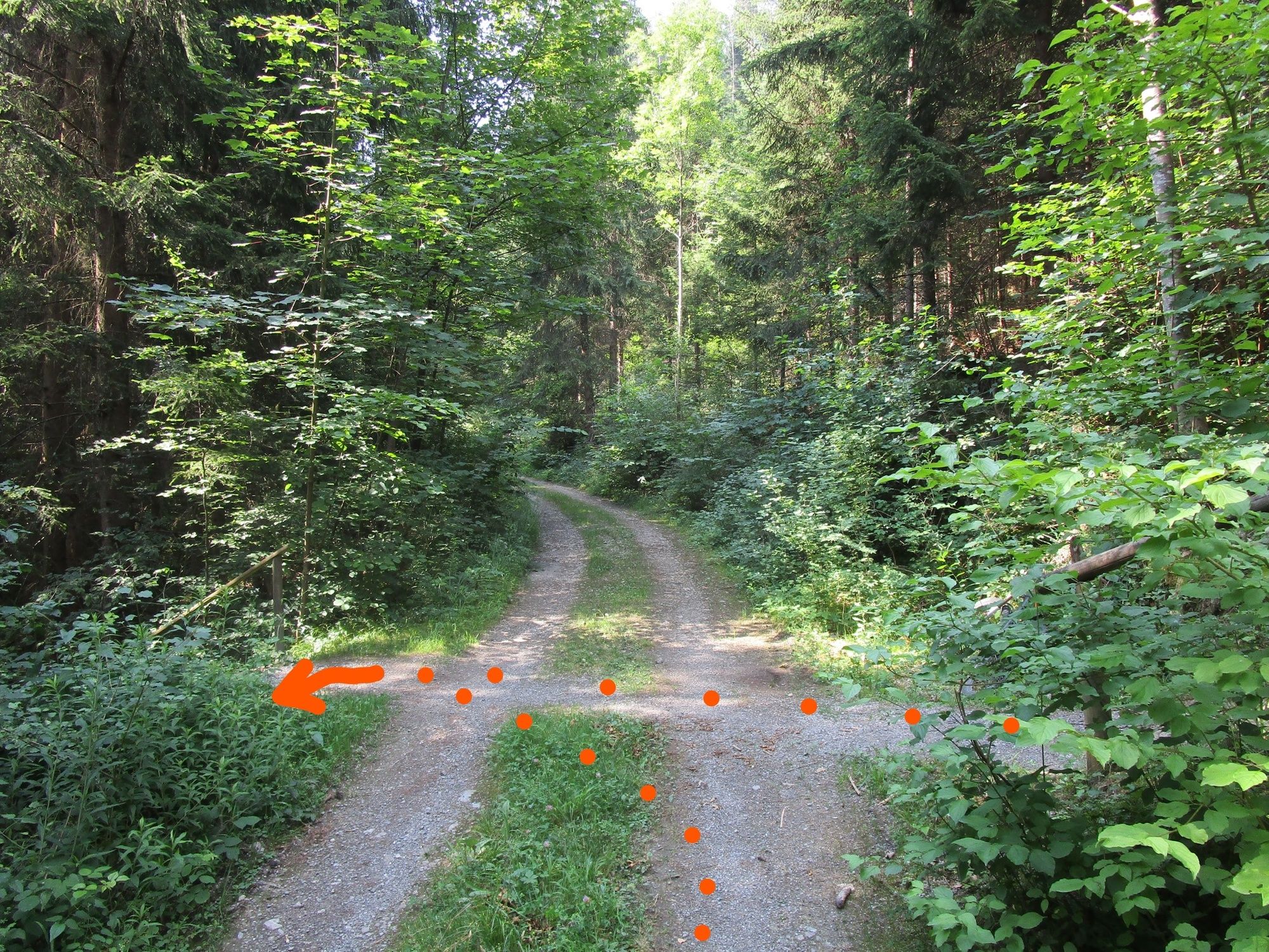
© www.guideservice.at - Erich Zucalli
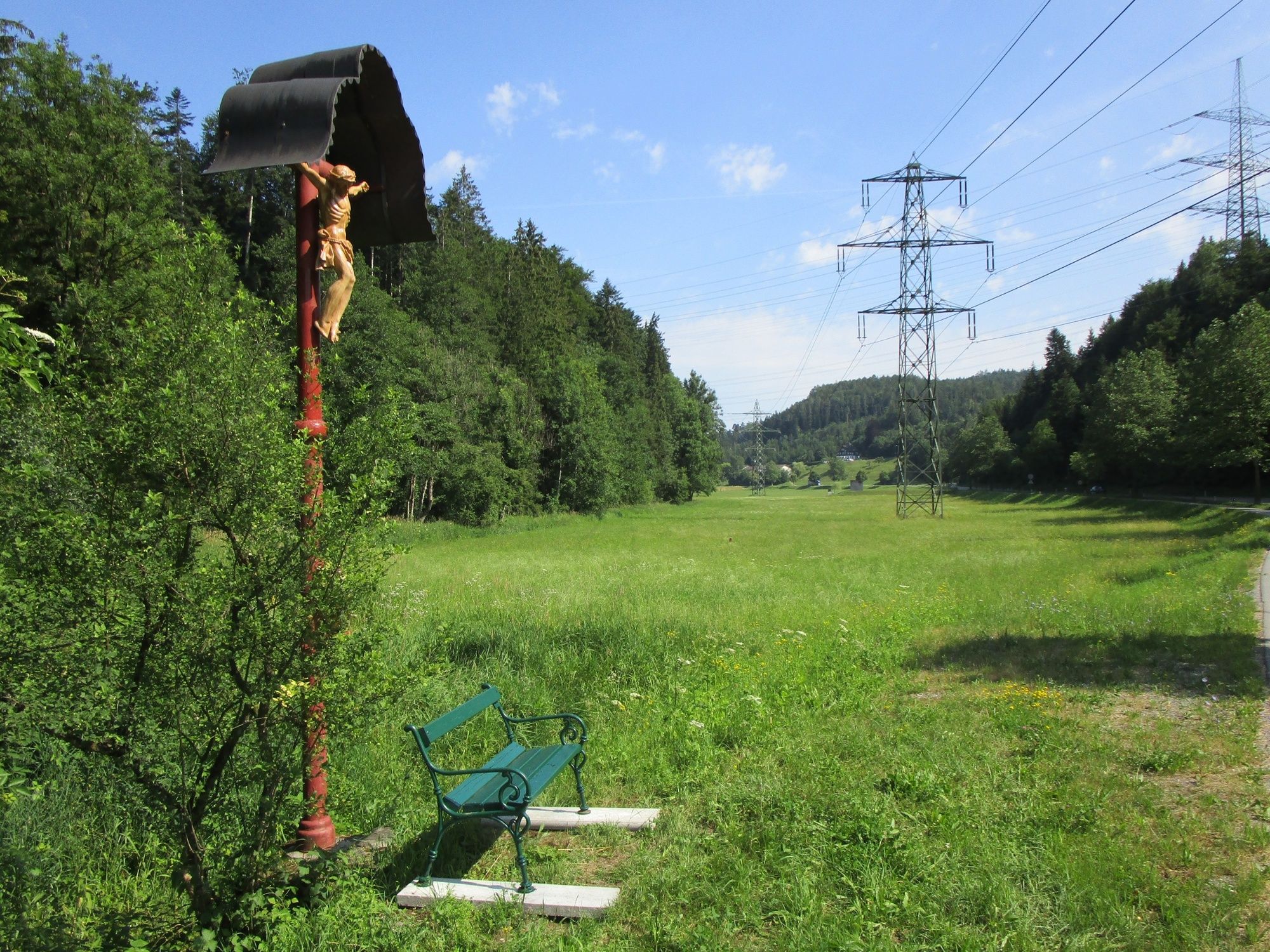
© www. guideservice.at - Erich Zucalli

© www.guideservice.at - Erich Zucalli
© www.guideservice.at - Erich Zucalli
© www.guideservice.at - Erich Zucalli
© www.guideservice.at - Erich Zucalli
© www.guideservice.at - Erich Zucalli
© www.guideservice.at - Erich Zucalli

- Lyhyt kuvaus
-
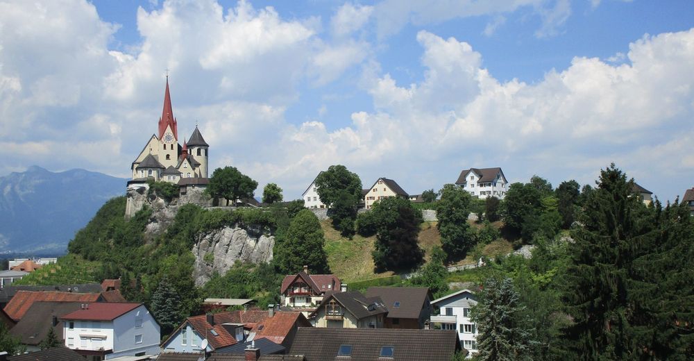
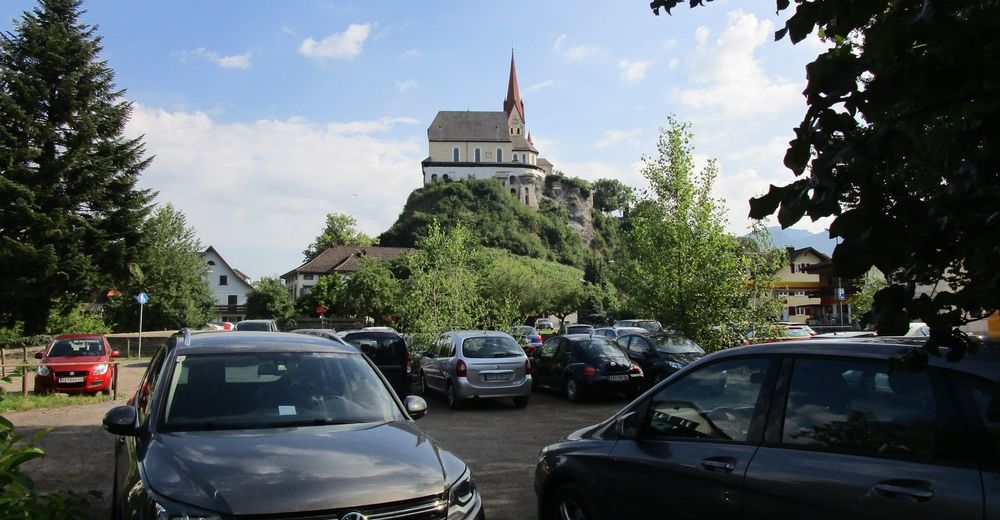
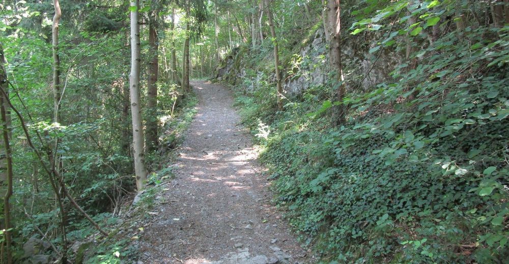
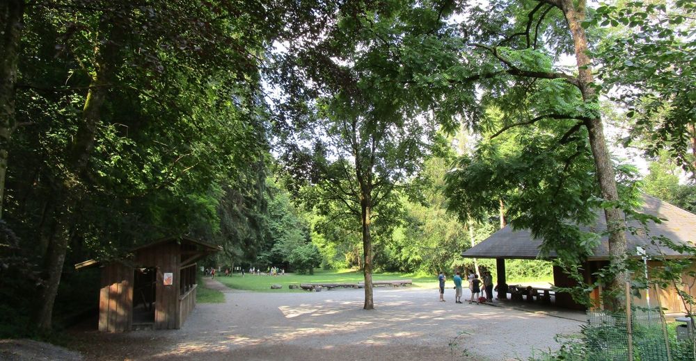
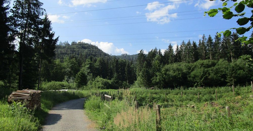
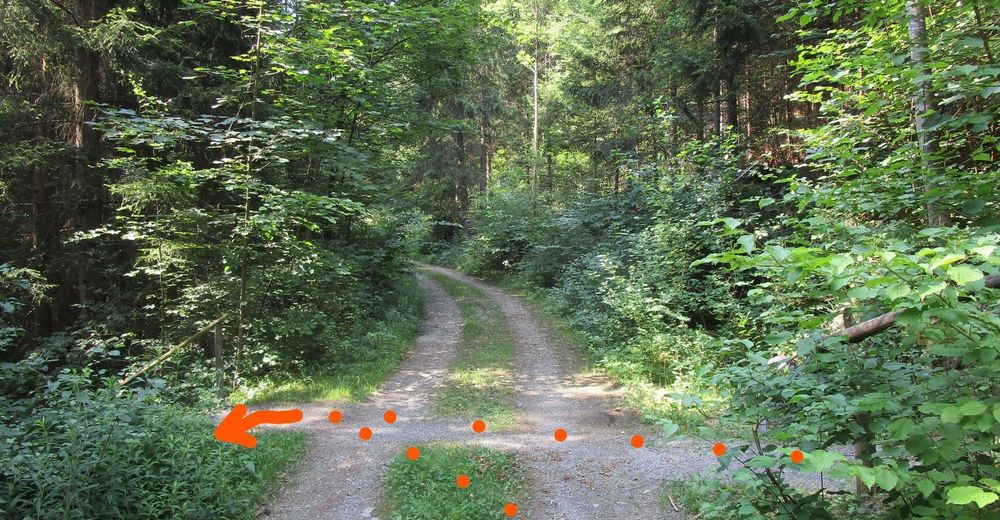
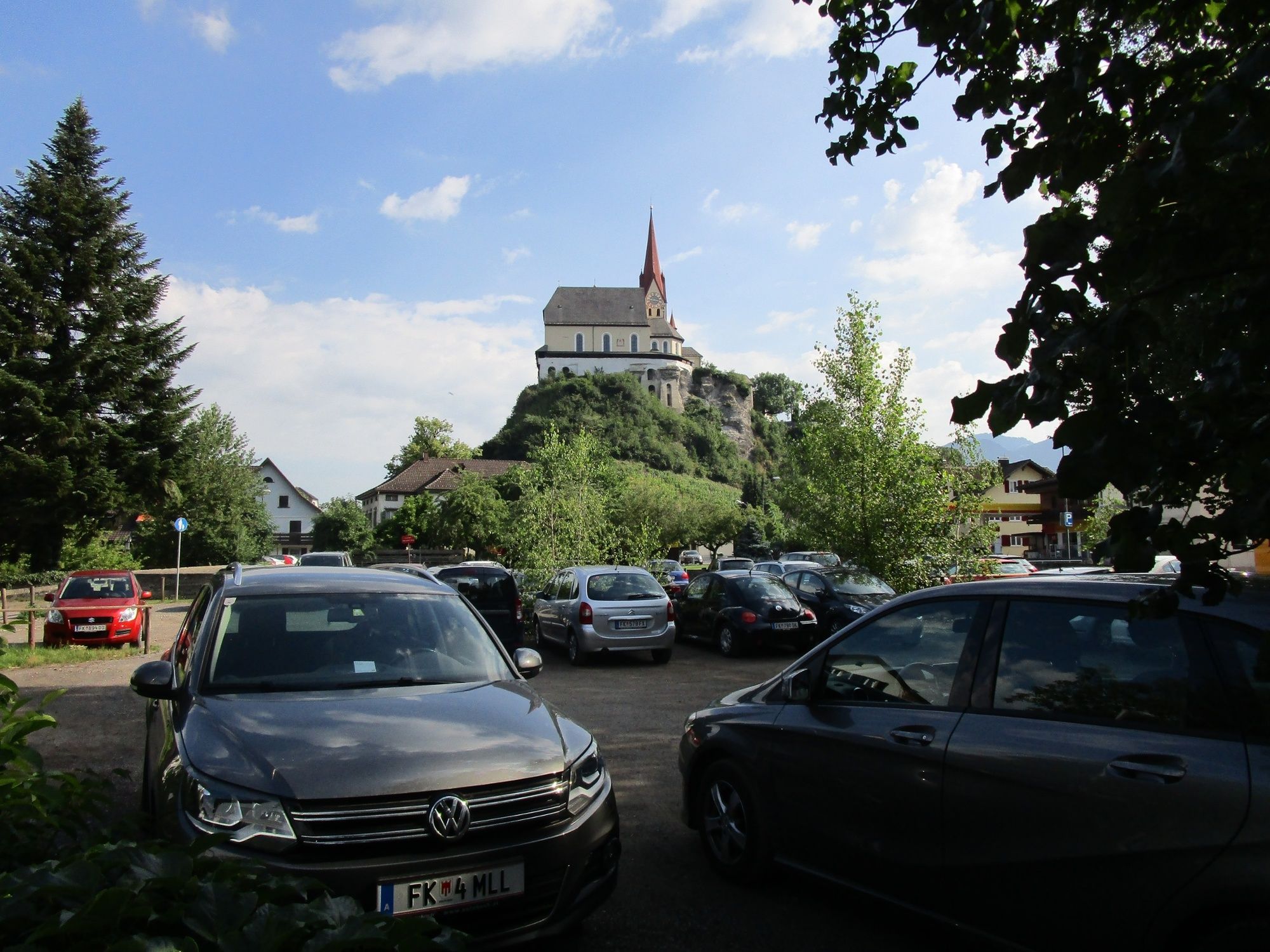
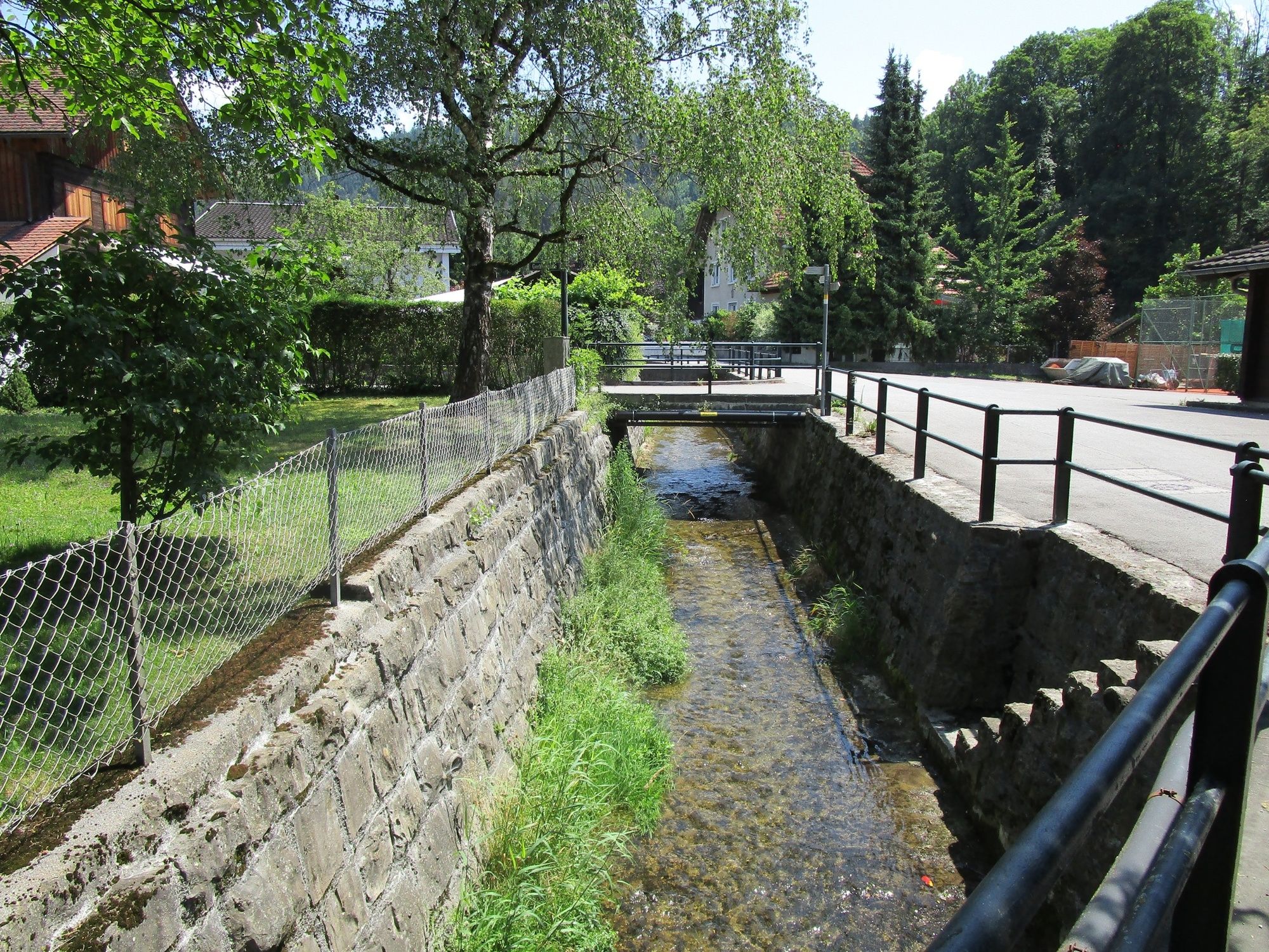
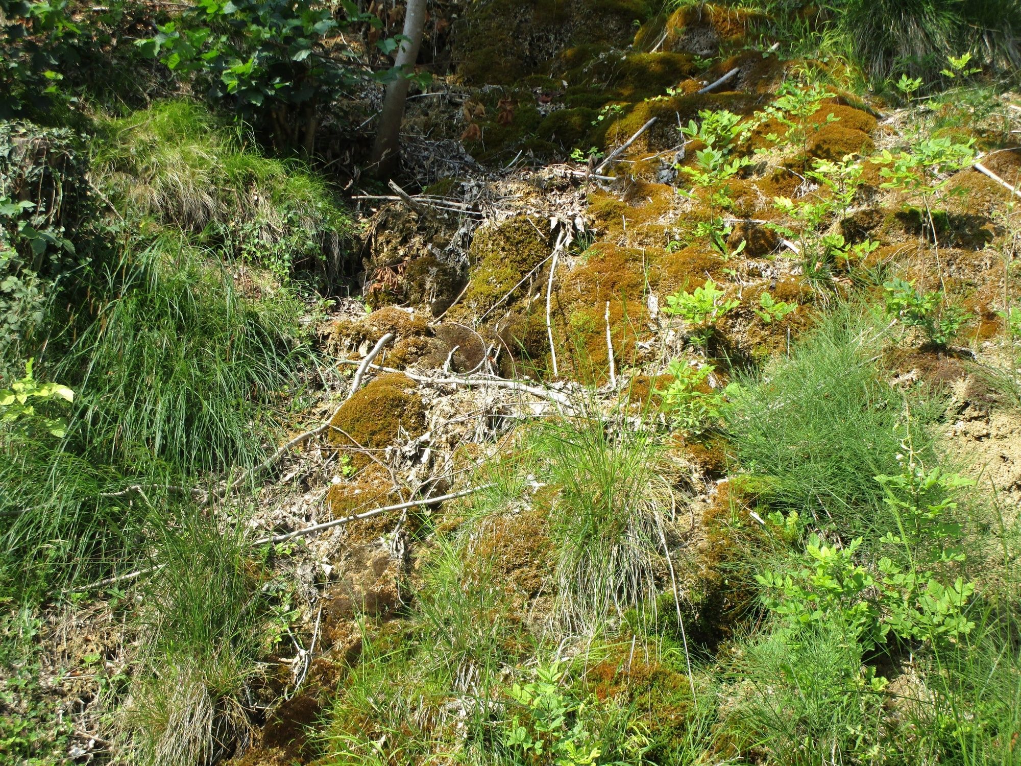
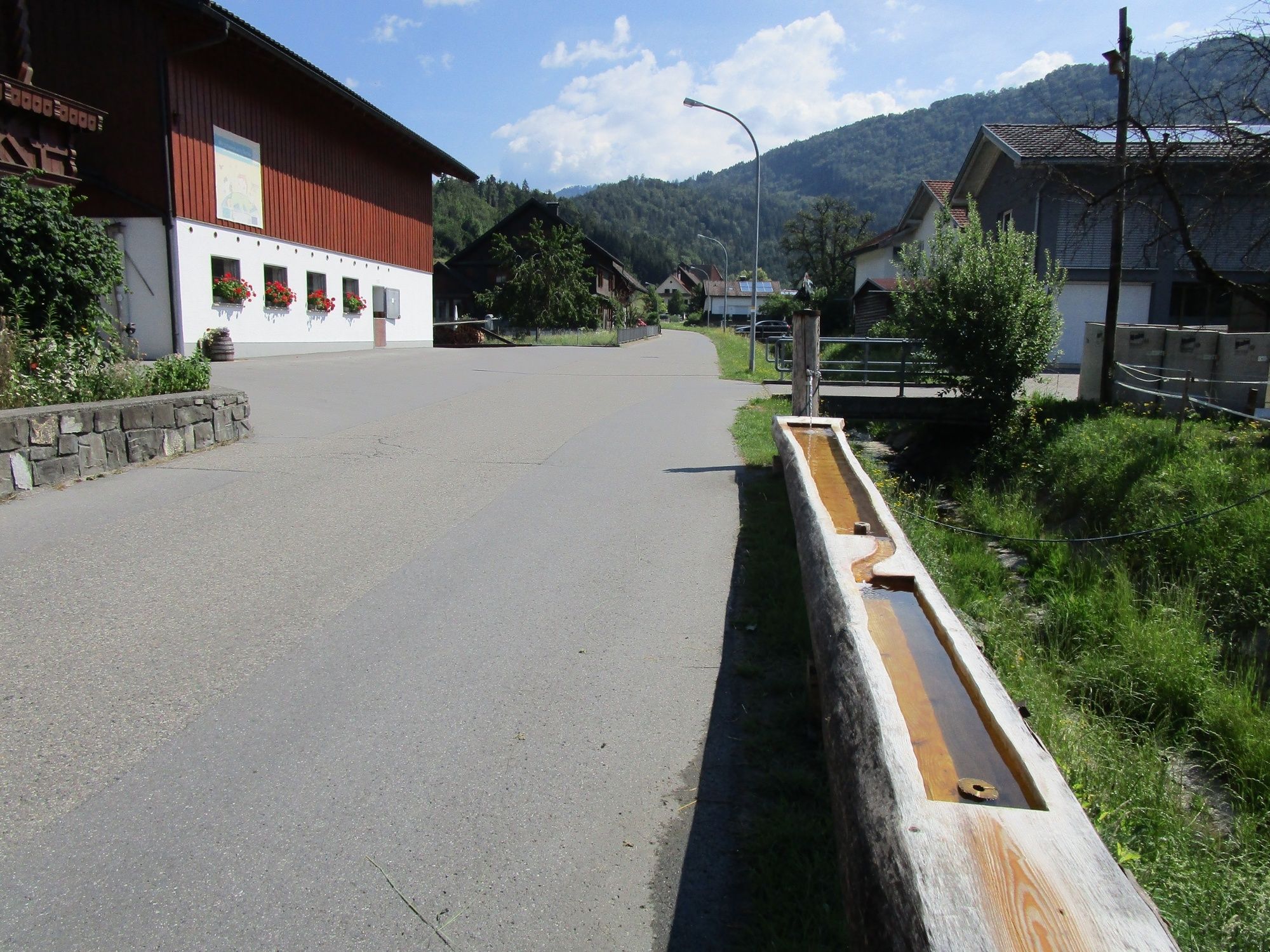
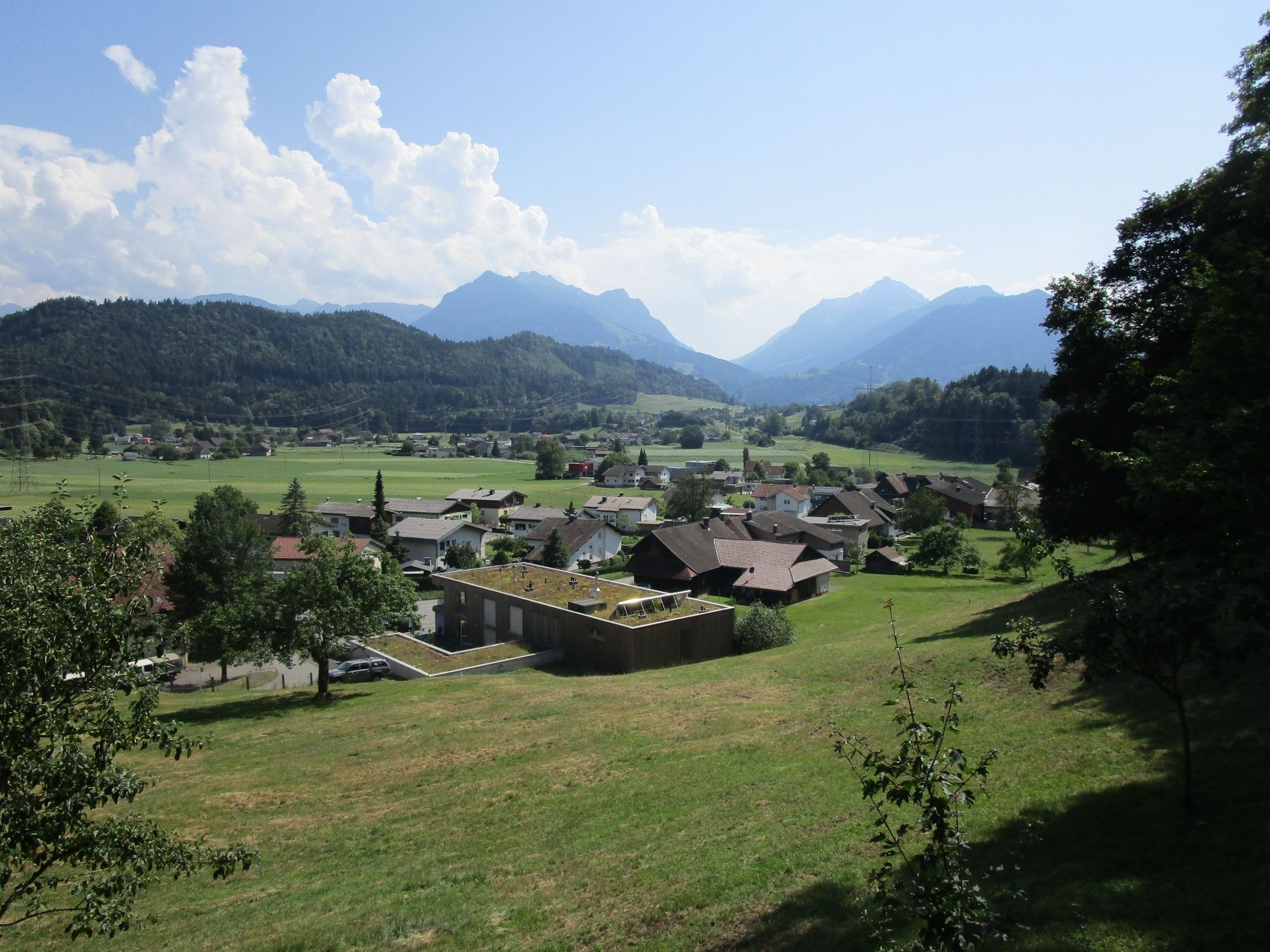
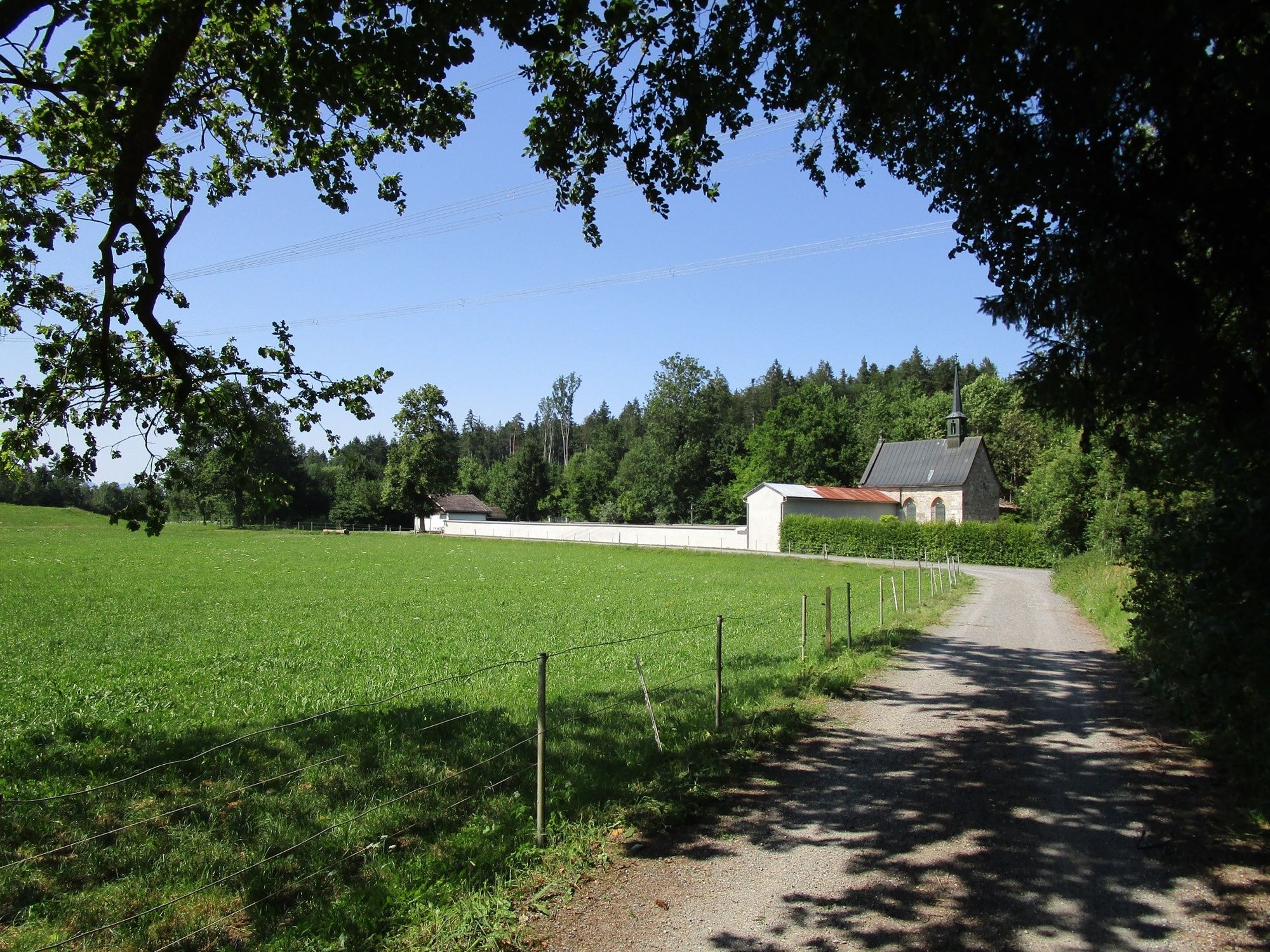
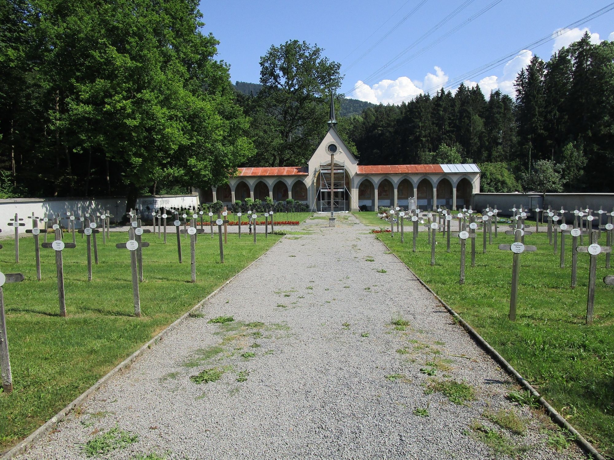
From the starting point across Schafplatz to Tufers, up to the plain of Egeta with Valduna cemetery and via the Pfarrschrofen back to the starting point.
- Vaikeus
-
tapa
- Arviointi
-
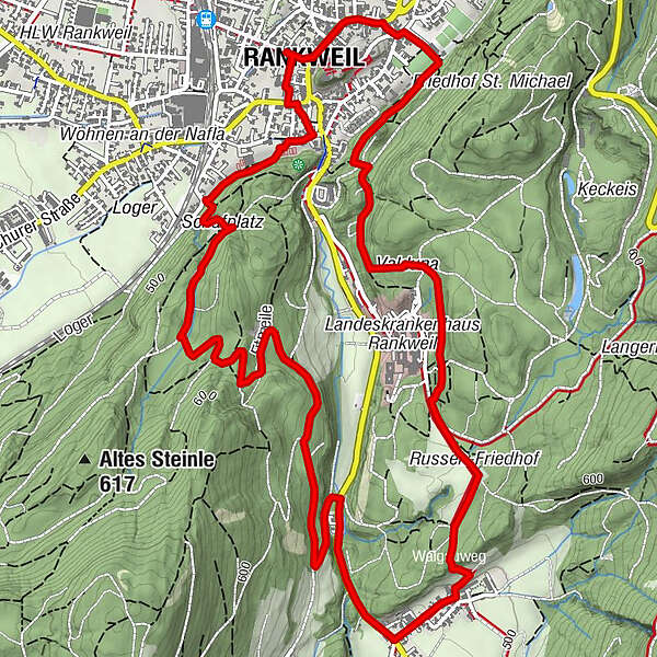
- Reitti
-
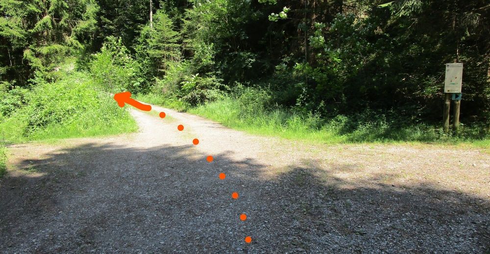
Peterskirche0,1 kmRiedle1,6 kmNesslersbühel2,7 kmTillis3,1 kmQuadrescha3,5 kmWalserholz5,2 kmEgata5,7 kmKriasibühel6,2 kmAm Zoll7,1 kmPfarrschrofenausblick7,3 kmRankweil8,3 km
- Paras kausi
-
tammihelmimaalishuhtitoukokesäheinäelosyyslokamarrasjoulu
- Korkein kohta
- 552 m
- Kohde
-
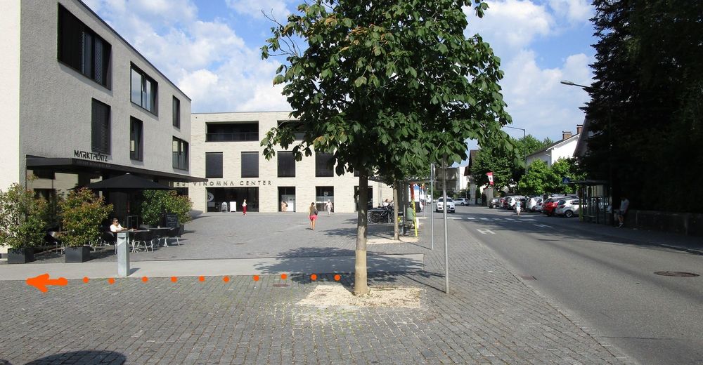
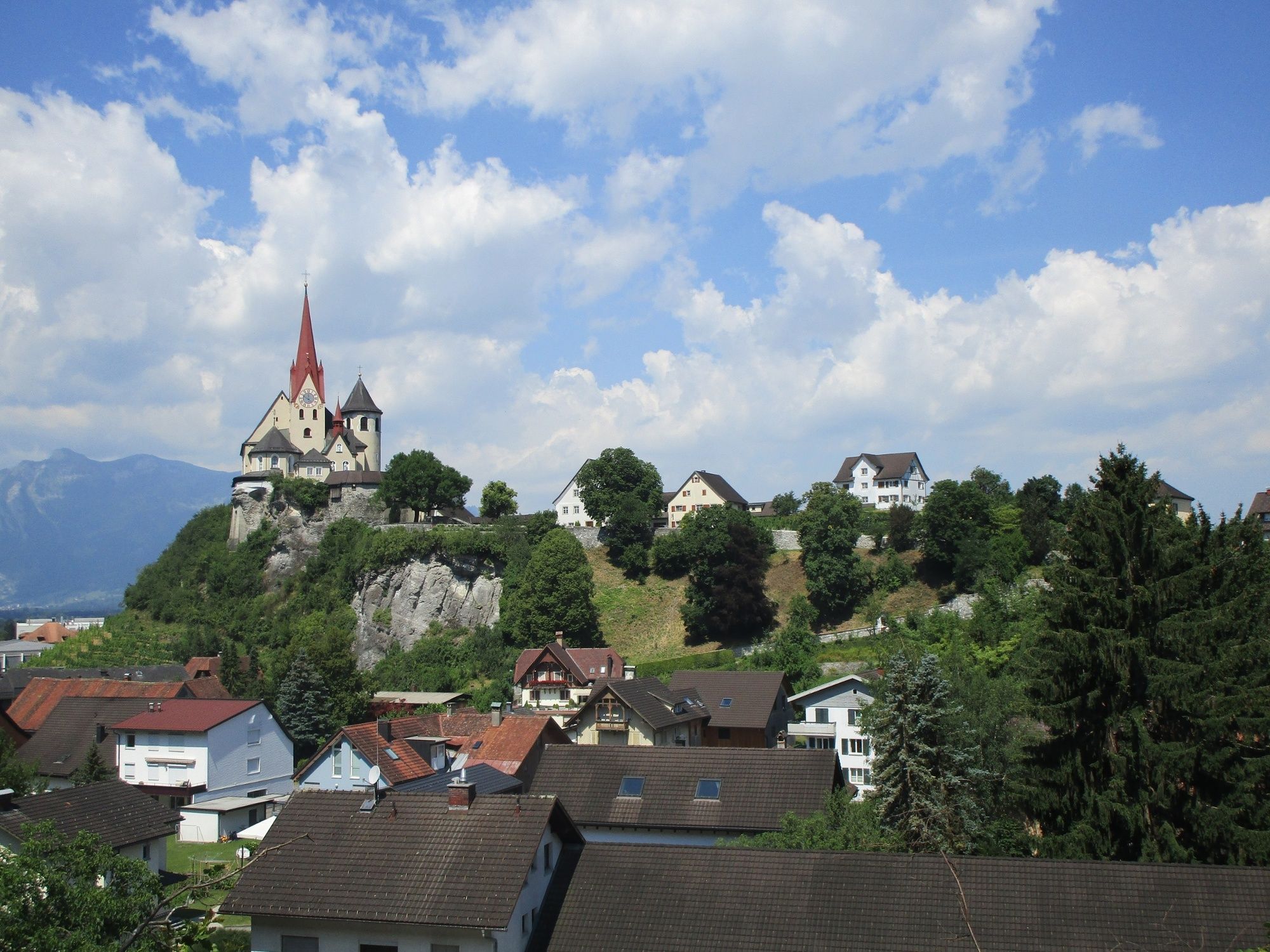
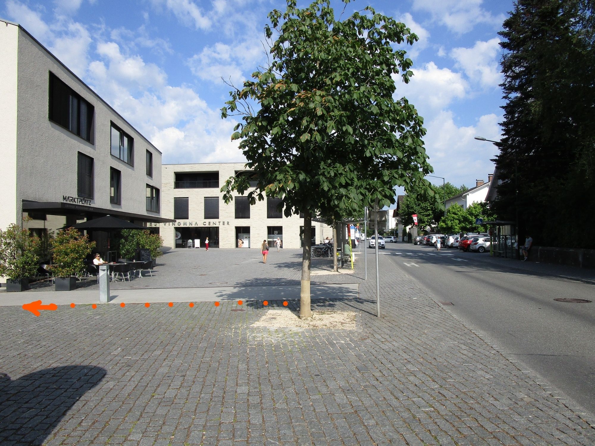
Rankweil Marktplatz
- Korkeusprofiili
-


- Kirjoittaja
-
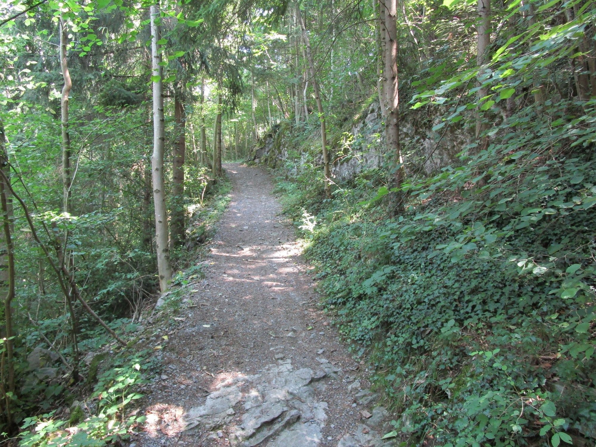
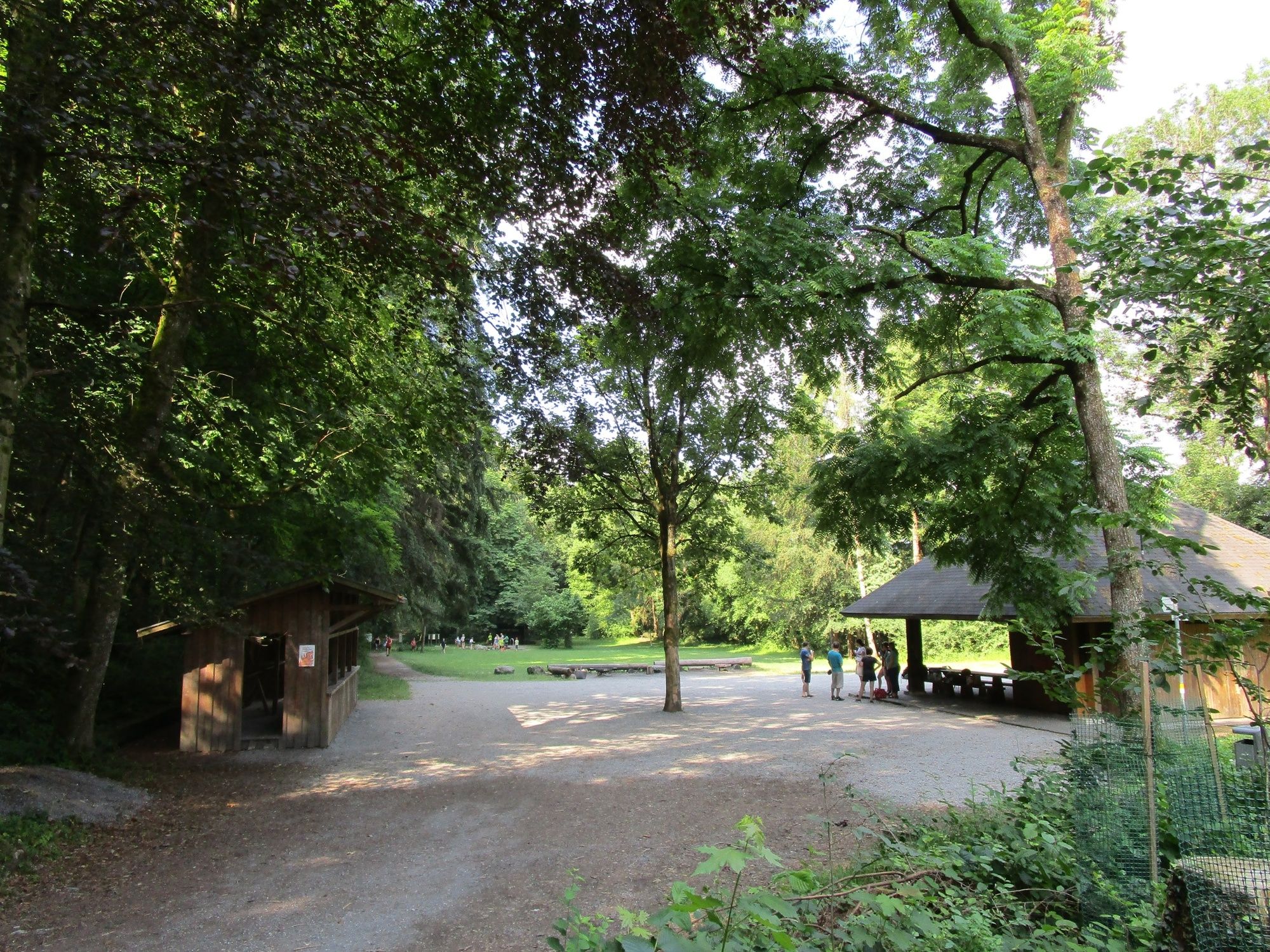
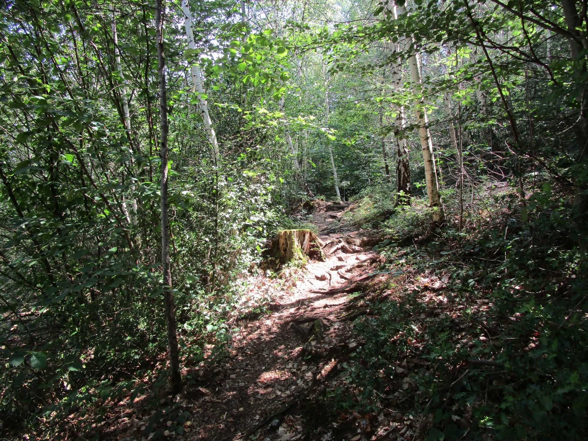
Kiertue A leisurely hike through the shady forests of Rankweil käyttää outdooractive.com toimitettu.
GPS Downloads


Yleistä tietoa
Virvokepysäkki
Kulttuuri/Historiallinen
Lisää retkiä alueilla
-
St. Gallen - Bodensee
2070
-
St. Galler Rheintal
1336
-
Rankweil
322


