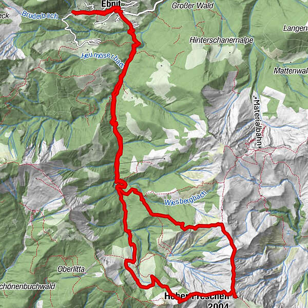
Bike & Hike: Ebnit - Valüragrat - Hoher Freschen - Binnelgrat - Ebnit

Retkitiedot
18,2km
919
- 2.004m
1.157hm
1.157hm
04:13h
- Lyhyt kuvaus
-
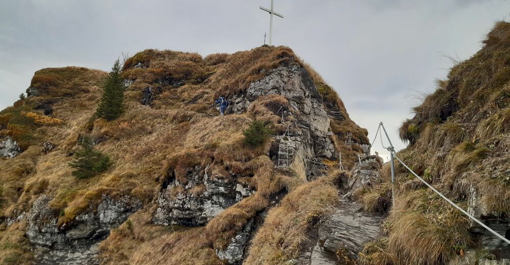
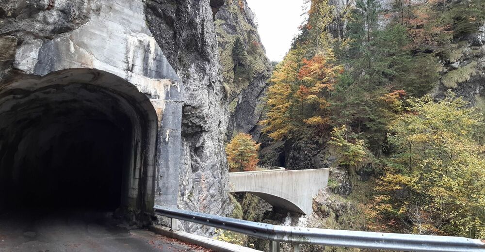
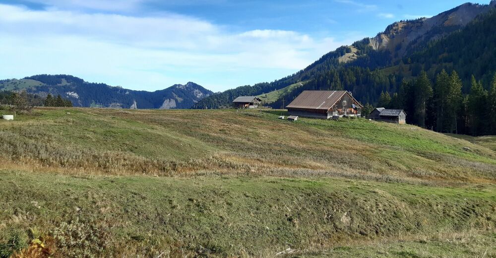
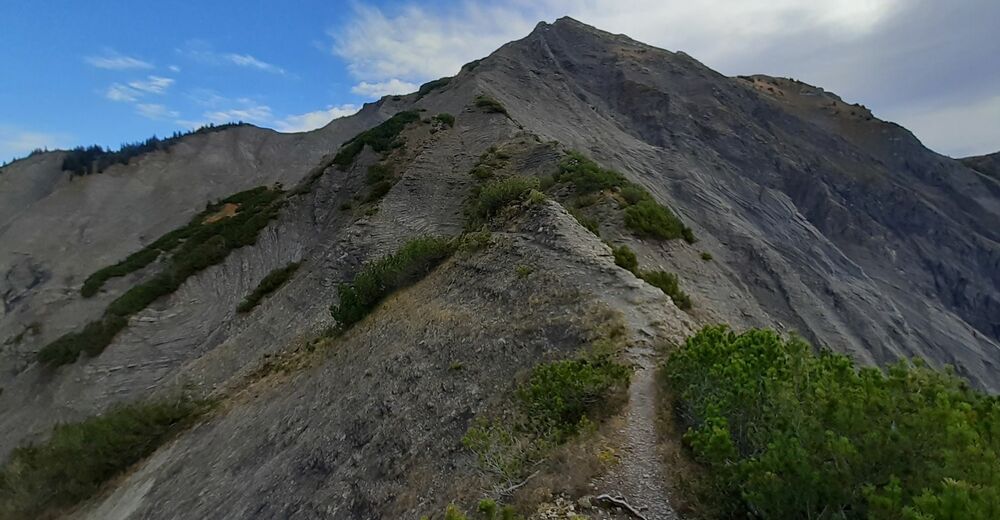
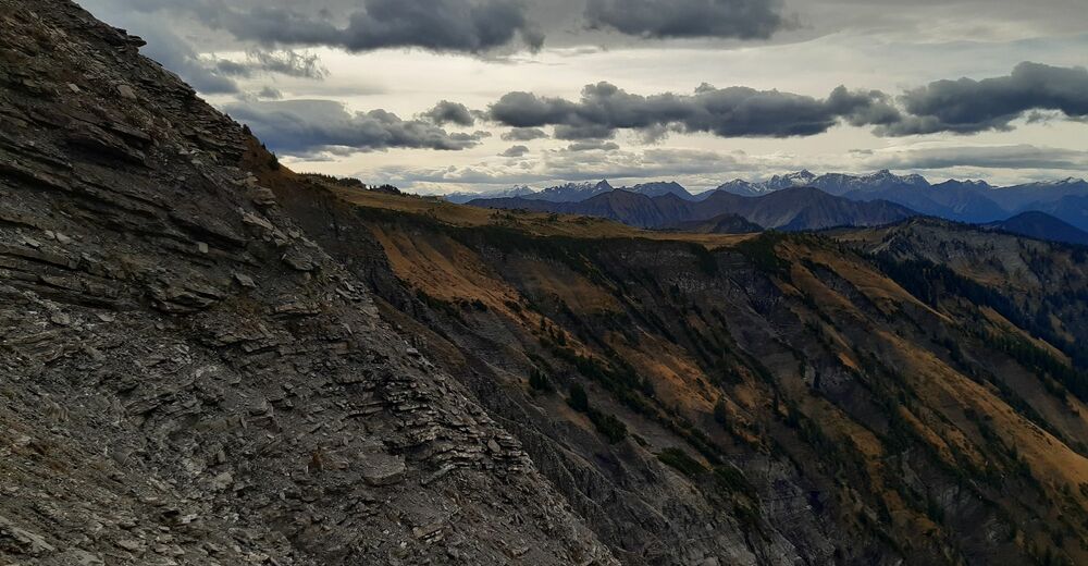
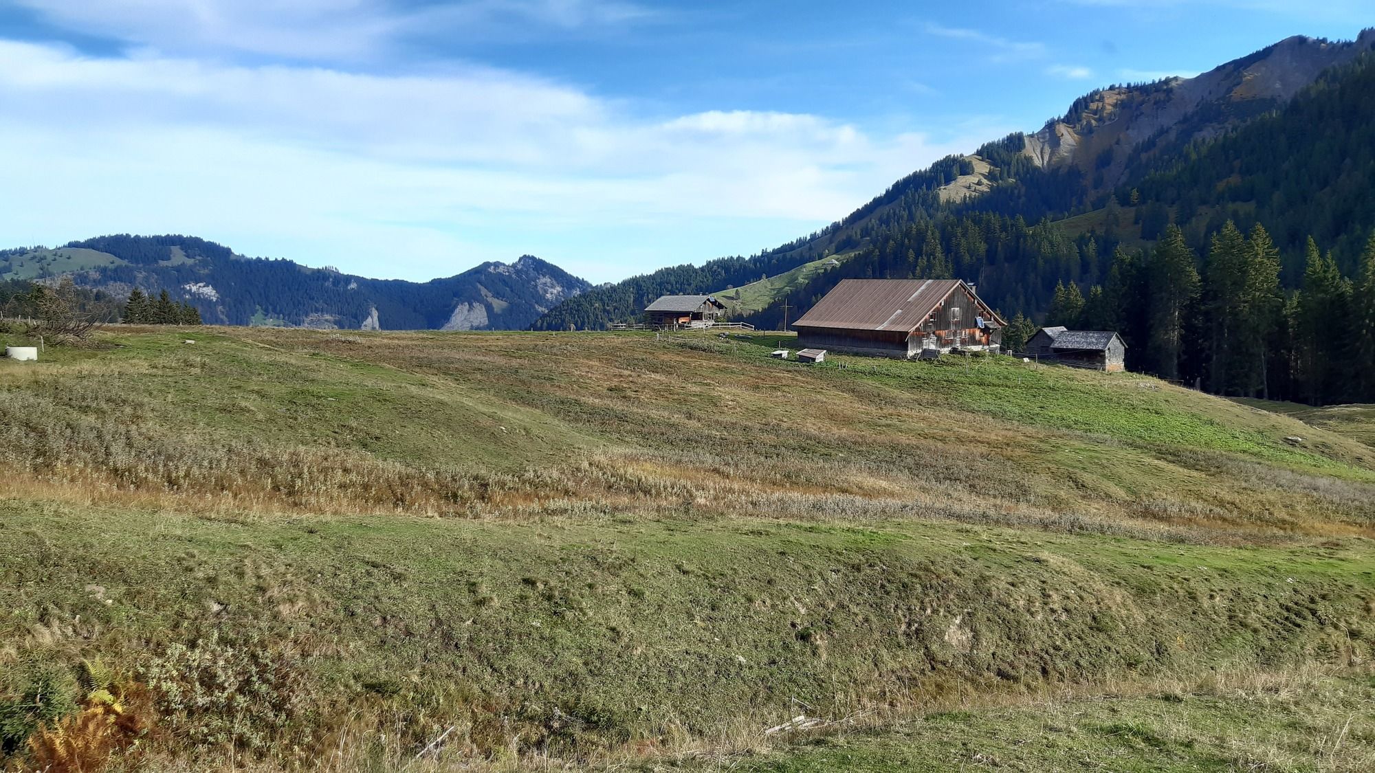
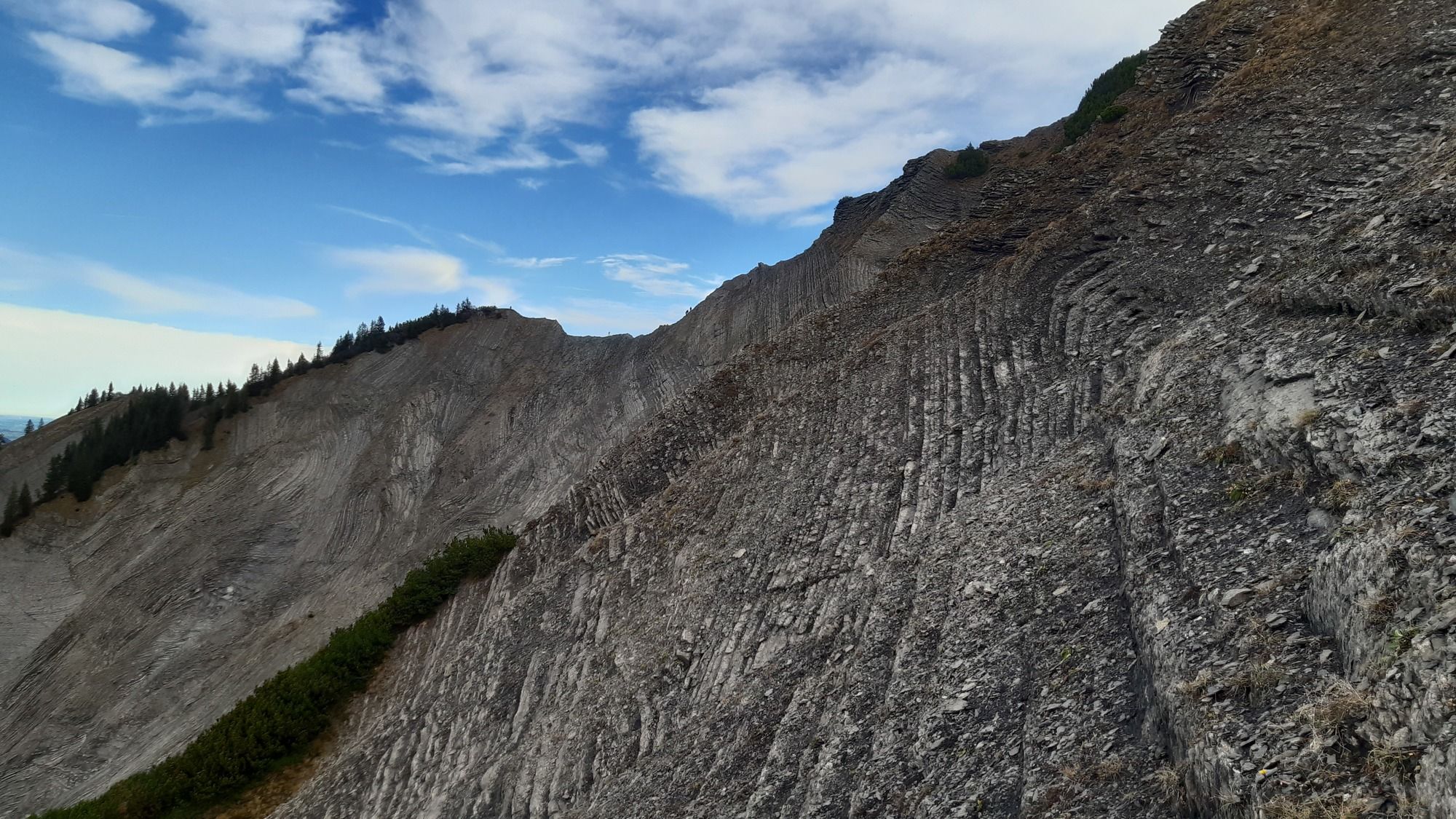
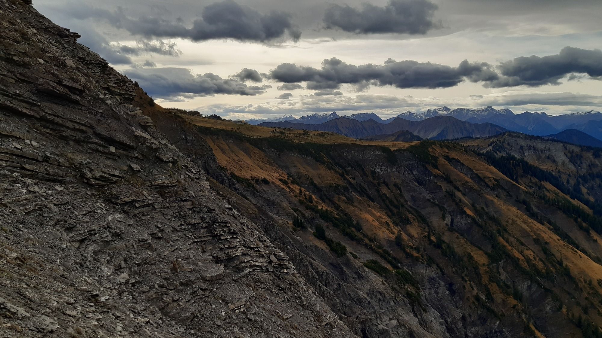
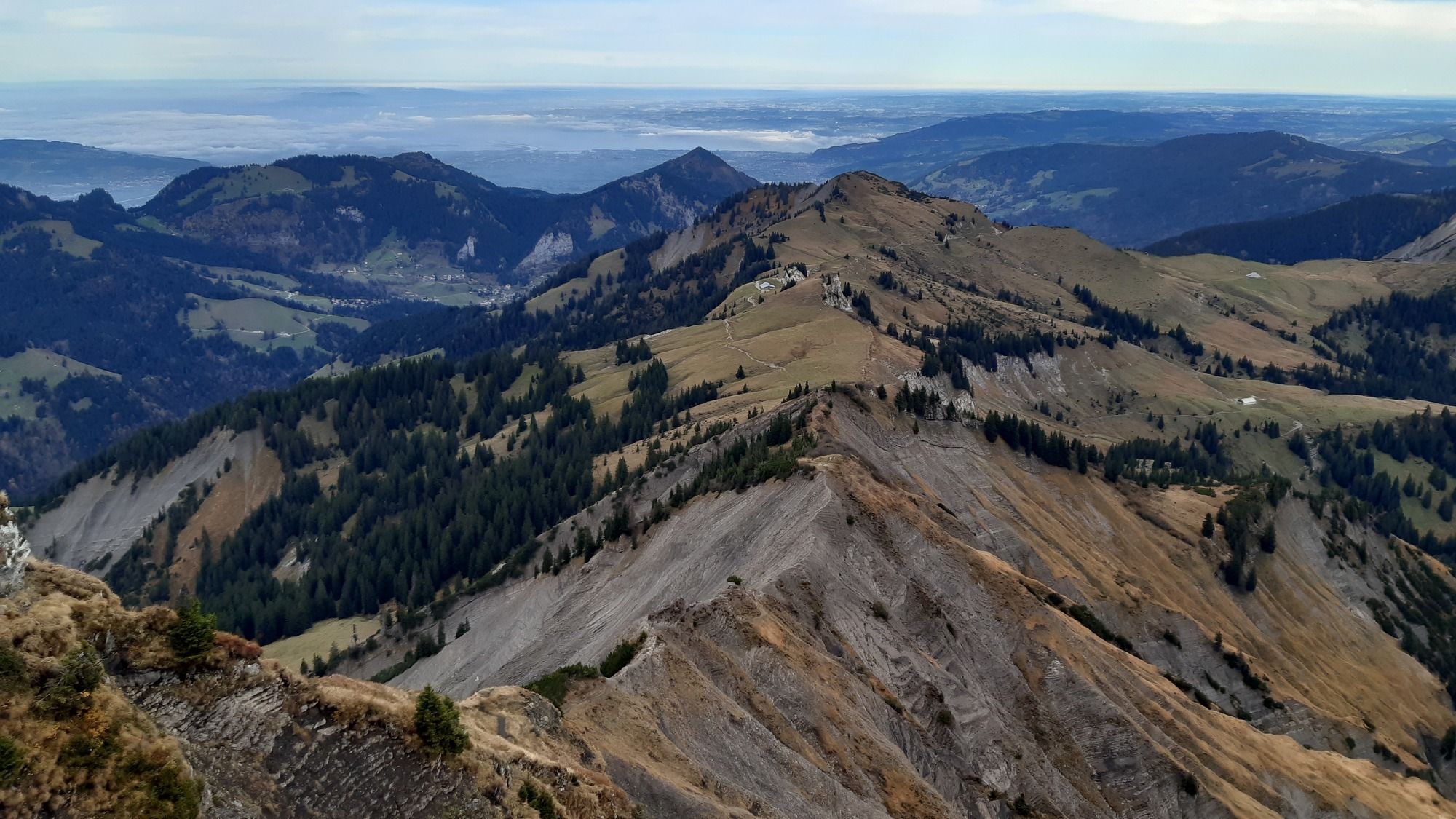
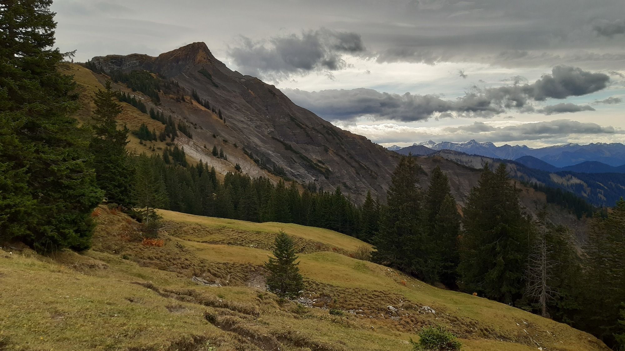
Von Ebnit über den Valüragrat auf den Hohen Freschen und über den Binnelgrat zurück nach Ebnit.
- Vaikeus
-
tapa
- Arviointi
-
- Lähtöpiste
-
Ebnit Kirche
- Reitti
-
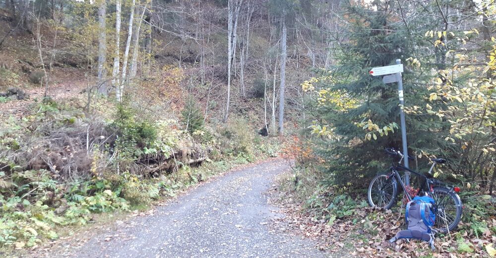
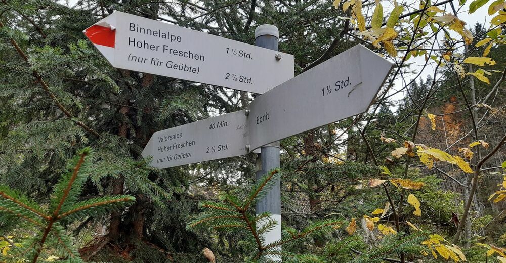
Alpenrose0,1 kmEbnit (1.075 m)0,6 kmValorsalpe6,5 kmHoher Freschen (2.004 m)9,5 kmEbnit (1.075 m)17,5 kmAlpenrose18,0 km
- Paras kausi
-
tammihelmimaalishuhtitoukokesäheinäelosyyslokamarrasjoulu
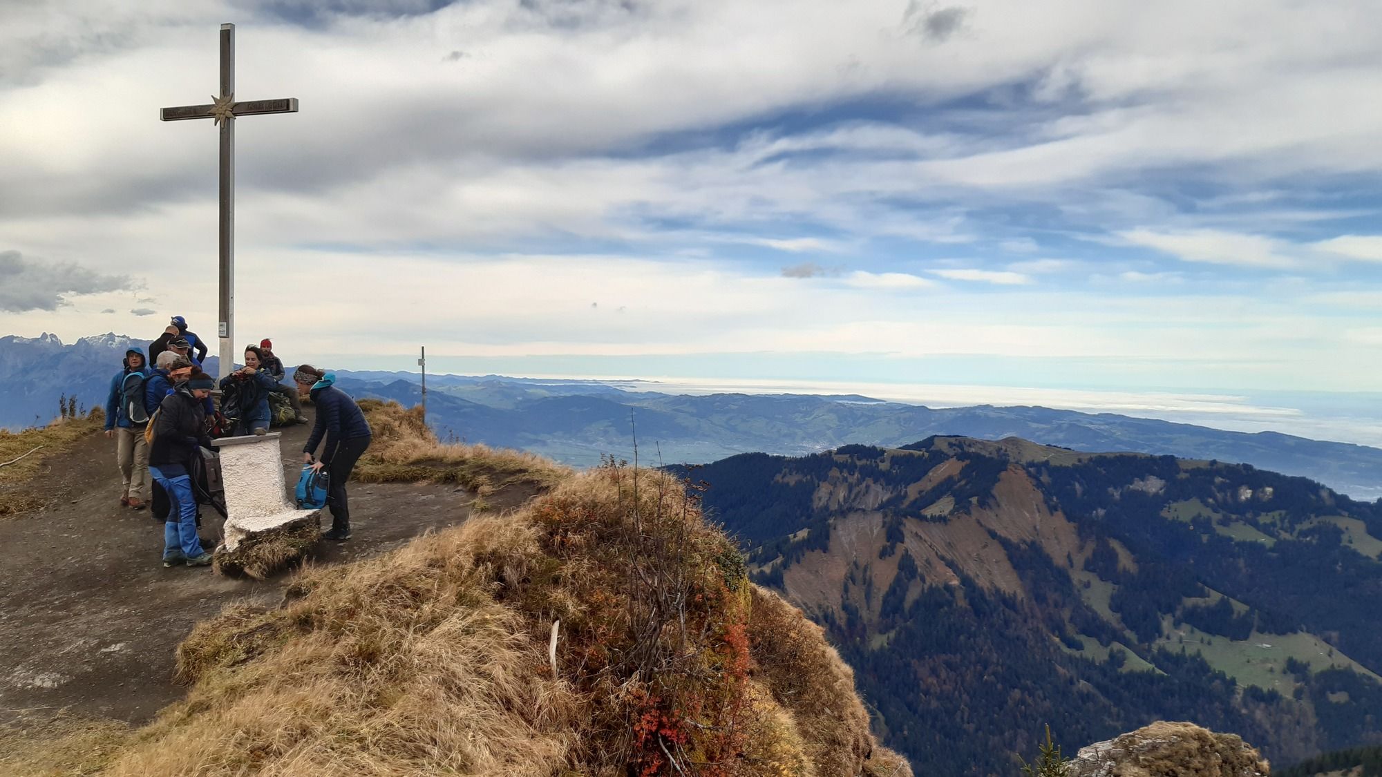
- Korkein kohta
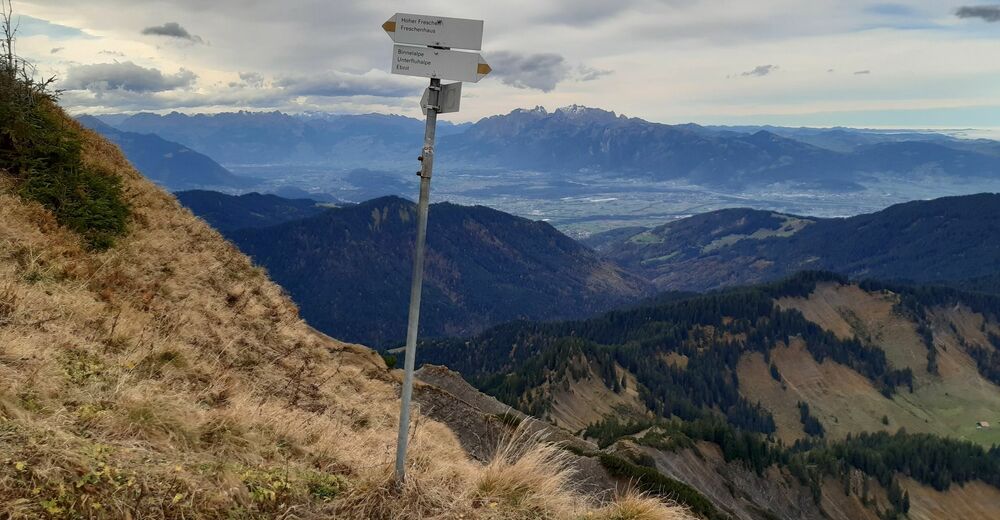
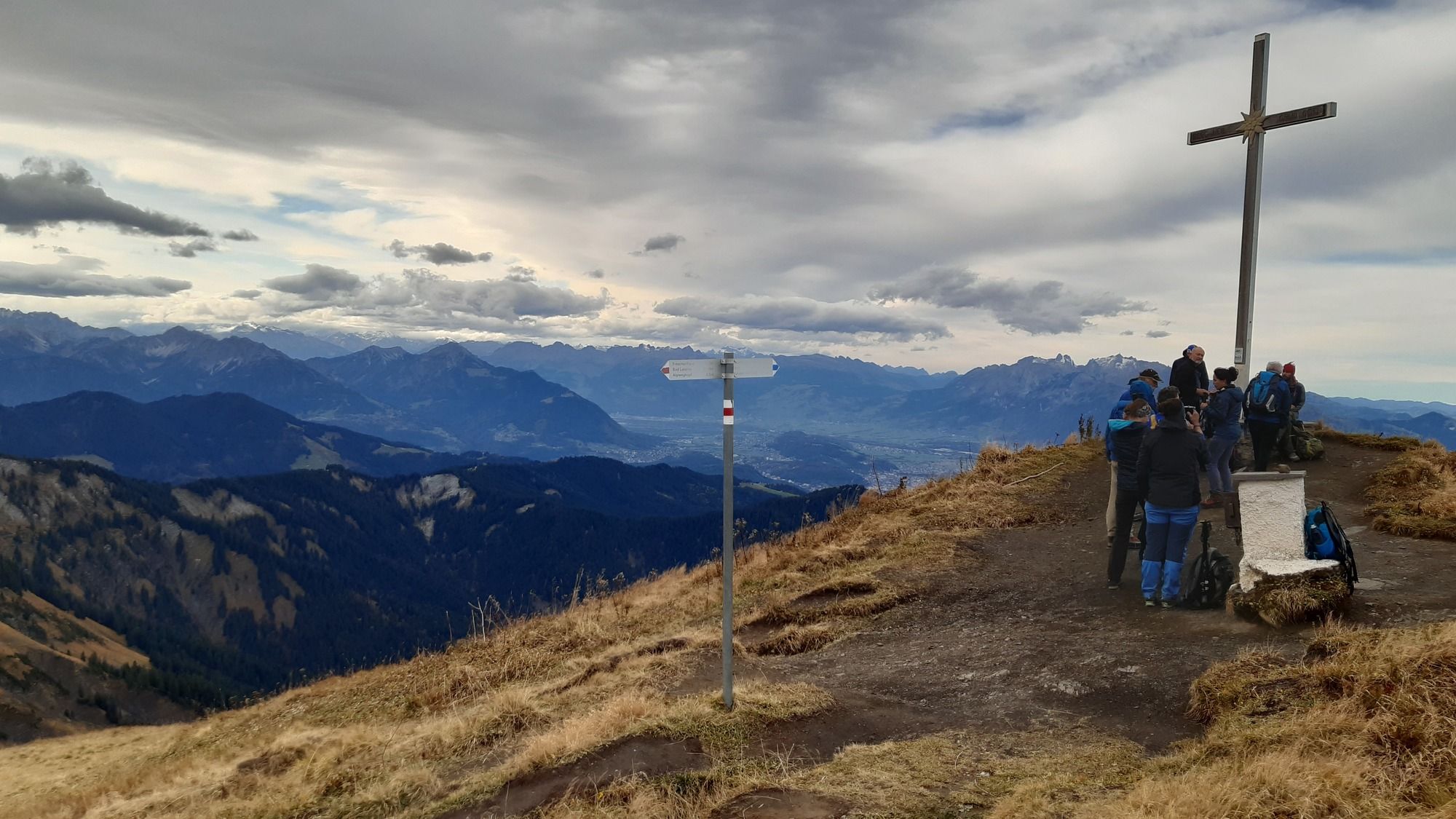
- Hoher Freschen (2.004 m)
- Kohde
-
Hoher Freschen
- Lepo/Retriitti
-
Unterwegs keine Einkehrmöglichkeit, erst wieder in Ebnit.
- Karttamateriaali
-
Kompass Wanderkarte 292, Karte1, "Vorarlberg", 1:50000


- Lähde
- Bernd Elsner
GPS Downloads


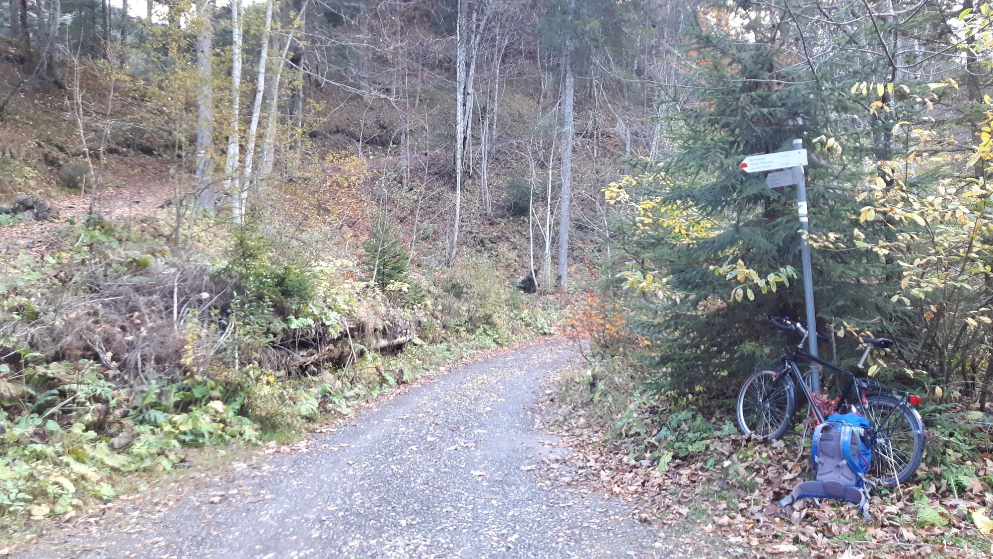
Polun olosuhteet
Asfaltti
Sora
(10 km)
Niitty
(20%)
Metsä
(40%)
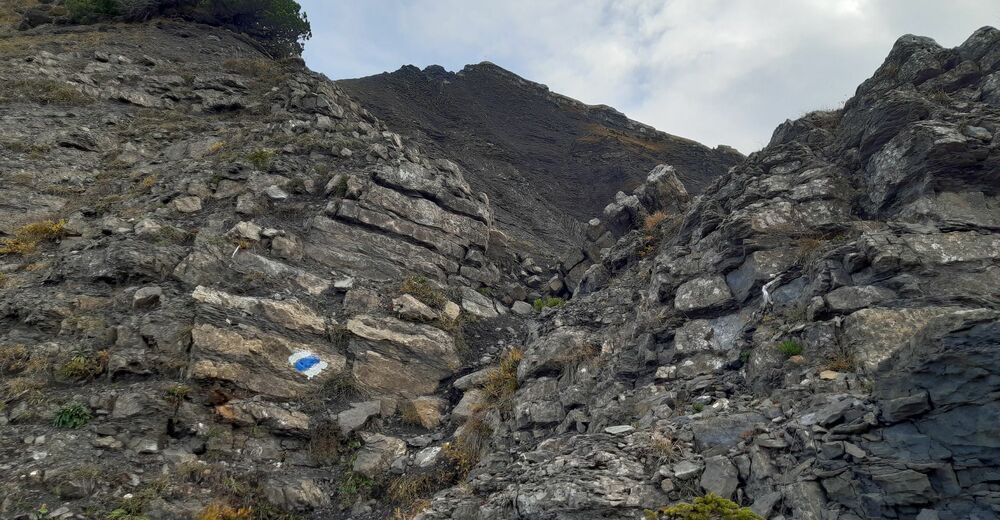
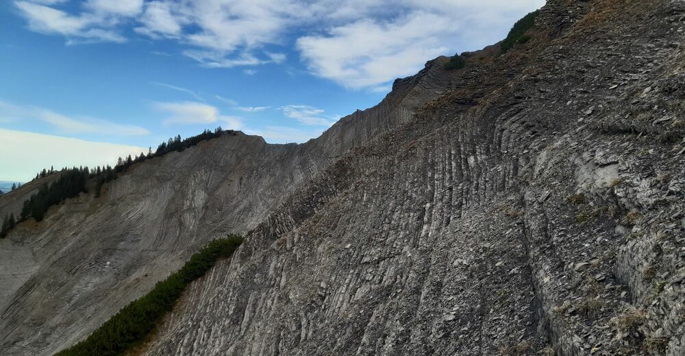
Kallio
(30%)
Altistettu
(10%)
Lisää retkiä alueilla
-
St. Gallen - Bodensee
2067
-
Alpenregion Vorarlberg
1773
-
Laterns-Gapfohl
442


