© Lech Zürs Tourismus GmbH - Lech Zuers Tourismus GmbH
© Lech Zürs Tourismus GmbH - Lech Zuers Tourismus GmbH
© Lech Zürs Tourismus GmbH - Lech Zuers Tourismus GmbH
© Lech Zürs Tourismus GmbH - Lech Zuers Tourismus GmbH
© Lech Zürs Tourismus GmbH - Lech Zuers Tourismus GmbH
© Lech Zürs Tourismus GmbH - Lech Zuers Tourismus GmbH
- Lyhyt kuvaus
-
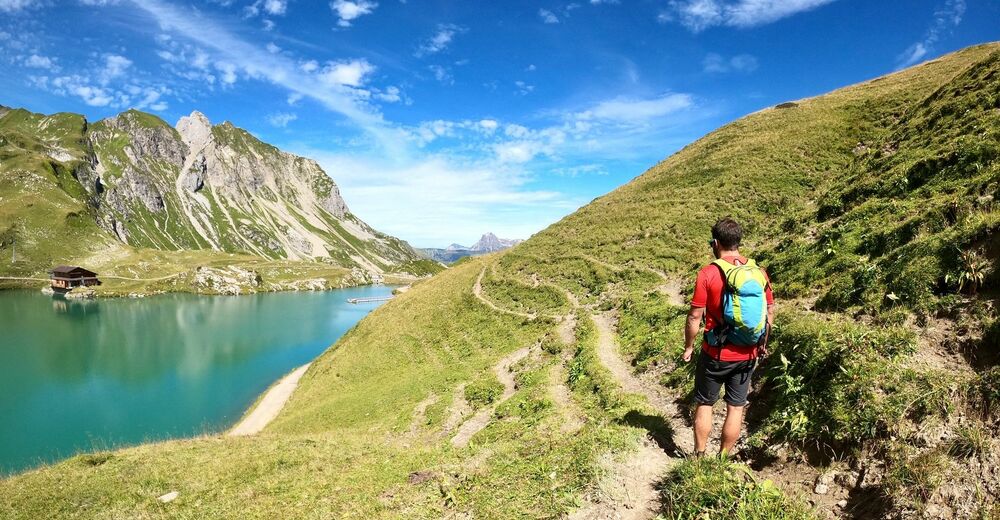
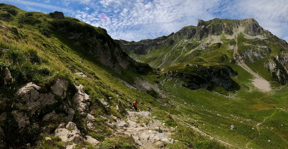
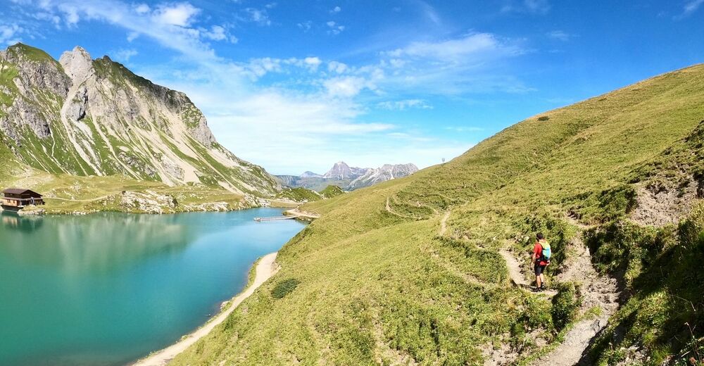
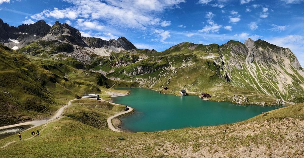
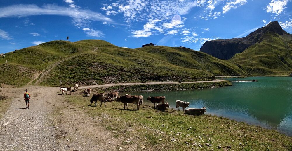
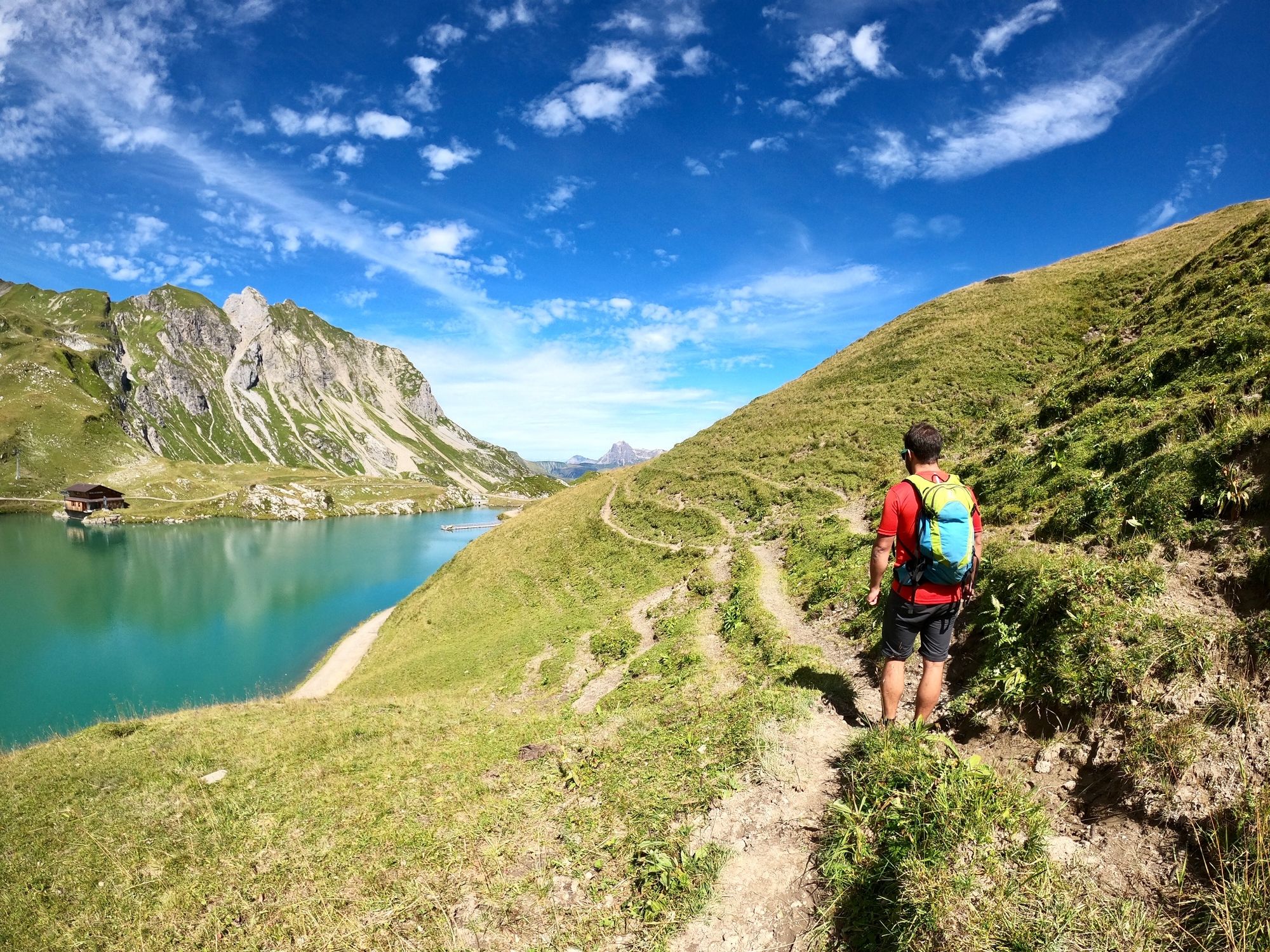
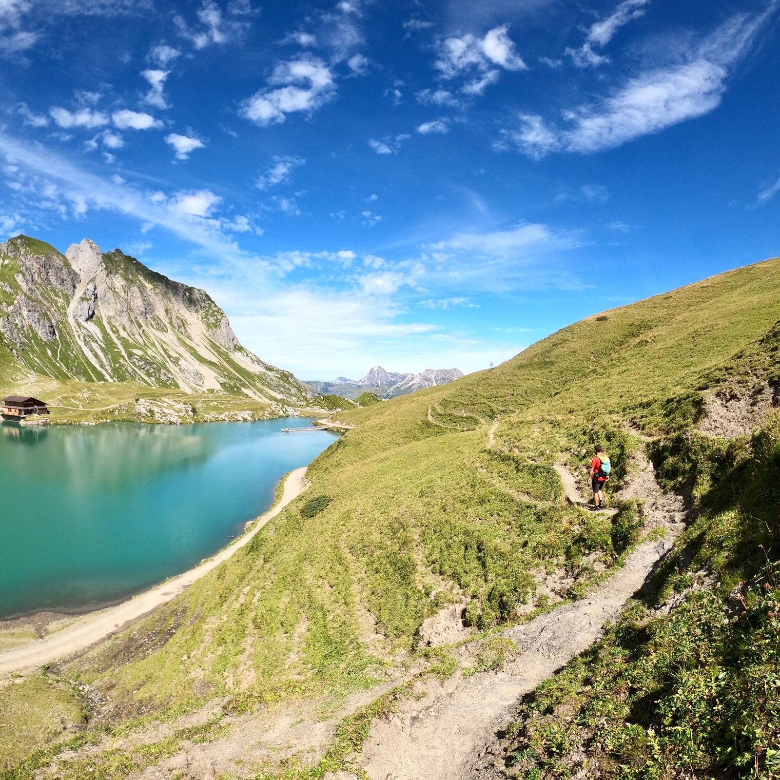
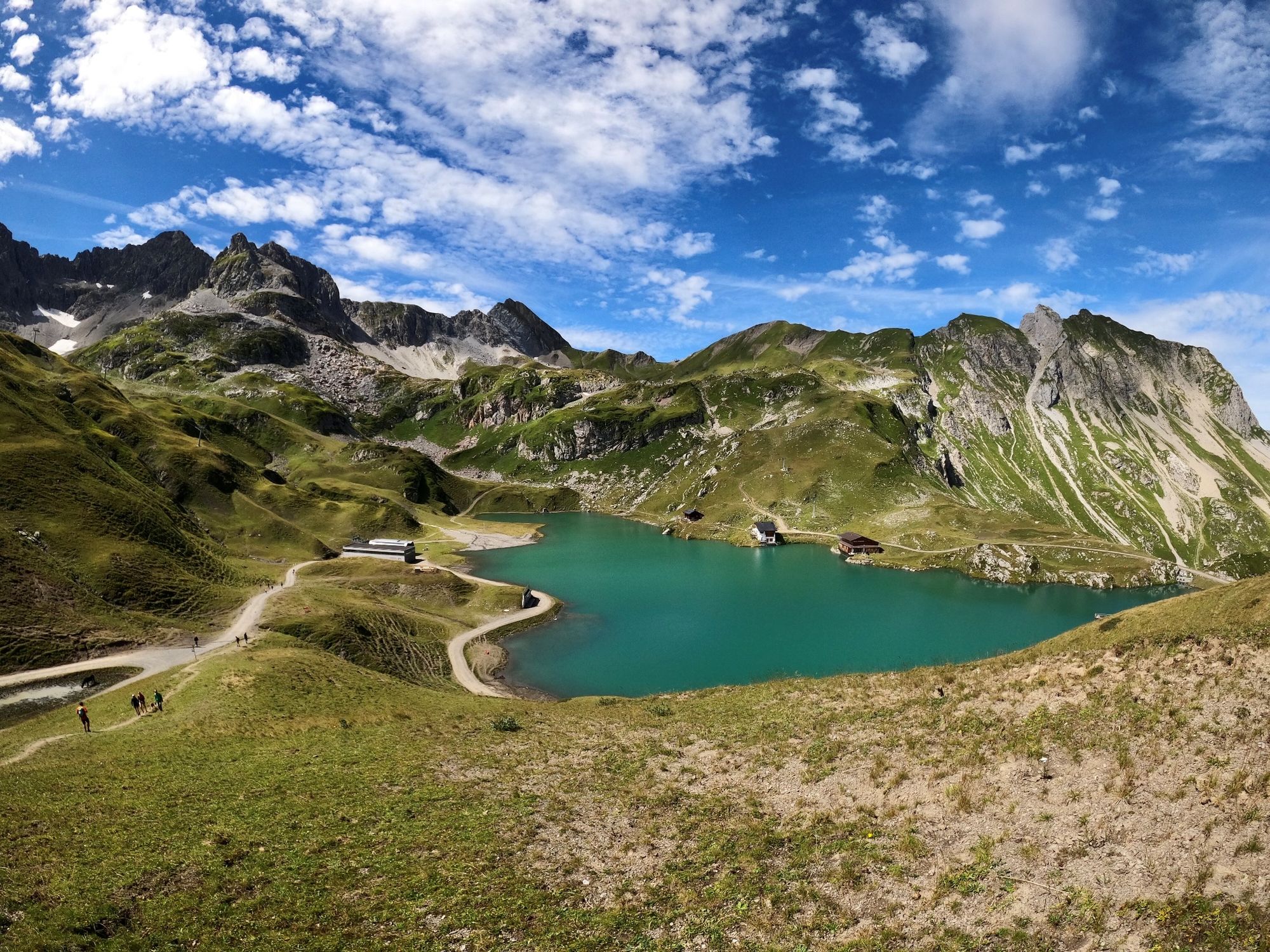
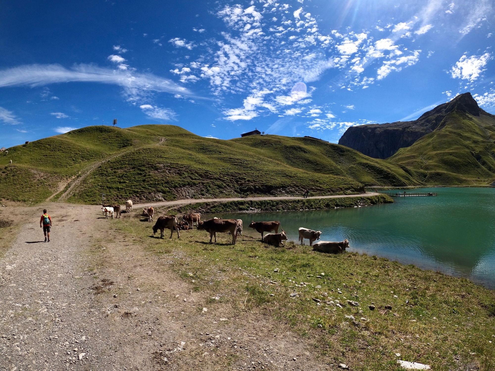
Im Winter als Skiabfahrt sehr bekannt, im Sommer ein ruhiger Ort zwischen Lech und Zürs gelegen. Auf dem Wanderweg haben Sie traumhafte Ausblicke direkt auf Lech.
- Reitti
-
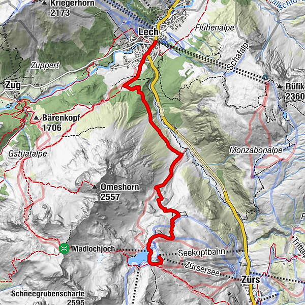
Zürserseebahn0,0 kmMadlochbahn0,5 kmLech (1.444 m)6,1 km
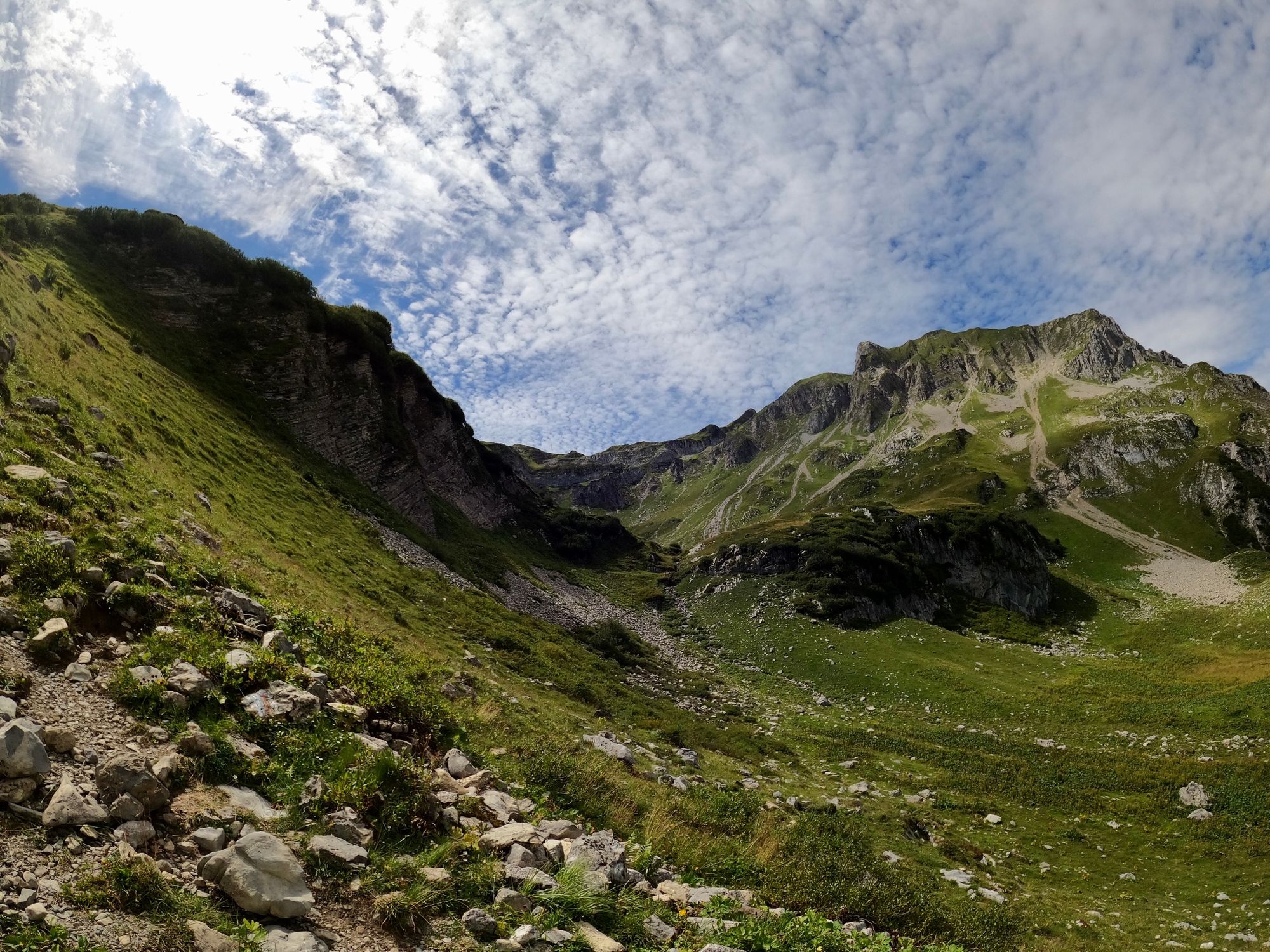
- Korkein kohta
- 2.196 m
- Kohde
-
Lech am Arlberg
- Korkeusprofiili
-

-

-
KirjoittajaKiertue Seekopftour über das Wiesele käyttää outdooractive.com toimitettu.