

Retkitiedot
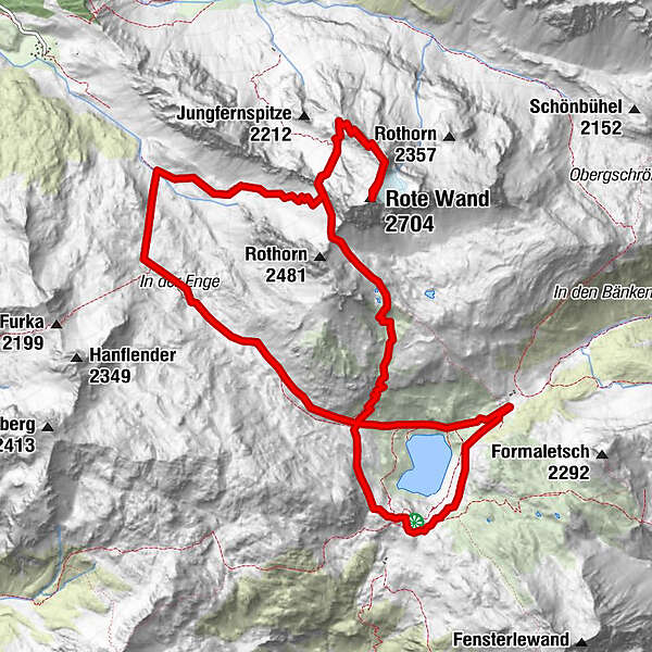
13,9km
1.831
- 2.704m
1.181hm
1.168hm
06:00h
- Lyhyt kuvaus
-
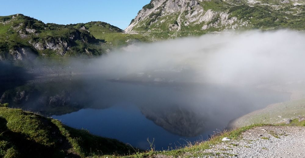
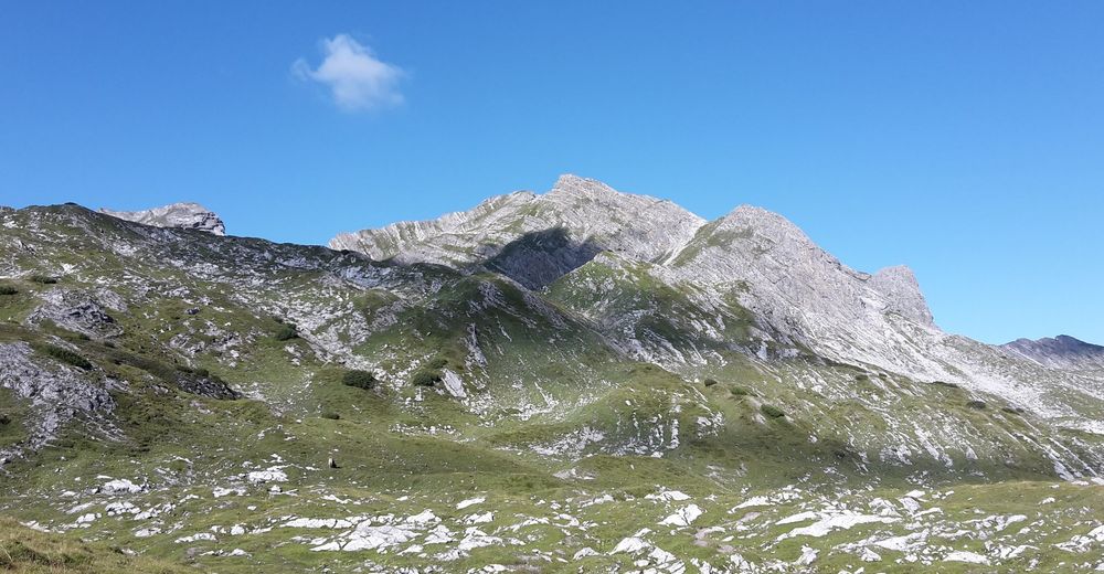
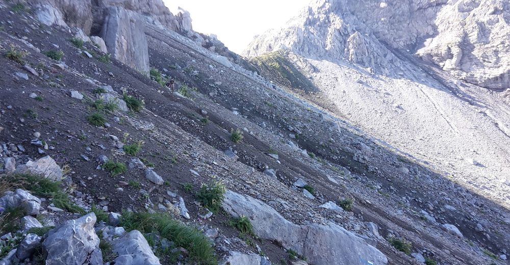
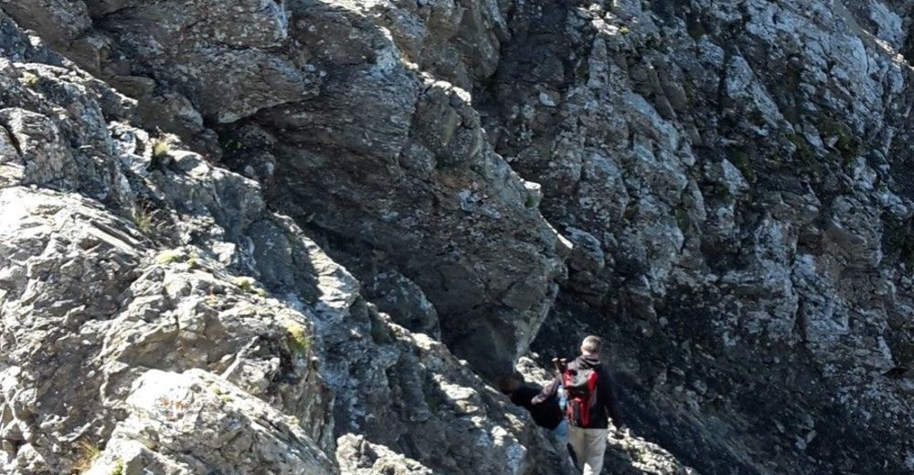
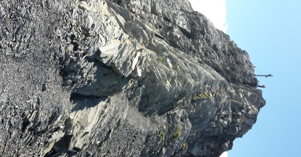
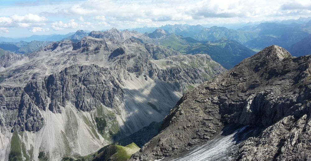
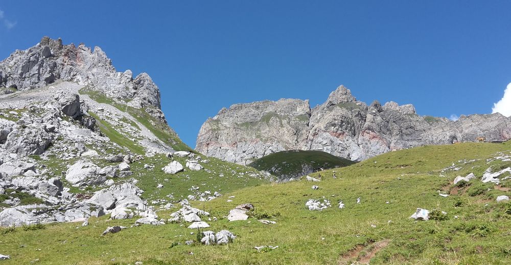
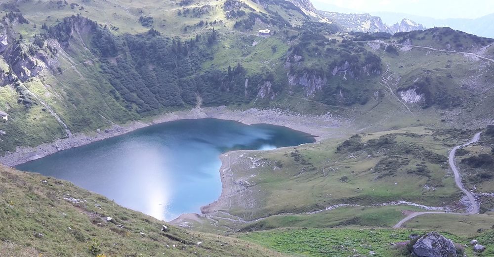
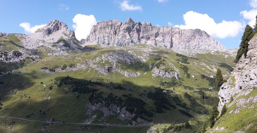
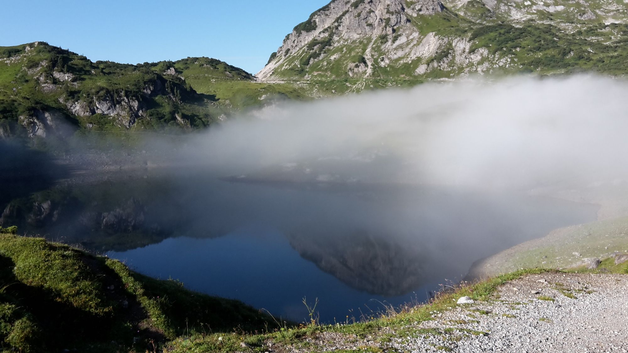
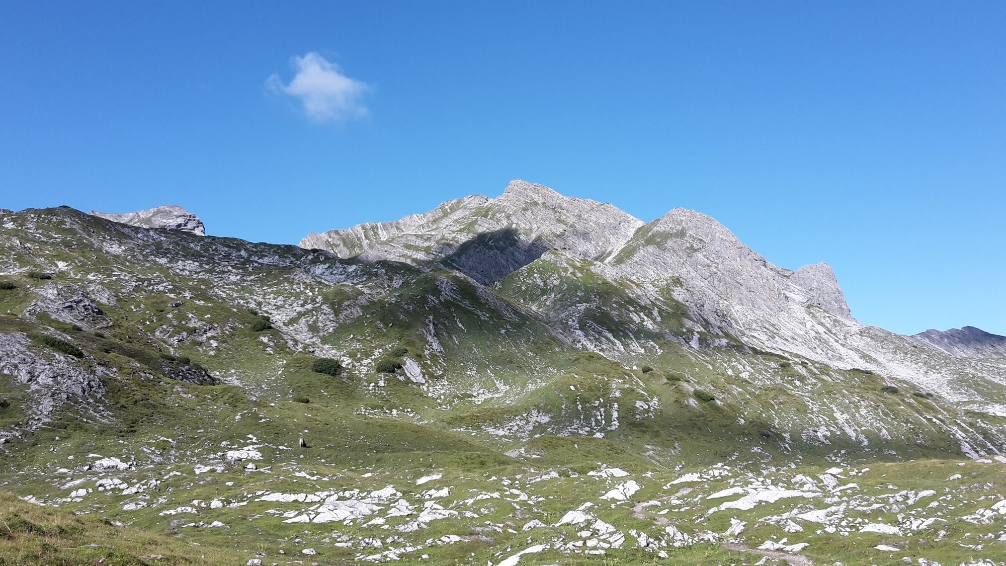
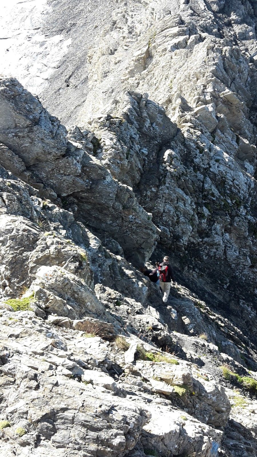
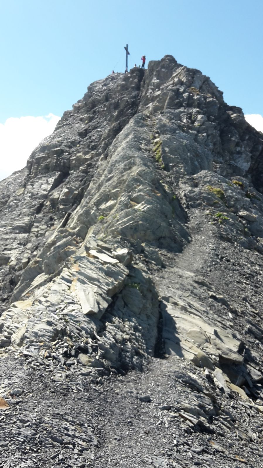
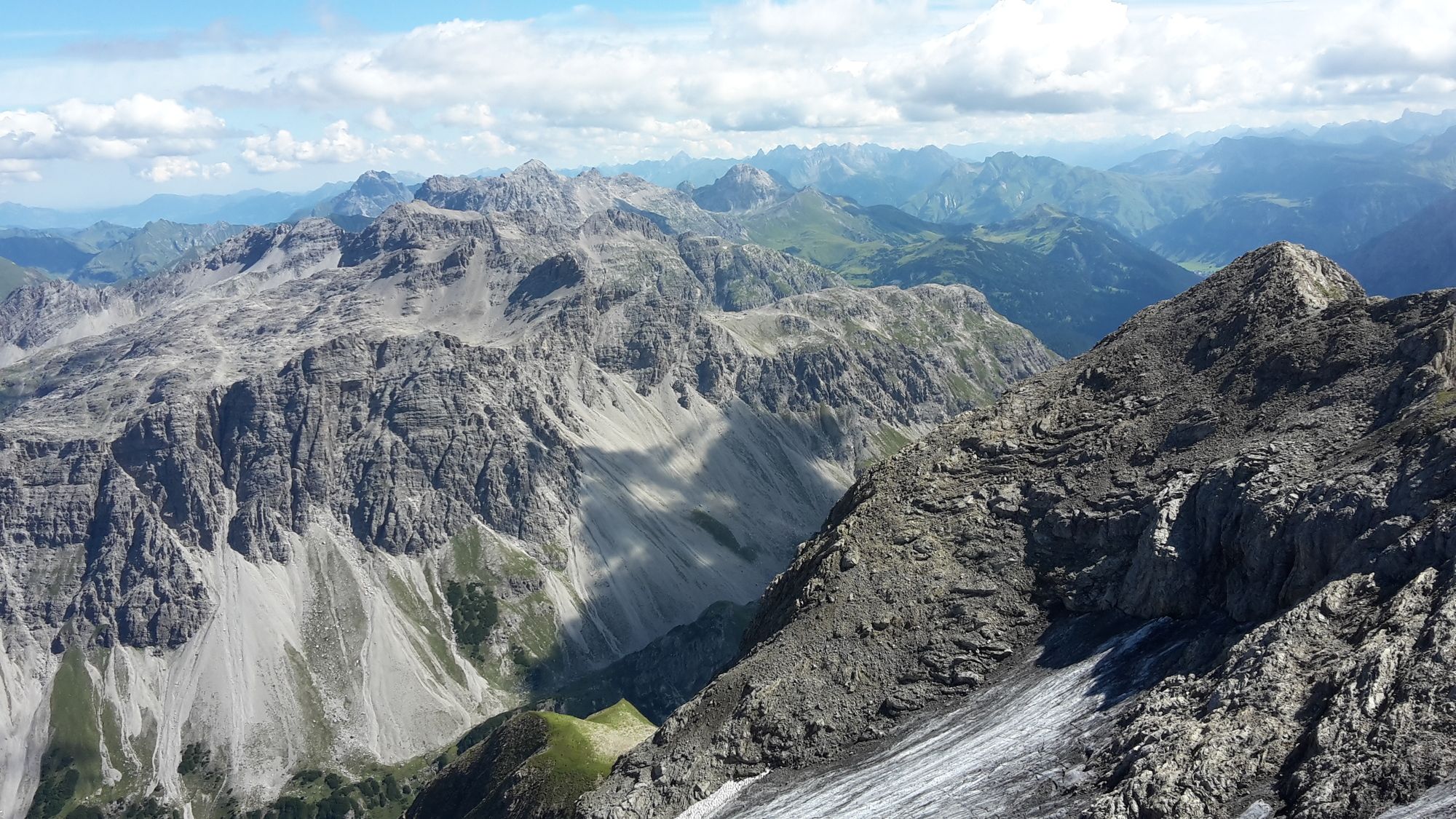
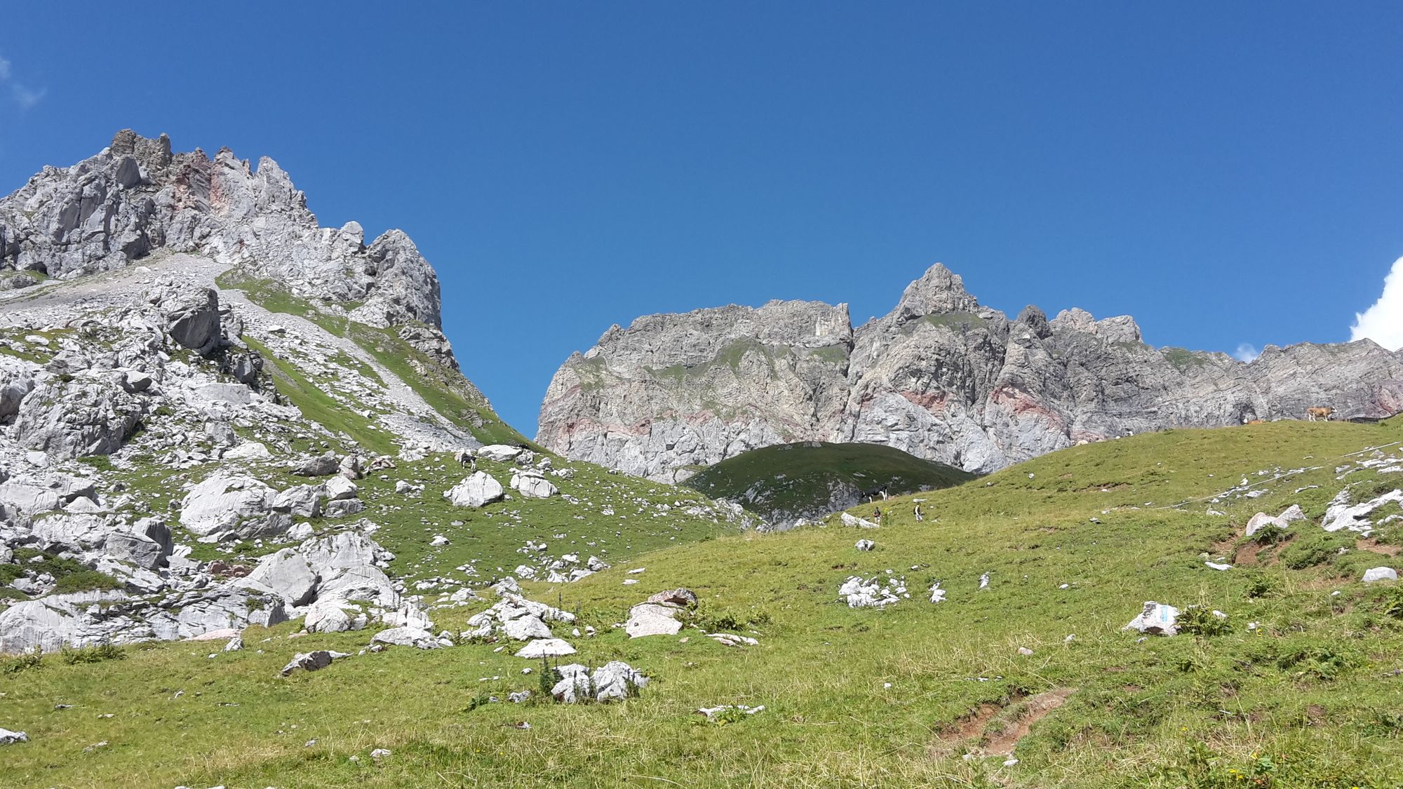
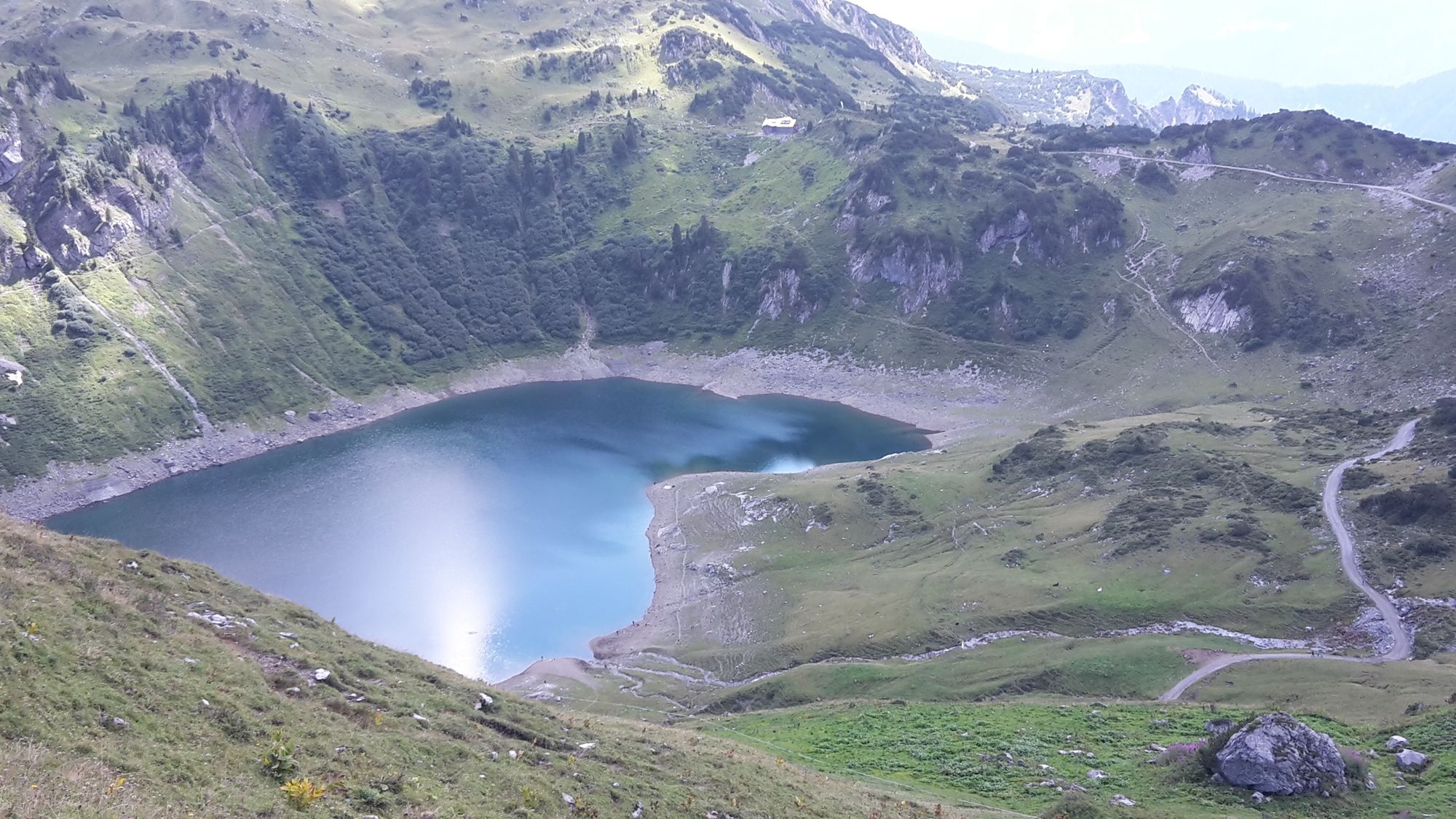
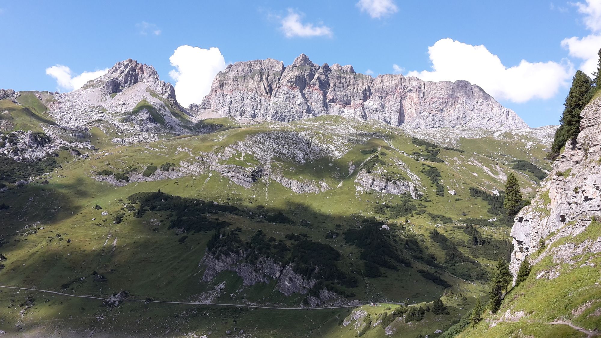
Die Rote Wand ist der zweithöchste Berg im Lechquellgebirge. Er ist sehr markant und bei Fernsicht schon von weitem zu sehen. Gestartet wird nach der Formarinalpe von Lech kommend. Um eine perfekte Tagestour daraus zu machen, führt die Tour über die obere Laguzalpe. Der Abstieg ist der direkte Weg zur Freiburger Hütte. Die Umrundung um den schönen Formarinsee beendet die grandiose Tour.
- Vaikeus
-
vaikea
- Arviointi
-
- Lähtöpiste
-
Wanderparkplatz/ Bushaltestelle bei der Formarinalpe/ Formarinsee
- Reitti
-
Obere Laguzalpe4,1 kmRote Wand (2.704 m)7,2 kmFreiburger Hütte12,6 km
- Paras kausi
-
tammihelmimaalishuhtitoukokesäheinäelosyyslokamarrasjoulu
- Korkein kohta
- Rote Wand (2.704 m)
- Kohde
-
Wanderparkplatz/ Bushaltestelle bei der Formarinalpe/ Formarinsee
- Lepo/Retriitti
-
Freiburger Hütte, DAV Sekt. Freiburg- Breisgau
- Karttamateriaali
-
Kompass WK 33 Arlberg/ Verwallgruppe

- Lähde
- schneeberglift
GPS Downloads


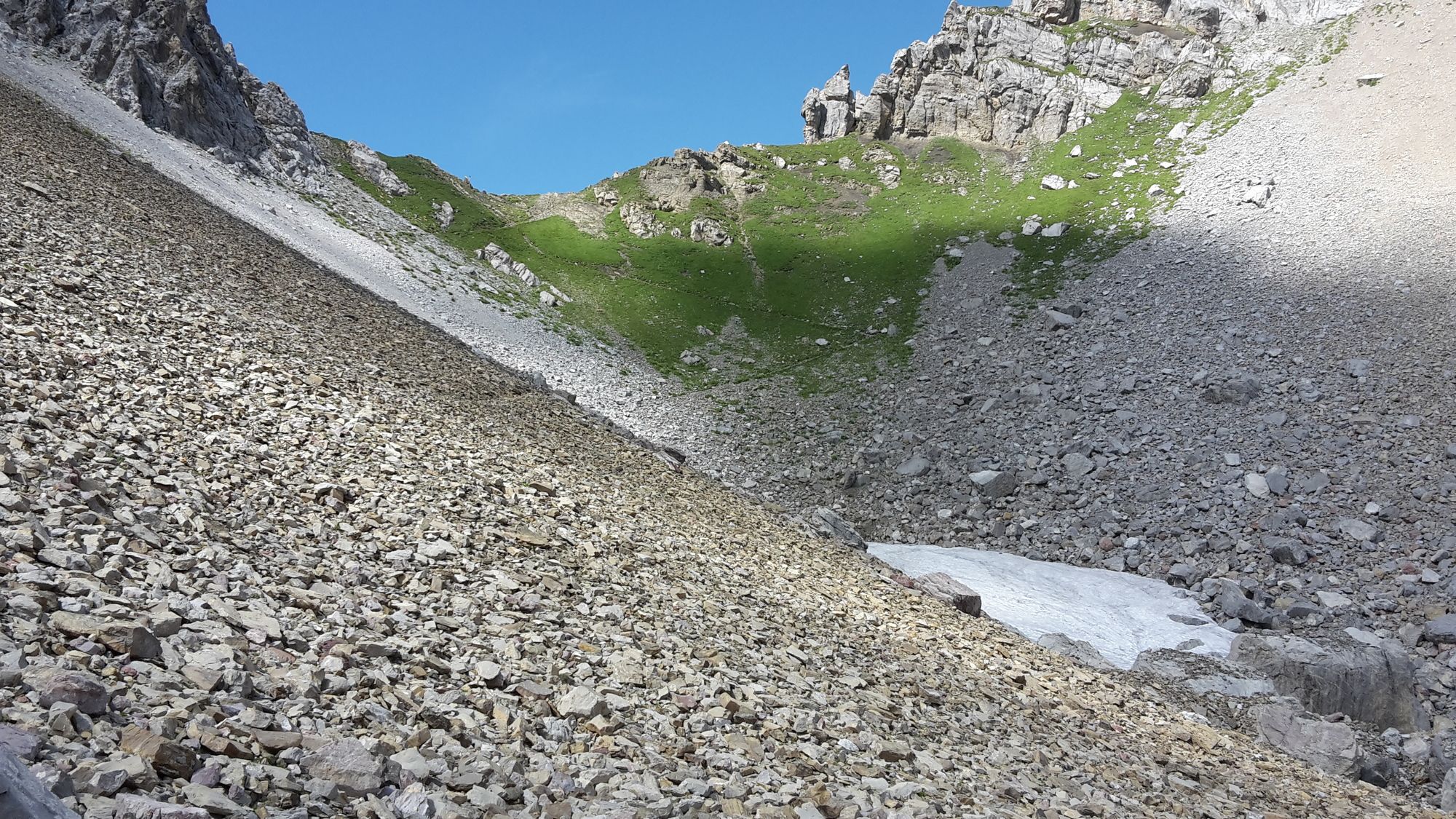
Polun olosuhteet
Asfaltti
Sora
Niitty
Metsä
Kallio
Altistettu
(Hauptsächl)
Lisää retkiä alueilla
-
Klostertal
1789
-
Dalaas / Wald am Arlberg
466


