
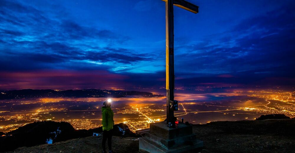
© Bodensee-Vorarlberg Tourismus GmbH - Tourismusbüro Hohenems

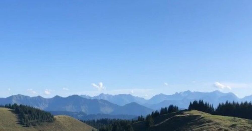
© Bodensee-Vorarlberg Tourismus GmbH - Tourismusbüro Hohenems
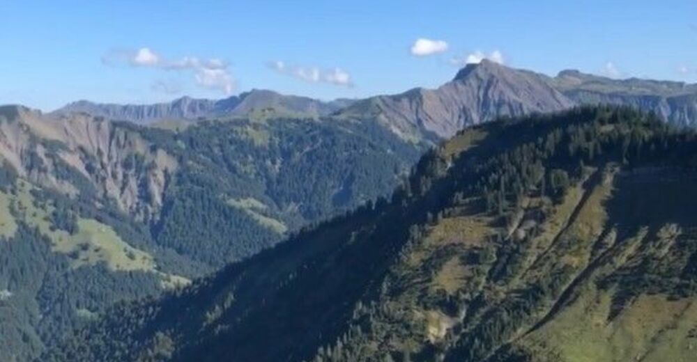
© Bodensee-Vorarlberg Tourismus GmbH - Tourismusbüro Hohenems

- Lyhyt kuvaus
-
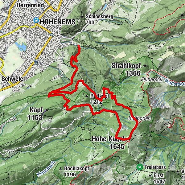
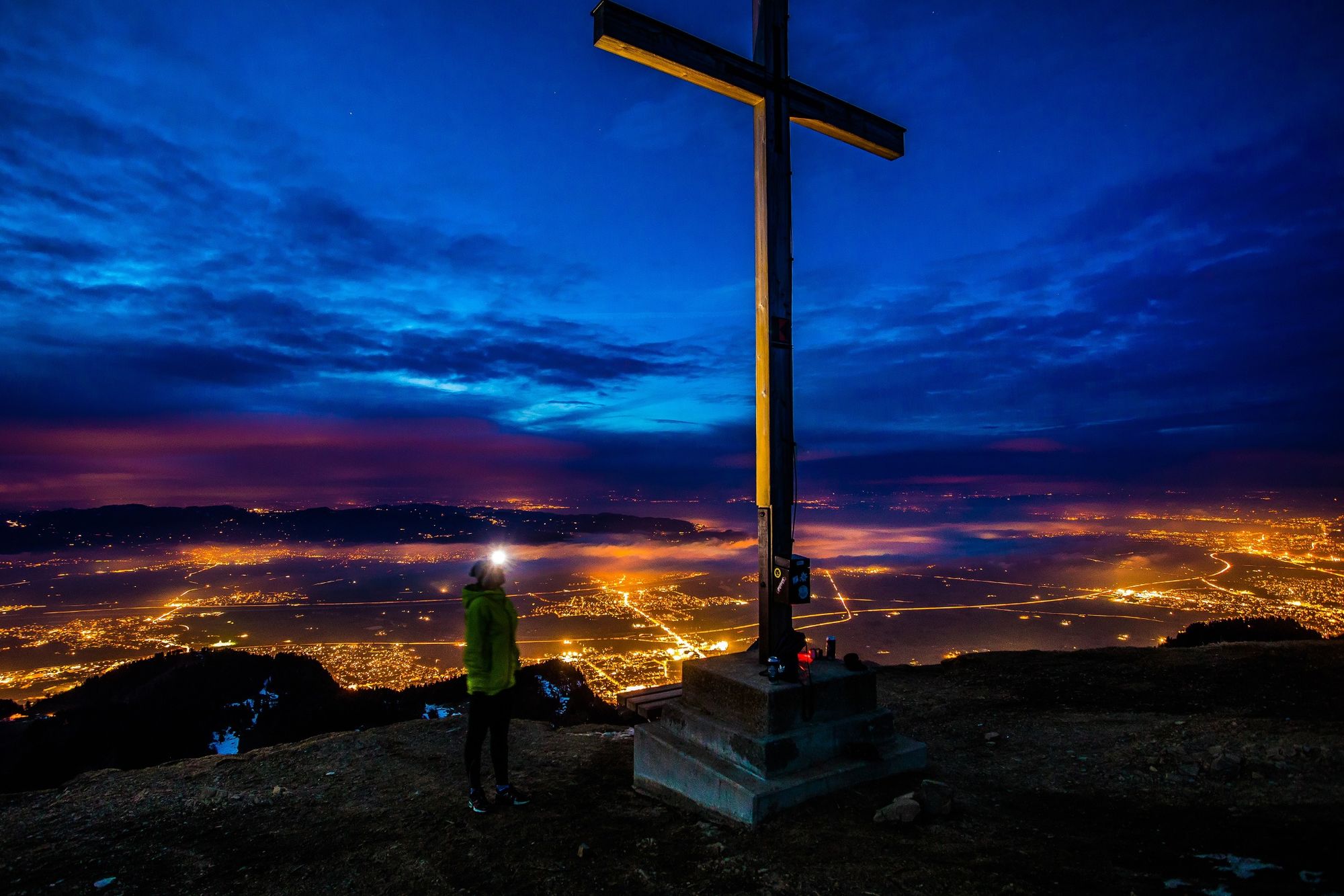
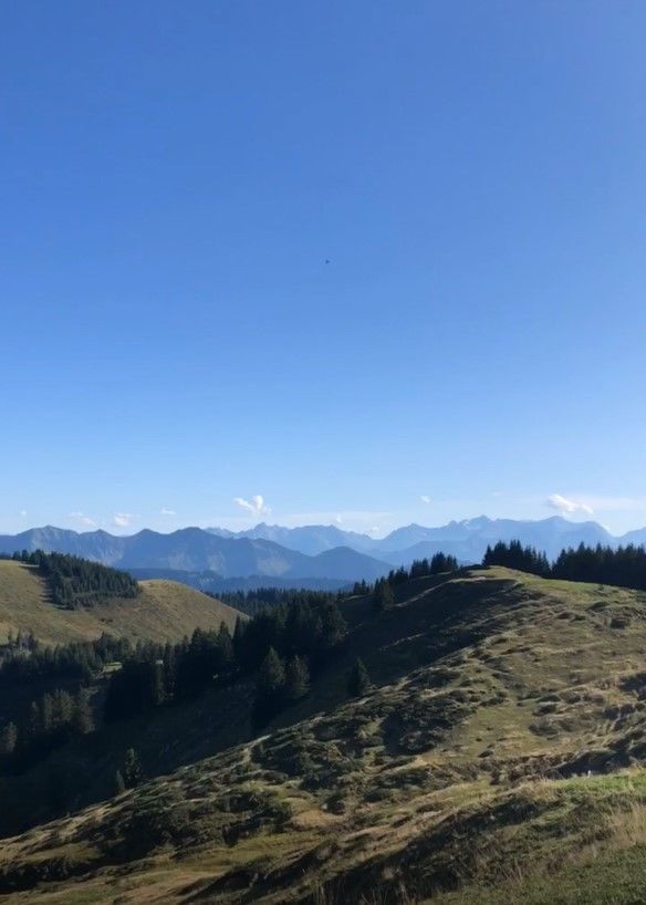
Bergtour: Ledi - Langer Rank - Stieg - Wiesle - Millrütte - Hohe Kugel - Kühboden - Wiessa-Stua-Weg - Gsohlälpele - Alpe Gsohl - Ledi
- Vaikeus
-
tapa
- Arviointi
-
- Reitti
-
Hohenems (432 m)Hirschrütti (600 m)0,7 kmLanger Rank (860 m)2,0 kmRappenloch2,5 kmKrümmana2,9 kmMillrütte4,4 kmGötzner Naturfreunde Haus4,7 kmHohe Kugel (1.645 m)6,6 kmKühboden7,0 kmÄlpele8,8 kmBöserstein9,4 kmGsohlalpe10,2 kmAlpe Gsohl10,3 kmLanger Rank (860 m)11,3 kmHirschrütti (600 m)12,9 kmHohenems (432 m)13,7 km
- Paras kausi
-
tammihelmimaalishuhtitoukokesäheinäelosyyslokamarrasjoulu
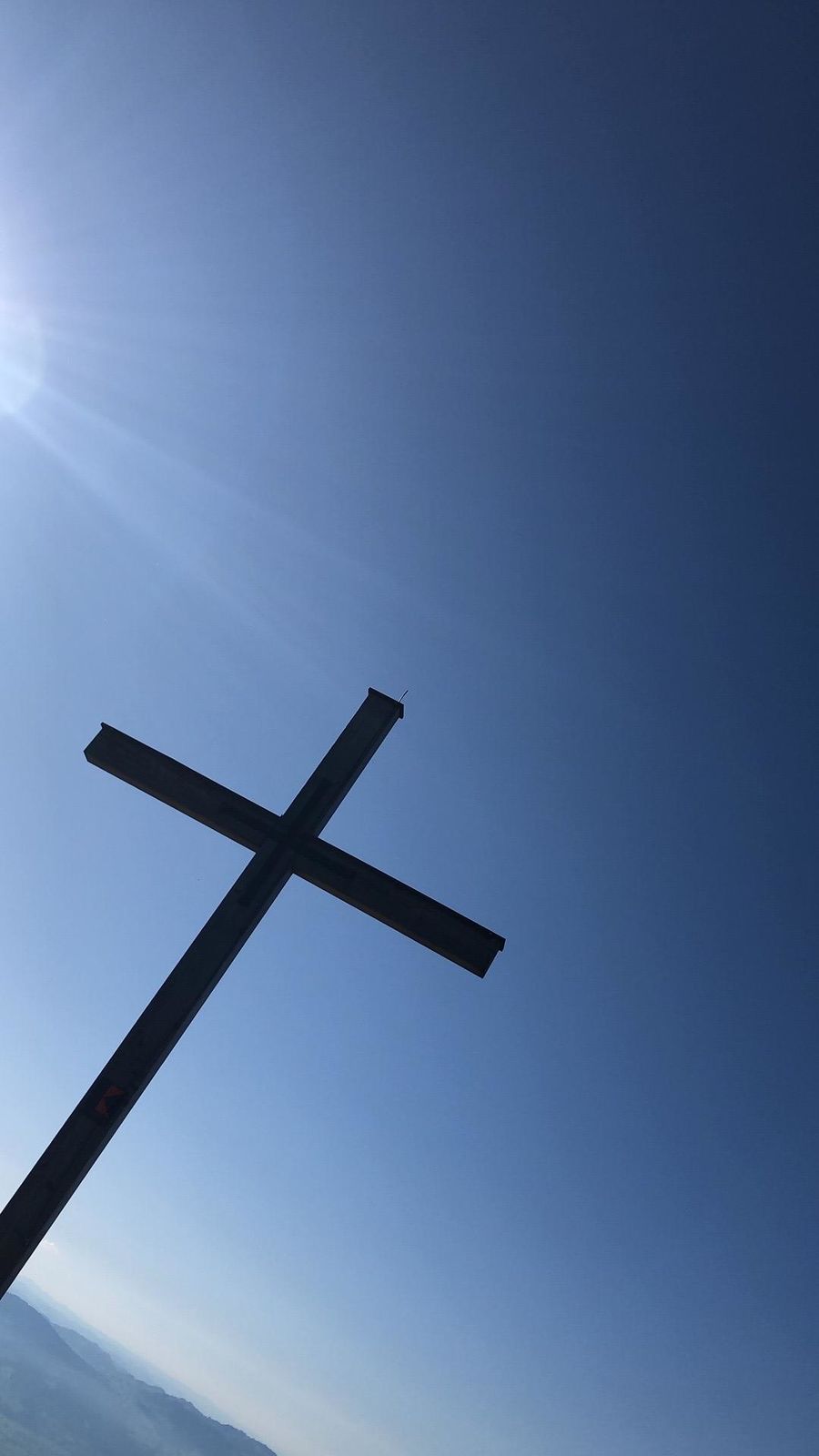
- Korkein kohta
- 1.615 m
- Kohde
-
Parkplatz Ledi, Ende Hochquellenstraße
- Korkeusprofiili
-


- Kirjoittaja
-
Kiertue Bergtour: Hohe Kugel käyttää outdooractive.com toimitettu.
GPS Downloads

Yleistä tietoa
Virvokepysäkki
Lupaava
Lisää retkiä alueilla
-
St. Gallen - Bodensee
2064
-
St. Galler Rheintal
1331
-
Hohenems
345


