


- Lyhyt kuvaus
-
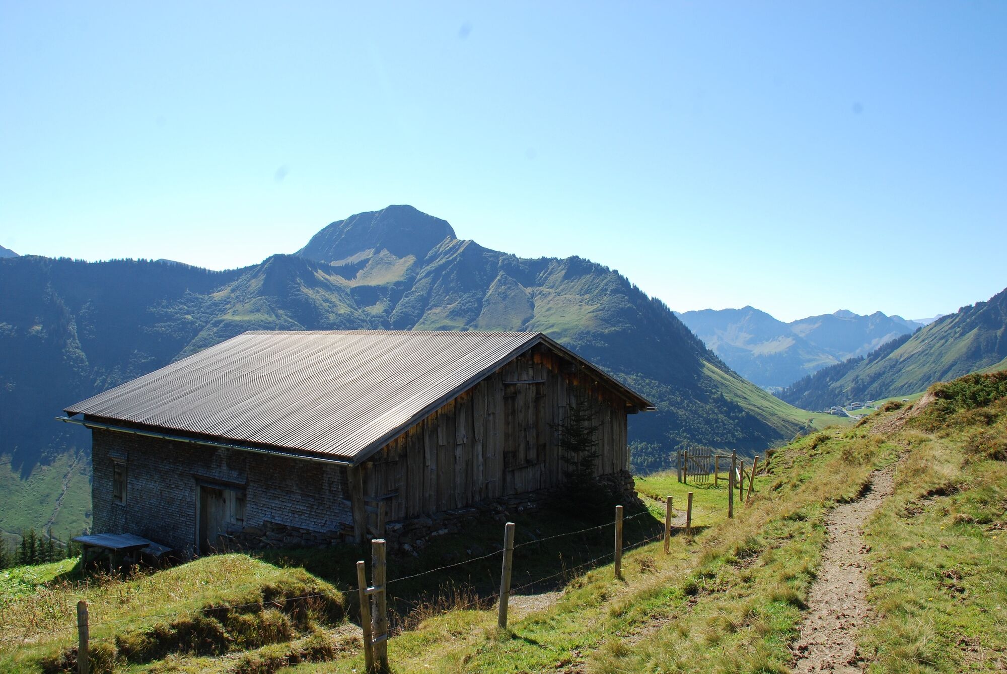
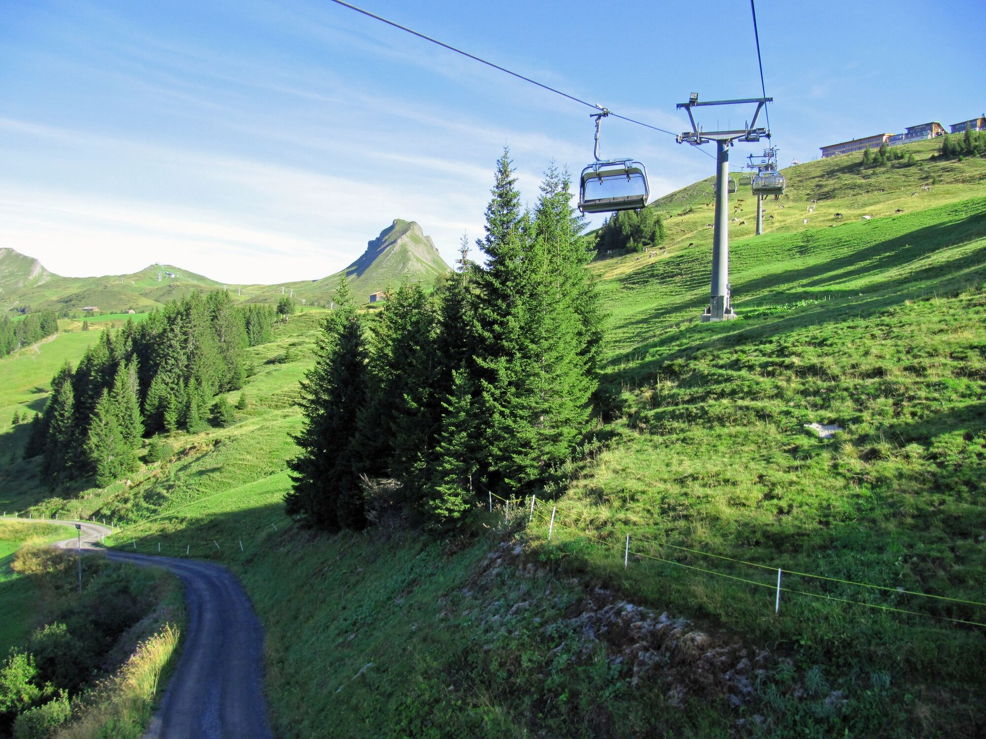
Bergstation Uga-Express - Brandalpe - Hängebrücke / Plattentobel - Talstation Uga-Express
- Vaikeus
-
tapa
- Arviointi
-
- Reitti
-
Vordere Ugaalpe0,2 kmBrandalpe2,5 kmBrandalpe2,7 kmPizzeria da Ingo5,0 km
- Paras kausi
-
tammihelmimaalishuhtitoukokesäheinäelosyyslokamarrasjoulu
- Korkein kohta
- 1.823 m
- Kohde
-
Talstation Uga-Express
- Korkeusprofiili
-

-

-
KirjoittajaKiertue Damüls | Brandalpe über die Hängebrücke käyttää outdooractive.com toimitettu.
GPS Downloads


Yleistä tietoa
Kulttuuri/Historiallinen
Sisäpiirin vinkki
Flora
Lupaava
Lisää retkiä alueilla
-
St. Gallen - Bodensee
2067
-
Biosphärenpark Großes Walsertal
2011
-
Damüls
578


