

© Warth-Schröcken Tourismus - Verena Ulseß


- Lyhyt kuvaus
-
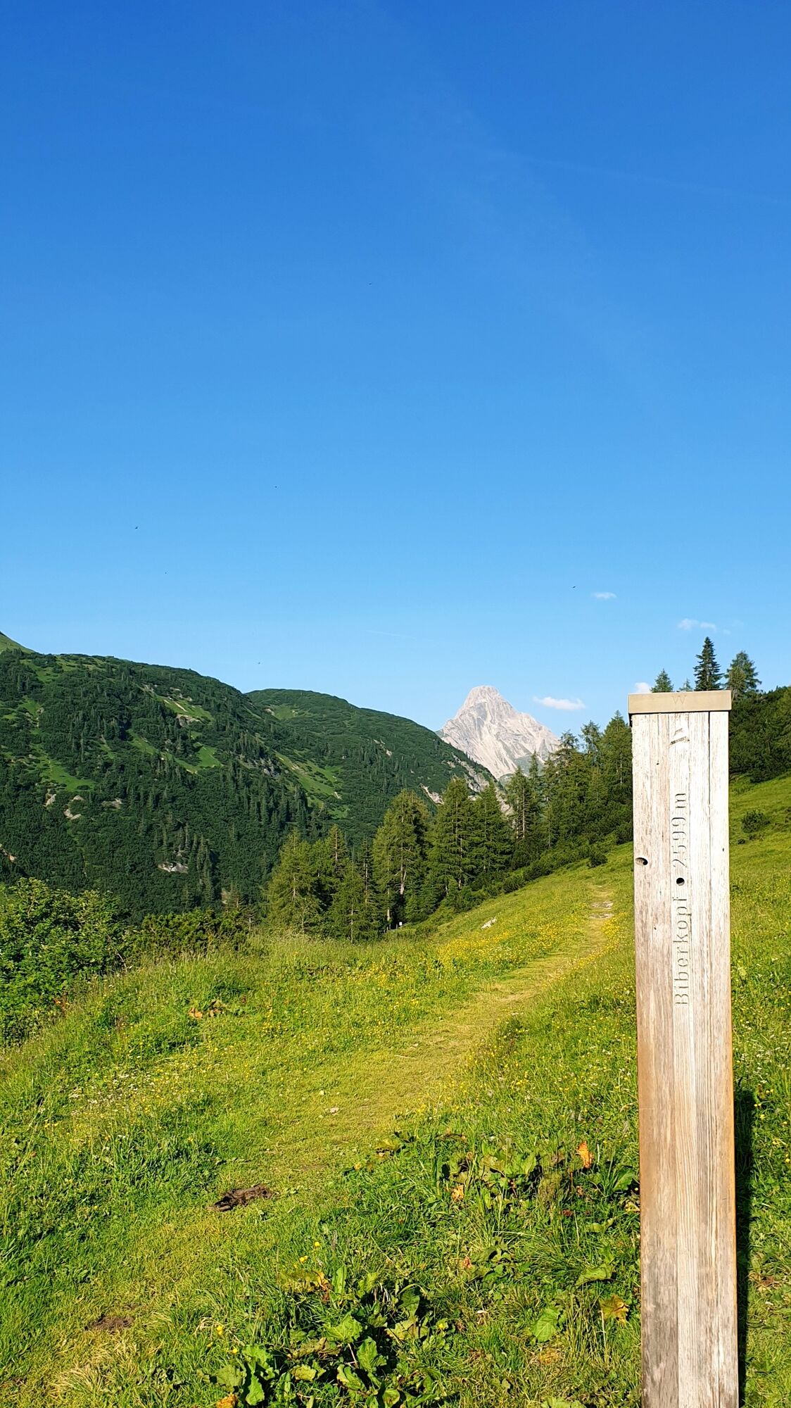
From the village square Warth, the path leads you past Steffisalp-Express at Walserhus. Passing the Sporthotel Steffisalp on the right, a hiking trail leads to the plot Wolfegg. Now continue along the path of the old salt road until you arrive in Hochkrumbach. Take the bus back.
- Vaikeus
-
helppo
- Arviointi
-
- Reitti
-
Warth (1.495 m)0,0 kmPfarrkirche St. Sebastian0,2 kmWolfegg1,2 kmHolzbodenalpe2,5 km
- Paras kausi
-
tammihelmimaalishuhtitoukokesäheinäelosyyslokamarrasjoulu
- Korkein kohta
- 1.631 m
- Kohde
-
Hochkrumbach
- Korkeusprofiili
-

-

-
KirjoittajaKiertue Salzstraße to Hochkrumbach käyttää outdooractive.com toimitettu.
GPS Downloads


Yleistä tietoa
Sisäpiirin vinkki
Lupaava
Lisää retkiä alueilla


