

Retkitiedot
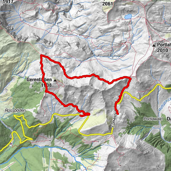
7,96km
1.570
- 1.806m
356hm
221hm
02:29h
- Lyhyt kuvaus
-
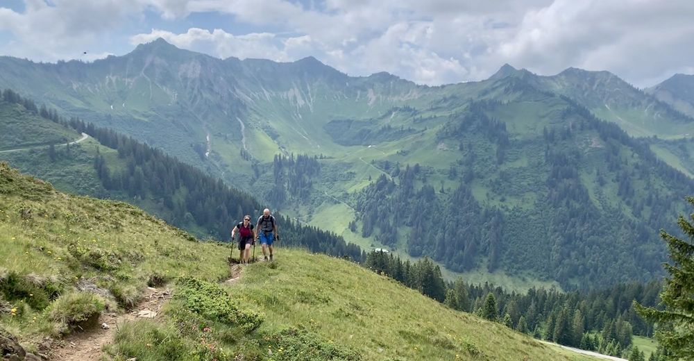
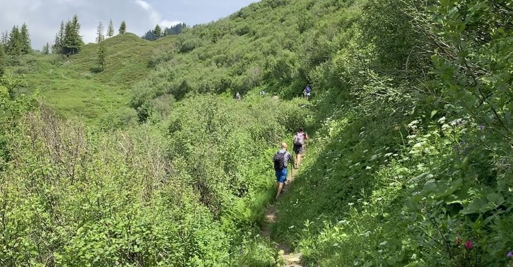
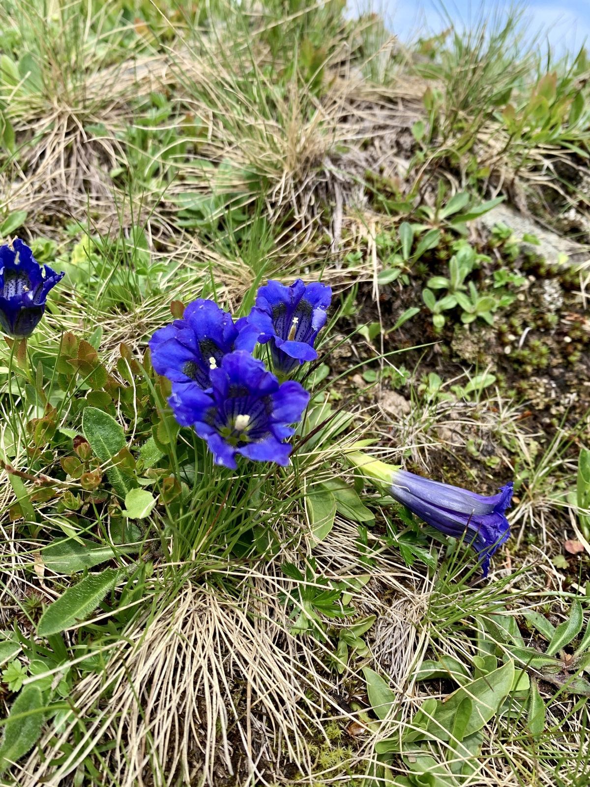
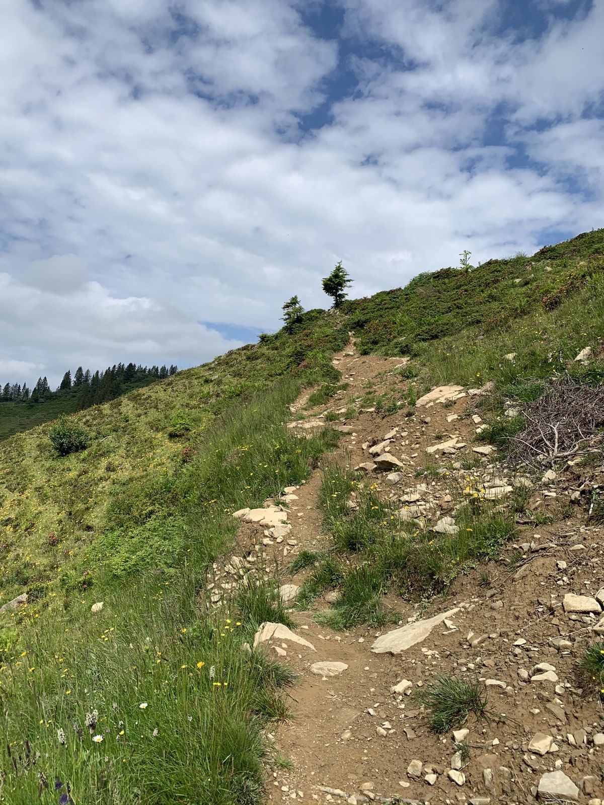
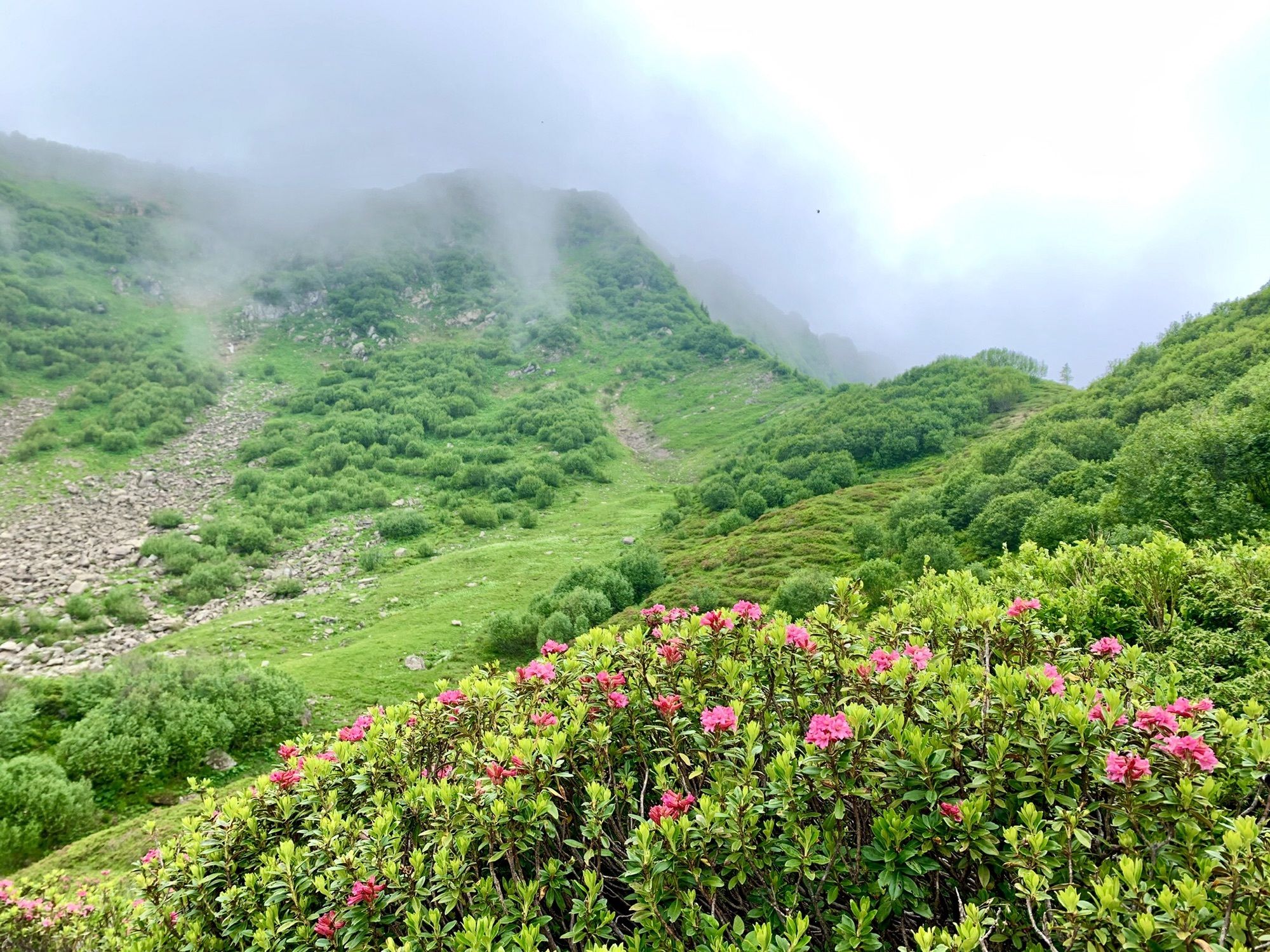
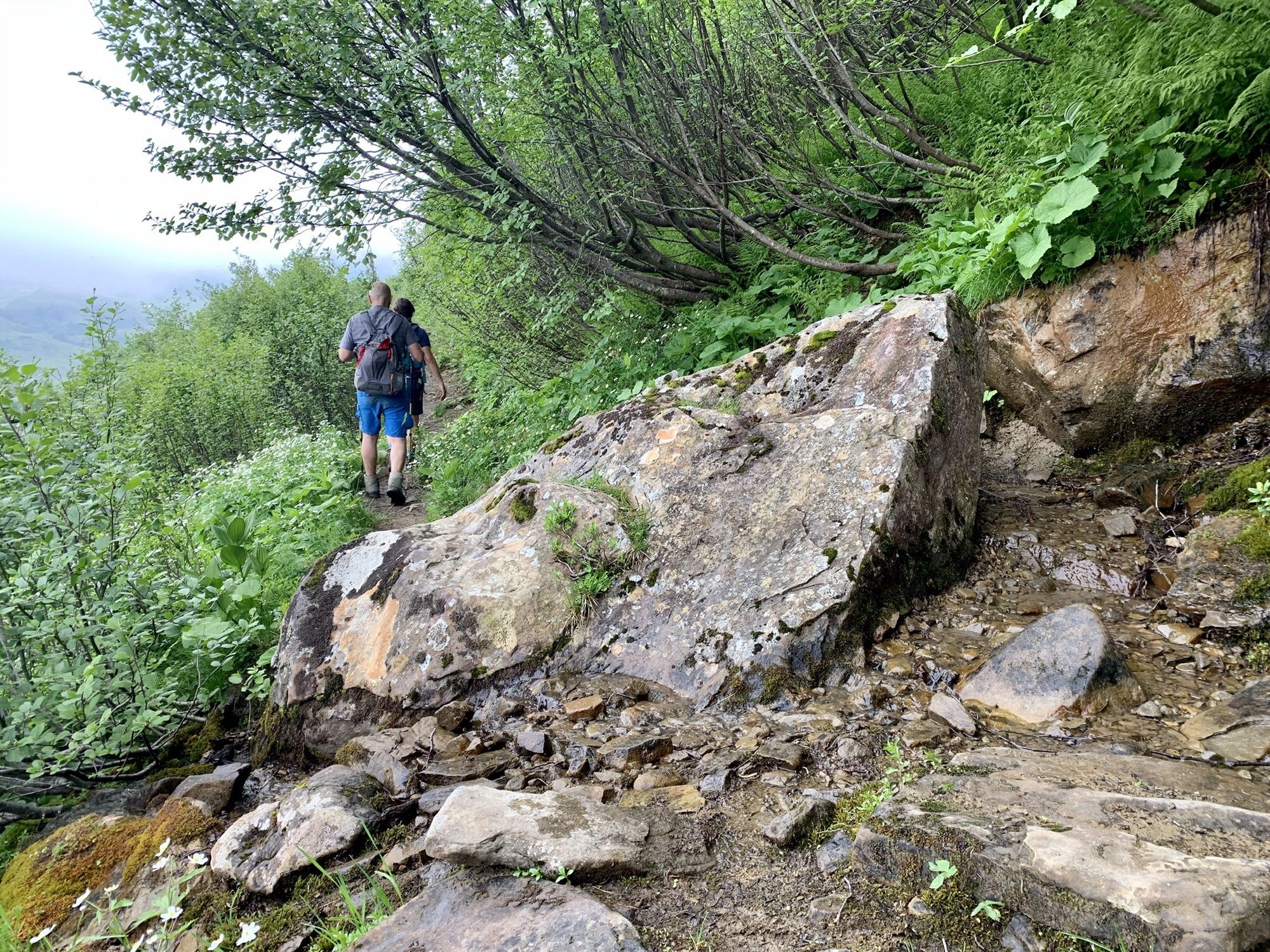
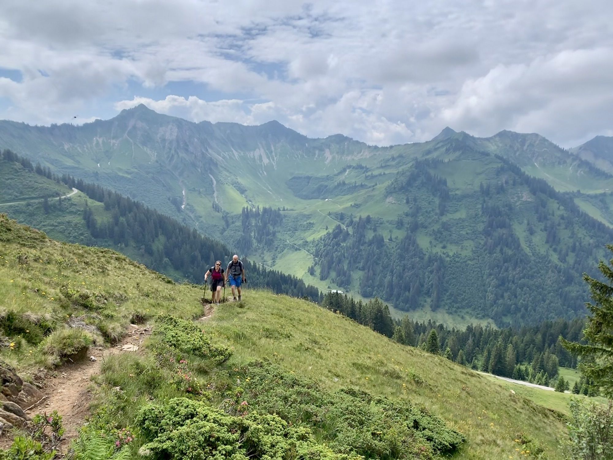
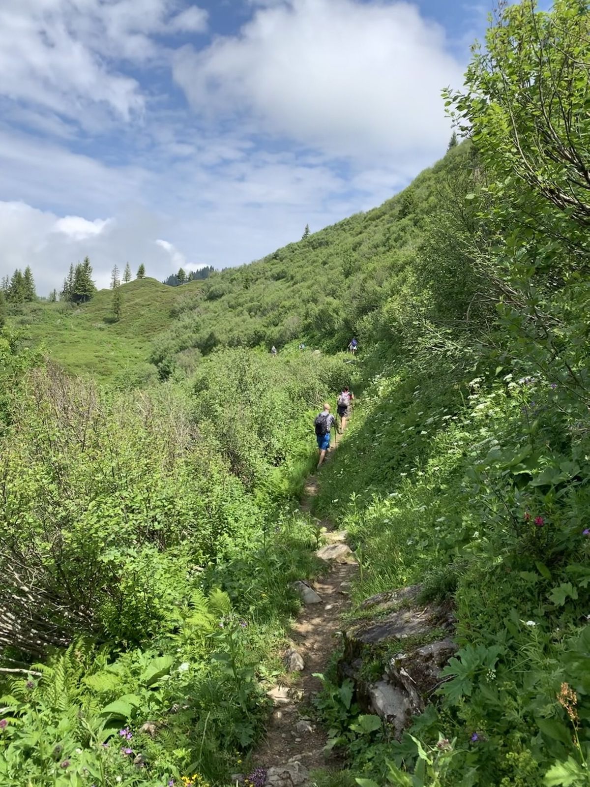
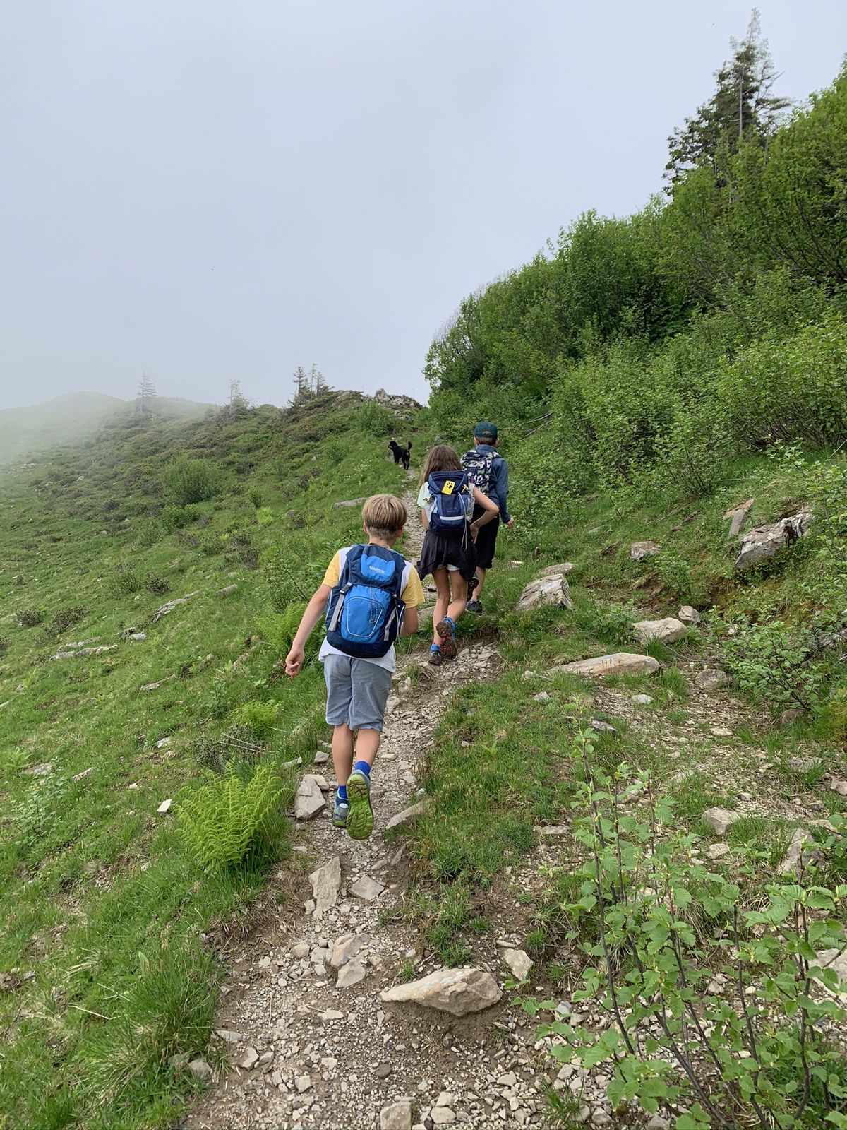
Idyllische Tour abseits der üblichen Touristenpfade entlang der Rückseite des Furkajochs
- Vaikeus
-
tapa
- Arviointi
-
- Reitti
-
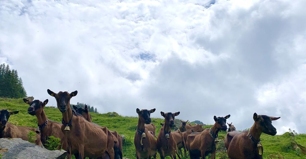
Gävisalpe (1.750 m)2,8 kmGäviserhöhe3,2 kmAlpe Portla6,9 km
- Paras kausi
-
tammihelmimaalishuhtitoukokesäheinäelosyyslokamarrasjoulu
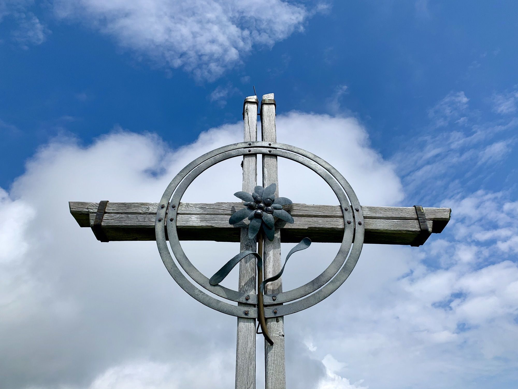
- Korkein kohta
- 1.806 m
GPS Downloads


Lisää retkiä alueilla
-
St. Gallen - Bodensee
2065
-
Biosphärenpark Großes Walsertal
2006
-
Blons
462


