
Retkitiedot
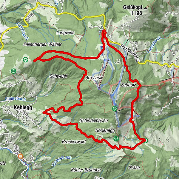
16,05km
902
- 1.284m
661hm
664hm
03:58h
- Lyhyt kuvaus
-
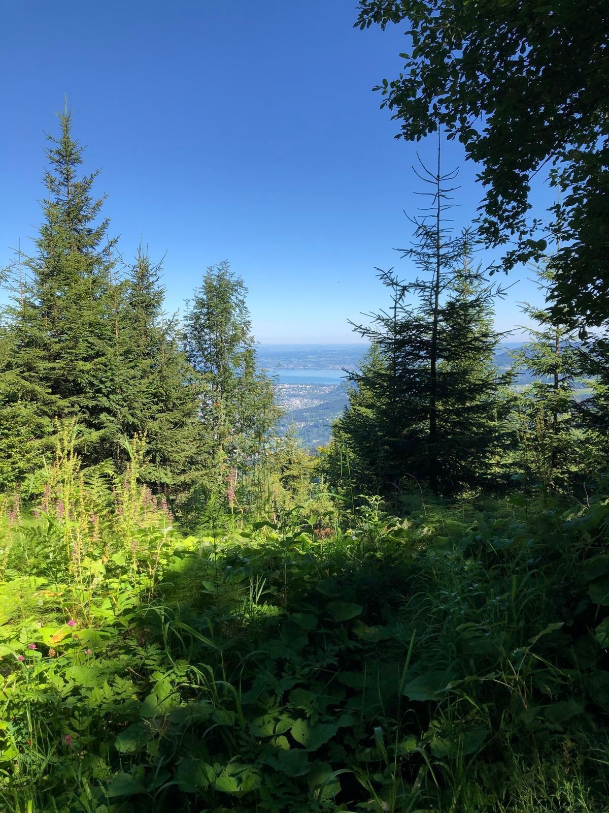
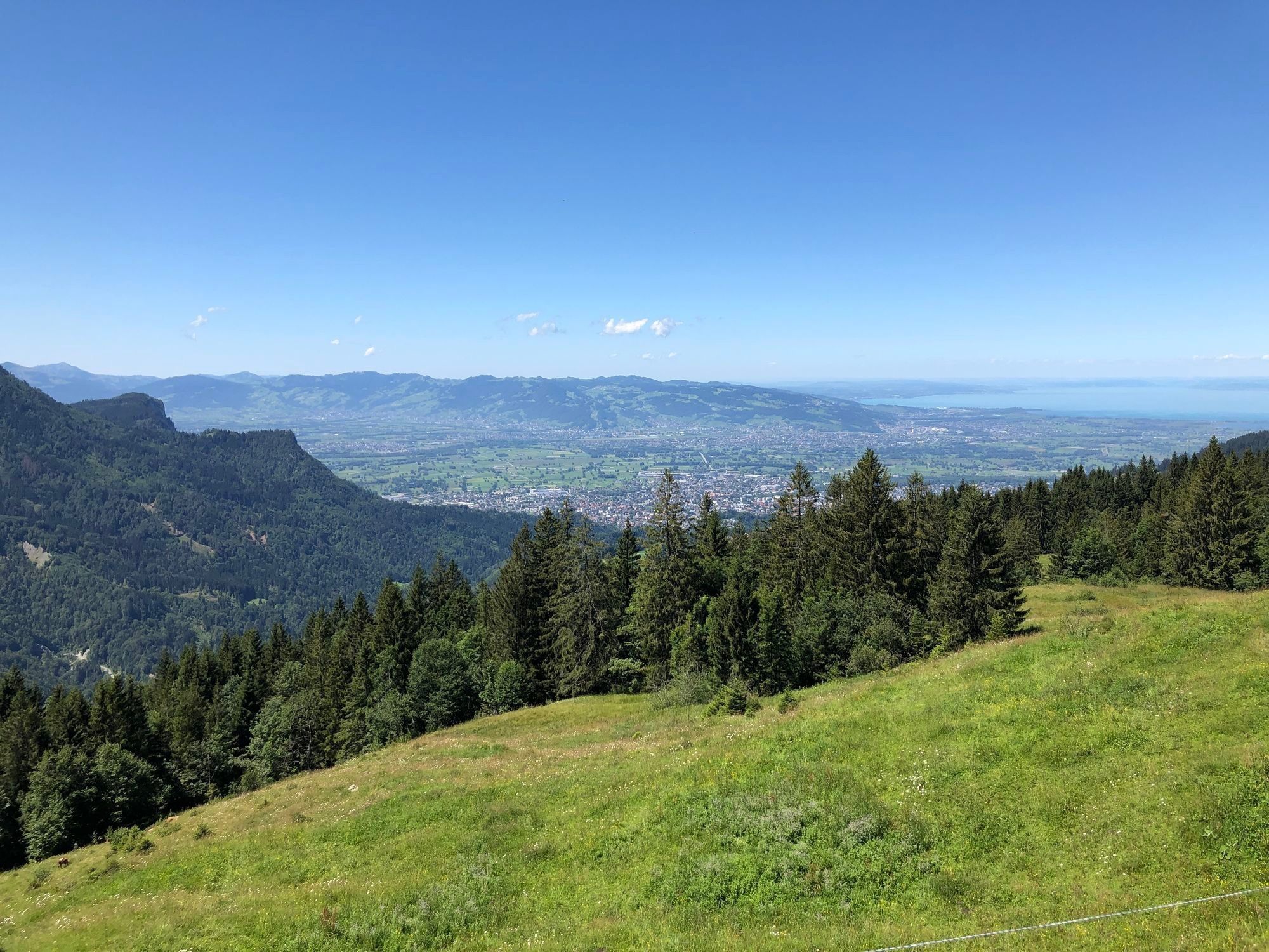
Leichte Wanderung mit 660 Hm, meist auf Schotterwegen
- Vaikeus
-
helppo
- Arviointi
-
- Reitti
-
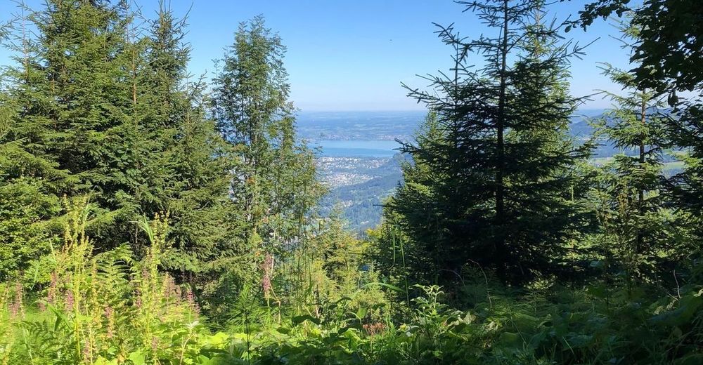
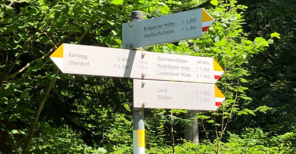
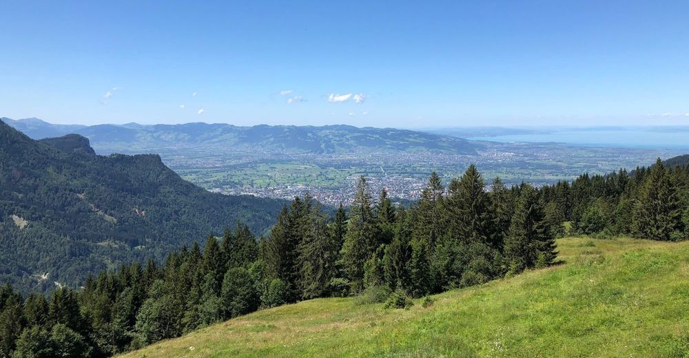
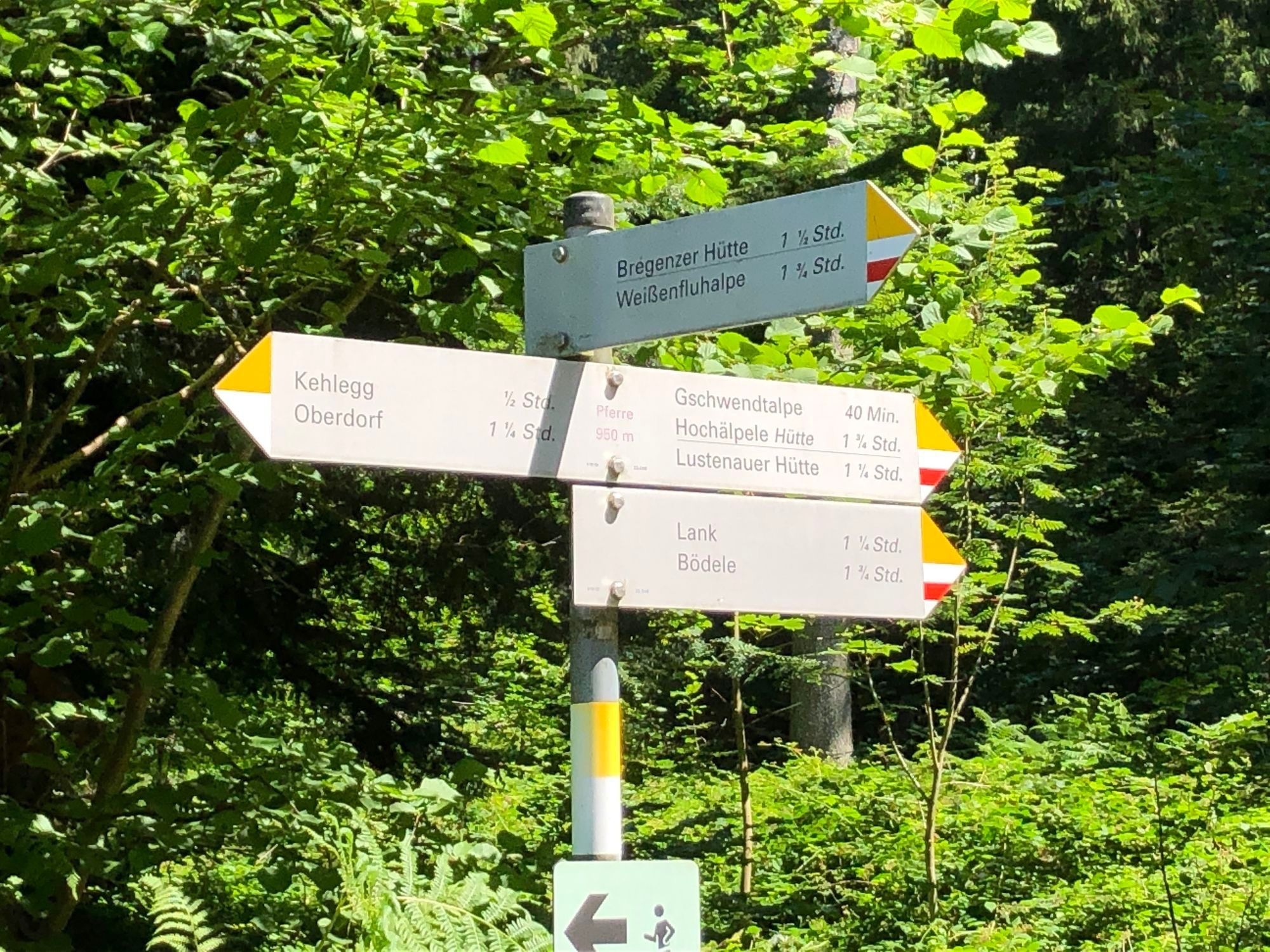
Berghof Fetz0,0 kmHeilige Maria0,1 kmBödele0,4 kmDornbirn (437 m)2,9 kmPfidajona7,3 kmPfidajonaköpfle7,4 kmAlpe Büla7,9 kmLustenauer Hütte11,9 kmÄlpele12,7 kmBödele15,7 km
- Korkein kohta
- 1.284 m
GPS Downloads


Lisää retkiä alueilla
-
St. Gallen - Bodensee
2067
-
Bodensee - Vorarlberg
1317
-
Schwarzenberg
610


