

© Bregenzerwald Tourismus - Oostenrijk TV

© Bregenzerwald Tourismus - Oostenrijk TV

© Bregenzerwald Tourismus - Oostenrijk TV


- Lyhyt kuvaus
-
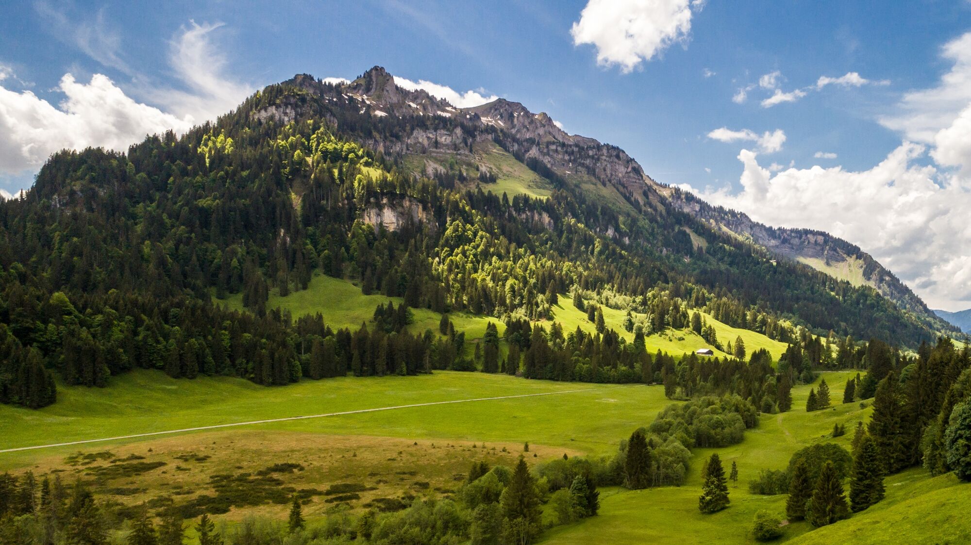
Easy hike on well-maintained supply roads (except for Hengstig) from Silgratsgfäll to the mid-alpine pasture area of Schönenbach.
- Vaikeus
-
helppo
- Arviointi
-
- Reitti
-
Heiliger Antonius0,9 kmSchönenbach6,6 kmHinterer Leugehr (942 m)9,9 kmSubersach Wasserfall10,0 kmHeiliger Antonius12,3 km
- Paras kausi
-
tammihelmimaalishuhtitoukokesäheinäelosyyslokamarrasjoulu
- Korkein kohta
- 1.069 m
- Kohde
-
Sibratsgfäll Krähenberg
- Korkeusprofiili
-


- Kirjoittaja
-
Kiertue Sibratsgfäll | Iferalpe - Schönenbach käyttää outdooractive.com toimitettu.
GPS Downloads


Yleistä tietoa
Virvokepysäkki
Lupaava
Lisää retkiä alueilla
-
Bregenzerwald
2299
-
Sibratsgfäll
674


