

© Alpenregion Bludenz Tourismus GmbH - Martin Caldonazzi

© Alpenregion Bludenz Tourismus GmbH - Martin Caldonazzi

© Alpenregion Bludenz Tourismus GmbH - Martin Caldonazzi

© Alpenregion Bludenz Tourismus GmbH - Melanie Fleisch

© Alpenregion Bludenz Tourismus GmbH - Martin Caldonazzi

© Vorarlberg Tourismus GmbH
- Lyhyt kuvaus
-
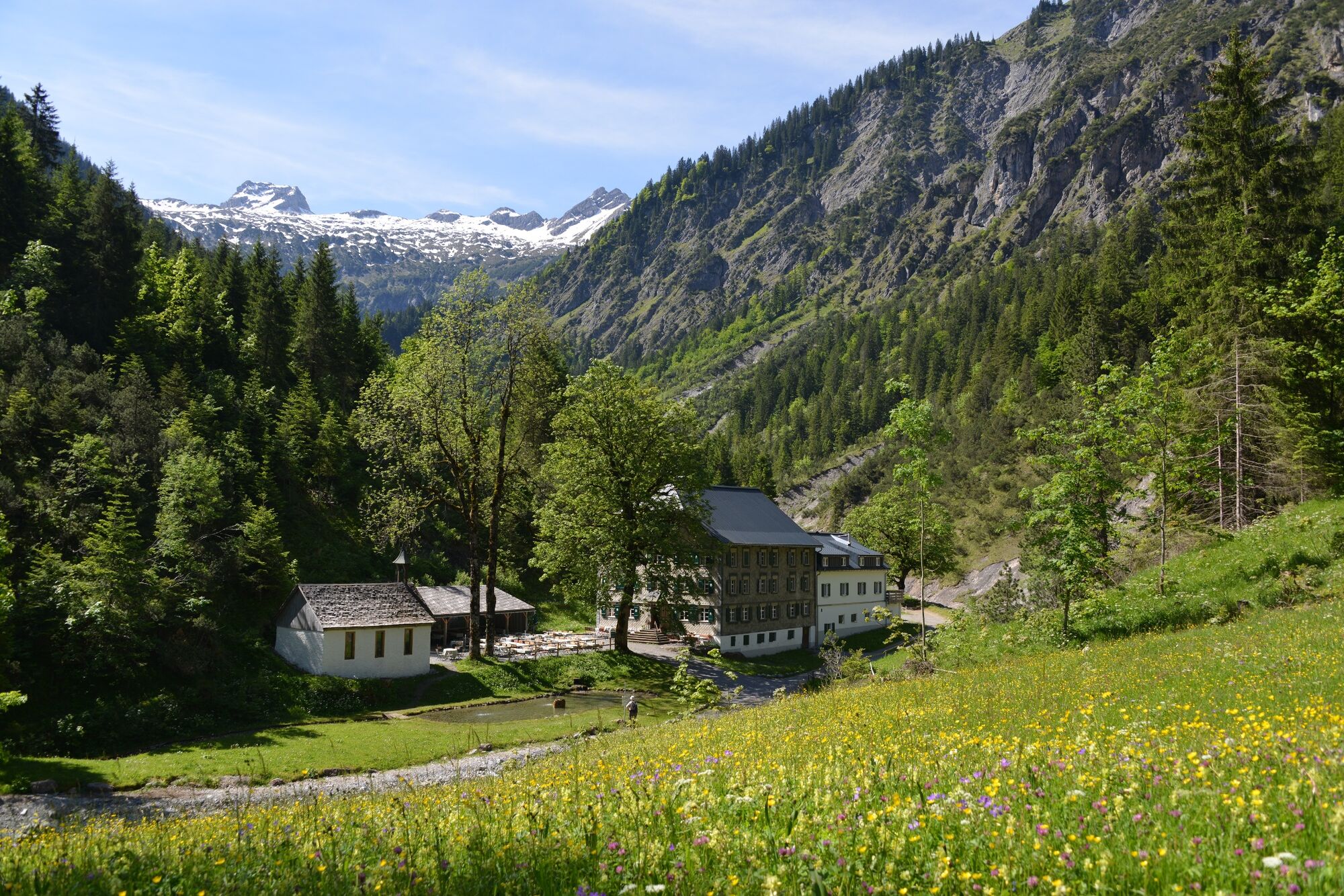
Enjoy the hike into the valley along the stream to the beautifully situated alpine inn Bad Rothenbrunnen in the Gadental valley.
- Vaikeus
-
helppo
- Arviointi
-
- Reitti
-
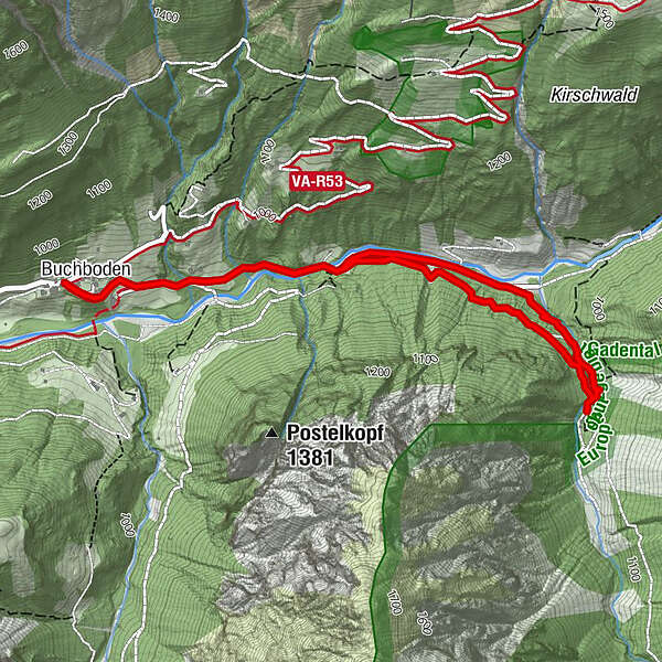
KreuzBuchboden0,1 kmBad Rothenbrunnen2,6 kmMarienkapelle2,6 kmBuchboden5,0 kmKreuz5,1 km
- Paras kausi
-
tammihelmimaalishuhtitoukokesäheinäelosyyslokamarrasjoulu
- Korkein kohta
- 1.009 m
- Kohde
-
Church, Sonntag-Buchboden
- Korkeusprofiili
-


- Kirjoittaja
-
Kiertue Bad Rothenbrunnen | Sonntag-Buchboden käyttää outdooractive.com toimitettu.
GPS Downloads


Yleistä tietoa
Virvokepysäkki
Kulttuuri/Historiallinen
Sisäpiirin vinkki
Lupaava
Lisää retkiä alueilla


