© Valais/Wallis Promotion - Pascal Gertschen - Pascal Gertschen
© Valais/Wallis Promotion - Pascal Gertschen - Pascal Gertschen

© Valais/Wallis Promotion - Mégane Roduit


- Lyhyt kuvaus
-
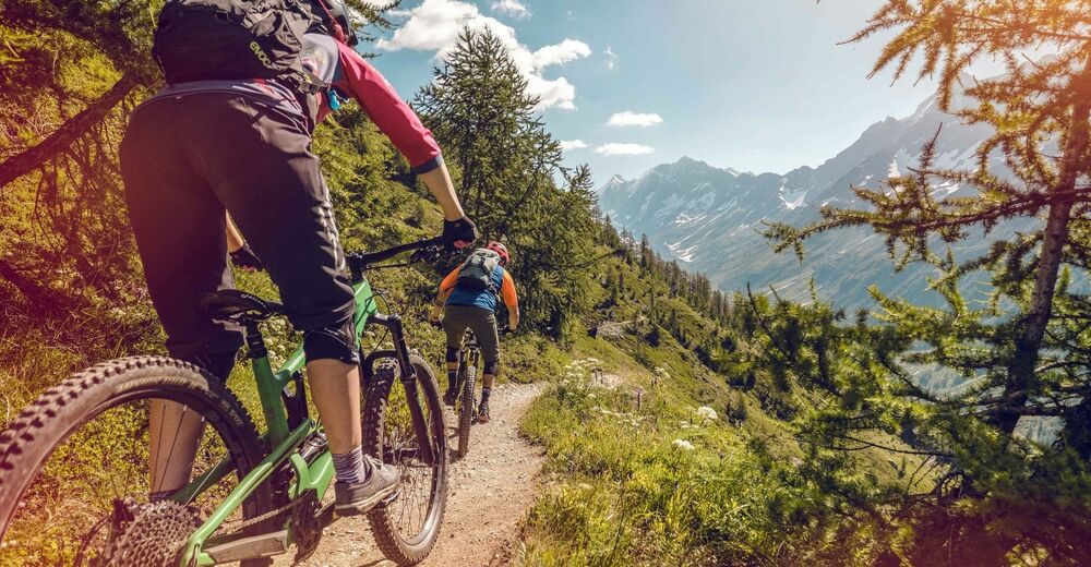
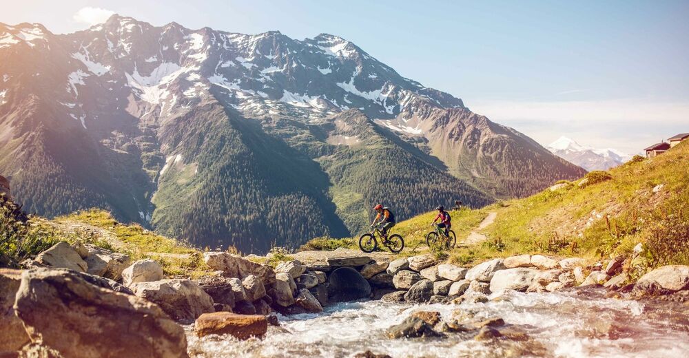
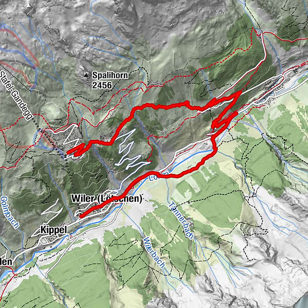
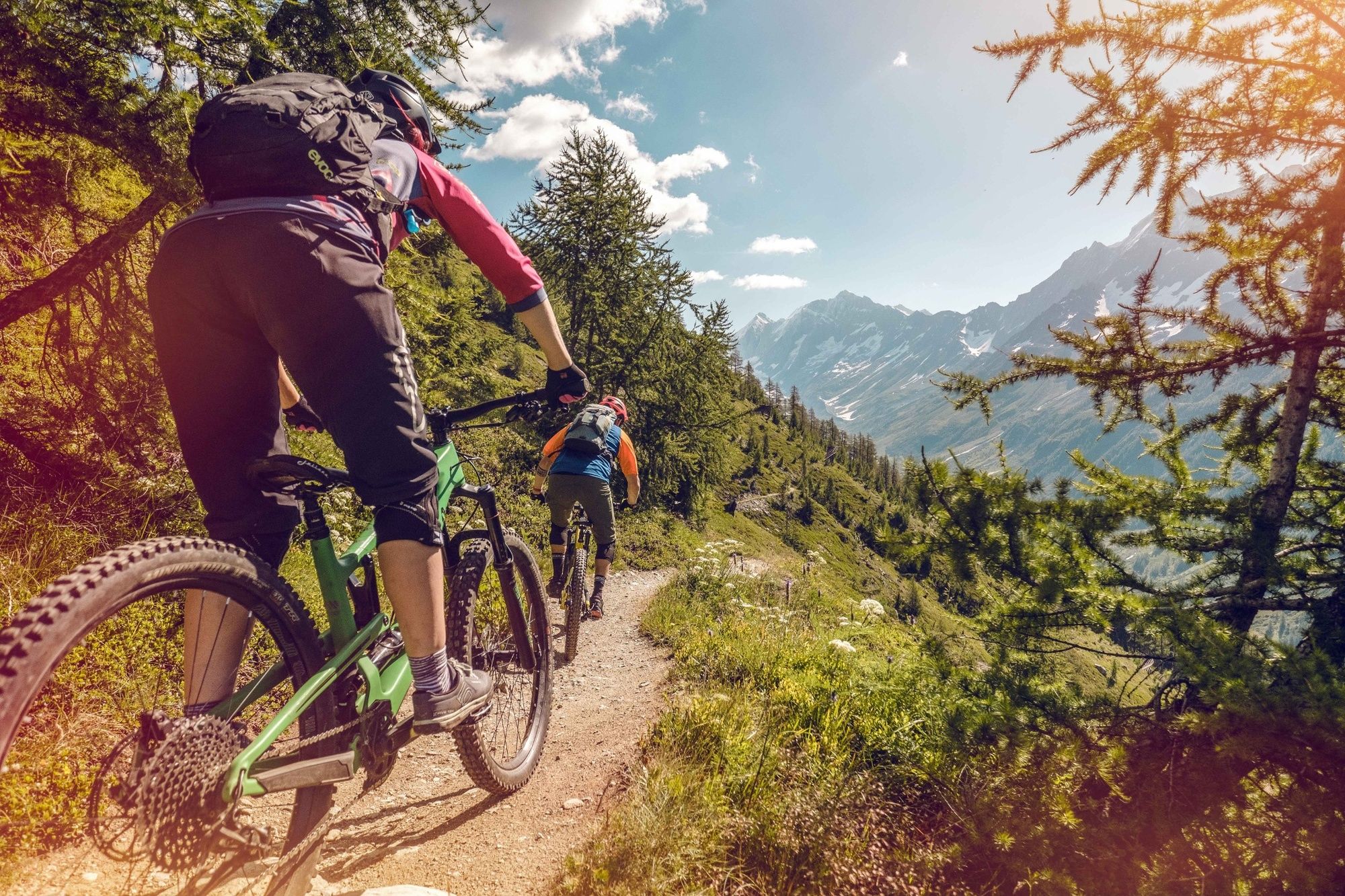
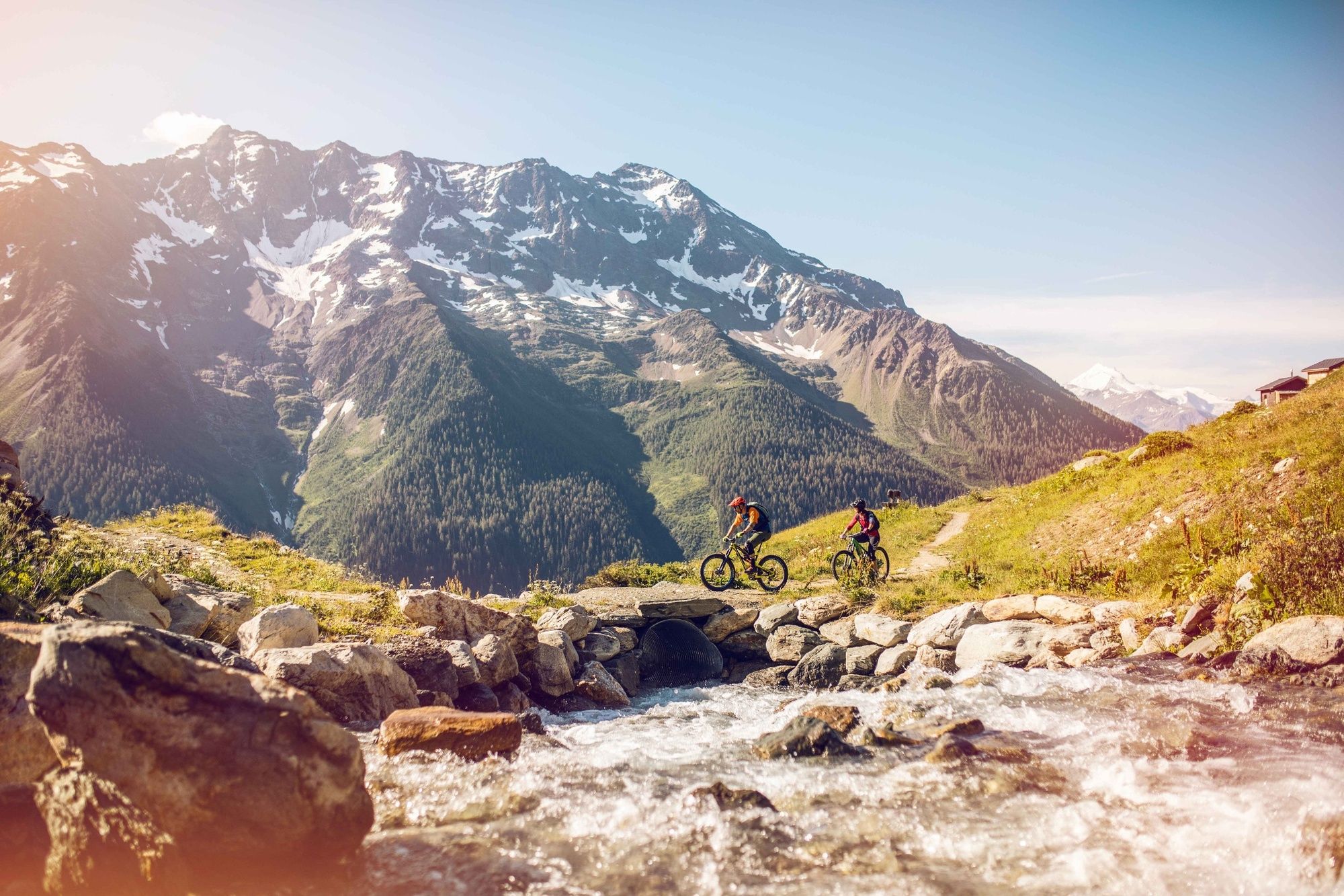
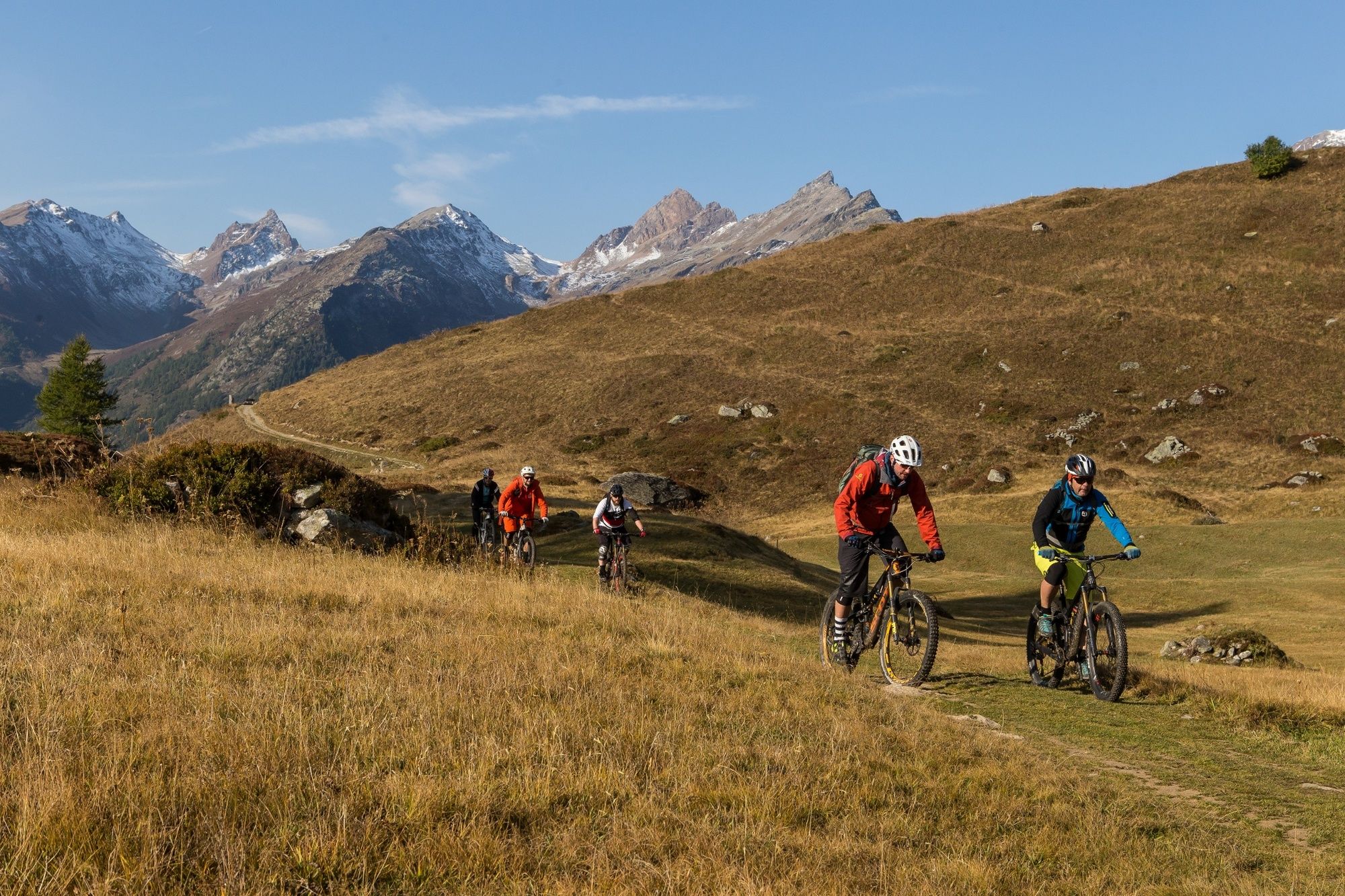
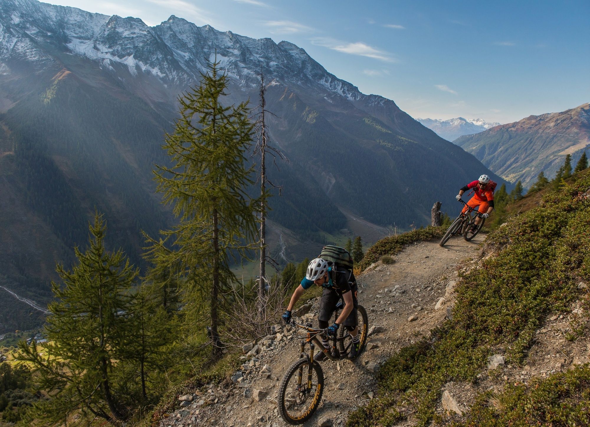
Suitable for beginners as well as experienced mountain bikers, this route offers an attractive and scenic descent – but is neither a flow trail nor a downhill track.
- Vaikeus
-
tapa
- Arviointi
-
- Reitti
-
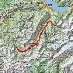
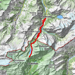
ZudiliNetzbord2,1 kmWeissenried3,4 kmBlatten (Lötschen)4,3 kmNest- und Bietschhorn6,2 kmRied6,2 kmWeestenmattu7,4 kmWiler (Lötschen) (1.419 m)8,8 kmLonza8,9 kmSporting9,2 km
- Paras kausi
-
tammihelmimaalishuhtitoukokesäheinäelosyyslokamarrasjoulu
- Korkein kohta
- 1.946 m
- Kohde
-
Wiler
- Korkeusprofiili
-
 © outdooractive.com
- Kirjoittaja
-
Kiertue Breithorn Bike käyttää outdooractive.com toimitettu.
GPS Downloads


Yleistä tietoa
Virvokepysäkki
Lupaava
Lisää retkiä alueilla
-
Oberwallis
211
-
Lötschental
118
-
Wiler
38