© Nik Wicki - Zermatt Tourismus
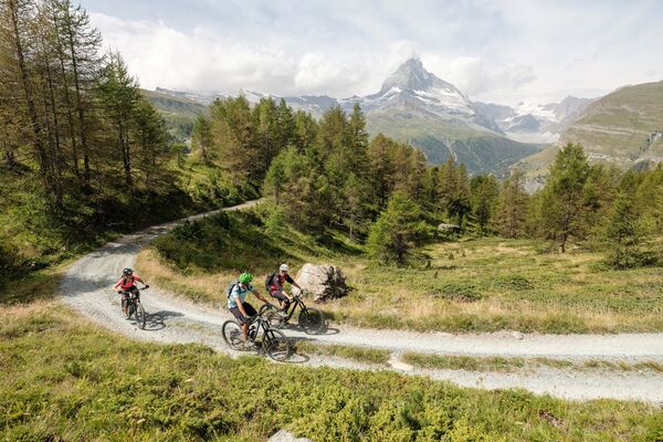
© Beat Habegger - Zermatt Tourismus

- Lyhyt kuvaus
-
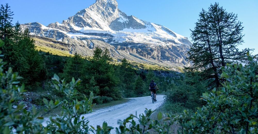
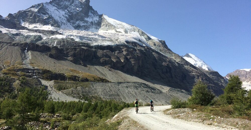
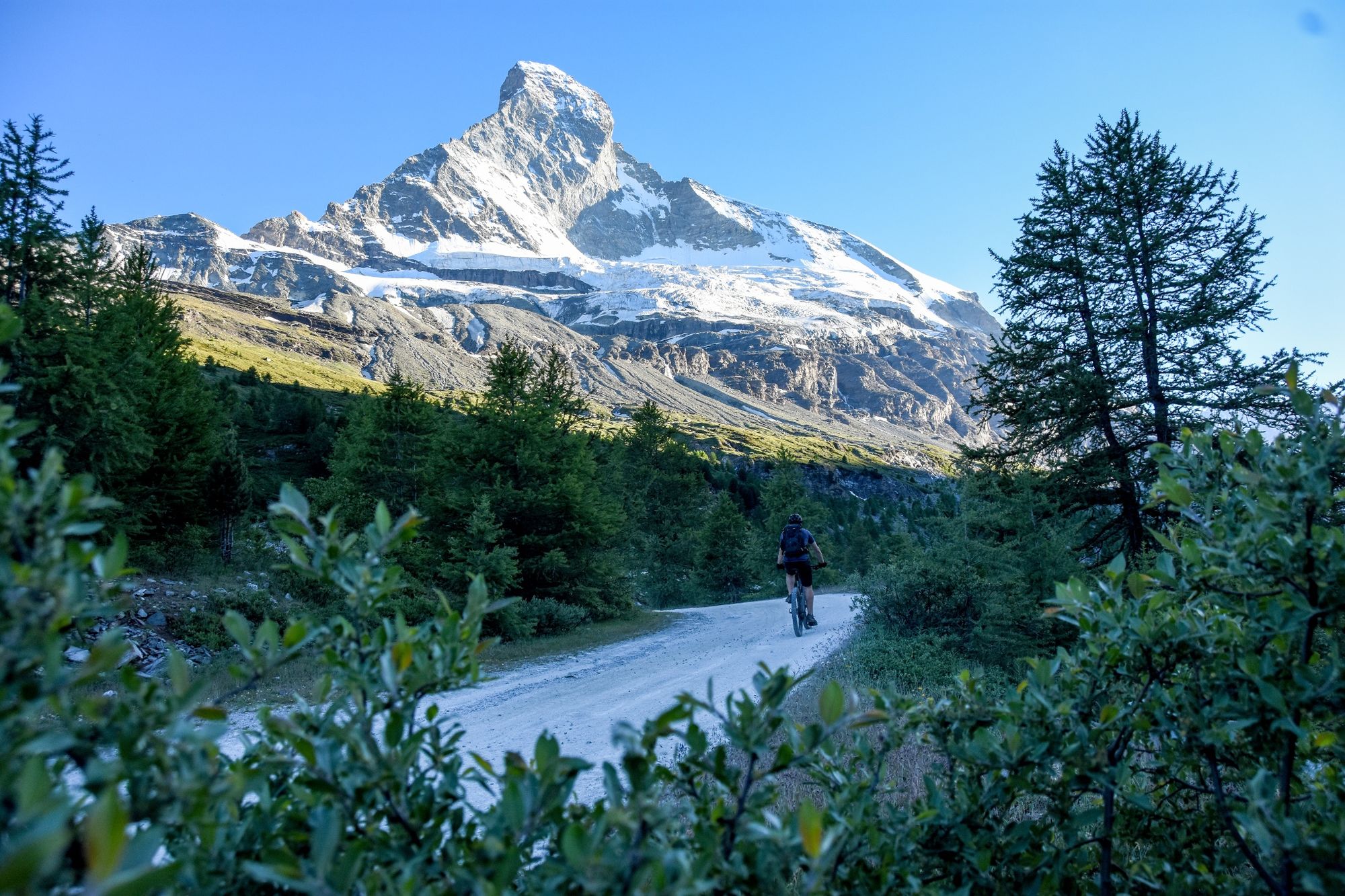
The Schönbielhütte is a popular starting point for hiking tours in the area. However, it’s much easier to reach by bike, rather than on foot. The view from the hut of the north face of the Matterhorn is amazing.
- Vaikeus
-
vaikea
- Arviointi
-
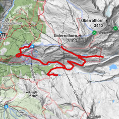
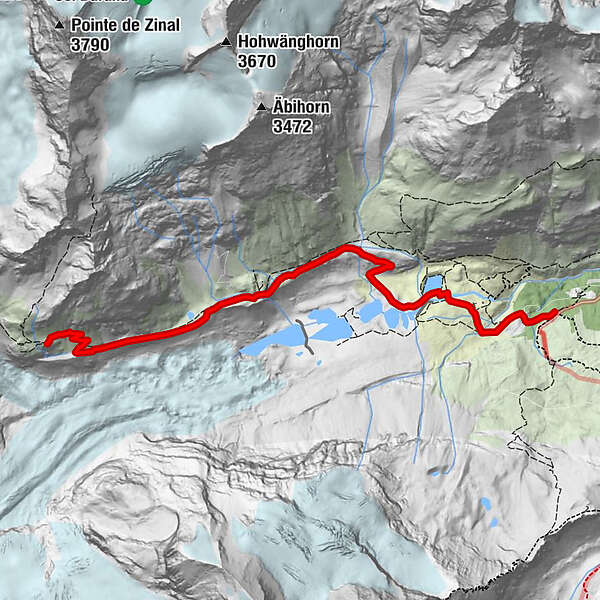
- Reitti
-
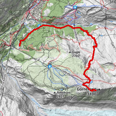
Stafelalp0,0 kmSchönbielhütte SAC (2.694 m)6,2 km
- Paras kausi
-
tammihelmimaalishuhtitoukokesäheinäelosyyslokamarrasjoulu
- Korkein kohta
- 2.689 m
- Kohde
-
Schönbiel Hut (2,694 m)
- Korkeusprofiili
-
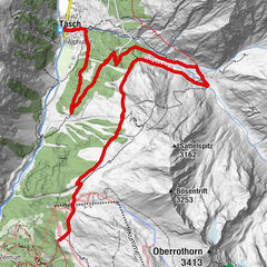
 © outdooractive.com
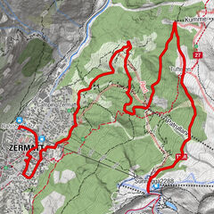

- Kirjoittaja
-
Kiertue Stafel-Schönbiel Hut Bike Tour (Nr. 26) käyttää outdooractive.com toimitettu.
GPS Downloads


Yleistä tietoa
Virvokepysäkki
Flora
Fauna
Lupaava
Lisää retkiä alueilla
-
Unterwallis
143
-
Mattertal
62
-
Breuil Cervinia
21