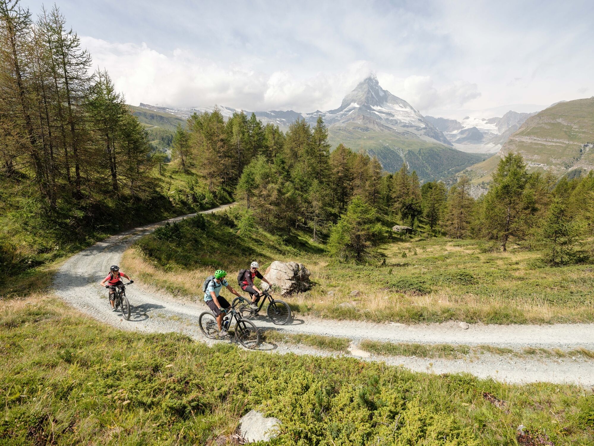
© Zermatt Tourismus - Pascal Gertschen

- Lyhyt kuvaus
-
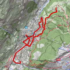
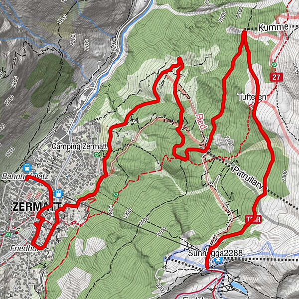
The route comprises the climb from Zermatt to Sunnegga. At Sunegga there is access to many other bike routes. Alternatively you can also use the route to descend to Zermatt.
- Vaikeus
-
tapa
- Arviointi
-
- Reitti
-
Zermatt GGB0,1 kmZermatt (1.608 m)0,5 kmOthmar’s Skihütte3,8 kmTufteren (2.215 m)6,6 kmTufternhütte (2.216 m)6,7 km
- Paras kausi
-
tammihelmimaalishuhtitoukokesäheinäelosyyslokamarrasjoulu
- Korkein kohta
- 2.259 m
- Kohde
-
Sunnegga (2,288 m)
- Korkeusprofiili
-
 © outdooractive.com
- Kirjoittaja
-
Kiertue Zermatt–Sunnegga Uphill Bike Tour (Nr. 22) käyttää outdooractive.com toimitettu.
GPS Downloads


Yleistä tietoa
Virvokepysäkki
Lupaava
Lisää retkiä alueilla
-
Oberwallis
211
-
Mattertal
62
-
Zermatt
35