© Valais/Wallis Promotion - Christian Pfammatter

© Valais/Wallis Promotion - Christian Pfammatter


© Saastal Tourismus

© Valais/Wallis Promotion - Christian Pfammatter

- Lyhyt kuvaus
-
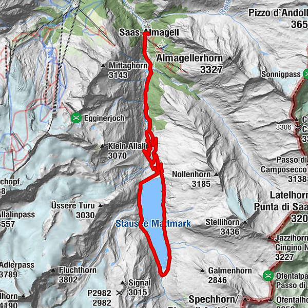
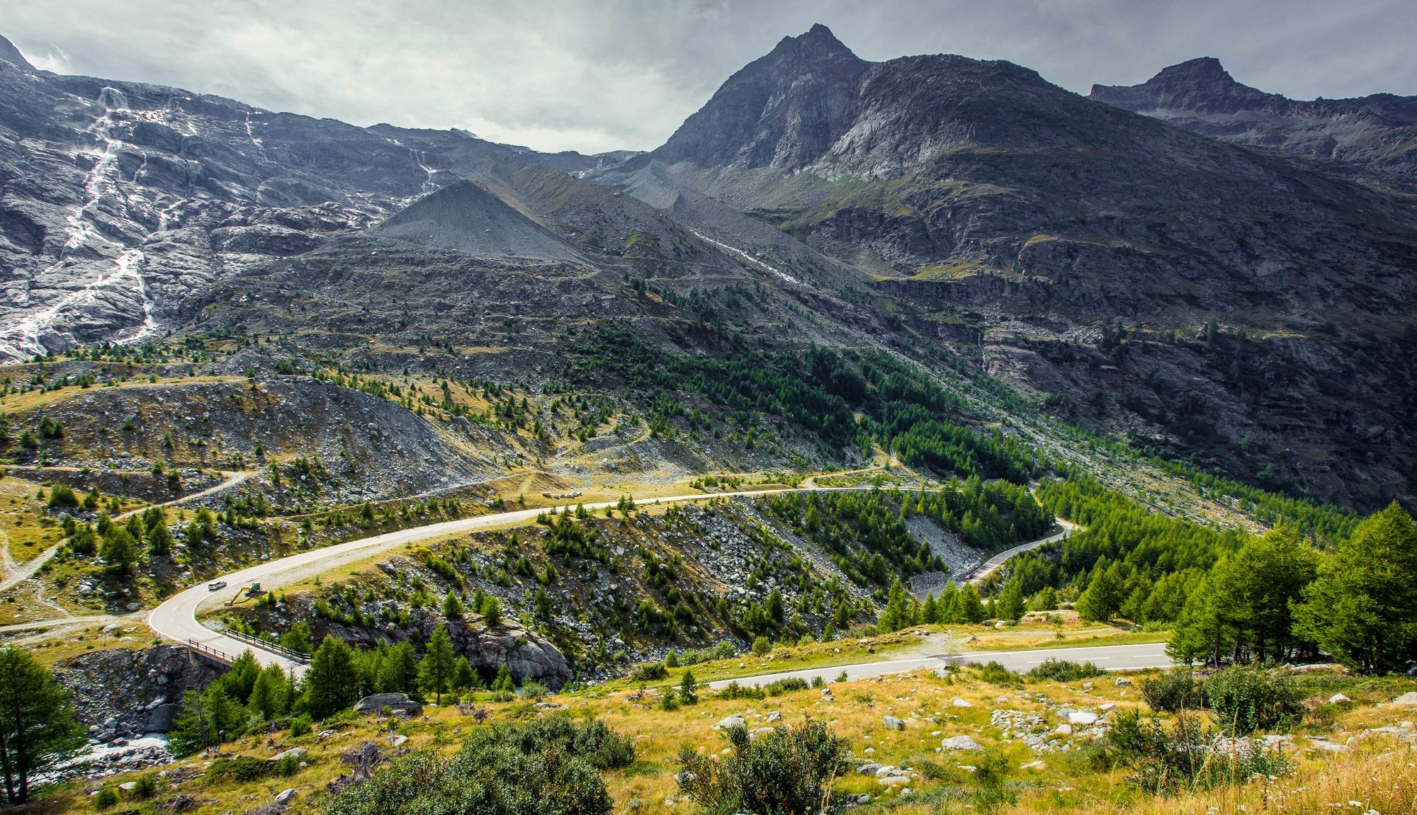
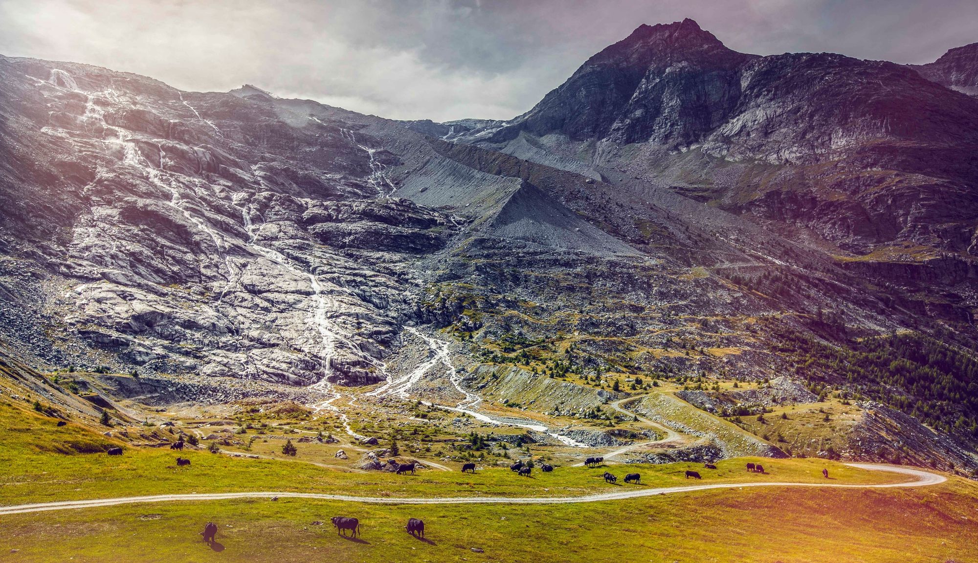
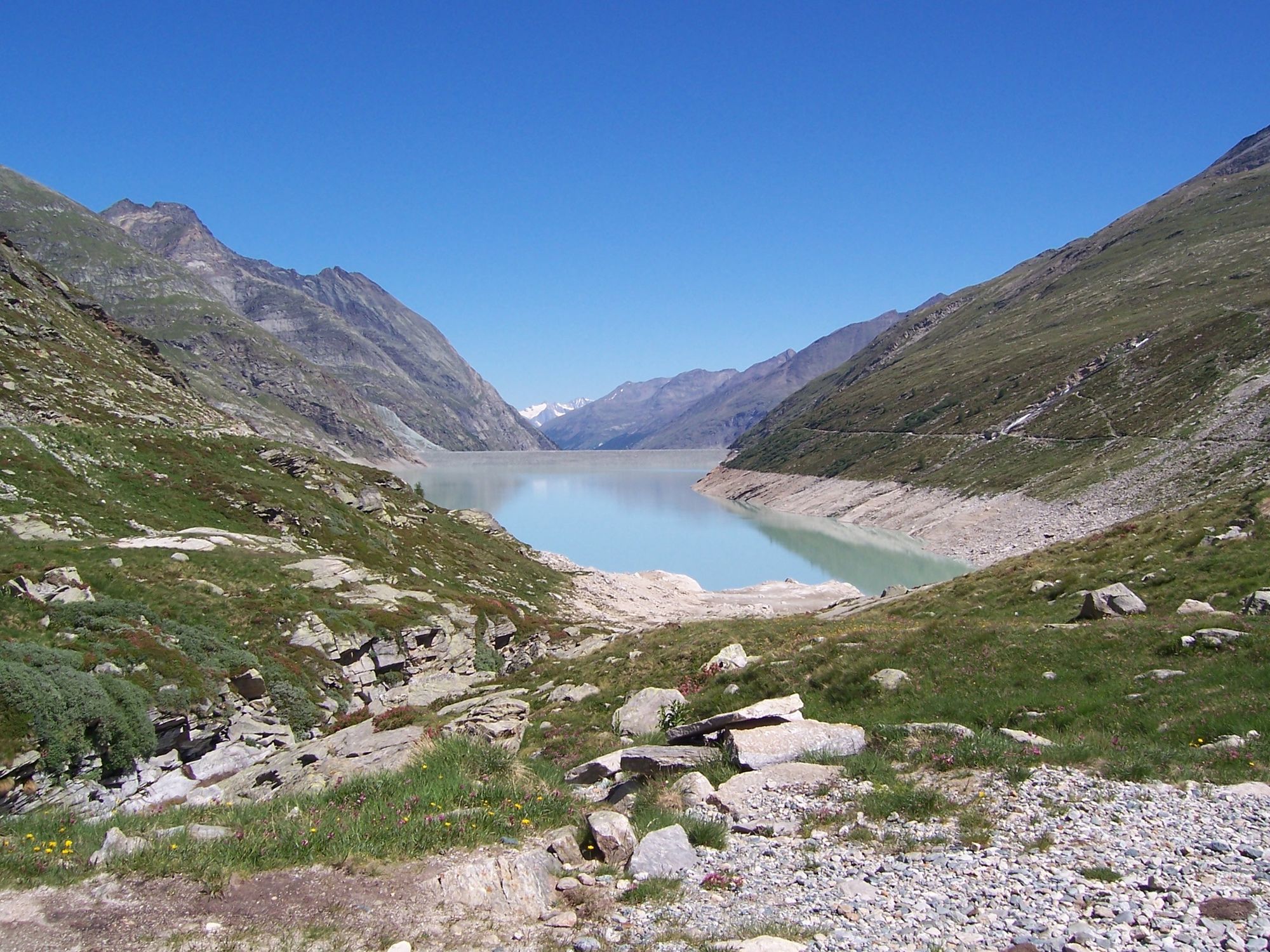
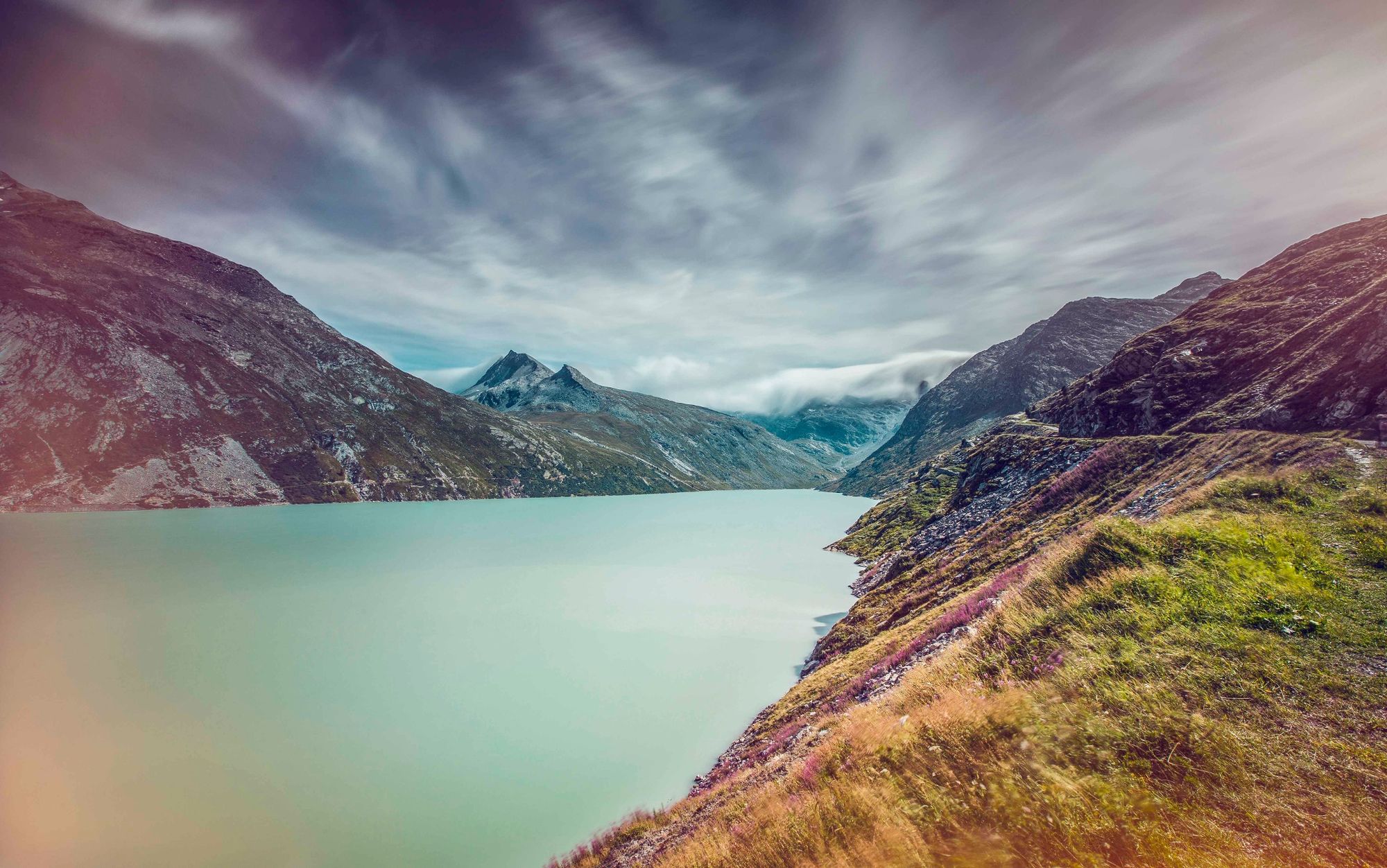
Starting in Saas-Almagell, this circular ride leads up to the Mattmark dam and around the dam through magnificent alpine scenery before returning to the starting point.
- Vaikeus
-
tapa
- Arviointi
-
- Reitti
-
Saas-AlmagellPortjengrat0,1 kmPortjengrat22,0 kmSaas-Almagell22,1 km
- Paras kausi
-
tammihelmimaalishuhtitoukokesäheinäelosyyslokamarrasjoulu
- Korkein kohta
- 2.243 m
- Kohde
-
Village of Saas-Almagell
- Korkeusprofiili
-
 © outdooractive.com

-

-
KirjoittajaKiertue Mattmark Bike käyttää outdooractive.com toimitettu.
GPS Downloads


Yleistä tietoa
Virvokepysäkki
Sisäpiirin vinkki
Flora
Fauna
Lupaava
Lisää retkiä alueilla
-
Oberwallis
211
-
Saastal
67
-
Saas-Almagell
6