
- Lyhyt kuvaus
-
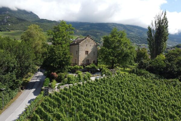
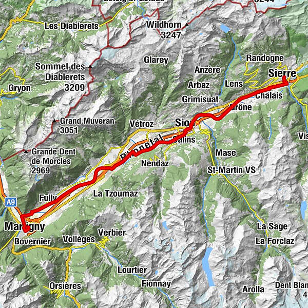
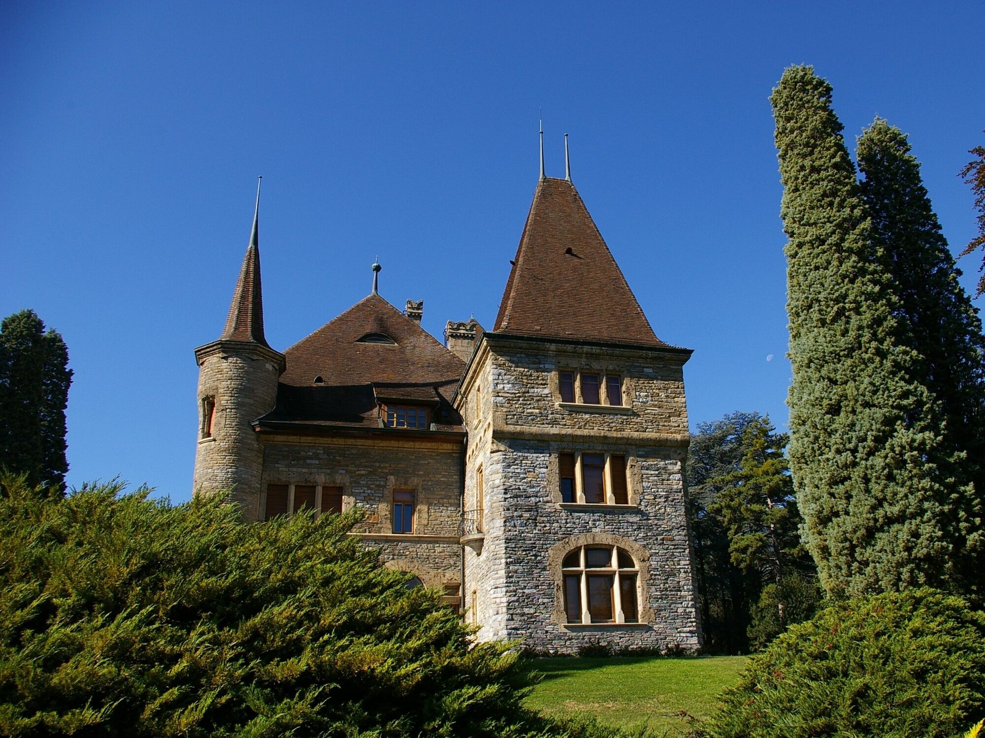
The capital Sion shows its historic castles, churches and mansions. The lower Rhonetal is dominated by the high-alpine scenery of the Dents du Midi. A world of fertile fruit orchards and vineyards.
(Texte Suisse Mobile) - Reitti
-
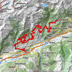
Siders (533 m)Zippis (532 m)1,1 kmNoës3,6 kmOllon VS6,1 kmL'ho'ho'ho7,8 kmSitten (515 m)17,5 kmAproz22,9 kmLes Iles d'Ardon26,6 kmLes Iles de Chamoson28,0 kmFully (461 m)41,3 kmMartigny47,7 kmMartigny (467 m)48,8 km
- Korkein kohta
- 528 m
- Kohde
-
Gare de Martigny
- Korkeusprofiili
-
 © outdooractive.com
- Kirjoittaja
-
Kiertue Route du Rhône - Etape 4: Sierre-Martigny käyttää outdooractive.com toimitettu.
GPS Downloads


Lisää retkiä alueilla
-
Thyon les Collons
108
-
Coteaux du Soleil
57
-
Nendaz
11