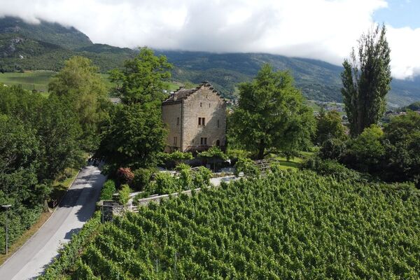
© Crans-Montana Tourisme & Congrès - Fanny Pillonel

- Lyhyt kuvaus
-
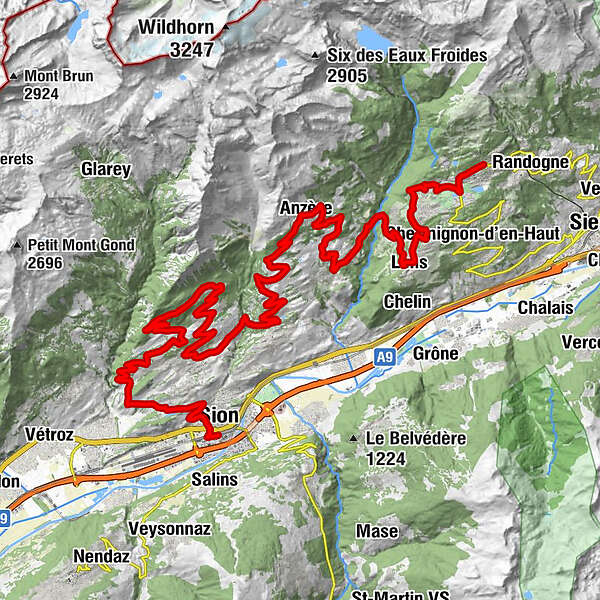
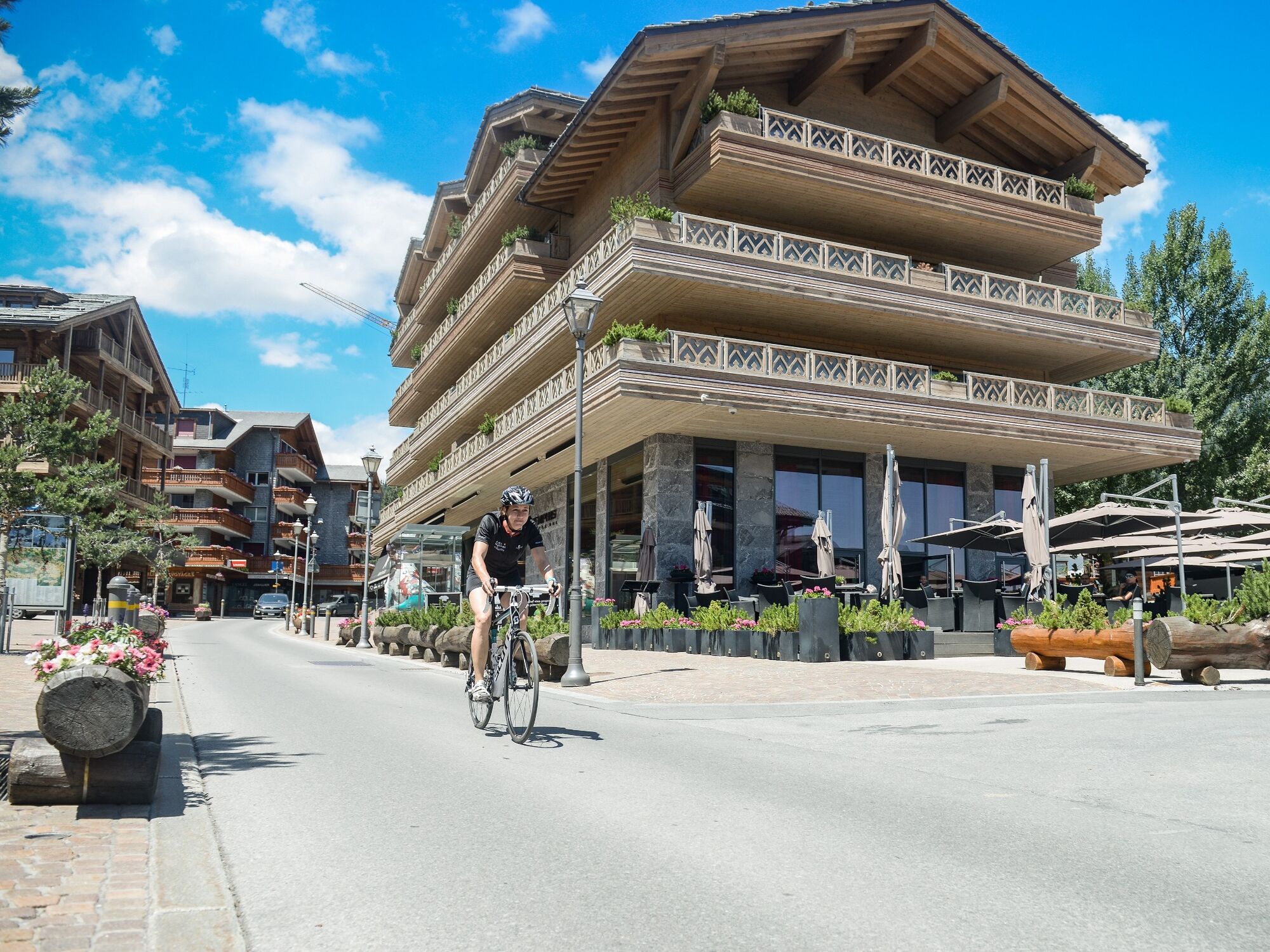
Etape 1 : Sion > Crans Montana
- via Grimisuat > Anzère > Ayent > Icogne > Lens > Crans-Montana - Reitti
-
Eglise évangélique0,1 kmSitten (515 m)0,9 kmLa Muraz4,3 kmChandolin8,8 kmLa Grande Maison8,9 kmSavièse12,0 kmLes Chasseurs18,2 kmBellevue18,7 kmChalet Binii22,1 kmSavièse23,8 kmSaint-Germain25,2 kmCafé Restaurant de l’Union25,3 kmRoumaz25,3 kmSitten (515 m)25,3 kmCafé Restaurant La Channe25,3 kmDrône27,1 kmGrimseln (882 m)29,0 kmArbaz (1.146 m)32,2 kmCafé du Lac, Restaurant du Lac35,3 kmAnzère (1.500 m)38,5 kmChapelle Saint-Jean-Baptiste38,9 kmPralan39,1 kmChamossaire39,7 kmLe Pertou40,1 kmLe Wood-Restaurant41,5 kmSt-Romain (Ayent)43,8 kmSaxonne (Ayent)44,5 kmBotyre (Ayent)44,5 kmLa Place (Ayent)44,5 kmLuc (Ayent)45,2 kmFortunau (Ayent)45,5 kmCafé d'Icogne48,9 kmIcogne (1.026 m)48,9 kmLeis (1.128 m)50,4 kmSaint-Christophe57,5 kmCrans (1.476 m)57,7 kmMontana (1.495 m)58,9 km
- Korkein kohta
- 1.537 m
- Kohde
-
Montana Ycoor, Rue Louis Antille
- Korkeusprofiili
-
 © outdooractive.com
- Kirjoittaja
-
Kiertue Valais Vélo Tour 1: Sion - Crans-Montana käyttää outdooractive.com toimitettu.
GPS Downloads


Lisää retkiä alueilla
-
Thyon les Collons
118
-
Anzère/ Valais
83
-
Arbaz
29