- Lyhyt kuvaus
-
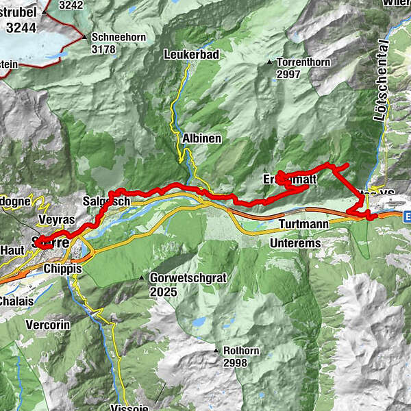
Cycling route: Gampel - Siders
- Vaikeus
-
tapa
- Arviointi
-
- Reitti
-
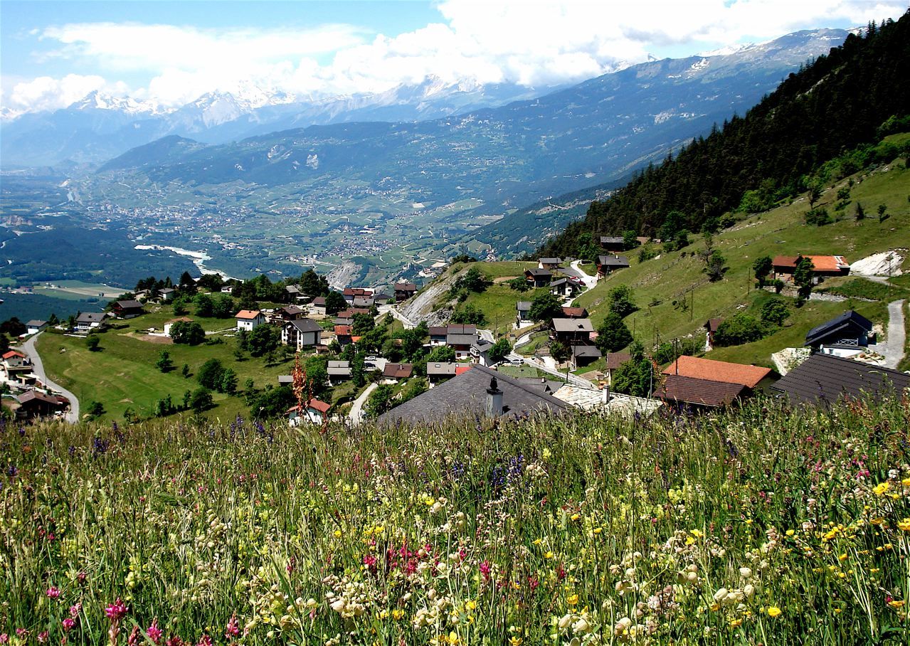
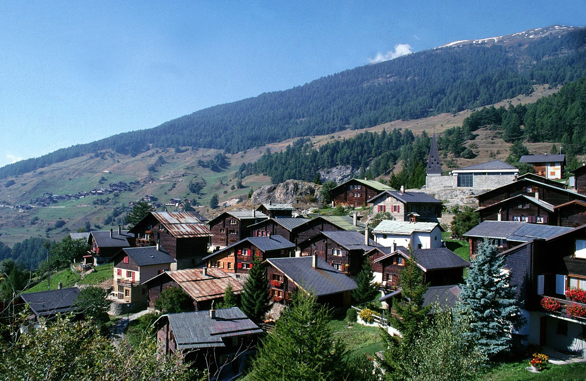
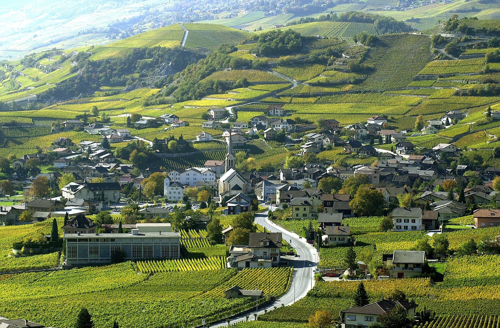
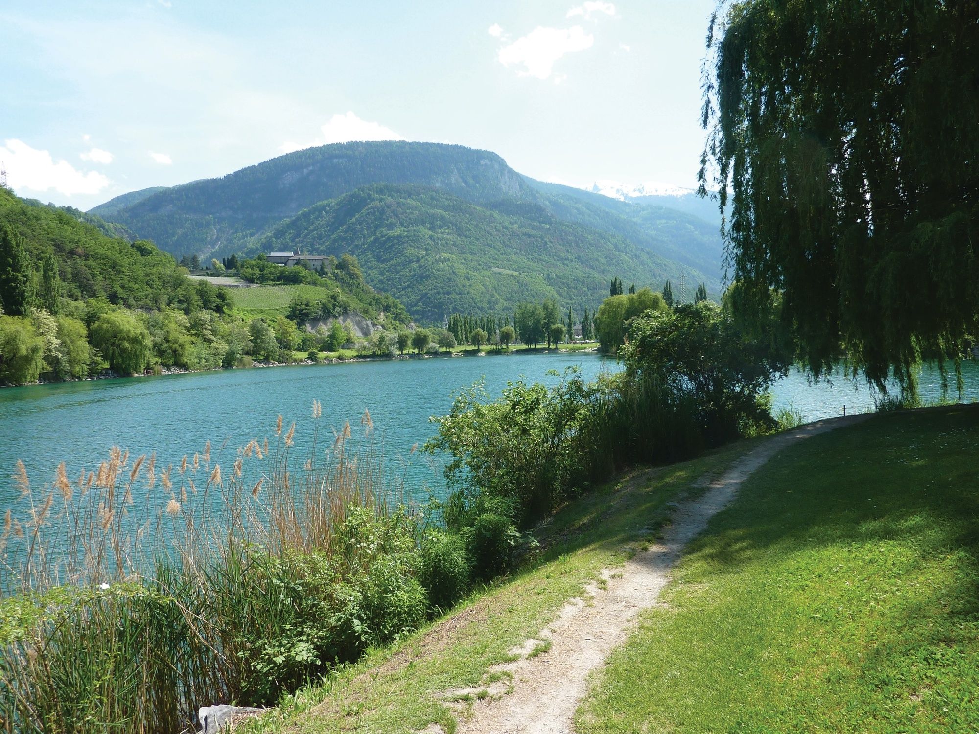
Gampel-Steg (632 m)0,1 kmGampilgaar (Niedergesteln)0,4 kmGampel3,1 kmEggu4,7 kmRestaurant Seilbahn (1.518 m)4,7 kmRestaurant Bielti (1.490 m)4,7 kmJeizinen (1.525 m)4,9 kmKirche Geburt Mariens5,2 kmBiälti5,3 kmBrumatten5,4 kmAchermatten5,5 kmRestaurant Park (1.532 m)6,5 kmJeizinen SJN (1.530 m)6,9 kmTrogachra7,0 kmEngersch7,9 kmErschmatt (1.228 m)11,9 kmBratsch13,4 kmUnter Rotafen16,6 kmOber Rotafen16,6 kmSusten (630 m)19,2 kmLeuk Stadt (731 m)19,9 kmKirche19,9 kmVaronne22,2 kmVarensis22,8 kmSonne26,2 kmKirche St. Johann Baptist26,5 kmSalgesch (581 m)26,6 kmGlarey29,8 kmMuraz31,0 kmVilla31,9 kmSiders (534 m)32,5 kmSiders (533 m)32,7 km
- Paras kausi
-
tammihelmimaalishuhtitoukokesäheinäelosyyslokamarrasjoulu
- Korkein kohta
- 1.585 m
- Kohde
-
Sierre
- Korkeusprofiili
-
 © outdooractive.com
- Kirjoittaja
-
Kiertue Cycling route: Gampel - Siders käyttää outdooractive.com toimitettu.
GPS Downloads
Lisää retkiä alueilla
-
Oberwallis
133
-
Turtmanntal
70
-
Agarn
25