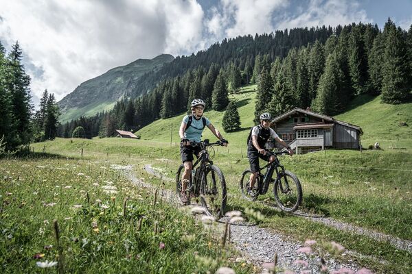
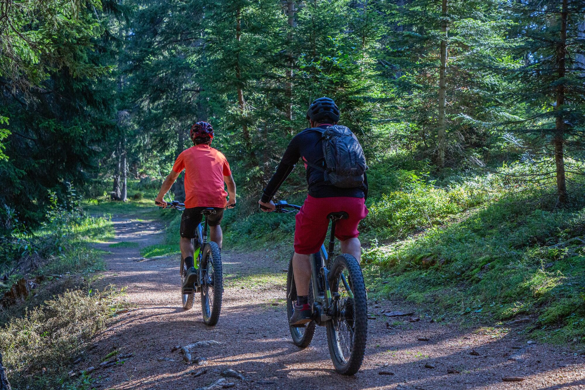
© Crans-Montana Tourisme & Congrès - Laura Rey

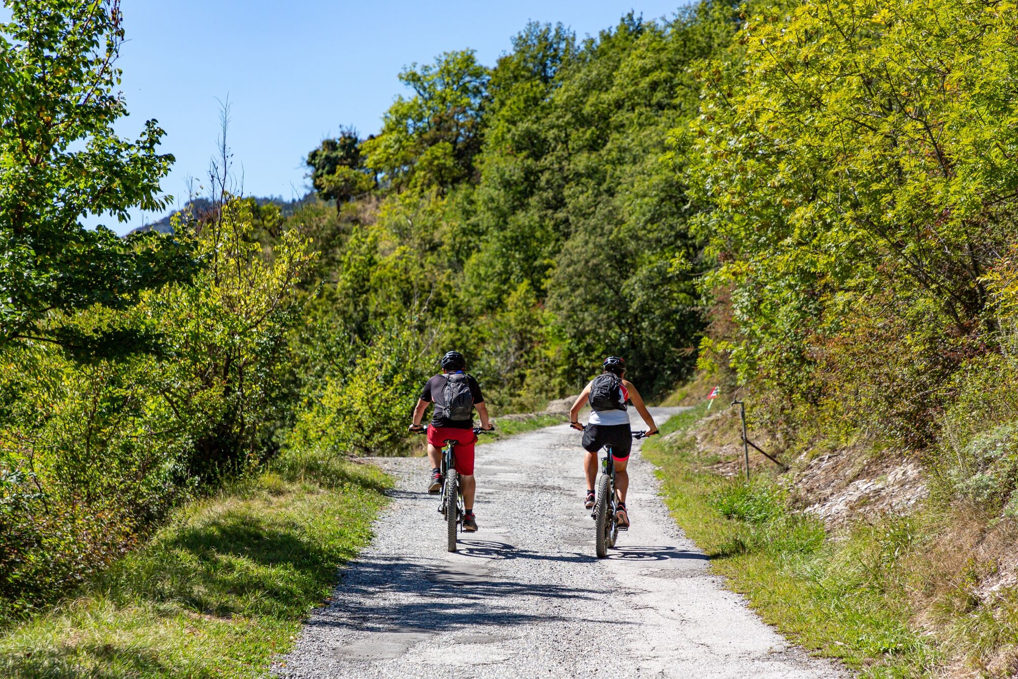
© Crans-Montana Tourisme & Congrès - Laura Rey

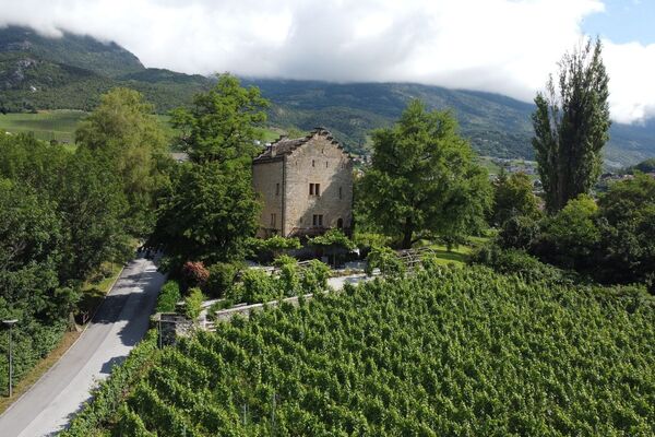
© Crans-Montana Tourisme & Congrès - Laura Rey

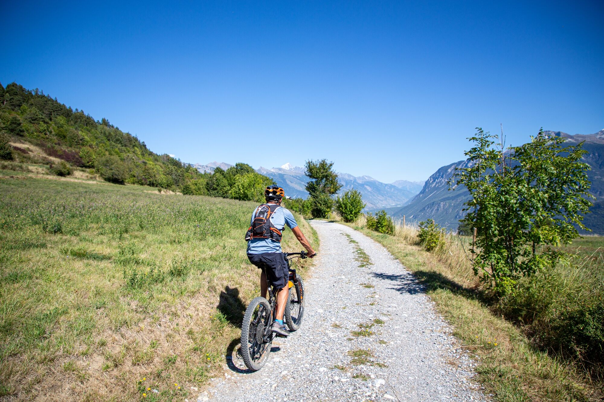
© Crans-Montana Tourisme & Congrès - Francois Panchard

- Lyhyt kuvaus
-
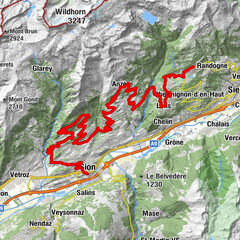
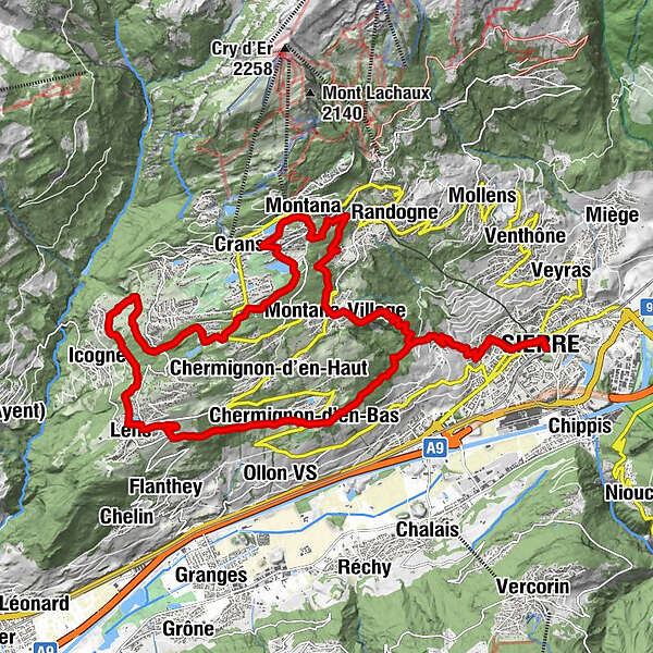
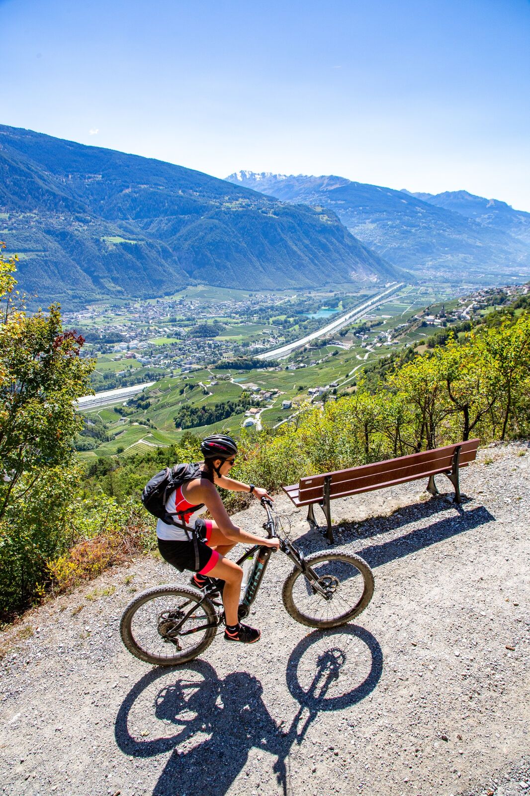
This walk of a little more than 27km takes you to discover the villages surrounding the resort of Crans-Montana, starting from the town of Sierre at 500m altitude to arrive at the resort of Crans-Montana at 1500m and finally descend by the new track at Tovachir. Panoramic view guaranteed!
- Vaikeus
-
tapa
- Arviointi
-
- Reitti
-
Siders (533 m)Villa0,8 kmLoc2,6 kmRelais Fleuri5,5 kmChermignon-d'en-Bas5,7 kmLes Amis9,0 kmLeis (1.128 m)9,3 kmIcogne (1.026 m)10,9 kmCrans (1.476 m)17,8 kmMontana (1.495 m)18,7 kmTemple18,8 kmMontana-Village (1.495 m)22,3 kmLoc24,9 kmVilla26,5 kmSiders (533 m)27,5 km
- Paras kausi
-
tammihelmimaalishuhtitoukokesäheinäelosyyslokamarrasjoulu
- Korkein kohta
- 1.498 m
- Kohde
-
Gare de Sierre - Office du Tourisme
- Korkeusprofiili
-
 © outdooractive.com

- Kirjoittaja
-
Kiertue E-bike : Découverte culturelle käyttää outdooractive.com toimitettu.
GPS Downloads


Yleistä tietoa
Virvokepysäkki
Lisää retkiä alueilla
-
Thyon les Collons
118
-
Crans - Montana
89
-
Chalais
42